Carr Plantation

Wood, Forest in Yorkshire Harrogate

England

Carr Plantation

A1M at Sand Hill Bridleway running parallel and to the west of the A1M between junctions 47 and 48
A1M at Sand Hill Credit: manonabike

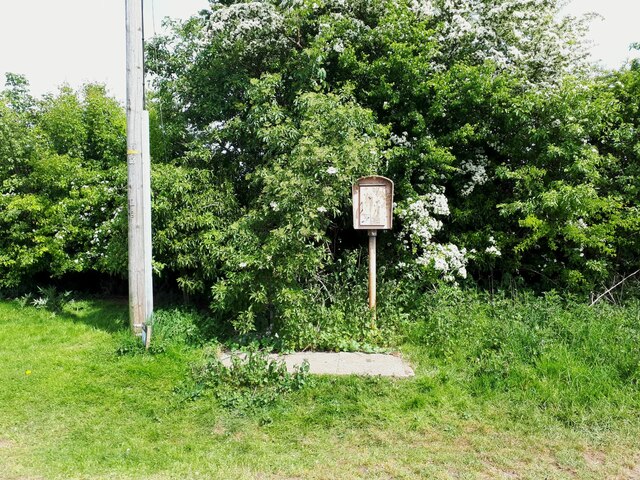
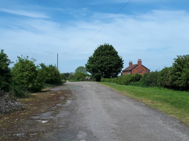
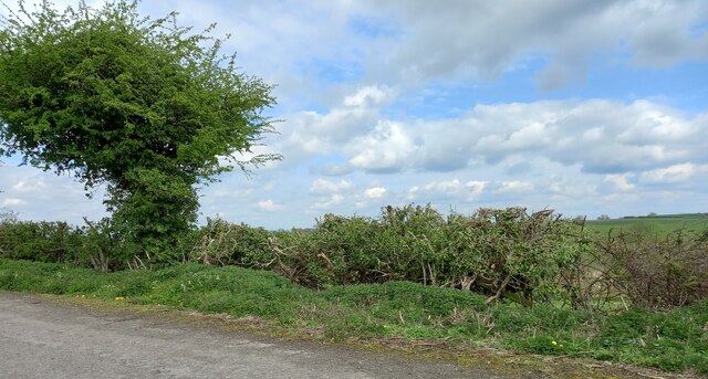
Carr Plantation is a sprawling woodland area located in the picturesque county of Yorkshire in England. Nestled in the heart of the region, this forest is a haven for nature lovers and outdoor enthusiasts. Covering an expansive area of approximately 500 acres, Carr Plantation is home to a diverse range of flora and fauna, making it a vital ecological hotspot.

The woodland is predominantly made up of ancient oak and beech trees, which provide a majestic canopy that stretches for miles. These towering trees not only create a serene and peaceful atmosphere but also attract a variety of bird species, including woodpeckers and owls. Additionally, the forest floor is adorned with a rich carpet of bluebells during the spring season, creating a breathtaking sight for visitors.

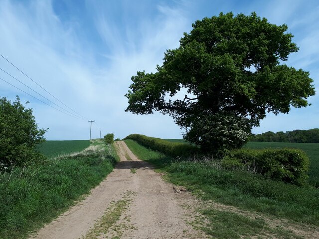
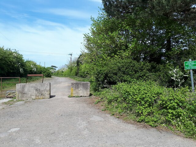
Carr Plantation offers numerous trails and paths, allowing visitors to explore the woodland at their own pace. These trails are well-maintained, making them accessible for hikers, cyclists, and families with young children. Along the way, there are several picnic spots and benches strategically placed, providing a perfect opportunity to rest and admire the natural beauty surrounding the plantation.

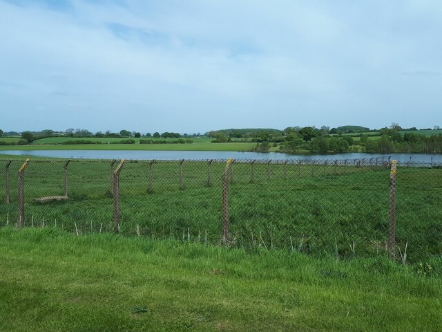
In addition to its recreational value, Carr Plantation plays a crucial role in the local ecosystem. The woodland acts as a natural habitat for various wildlife species, including deer, foxes, and rabbits. Moreover, it contributes to the overall health of the environment by purifying the air, conserving water, and preventing soil erosion.

Overall, Carr Plantation is a captivating woodland destination that offers a harmonious blend of tranquility, natural beauty, and ecological significance. It is a must-visit location for anyone seeking an escape from the hustle and bustle of everyday life.

If you have any feedback on the listing, please let us know in the comments section below.

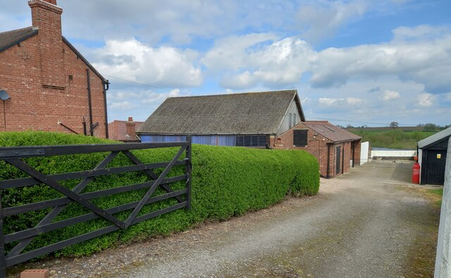
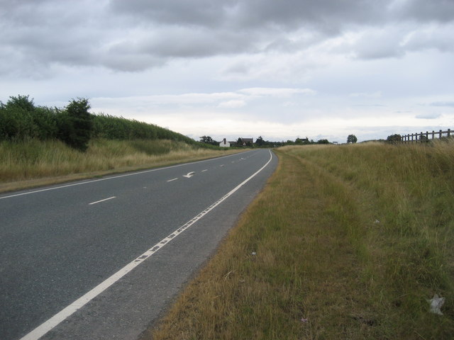
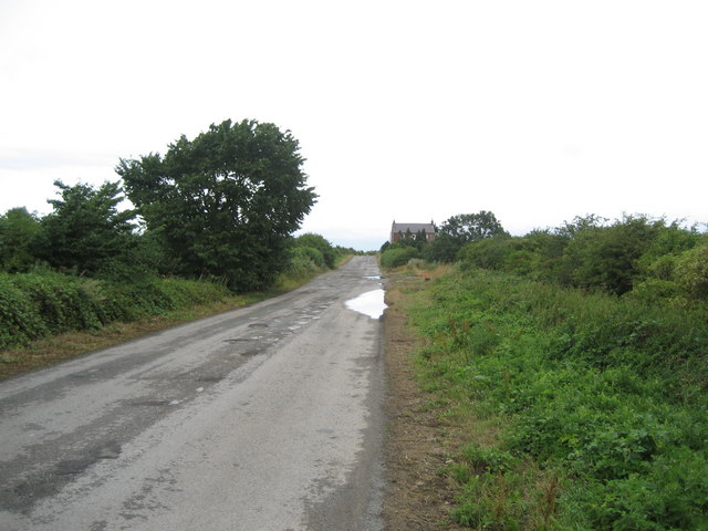
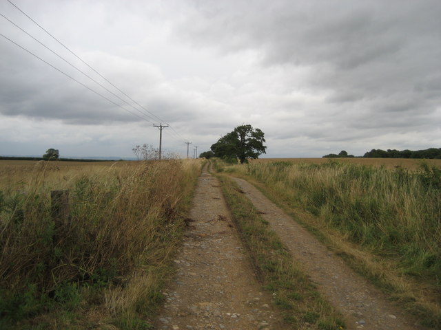
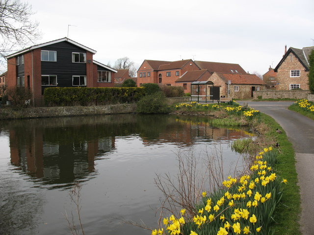
Carr Plantation Images

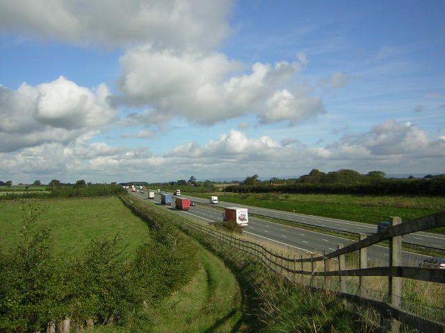
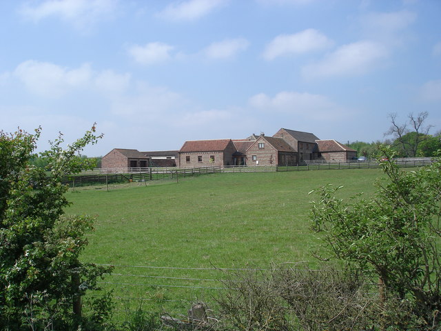
Images are sourced within 2km of 54.039084/-1.3937315 or Grid Reference SE3960. Thanks to Geograph Open Source API. All images are credited.

A1M at Sand Hill Bridleway running parallel and to the west of the A1M between junctions 47 and 48
A1M at Sand Hill
Bridleway running parallel and to the west of the A1M between junctions 47 and 48
Walls Close House The very handsome Walls Close House Farm, bathed in the early May sunshine.
Walls Close House
The very handsome Walls Close House Farm, bathed in the early May sunshine.
Moor Lane The track runs for about 2 miles connecting two ancient routes: the Great North Road and the old Roman road of Rudgate.  It is therefore likely that this is itself an ancient thoroughfare, now classed as a public bridleway.
Moor Lane
The track runs for about 2 miles connecting two ancient routes: the Great North Road and the old Roman road of Rudgate. It is therefore likely that this is itself an ancient thoroughfare, now classed as a public bridleway.
Bridleway signpost This wooden post at a junction of two bridleways is marked (left) to "A1 0.7km".  Signs in kilometres are still rare in England: Bradford Council erected them widely in the 1980s, but I guess this dates from the 1970s.  The old Great North Road in this vicinity had already been bypassed in the 1960s by the A1, which later became the A168 when it was in turn replaced by the A1(M)
Bridleway signpost
This wooden post at a junction of two bridleways is marked (left) to "A1 0.7km". Signs in kilometres are still rare in England: Bradford Council erected them widely in the 1980s, but I guess this dates from the 1970s. The old Great North Road in this vicinity had already been bypassed in the 1960s by the A1, which later became the A168 when it was in turn replaced by the A1(M)
The old Great North Road beyond Claro House This is the old Great North Road which in this vicinity had already been bypassed in the 1960s by the A1, which later became the A168 when it was in turn replaced by the A1(M).  The sign saying "public bridleway only" is reinforced by concrete blocks.
The old Great North Road beyond Claro House
This is the old Great North Road which in this vicinity had already been bypassed in the 1960s by the A1, which later became the A168 when it was in turn replaced by the A1(M). The sign saying "public bridleway only" is reinforced by concrete blocks.
Phone box on the old Great North Road The old Great North Road in this vicinity had already been bypassed in the 1960s by the A1, which later became the A168 when it was in turn replaced by the A1(M).  Emergency phones like this have been superseded, other than on motorways, in the era of the mobile phone.  <a href="https://www.geograph.org.uk/photo/214244">SE4060 : Abandoned SOS Phone</a> shows a close look.
Phone box on the old Great North Road
The old Great North Road in this vicinity had already been bypassed in the 1960s by the A1, which later became the A168 when it was in turn replaced by the A1(M). Emergency phones like this have been superseded, other than on motorways, in the era of the mobile phone. SE4060 : Abandoned SOS Phone shows a close look.
Thornbar Farm The farm was adjacent to the old Great North Road which is now only a bridleway apart from farm access.
Thornbar Farm
The farm was adjacent to the old Great North Road which is now only a bridleway apart from farm access.
Lake east of Nineveh Farm This doesn't appear on maps of even 50 years ago.  I presume it's the result of either quarrying or mining subsidence since then.
Lake east of Nineveh Farm
This doesn't appear on maps of even 50 years ago. I presume it's the result of either quarrying or mining subsidence since then.
Fence boundary to arable field, Moor Lane, Great Ouseburn According to the 1910 OS map there was a benchmark at this location on the north side of the Moor Lane track. Nothing was found.
Fence boundary to arable field, Moor Lane, Great Ouseburn
According to the 1910 OS map there was a benchmark at this location on the north side of the Moor Lane track. Nothing was found.
Moor Lane track, Great Ouseburn According to the 1910 OS map there was a benchmark at this location on the north side of the track. Nothing was found.
Moor Lane track, Great Ouseburn
According to the 1910 OS map there was a benchmark at this location on the north side of the track. Nothing was found.
Claro House, Coneythorpe on A168 According to the OS benchmark database there was a benchmark cut into the west facing wall of the building. Nothing was found.
Claro House, Coneythorpe on A168
According to the OS benchmark database there was a benchmark cut into the west facing wall of the building. Nothing was found.
Unruly field hedge on track between South Farm and Thornber Farm According to the 1910 OS map there was a benchmark at this location. Nothing was found.
Unruly field hedge on track between South Farm and Thornber Farm
According to the 1910 OS map there was a benchmark at this location. Nothing was found.
Outbuilding of Thornber Farm, Coneythorpe According to the OS benchmark database there is a benchmark cut into the west face of this brick built, one-storey outbuilding. There was no view from the roadside.
Outbuilding of Thornber Farm, Coneythorpe
According to the OS benchmark database there is a benchmark cut into the west face of this brick built, one-storey outbuilding. There was no view from the roadside.
A1(M) near Arkendale Taken from the new flyover that connects the village of Arkendale to the east - this is looking northbound
A1(M) near Arkendale
Taken from the new flyover that connects the village of Arkendale to the east - this is looking northbound
Track beside A1(M) Well defined track, presumably to direct walkers towards the approaching flyover
Track beside A1(M)
Well defined track, presumably to direct walkers towards the approaching flyover
A168 approaching Ninevah This used to be the Great North Road or A1, which now runs parallel to the right and has been upgraded to motorway status. The former A1 has been relegated to the A168, and as can be seen is empty. I walked down here for 15 minutes and was passed by three cars - I was tempted to let the dog off the lead
A168 approaching Ninevah
This used to be the Great North Road or A1, which now runs parallel to the right and has been upgraded to motorway status. The former A1 has been relegated to the A168, and as can be seen is empty. I walked down here for 15 minutes and was passed by three cars - I was tempted to let the dog off the lead
Original Great North Road This pitted and rutted bridleway falling into disrepair used to be the Great North Road (A1.)  It has been shifted twice since then, and now runs parallel with the A168 and A1(M) - the original now forgotten
Original Great North Road
This pitted and rutted bridleway falling into disrepair used to be the Great North Road (A1.) It has been shifted twice since then, and now runs parallel with the A168 and A1(M) - the original now forgotten
Track over Great Ouseburn Moor Green Lane, ploughing an arrow straight course to the east between arable fields
Track over Great Ouseburn Moor
Green Lane, ploughing an arrow straight course to the east between arable fields
Show me another place!

Carr Plantation is located at Grid Ref: SE3960 (Lat: 54.039084, Lng: -1.3937315)

Division: West Riding

Administrative County: North Yorkshire

District: Harrogate

Police Authority: North Yorkshire

What 3 Words

///bucked.fuses.author. Near Boroughbridge, North Yorkshire

Related Wikis

Allerton waste recovery park

Allerton waste recovery park is a waste recovery and incineration site located on a former quarry at Allerton Mauleverer, near Knaresborough, England....

Arkendale

Arkendale is a village and civil parish in the Harrogate district of North Yorkshire, England. It is 6 miles (10 km) north-east of Harrogate town, and...

Ferrensby

Ferrensby is a village and civil parish in the Harrogate district of North Yorkshire, England. The population of the civil parish at the 2011 census was...

Flaxby

Flaxby is a village and civil parish in the Harrogate district of North Yorkshire, England. It is close to the A1(M) motorway and 2 miles (3.2 km) east...

Allerton Castle

Allerton Castle, also known as Allerton Park, is a Grade I listed nineteenth-century Gothic or Victorian Gothic house at Allerton Mauleverer in North Yorkshire...

Allerton Mauleverer Priory

Allerton Mauleverer Priory was a medieval monastic house in North Yorkshire, England. The site is in Allerton Mauleverer with Hopperton Parish in the Harrogate...

Marton, Harrogate

Marton is a village in the Harrogate district of North Yorkshire, England. It is situated approximately 15 miles (24 km) north-west of the city of York...

Marton cum Grafton

Marton cum Grafton is a civil parish in the Borough of Harrogate of North Yorkshire, England. The parish has only two settlements (Marton and Grafton)...

Nearby Amenities

Located within 500m of 54.039084,-1.3937315
Power: pole
Lat/Long: 54.0353577/-1.3973163
Power: pole
Lat/Long: 54.035487/-1.396082
Power: pole
Lat/Long: 54.0356476/-1.3947182
Power: pole
Lat/Long: 54.035804/-1.393321
Power: pole
Lat/Long: 54.0359446/-1.39205
Line Management: termination
Location Transition: yes
Power: tower
Lat/Long: 54.0360873/-1.3907532
Line Management: termination
Location Transition: yes
Power: tower
Lat/Long: 54.0362613/-1.3889381
Power: pole
Lat/Long: 54.036392/-1.3876755
The data included in this document is from www.openstreetmap.org. The data is made available under ODbL.

Have you been to Carr Plantation?

Leave your review of Carr Plantation below (or comments, questions and feedback).