Bartlett's Down
Wood, Forest in Hampshire Test Valley
England
Bartlett's Down
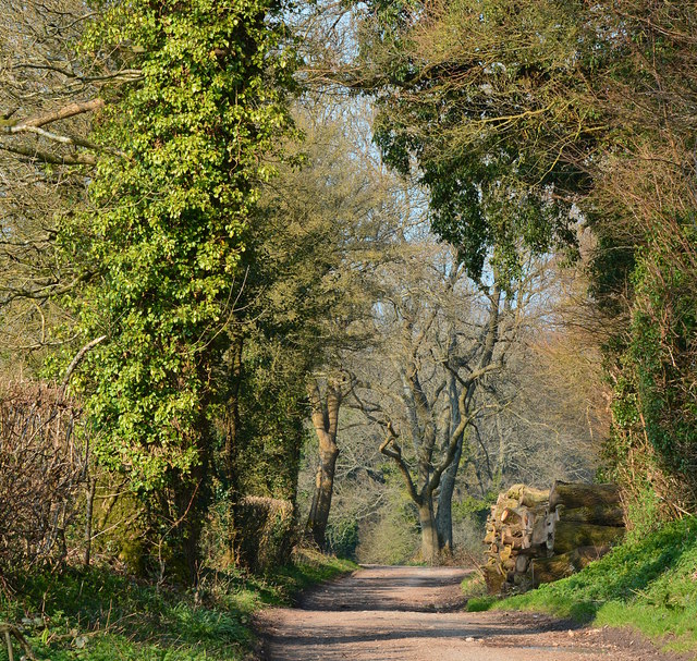
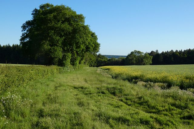
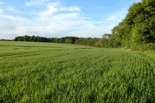
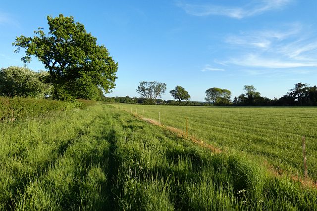
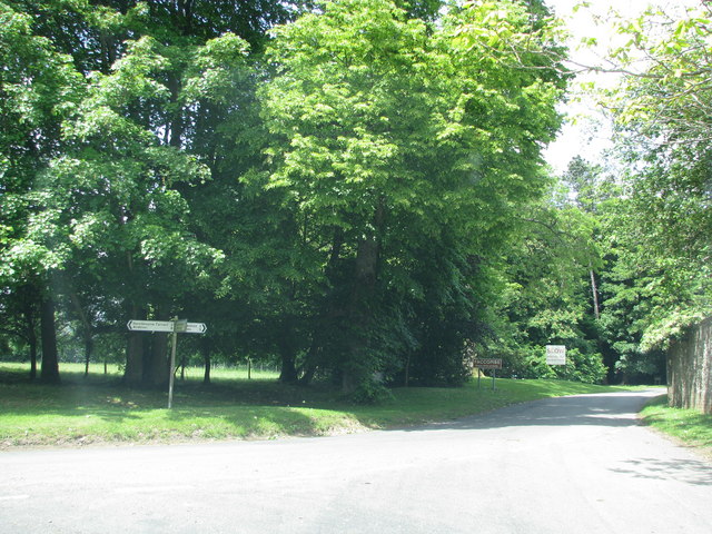
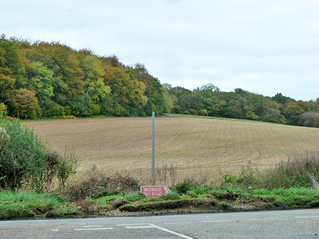
Bartlett's Down is a picturesque woodland area located in Hampshire, England. Situated in the heart of the Hampshire countryside, this enchanting forest covers an area of approximately 500 acres, offering a tranquil retreat for nature enthusiasts and outdoor lovers.
The woodland is predominantly composed of oak and beech trees, creating a dense and verdant canopy that provides shade and shelter for a wide variety of flora and fauna. The forest floor is adorned with a rich carpet of bluebells during the spring, creating a stunning display of vibrant colors.
The diverse ecosystem of Bartlett's Down supports a plethora of wildlife, including deer, foxes, badgers, and a myriad of bird species. Nature enthusiasts have the opportunity to spot these creatures in their natural habitat while exploring the forest's numerous trails and footpaths.
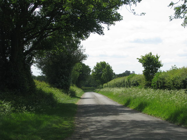
The forest is also home to an array of recreational activities. Visitors can enjoy a leisurely stroll through the woodland, taking in the sights and sounds of nature, or embark on a more adventurous hike along the designated walking routes. Cyclists can also explore the forest on the dedicated mountain biking trails, while horse riders can enjoy the equestrian paths that wind through the woodland.
Bartlett's Down is a popular destination for families, offering picnic areas and designated play areas for children. The forest provides a peaceful and idyllic setting for a day out, allowing visitors to immerse themselves in the beauty of nature and escape the bustle of everyday life.
If you have any feedback on the listing, please let us know in the comments section below.
Bartlett's Down Images
Images are sourced within 2km of 51.314304/-1.431326 or Grid Reference SU3957. Thanks to Geograph Open Source API. All images are credited.


Bartlett's Down is located at Grid Ref: SU3957 (Lat: 51.314304, Lng: -1.431326)
Administrative County: Hampshire
District: Test Valley
Police Authority: Hampshire
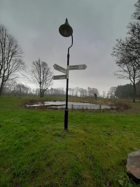
What 3 Words
///frog.permit.stupidly. Near Highclere, Hampshire
Related Wikis
Faccombe
Faccombe is a village and civil parish in Hampshire, England. The village lies on the Hampshire-Berkshire border and is situated on the North Downs. Its...
Ashmansworth
Ashmansworth is a village and civil parish in the Basingstoke and Deane district of the English county of Hampshire. == Geography == The village is about...
Sidley Wood
Sidley Wood is a 11.7-hectare (29-acre) biological Site of Special Scientific Interest north of Andover in Hampshire.This south-facing secondary wood on...

Netherton, Hampshire
Netherton is a hamlet in northwest Hampshire, England. According to the Post Office the population of the 2011 Census was included in the civil parish...

Pilot Hill, Hampshire
Pilot Hill is the highest summit in Hampshire, England, with a maximum elevation of 286 m (938 ft). It lies around 2 miles (3.2 km) to the south-east of...

Hog's Hole
Hog's Hole is a 23.7-hectare (59-acre) biological Site of Special Scientific Interest in the civil parish of Combe in the English county of Berkshire....
Hambledon Rural District
Hambledon Rural District was a local government district that existed in south-west Surrey in England from 1894 until 1974. Its headquarters were in Guildford...

Crux Easton
Crux Easton is a village and former civil parish, now in the parish of Ashmansworth, in the Basingstoke and Deane district of Hampshire, England, about...
Have you been to Bartlett's Down?
Leave your review of Bartlett's Down below (or comments, questions and feedback).