Bartlettsdown Plantation
Wood, Forest in Hampshire Test Valley
England
Bartlettsdown Plantation
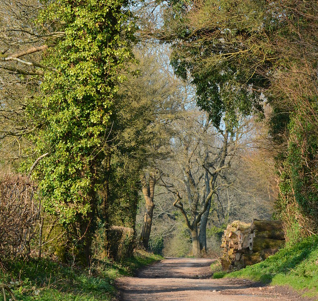
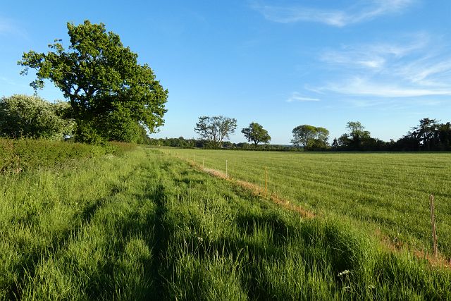
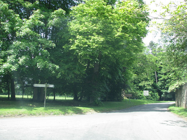
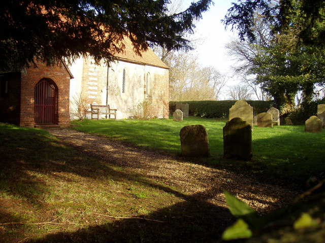
Bartlettsdown Plantation, located in Hampshire, England, is a picturesque woodland area covering approximately 100 acres. This beautiful plantation is known for its diverse range of tree species, making it a popular destination for nature enthusiasts and hikers alike.
The woodland is predominantly composed of native British trees such as oak, beech, and birch, which create a rich and vibrant canopy throughout the area. These trees provide a habitat for a wide variety of wildlife, including birds, squirrels, and small mammals.
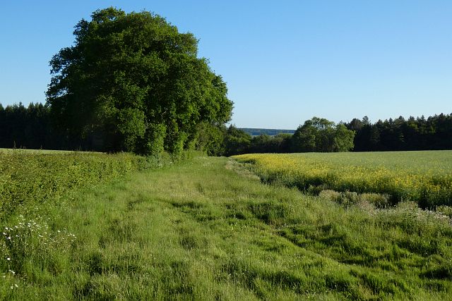
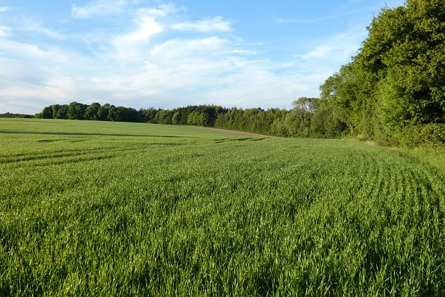
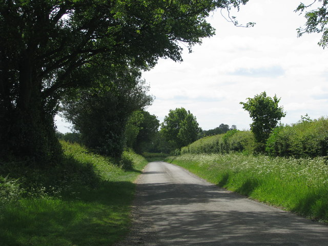
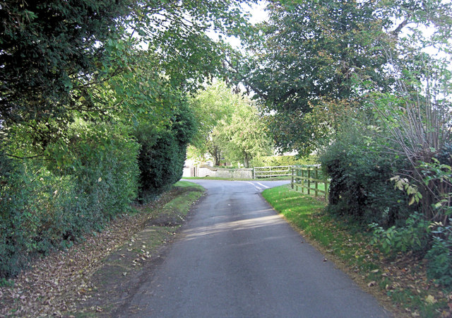
As visitors explore the plantation, they will come across well-maintained trails that wind through the forest, offering stunning views of the surrounding countryside. The trails are suitable for all levels of fitness and provide a peaceful escape from the hustle and bustle of everyday life.
One of the highlights of Bartlettsdown Plantation is the abundance of wildflowers that bloom in the spring and summer months. Bluebells, primroses, and foxgloves can be found scattered throughout the woodland, creating a colorful and enchanting atmosphere.
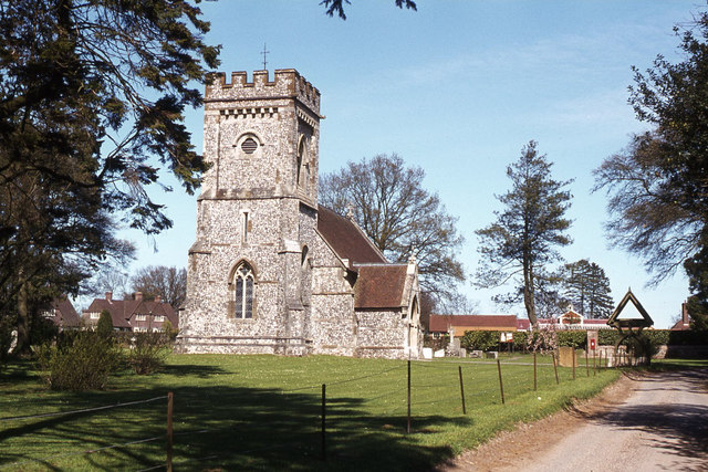
For those interested in history, Bartlettsdown Plantation has a fascinating past. It was once part of a larger estate and has been managed by local authorities for many years. The plantation has been carefully preserved, and efforts have been made to maintain its natural beauty while providing a safe and enjoyable experience for visitors.
Overall, Bartlettsdown Plantation is a hidden gem in Hampshire, offering a tranquil and immersive woodland experience. Whether it's a leisurely stroll or an adventurous hike, this plantation has something to offer everyone who appreciates the beauty of nature.
If you have any feedback on the listing, please let us know in the comments section below.
Bartlettsdown Plantation Images
Images are sourced within 2km of 51.313827/-1.4332545 or Grid Reference SU3957. Thanks to Geograph Open Source API. All images are credited.


Bartlettsdown Plantation is located at Grid Ref: SU3957 (Lat: 51.313827, Lng: -1.4332545)
Administrative County: Hampshire
District: Test Valley
Police Authority: Hampshire
What 3 Words
///drifter.albums.downturn. Near Highclere, Hampshire
Related Wikis
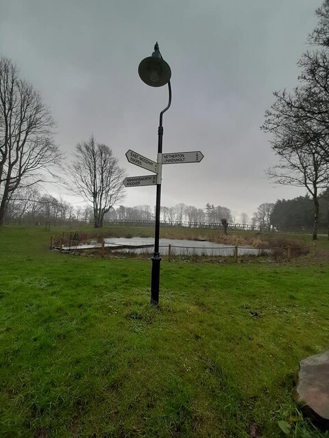
Faccombe
Faccombe is a village and civil parish in Hampshire, England. The village lies on the Hampshire-Berkshire border and is situated on the North Downs. Its...
Sidley Wood
Sidley Wood is a 11.7-hectare (29-acre) biological Site of Special Scientific Interest north of Andover in Hampshire.This south-facing secondary wood on...

Netherton, Hampshire
Netherton is a hamlet in northwest Hampshire, England. According to the Post Office the population of the 2011 Census was included in the civil parish...
Ashmansworth
Ashmansworth is a village and civil parish in the Basingstoke and Deane district of the English county of Hampshire. == Geography == The village is about...

Pilot Hill, Hampshire
Pilot Hill is the highest summit in Hampshire, England, with a maximum elevation of 286 m (938 ft). It lies around 2 miles (3.2 km) to the south-east of...

Hog's Hole
Hog's Hole is a 23.7-hectare (59-acre) biological Site of Special Scientific Interest in the civil parish of Combe in the English county of Berkshire....
Hambledon Rural District
Hambledon Rural District was a local government district that existed in south-west Surrey in England from 1894 until 1974. Its headquarters were in Guildford...

Crux Easton
Crux Easton is a village and former civil parish, now in the parish of Ashmansworth, in the Basingstoke and Deane district of Hampshire, England, about...
Have you been to Bartlettsdown Plantation?
Leave your review of Bartlettsdown Plantation below (or comments, questions and feedback).