Horse Carr Wood
Wood, Forest in Yorkshire
England
Horse Carr Wood

Horse Carr Wood is a picturesque woodland located in Yorkshire, England. Situated near the village of Carr, it covers an area of approximately 250 acres. The wood is part of the larger forested area that stretches across the region and is known for its natural beauty and rich biodiversity.
The wood is predominantly made up of deciduous trees, including oak, ash, birch, and beech, which create a vibrant and colorful canopy during the autumn months. The dense vegetation provides a habitat for a variety of wildlife, such as deer, foxes, badgers, and numerous bird species, making it a popular spot for nature enthusiasts and bird watchers.
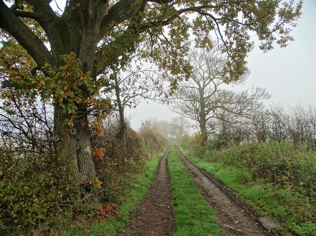
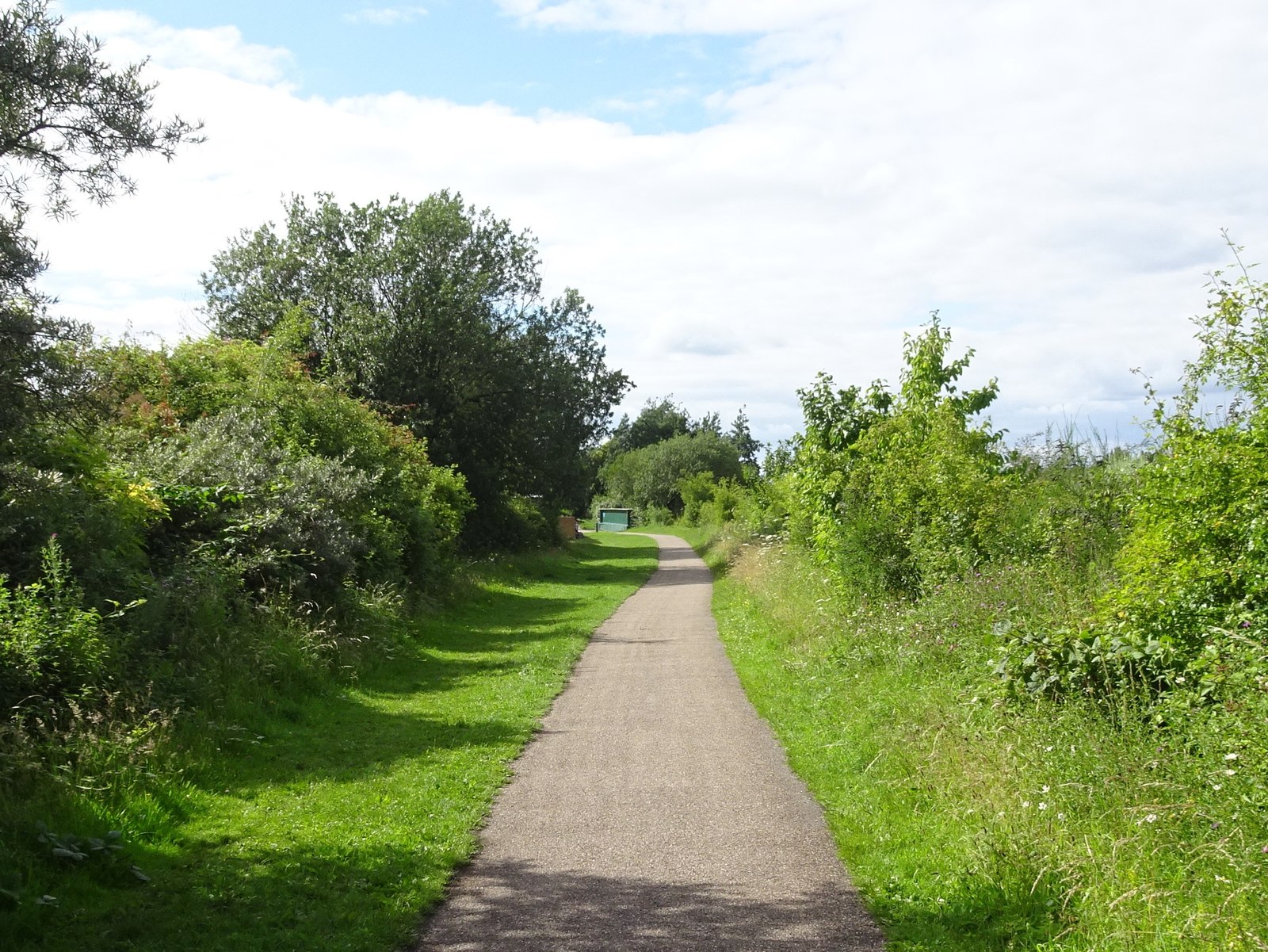
The wood offers several walking trails and paths that wind through its enchanting landscape. These trails cater to different levels of difficulty, allowing visitors to explore the wood at their own pace. Along the way, walkers can enjoy the tranquil atmosphere, spot wildflowers, and listen to the soothing sounds of nature.
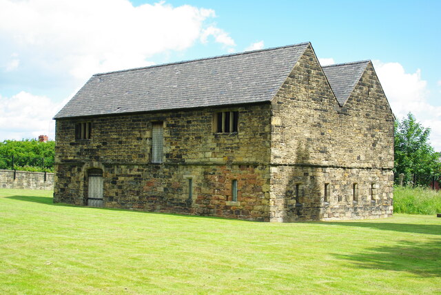
Horse Carr Wood has a rich history dating back centuries. It was once part of a larger hunting ground, and remnants of ancient structures, such as a stone wall and earthworks, can still be seen within the wood. These historical features add a sense of intrigue and charm to the overall experience.
Overall, Horse Carr Wood is a hidden gem in Yorkshire, offering a peaceful retreat from the hustle and bustle of everyday life. Whether it's for a leisurely stroll, wildlife spotting, or simply immersing oneself in nature, the wood provides a wonderful escape for visitors of all ages.
If you have any feedback on the listing, please let us know in the comments section below.
Horse Carr Wood Images
Images are sourced within 2km of 53.551199/-1.4133422 or Grid Reference SE3806. Thanks to Geograph Open Source API. All images are credited.


Horse Carr Wood is located at Grid Ref: SE3806 (Lat: 53.551199, Lng: -1.4133422)
Division: West Riding
Unitary Authority: Barnsley
Police Authority: South Yorkshire
What 3 Words
///intervene.boldest.blushed. Near Cudworth, South Yorkshire
Nearby Locations
Related Wikis

Dearne FM
Greatest Hits Radio South Yorkshire (Barnsley) is an Independent Local Radio station serving Barnsley. The station, originally known as Dearne FM, was...
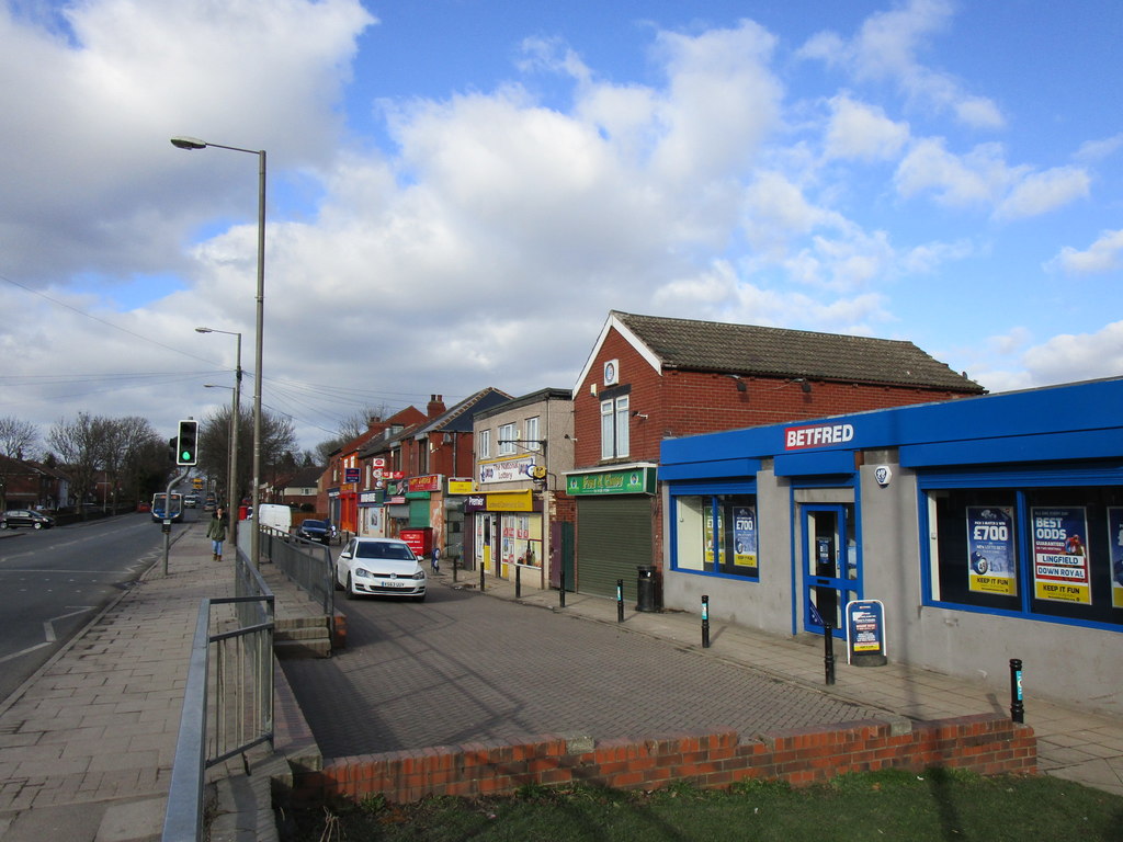
Ardsley, South Yorkshire
Ardsley is a small village approximately 3 miles (5 km) east from Barnsley and forms part of the Metropolitan Borough of Barnsley of South Yorkshire, England...
Barnsley (speedway)
Barnsley were a British speedway team from Barnsley, England, that competed in the English Dirt Track League in the inaugural season of British Speedway...
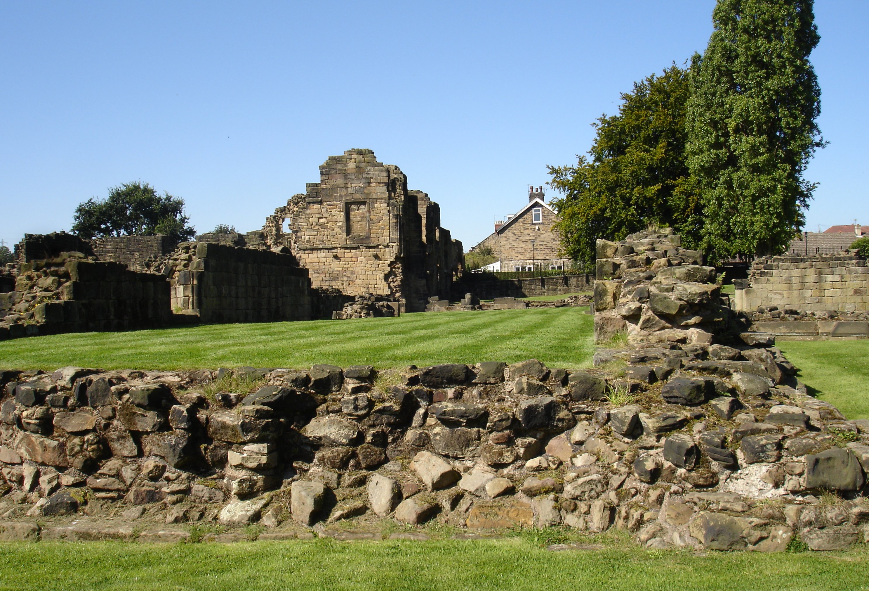
Monk Bretton Priory
Monk Bretton Priory is a ruined medieval priory located in the village of Lundwood, and close to Monk Bretton, South Yorkshire, England. == History... ==
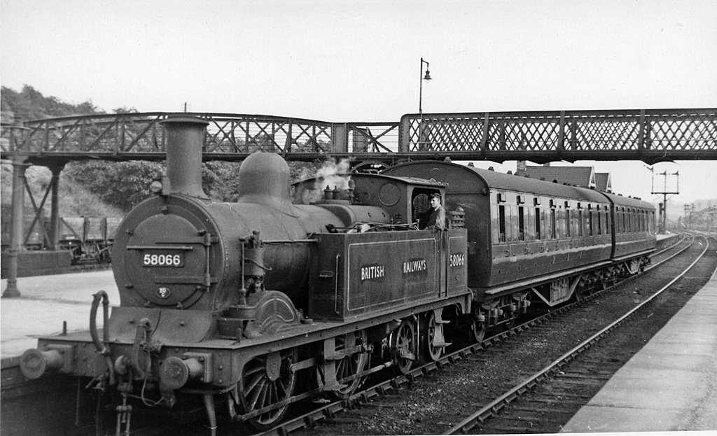
Stairfoot railway station
Stairfoot railway station was a railway station on the South Yorkshire Railway's main line between Mexborough and Barnsley. It was situated between Wombwell...
Stairfoot rail accident
The Stairfoot rail accident was a railway accident that took place at Stairfoot, West Riding of Yorkshire, England. == Details of accident == On 12 December...
Lundwood
Lundwood is a village in Barnsley in South Yorkshire, England. == History == Lying about three miles east-north-east of Barnsley town centre, Lundwood...
Cudworth railway station
Cudworth railway station (English: ) was a railway station that served Cudworth, South Yorkshire, England. == History == The station was built by the North...
Nearby Amenities
Located within 500m of 53.551199,-1.4133422Have you been to Horse Carr Wood?
Leave your review of Horse Carr Wood below (or comments, questions and feedback).