Horse Carr Wood
Wood, Forest in Yorkshire
England
Horse Carr Wood

Horse Carr Wood is a picturesque forest located in Yorkshire, England. It is situated near the small village of Horse Carr, just a few miles outside of the bustling town of Leeds. The wood covers an area of approximately 100 acres and is known for its diverse range of flora and fauna.
The forest is predominantly made up of broadleaf trees, including oak, beech, and birch. These trees create a dense canopy, providing a haven for a variety of wildlife. Visitors to the wood can expect to encounter an array of bird species, such as woodpeckers, owls, and finches, as well as small mammals like squirrels and hedgehogs.
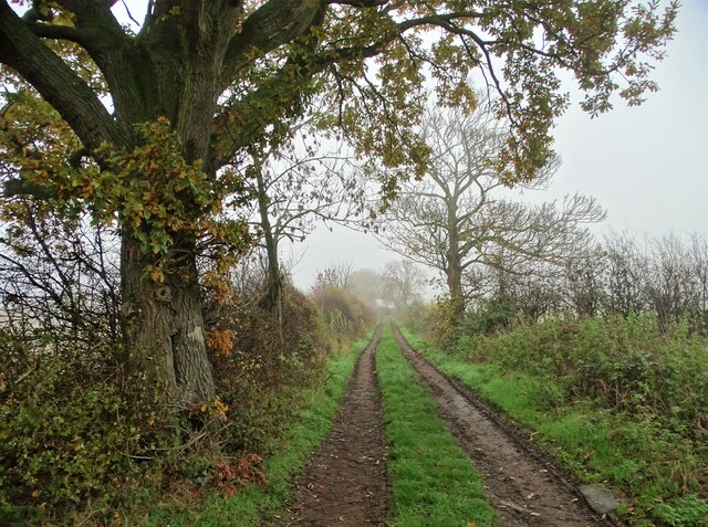
Horse Carr Wood is a popular destination for nature enthusiasts and walkers due to its extensive network of well-maintained footpaths. These trails meander through the forest, offering visitors the opportunity to explore its natural beauty at their own pace. There are also designated picnic areas and benches scattered throughout the wood, allowing visitors to relax and enjoy the tranquil surroundings.
In addition to its natural charm, Horse Carr Wood also has an interesting historical background. The wood is believed to have been used as a hunting ground by the local gentry in the past, and remnants of old hunting lodges can still be found within its boundaries.
Overall, Horse Carr Wood is a captivating destination that offers a peaceful retreat from the nearby urban landscape. Its combination of stunning scenery, diverse wildlife, and rich history make it a must-visit location for nature lovers and history enthusiasts alike.
If you have any feedback on the listing, please let us know in the comments section below.
Horse Carr Wood Images
Images are sourced within 2km of 53.554014/-1.4155826 or Grid Reference SE3806. Thanks to Geograph Open Source API. All images are credited.


Horse Carr Wood is located at Grid Ref: SE3806 (Lat: 53.554014, Lng: -1.4155826)
Division: West Riding
Unitary Authority: Barnsley
Police Authority: South Yorkshire
What 3 Words
///hamsters.quitter.foam. Near Cudworth, South Yorkshire
Nearby Locations
Related Wikis

Dearne FM
Greatest Hits Radio South Yorkshire (Barnsley) is an Independent Local Radio station serving Barnsley. The station, originally known as Dearne FM, was...
Ardsley, South Yorkshire
Ardsley is a small village approximately 3 miles (5 km) east from Barnsley and forms part of the Metropolitan Borough of Barnsley of South Yorkshire, England...
Barnsley (speedway)
Barnsley were a British speedway team from Barnsley, England, that competed in the English Dirt Track League in the inaugural season of British Speedway...
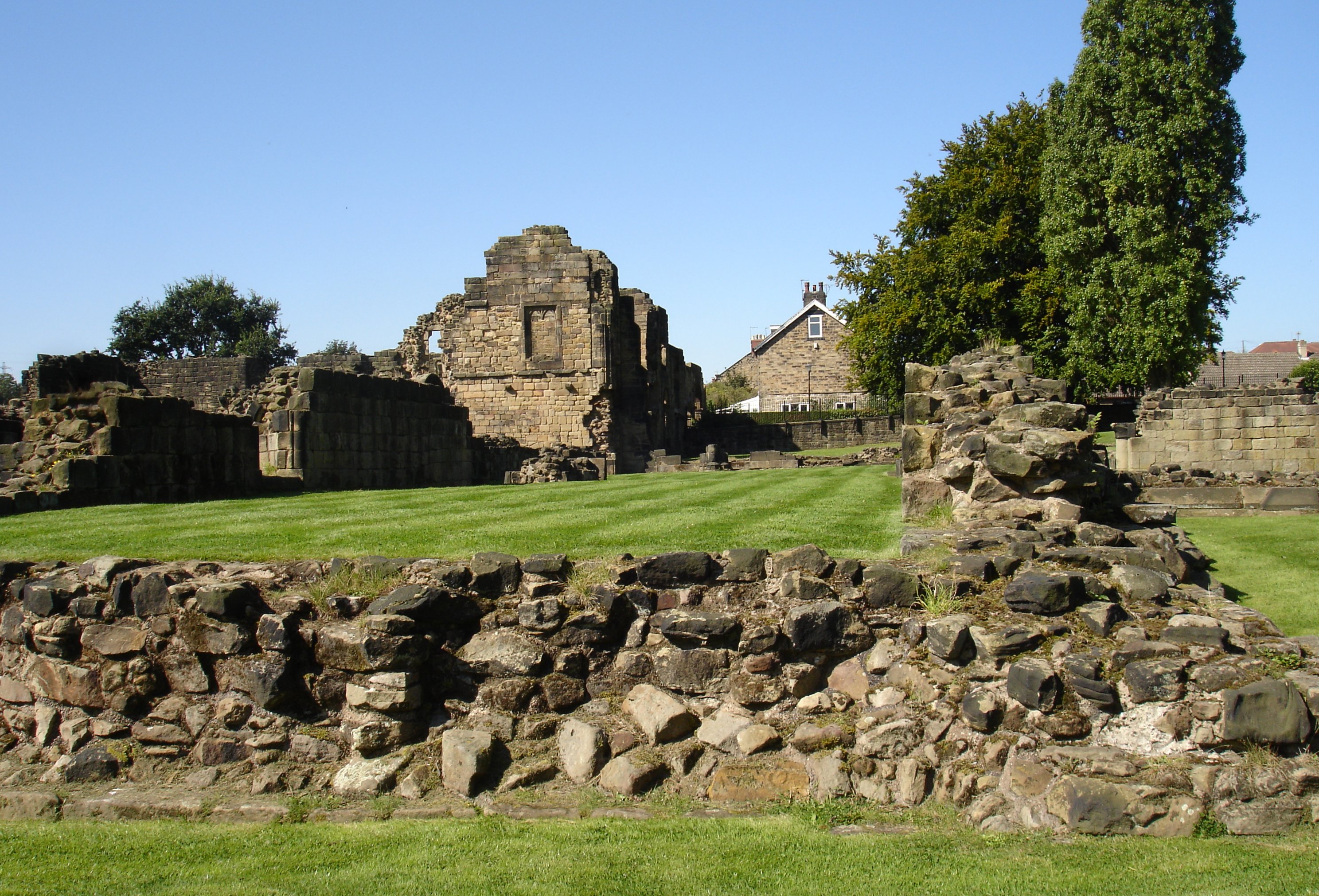
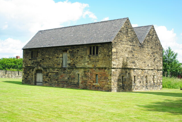
Monk Bretton Priory
Monk Bretton Priory is a ruined medieval priory located in the village of Lundwood, and close to Monk Bretton, South Yorkshire, England. == History... ==
Nearby Amenities
Located within 500m of 53.554014,-1.4155826Have you been to Horse Carr Wood?
Leave your review of Horse Carr Wood below (or comments, questions and feedback).