Gas Yard Wood
Wood, Forest in Derbyshire Erewash
England
Gas Yard Wood
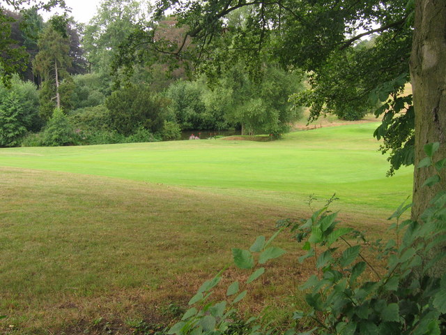
Gas Yard Wood is a small woodland located in Derbyshire, England. It is situated in the southern part of the county, near the town of Matlock. The wood covers an area of approximately 10 hectares and is surrounded by agricultural fields and meadows.
The woodland is predominantly made up of deciduous trees such as oak, beech, and birch. These trees provide a dense canopy, creating a shaded and tranquil environment. The forest floor is covered in a thick layer of leaf litter, which supports a diverse range of flora and fauna.
Gas Yard Wood is known for its rich biodiversity. It is home to a variety of bird species, including woodpeckers, thrushes, and owls. Small mammals such as squirrels, rabbits, and foxes can also be found within the wood. In addition, the woodland is a haven for insects and invertebrates, with numerous species of butterflies, beetles, and spiders inhabiting the area.
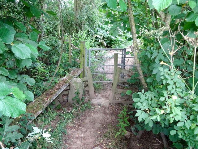
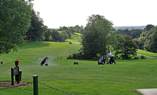
The wood is a popular destination for nature lovers and walkers, with several trails winding through the trees. These trails offer visitors the opportunity to explore the woodland and observe its wildlife up close. The peaceful atmosphere and scenic beauty of Gas Yard Wood make it an ideal spot for picnics and leisurely strolls.
Overall, Gas Yard Wood is a natural gem in the heart of Derbyshire. Its diverse ecosystem and picturesque surroundings make it a must-visit location for those seeking a peaceful retreat in nature.
If you have any feedback on the listing, please let us know in the comments section below.
Gas Yard Wood Images
Images are sourced within 2km of 52.955888/-1.4221415 or Grid Reference SK3839. Thanks to Geograph Open Source API. All images are credited.


Gas Yard Wood is located at Grid Ref: SK3839 (Lat: 52.955888, Lng: -1.4221415)
Administrative County: Derbyshire
District: Erewash
Police Authority: Derbyshire
What 3 Words
///payer.spike.chef. Near Little Eaton, Derbyshire
Nearby Locations
Related Wikis

Morley, Derbyshire
Morley is a village and civil parish within the Borough of Erewash in Derbyshire, England. It is on the eastern side of Morley Moor, with Morley Smithy...

Oakwood, Derby
Oakwood is a modern housing estate in Derby, Derbyshire, England that was built mainly in the 1980s and 1990s. At the time of construction, it was one...

Mid Derbyshire (UK Parliament constituency)
Mid Derbyshire is a constituency represented in the House of Commons of the UK Parliament since its 2010 creation by Pauline Latham, a Conservative....

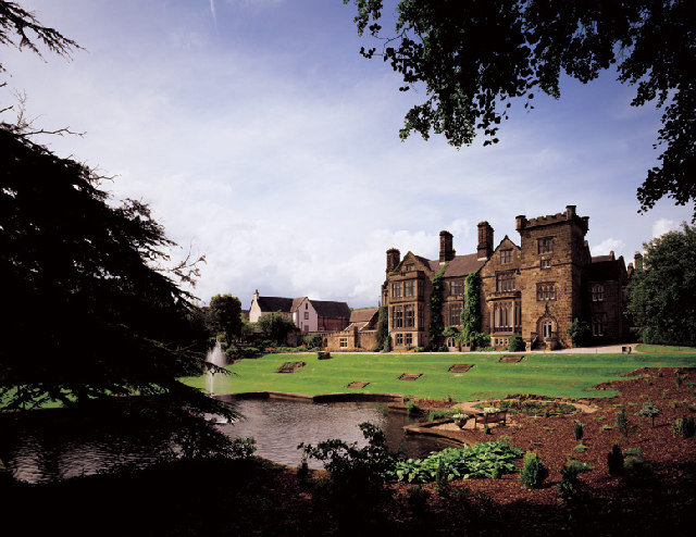
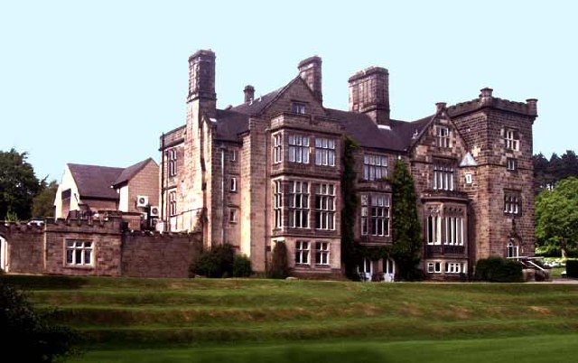
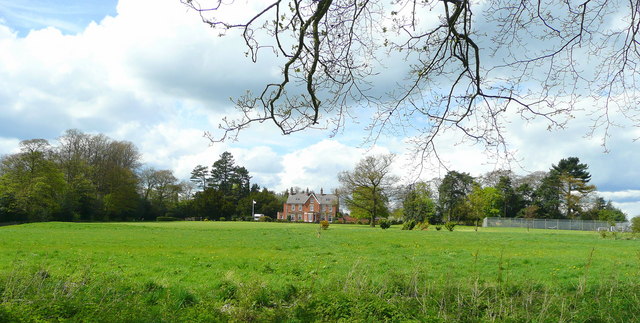
Breadsall Priory
Breadsall Priory is a former Augustinian priory in Derbyshire, situated around two kilometres north of Breadsall, and two kilometres east of Little Eaton...

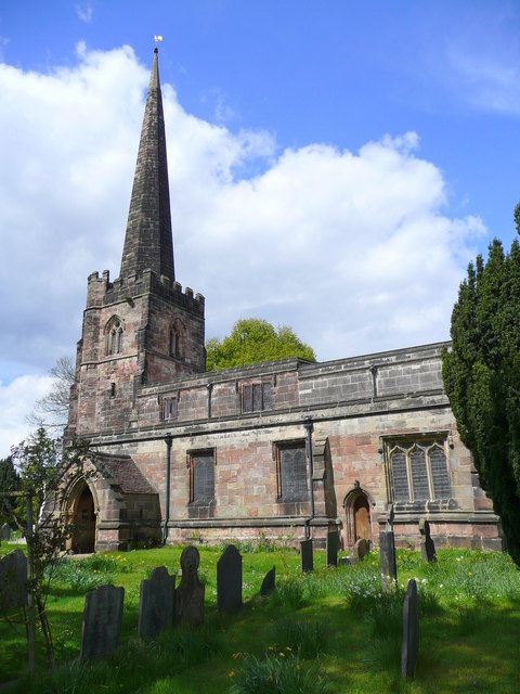
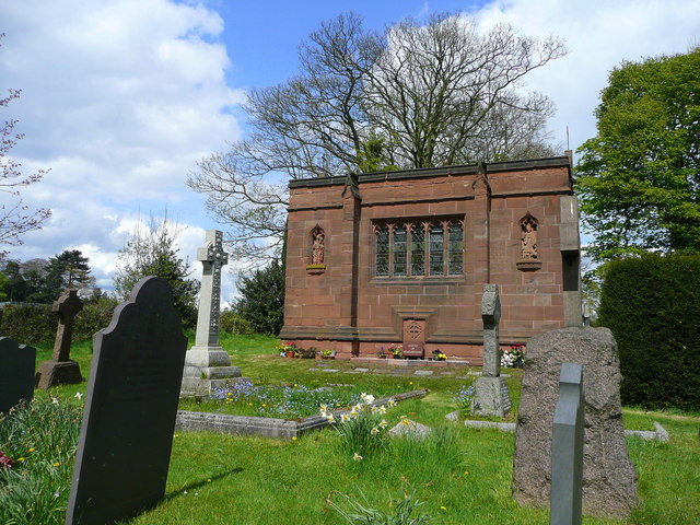
All Saints' Church, Breadsall
All Saints' Church, Breadsall is a Grade I listed parish church in the Church of England in Breadsall, Derbyshire. == History == The church dates from...

Breadsall
Breadsall is a village and civil parish in the Borough of Erewash in Derbyshire, England. The population of the village at the 2021 census was 792 Breadsall...

Breadsall railway station
Breadsall railway station was a former railway station in Breadsall, Derbyshire. It was opened by the Great Northern Railway (Great Britain) on its Derbyshire...
Da Vinci Academy
Da Vinci Academy is a co-educational secondary school located in Derby, Derbyshire, England.The school originally opened in 1988 as High View Community...
Nearby Amenities
Located within 500m of 52.955888,-1.4221415Have you been to Gas Yard Wood?
Leave your review of Gas Yard Wood below (or comments, questions and feedback).