Chescoombe Clump
Wood, Forest in Oxfordshire West Oxfordshire
England
Chescoombe Clump
Chescoombe Clump is a picturesque woodland located in Oxfordshire, England. Situated near the village of Chescoombe, the clump is a popular destination for nature enthusiasts and hikers looking to explore the region's natural beauty.
Covering an area of approximately 10 acres, Chescoombe Clump is a dense forest characterized by a variety of tree species. The clump is primarily composed of native British trees such as oak, beech, and ash, which provide a rich habitat for local wildlife.
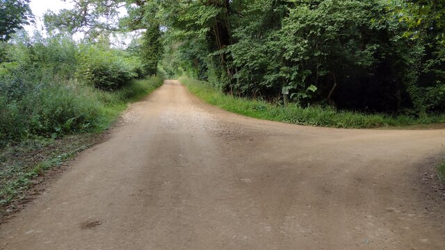
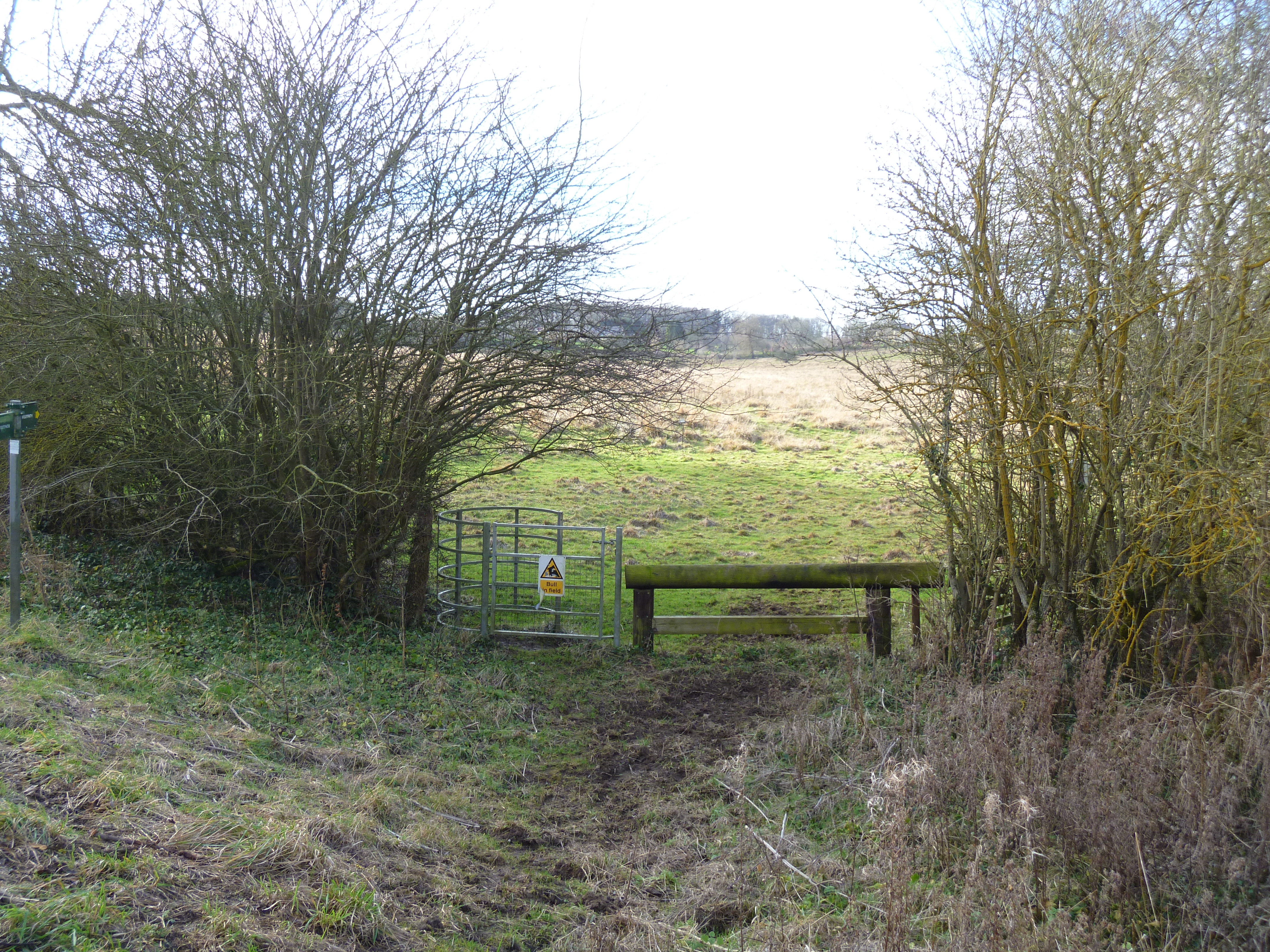
The woodland is crisscrossed by a network of walking trails, allowing visitors to immerse themselves in the tranquility of nature. As they wander through the forest, visitors can enjoy the peaceful ambiance and admire the vibrant colors of the changing seasons. In spring, the clump comes alive with a carpet of bluebells, creating a breathtaking spectacle.
Chescoombe Clump is also home to a diverse array of wildlife. Birds such as woodpeckers, owls, and various songbirds can be spotted among the trees, while small mammals like squirrels and hedgehogs scurry through the undergrowth. The clump is an important habitat for these creatures, providing shelter and food sources.
The woodland is maintained by local conservation groups, who work tirelessly to preserve its natural beauty and protect the delicate ecosystem. Visitors are encouraged to respect the environment and follow designated paths to minimize disturbances to the wildlife.
Overall, Chescoombe Clump offers a tranquil retreat for nature lovers, providing an opportunity to reconnect with the natural world and enjoy the wonders of an Oxfordshire woodland.
If you have any feedback on the listing, please let us know in the comments section below.
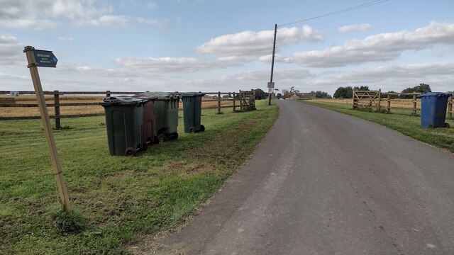
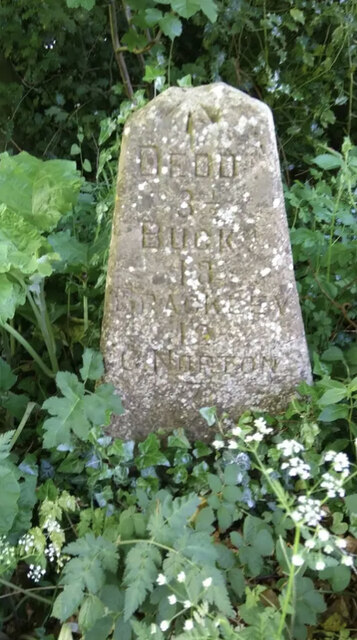
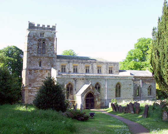
Chescoombe Clump Images
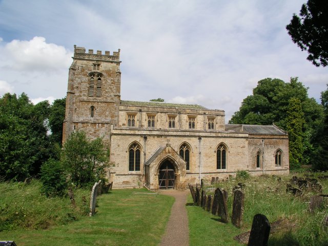
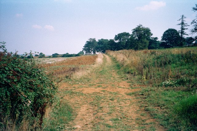
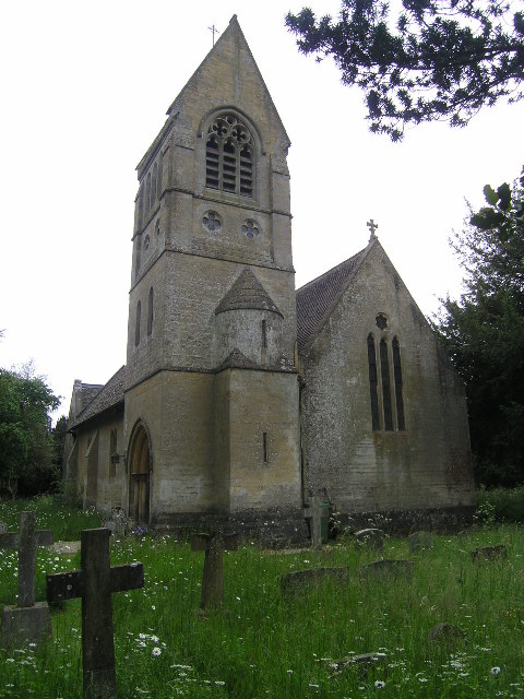
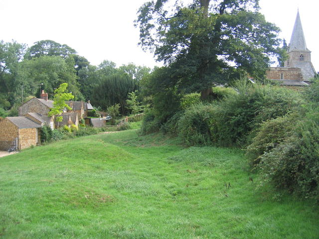
Images are sourced within 2km of 51.969987/-1.4367075 or Grid Reference SP3830. Thanks to Geograph Open Source API. All images are credited.


Chescoombe Clump is located at Grid Ref: SP3830 (Lat: 51.969987, Lng: -1.4367075)
Administrative County: Oxfordshire
District: West Oxfordshire
Police Authority: Thames Valley
What 3 Words
///mealtime.gardens.hunt. Near Hook Norton, Oxfordshire
Nearby Locations
Related Wikis

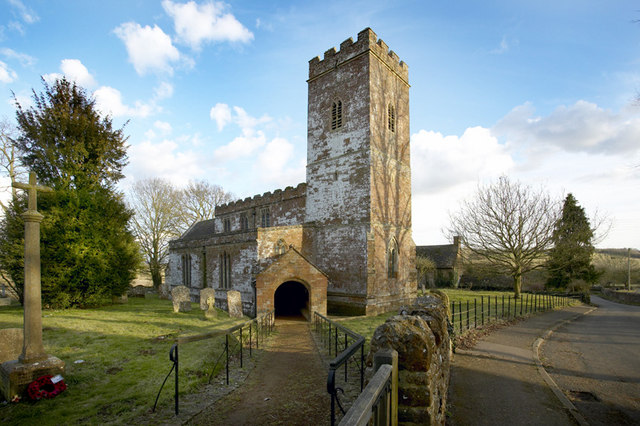
Great Tew
Great Tew is an English village and civil parish in Oxfordshire, about 5 miles (8 km) north-east of Chipping Norton and 8 miles (13 km) south-west of Banbury...
Little Tew
Little Tew is an English village and civil parish about 4+1⁄2 miles (7 km) northeast of Chipping Norton and 8+1⁄2 miles (14 km) southwest of Banbury in...
Swerford Castle
Swerford Castle was a medieval castle in the village of Swerford, Oxfordshire, England. == History == Swerford Castle was built in a motte and bailey design...

Swerford
Swerford is a village and civil parish on the River Swere in the Cotswold Hills in Oxfordshire, England. It is about 4 miles (6.4 km) northeast of Chipping...
Little Tew Meadows
Little Tew Meadows is a 40-hectare (99-acre) biological Site of Special Scientific Interest east of Chipping Norton in Oxfordshire.This site is composed...
Wigginton, Oxfordshire
Wigginton is a village and civil parish about 6 miles (10 km) southwest of Banbury in Oxfordshire. The village is beside the River Swere, which forms the...
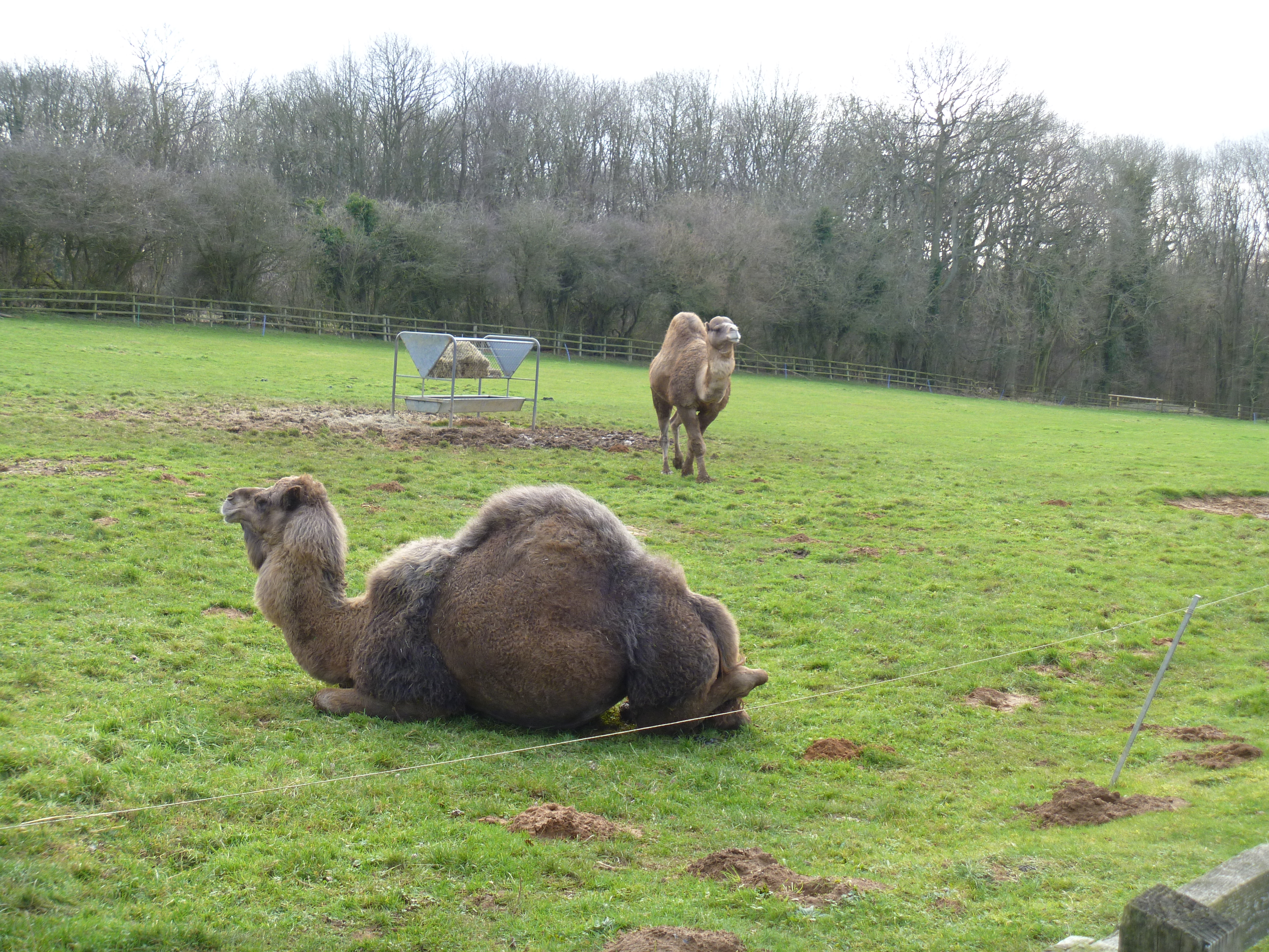
Heythrop Zoological Gardens
Heythrop Zoological Gardens is a private zoo and animal training centre in Heythrop, near Chipping Norton, Oxfordshire. The zoo has the largest private...

Hook Norton Cutting and Banks
Hook Norton Cutting and Banks is a 6.7-hectare (17-acre) biological and geological Site of Special Scientific Interest south of Hook Norton in Oxfordshire...
Nearby Amenities
Located within 500m of 51.969987,-1.4367075Have you been to Chescoombe Clump?
Leave your review of Chescoombe Clump below (or comments, questions and feedback).