Coach Road Plantation
Wood, Forest in Leicestershire North West Leicestershire
England
Coach Road Plantation
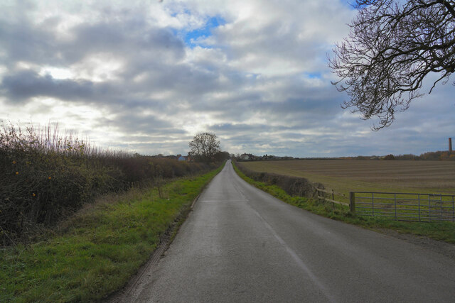
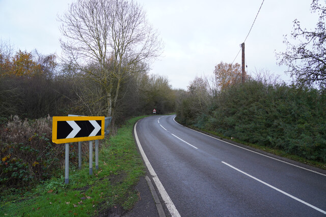
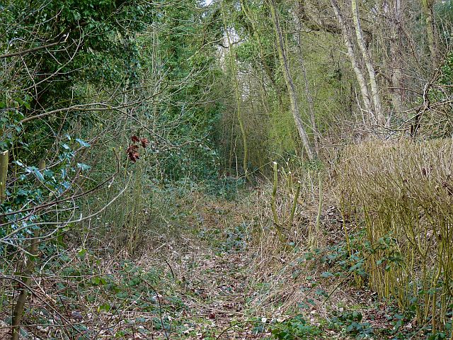
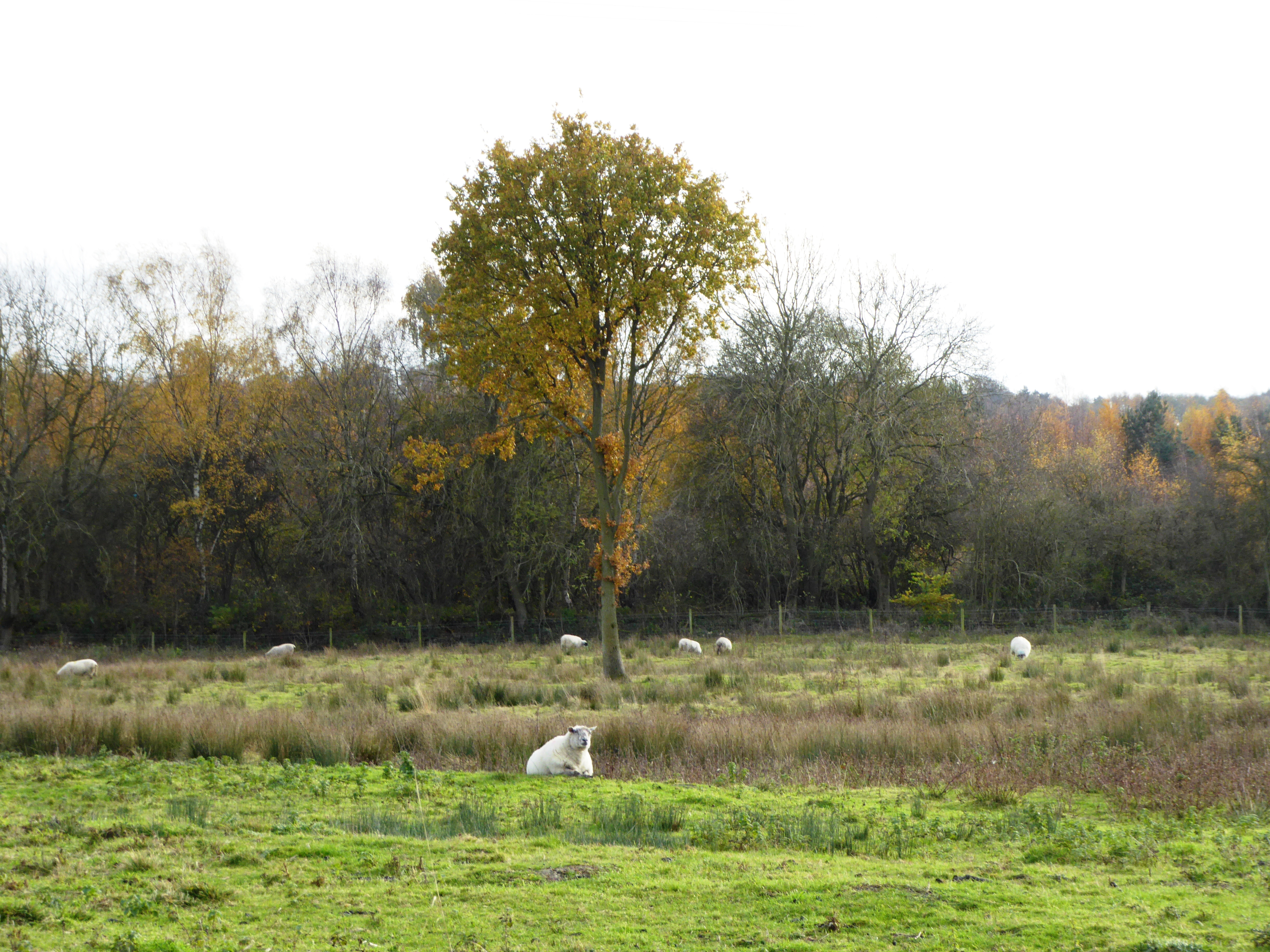
Coach Road Plantation is a picturesque woodland area located in Leicestershire, England. Covering a total area of approximately 10 acres, it is a popular destination for nature lovers and outdoor enthusiasts. The plantation is situated along Coach Road, which runs through the heart of the woodland, providing easy access for visitors.
The woodland is mainly composed of deciduous trees such as oak, beech, and birch, which create a dense canopy, allowing only dappled sunlight to filter through to the forest floor. This creates a tranquil and peaceful atmosphere, making it an ideal place for a leisurely walk or a quiet picnic.
The plantation is home to a diverse range of wildlife, including various bird species, squirrels, and rabbits. Nature enthusiasts can often spot woodpeckers, nuthatches, and tawny owls in the trees or catch a glimpse of a deer grazing in the undergrowth.
A network of well-maintained footpaths and trails meander through the woodland, providing visitors with the opportunity to explore the plantation at their own pace. These paths lead to hidden clearings, where visitors can relax and take in the beauty of the surroundings.
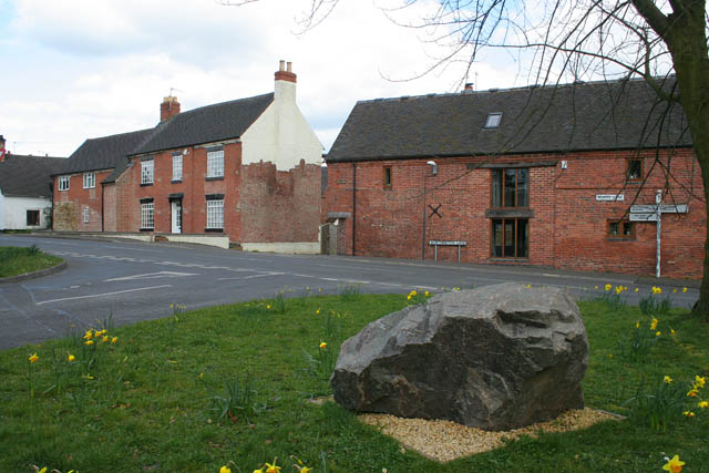
Coach Road Plantation is a popular spot for local residents and visitors alike, offering a peaceful escape from the hustle and bustle of everyday life. Whether it's a leisurely stroll, a bird-watching expedition, or simply a chance to reconnect with nature, this woodland sanctuary has something to offer everyone.
If you have any feedback on the listing, please let us know in the comments section below.
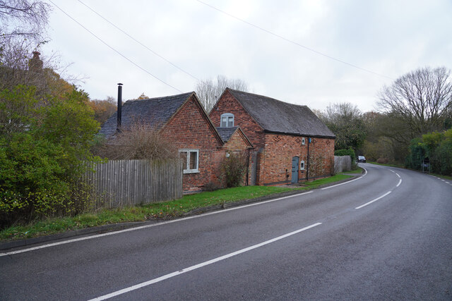
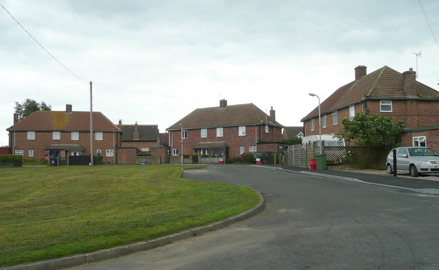
Coach Road Plantation Images
Images are sourced within 2km of 52.778148/-1.4276698 or Grid Reference SK3820. Thanks to Geograph Open Source API. All images are credited.


Coach Road Plantation is located at Grid Ref: SK3820 (Lat: 52.778148, Lng: -1.4276698)
Administrative County: Leicestershire
District: North West Leicestershire
Police Authority: Leicestershire
What 3 Words
///relishes.communal.repeated. Near Ashby de la Zouch, Leicestershire
Nearby Locations
Related Wikis

Lount
Lount is a hamlet near Ashby de la Zouch in north-west Leicestershire, England. It has a population of 50 (approx). At the 2011 census the population...

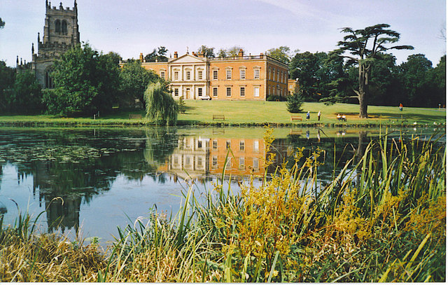
Staunton Harold Hall
Staunton Harold Hall is a large 18th-century Grade I listed country house built by the Earls Ferrers, situated within the 2,000-acre (810 ha) Staunton...
Staunton Harold
Staunton Harold is a civil parish in North West Leicestershire about 3 miles (5 km) north of Ashby-de-la-Zouch. The parish is on the county boundary with...
Lount Meadows
Lount Meadows is a 8.5 hectares (21 acres) biological Site of Special Scientific Interest south of Lount in Leicestershire, England.This slightly acidic...

Dimminsdale
Dimminsdale is a 37 hectare geological biological and Site of Special Scientific Interest partly in Derbyshire and partly in Leicestershire. It is located...
Newbold Coleorton
Newbold otherwise Newbold Coleorton is a large hamlet in the parish of Worthington, Leicestershire, England. It is situated in the North West Leicestershire...

Worthington, Leicestershire
Worthington is a village and civil parish in North West Leicestershire, England, about 4 miles (6.4 km) north of the town of Coalville and a similar distance...
Worthington railway station
Worthington railway station was a station at Worthington, Leicestershire, England. == History == The station opened on 1 October 1869 when the Midland...
Nearby Amenities
Located within 500m of 52.778148,-1.4276698Have you been to Coach Road Plantation?
Leave your review of Coach Road Plantation below (or comments, questions and feedback).