New Plantation
Wood, Forest in Leicestershire North West Leicestershire
England
New Plantation
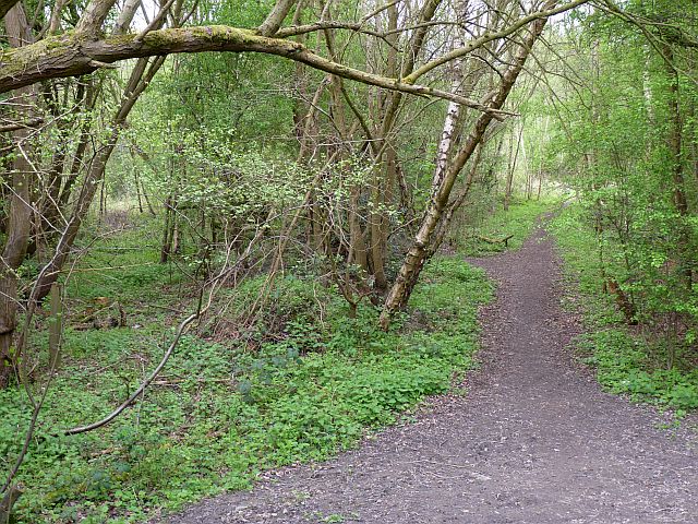
New Plantation is a dense woodland area located in Leicestershire, England. Situated in the heart of the county, it covers a vast area of approximately 500 acres. The plantation is known for its large variety of trees, making it a significant contributor to the local ecosystem.
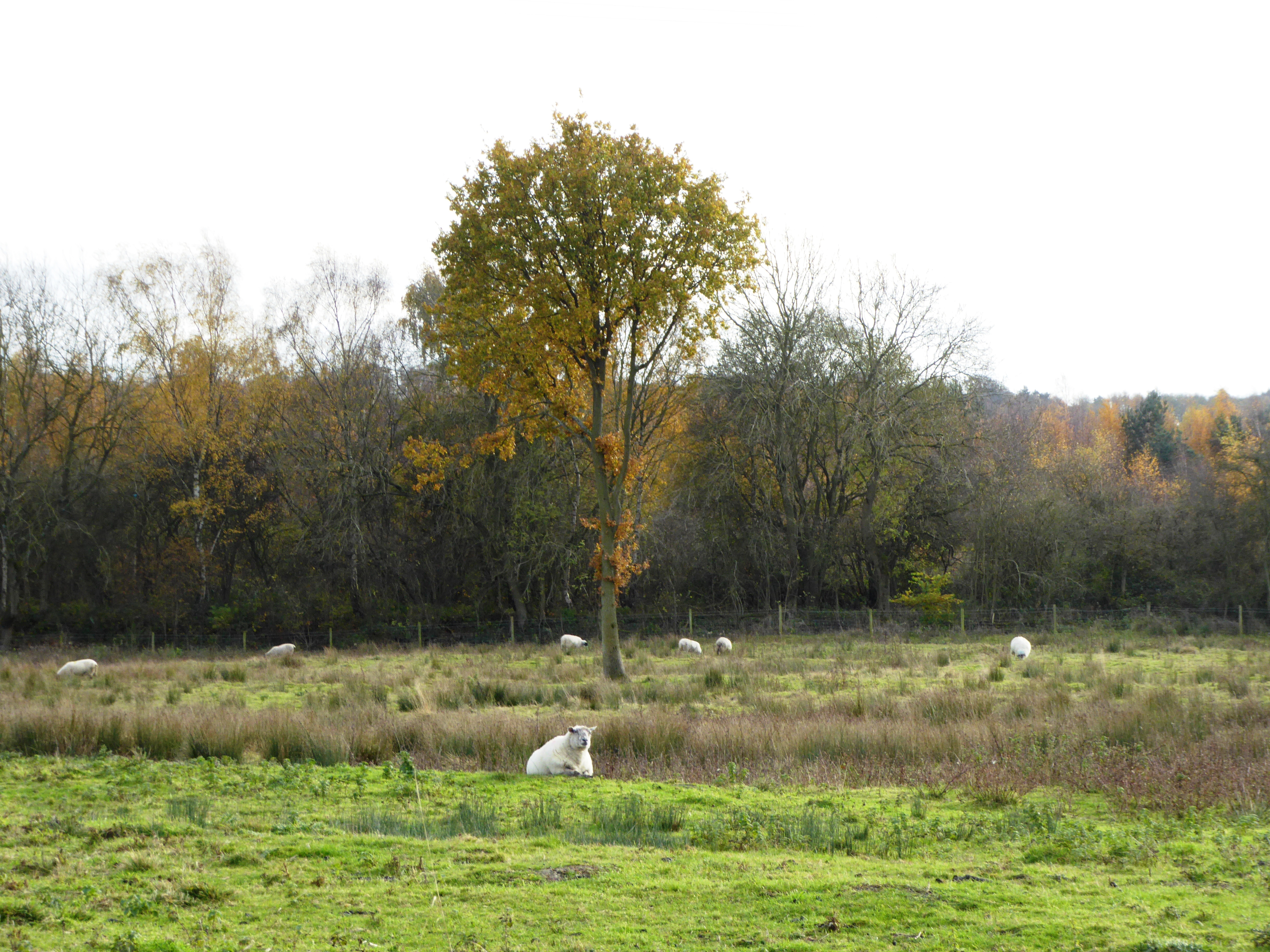
The woodland predominantly consists of native British tree species, including oak, birch, beech, and ash. These trees create a rich and diverse habitat, supporting numerous wildlife species such as deer, foxes, badgers, and a wide range of bird species. The dense canopy and undergrowth provide shelter, nesting sites, and food sources for these animals.
New Plantation is a popular destination for nature enthusiasts and outdoor enthusiasts alike. It offers a network of well-maintained walking trails, allowing visitors to explore the woodland and enjoy its natural beauty. The trails vary in difficulty, catering to both beginners and experienced hikers.
In addition to its recreational value, the woodland plays a crucial role in carbon sequestration, helping to mitigate the effects of climate change. The trees in New Plantation absorb carbon dioxide and release oxygen, contributing to cleaner air and a healthier environment.
The plantation is managed by the local authorities, who ensure the preservation of its natural habitat and biodiversity. Regular maintenance work, such as tree planting and removal of invasive plant species, is carried out to maintain the health and balance of the woodland ecosystem.
Overall, New Plantation in Leicestershire is a treasured natural resource, providing a haven for wildlife, recreational opportunities for visitors, and contributing to the overall wellbeing of the environment.
If you have any feedback on the listing, please let us know in the comments section below.
New Plantation Images
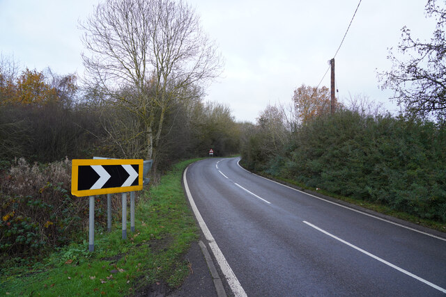
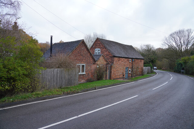
Images are sourced within 2km of 52.778609/-1.4375667 or Grid Reference SK3820. Thanks to Geograph Open Source API. All images are credited.


New Plantation is located at Grid Ref: SK3820 (Lat: 52.778609, Lng: -1.4375667)
Administrative County: Leicestershire
District: North West Leicestershire
Police Authority: Leicestershire
What 3 Words
///laptop.taped.outbound. Near Ashby de la Zouch, Leicestershire
Nearby Locations
Related Wikis
Staunton Harold
Staunton Harold is a civil parish in North West Leicestershire about 3 miles (5 km) north of Ashby-de-la-Zouch. The parish is on the county boundary with...

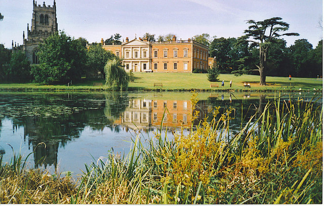
Staunton Harold Hall
Staunton Harold Hall is a large 18th-century Grade I listed country house built by the Earls Ferrers, situated within the 2,000-acre (810 ha) Staunton...

Lount
Lount is a hamlet near Ashby de la Zouch in north-west Leicestershire, England. It has a population of 50 (approx). At the 2011 census the population...
Lount Meadows
Lount Meadows is a 8.5 hectares (21 acres) biological Site of Special Scientific Interest south of Lount in Leicestershire, England. This slightly acidic...
Nearby Amenities
Located within 500m of 52.778609,-1.4375667Have you been to New Plantation?
Leave your review of New Plantation below (or comments, questions and feedback).