Bowers Wood
Wood, Forest in Berkshire Vale of White Horse
England
Bowers Wood
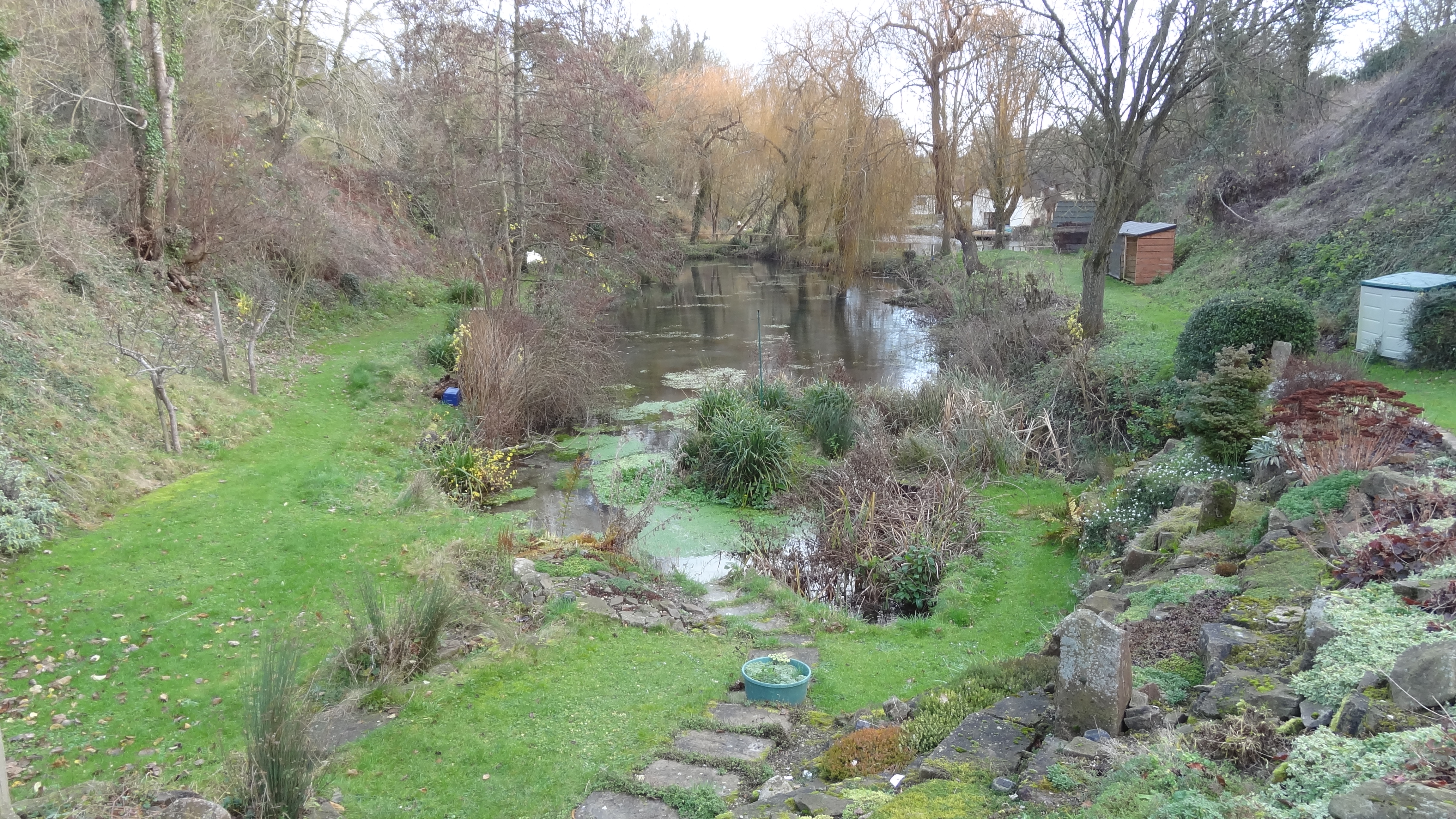
Bowers Wood is a picturesque woodland located in Berkshire, England. It covers an area of approximately 100 acres and is a popular destination for nature lovers and outdoor enthusiasts. The wood is situated near the village of Bowers, which is known for its idyllic countryside and charming rural atmosphere.
Bowers Wood is home to a diverse range of flora and fauna, making it a haven for wildlife. Visitors can expect to see a variety of tree species, including oak, beech, and ash, which create a dense canopy and provide shelter for many woodland creatures. The forest floor is adorned with carpets of bluebells and other wildflowers during the springtime, creating a vibrant and colorful landscape.
The wood offers numerous walking trails and paths for visitors to explore, allowing them to immerse themselves in the natural beauty of the surroundings. These trails range in difficulty, catering to both casual walkers and more experienced hikers. As visitors wander through the wood, they may spot various bird species, such as woodpeckers and owls, as well as small mammals like squirrels and rabbits.
Bowers Wood also boasts a rich history, with evidence of Iron Age settlements and Roman activity in the area. Archaeological finds have been made within the wood, including pottery fragments and tools, providing insights into the past human habitation of the region.
Overall, Bowers Wood is a tranquil and enchanting destination that offers visitors a chance to connect with nature, explore its diverse ecosystem, and appreciate the history and beauty of the Berkshire countryside.
If you have any feedback on the listing, please let us know in the comments section below.
Bowers Wood Images
Images are sourced within 2km of 51.539566/-1.4450915 or Grid Reference SU3882. Thanks to Geograph Open Source API. All images are credited.
Bowers Wood is located at Grid Ref: SU3882 (Lat: 51.539566, Lng: -1.4450915)
Administrative County: Oxfordshire
District: Vale of White Horse
Police Authority: Thames Valley
What 3 Words
///udder.alleyway.unscathed. Near Wantage, Oxfordshire
Nearby Locations
Related Wikis

Segsbury Camp
Segsbury Camp or Segsbury Castle is an Iron Age hillfort on the crest of the Berkshire Downs, near the Ridgeway above Wantage, in the Vale of White Horse...
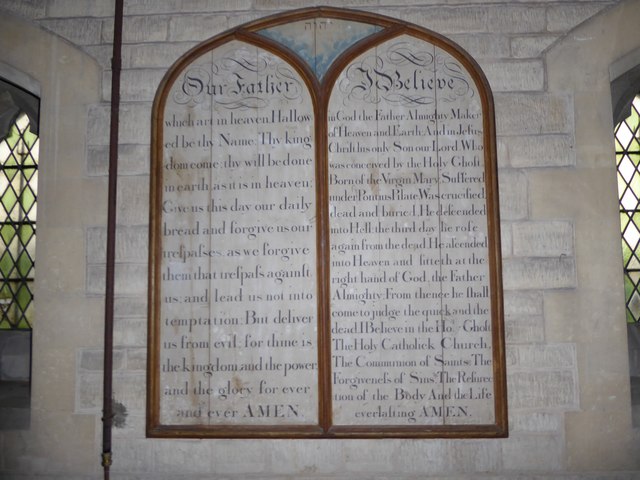
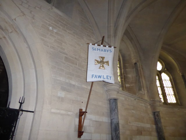
Fawley, Berkshire
Fawley is a village and civil parish in West Berkshire, England. The hub of the village is centred 3.5 miles (5.6 km) east of Lambourn and has a sub-community...

Sheepdrove Organic Farm
Sheepdrove Organic Farm is a farm near Lambourn, West Berkshire, England. The farm gained a public profile when Juliet and Peter Kindersley took the UK...
Letcombe Bassett
Letcombe Bassett is a village and civil parish about 2 miles (3 km) southwest of the market town of Wantage in the Vale of White Horse. It was part of...

Letcombe Valley
Letcombe Valley is a 7.5-hectare (19-acre) nature reserve south of Letcombe Regis in Oxfordshire. It is managed by the Berkshire, Buckinghamshire and Oxfordshire...

Highlands Farm Pit
Highlands Farm Pit is a 0.6-hectare (1.5-acre) geological Site of Special Scientific Interest in Henley-on-Thames in Oxfordshire. It is a Geological Conservation...

Hackpen, Warren & Gramp's Hill Downs
Hackpen, Warren & Gramp's Hill Downs is a 71.4-hectare (176-acre) biological Site of Special Scientific Interest in Letcombe Bassett in Oxfordshire.The...

Letcombe Regis
Letcombe Regis is a village and civil parish in the Vale of White Horse. It was part of Berkshire until the 1974 boundary changes transferred the Vale...
Nearby Amenities
Located within 500m of 51.539566,-1.4450915Have you been to Bowers Wood?
Leave your review of Bowers Wood below (or comments, questions and feedback).