Pinal Wood
Wood, Forest in Berkshire Vale of White Horse
England
Pinal Wood

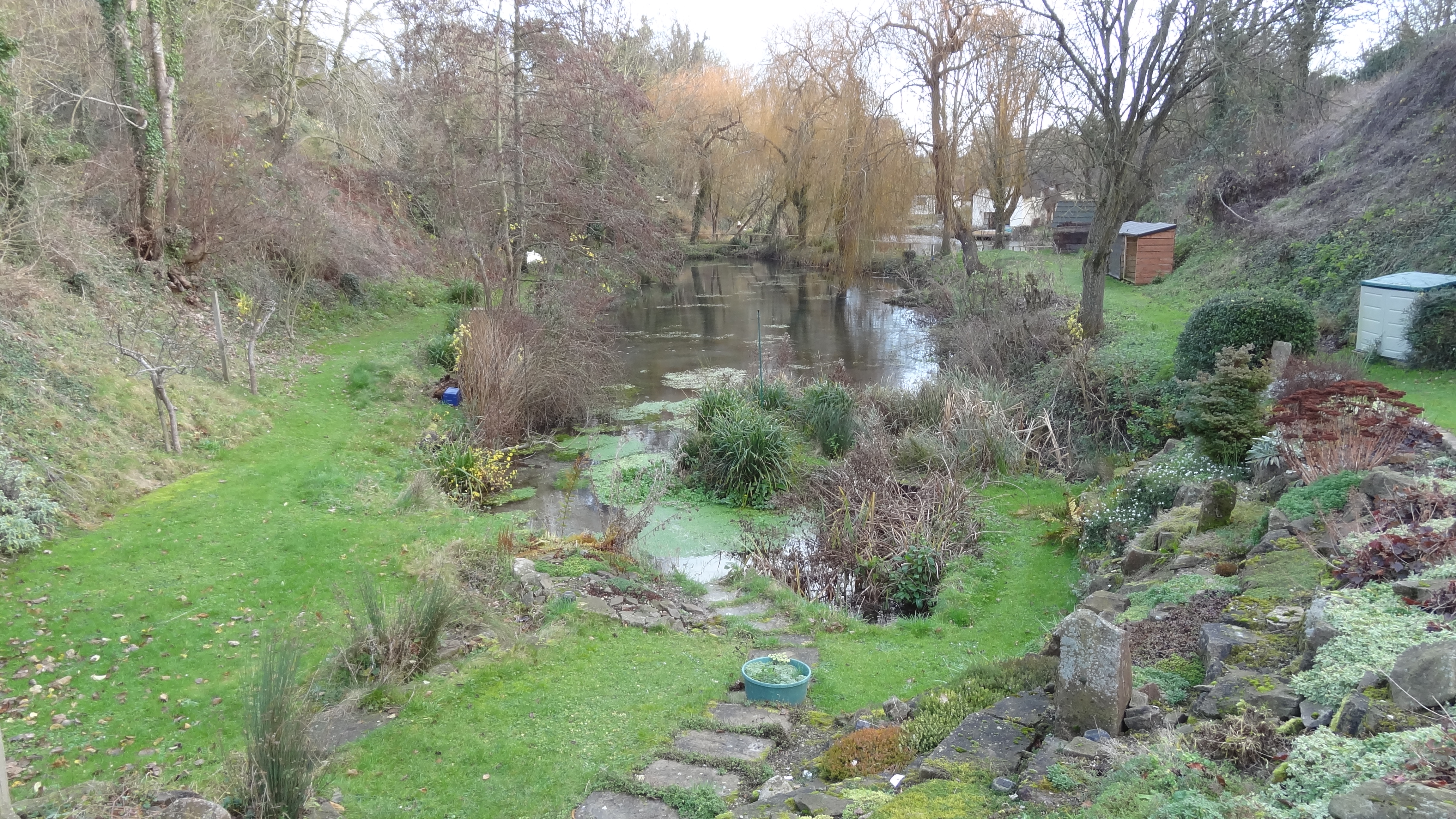
Pinal Wood is a picturesque forest located in the county of Berkshire, England. Covering an area of approximately 1,200 hectares, it is known for its diverse wildlife, scenic beauty, and historical significance.
The wood is predominantly composed of oak and beech trees, with some areas also featuring conifers and other deciduous species. The dense canopy created by these trees provides a cool and shaded environment, making it a popular destination for nature enthusiasts and hikers. The forest floor is covered in a lush carpet of ferns, moss, and wildflowers, adding to its enchanting appeal.
Pinal Wood is home to a wide variety of wildlife, including deer, foxes, badgers, and numerous bird species. The forest's diverse ecosystem also supports a rich insect population, making it an important habitat for many different species.
In addition to its natural beauty, Pinal Wood holds historical significance. It has been documented that the wood has been in existence since at least the 13th century and was once part of a larger royal hunting ground. Today, remnants of ancient earthworks and boundary banks can still be seen, evidence of its past as a royal forest.
Visitors to Pinal Wood can enjoy a range of activities, including walking, cycling, and horse riding, with numerous trails and paths to explore. The forest also has designated picnic areas, allowing visitors to relax and enjoy the peaceful surroundings.
Overall, Pinal Wood in Berkshire offers a tranquil and beautiful natural environment, providing a delightful escape from the hustle and bustle of everyday life.
If you have any feedback on the listing, please let us know in the comments section below.
Pinal Wood Images
Images are sourced within 2km of 51.542232/-1.4517498 or Grid Reference SU3882. Thanks to Geograph Open Source API. All images are credited.


Pinal Wood is located at Grid Ref: SU3882 (Lat: 51.542232, Lng: -1.4517498)
Administrative County: Oxfordshire
District: Vale of White Horse
Police Authority: Thames Valley
What 3 Words
///expel.seatbelt.rush. Near Wantage, Oxfordshire
Nearby Locations
Related Wikis

Segsbury Camp
Segsbury Camp or Segsbury Castle is an Iron Age hillfort on the crest of the Berkshire Downs, near the Ridgeway above Wantage, in the Vale of White Horse...

Sheepdrove Organic Farm
Sheepdrove Organic Farm is a farm near Lambourn, West Berkshire, England. The farm gained a public profile when Juliet and Peter Kindersley took the UK...
Letcombe Bassett
Letcombe Bassett is a village and civil parish about 2 miles (3 km) southwest of the market town of Wantage in the Vale of White Horse. It was part of...
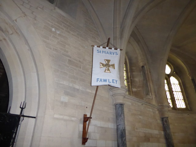
Fawley, Berkshire
Fawley is a village and civil parish in West Berkshire, England. The hub of the village is centred 3.5 miles (5.6 km) east of Lambourn and has a sub-community...

Highlands Farm Pit
Highlands Farm Pit is a 0.6-hectare (1.5-acre) geological Site of Special Scientific Interest in Henley-on-Thames in Oxfordshire. It is a Geological Conservation...

Hackpen, Warren & Gramp's Hill Downs
Hackpen, Warren & Gramp's Hill Downs is a 71.4-hectare (176-acre) biological Site of Special Scientific Interest in Letcombe Bassett in Oxfordshire.The...

Letcombe Valley
Letcombe Valley is a 7.5-hectare (19-acre) nature reserve south of Letcombe Regis in Oxfordshire. It is managed by the Berkshire, Buckinghamshire and Oxfordshire...

Letcombe Regis
Letcombe Regis is a village and civil parish in the Vale of White Horse. It was part of Berkshire until the 1974 boundary changes transferred the Vale...
Nearby Amenities
Located within 500m of 51.542232,-1.4517498Have you been to Pinal Wood?
Leave your review of Pinal Wood below (or comments, questions and feedback).