Honey Hill Wood

Wood, Forest in Leicestershire Hinckley and Bosworth

England

Honey Hill Wood

Small pond by footpath near Hollow Farm By the side of the footpath from the A5 towards Harper's Hill, lies this small pond. In the background is Nuneaton Car Centre, a secondhand car dealers.
Small pond by footpath near Hollow Farm Credit: David P Howard

Honey Hill Wood is a charming forest located in the county of Leicestershire, England. Covering an area of approximately 30 hectares, this woodland is a picturesque natural haven that offers a tranquil escape from the hustle and bustle of daily life.

The wood is predominantly composed of broadleaf trees, such as oak, ash, and beech, which create a dense canopy that provides shade and shelter. These majestic trees are interspersed with occasional conifers, adding a touch of diversity to the landscape. The forest floor is adorned with a rich carpet of ferns, mosses, and wildflowers, creating a vibrant and colorful setting.

Honey Hill Wood is not only visually stunning but also rich in biodiversity. It serves as a habitat for a wide range of wildlife, including birds, mammals, and insects. Visitors may catch a glimpse of deer gracefully wandering through the undergrowth, or hear the melodious songs of various bird species echoing through the trees.

The wood offers a network of well-maintained footpaths, allowing visitors to explore its beauty at their own pace. Walking through the dappled sunlight, visitors can enjoy the peaceful ambiance while breathing in the fresh and invigorating forest air.

Honey Hill Wood is a much-loved destination for nature enthusiasts, hikers, and families seeking a serene and rejuvenating outdoor experience. With its natural beauty, diverse ecosystems, and tranquil atmosphere, it is no wonder that this enchanting woodland is cherished by locals and visitors alike.

If you have any feedback on the listing, please let us know in the comments section below.

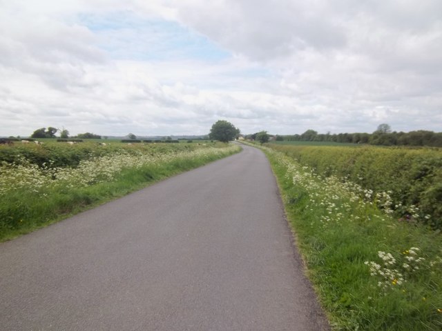
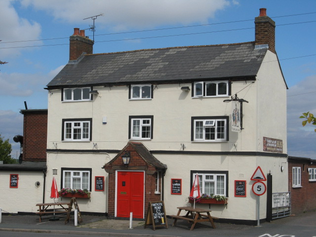
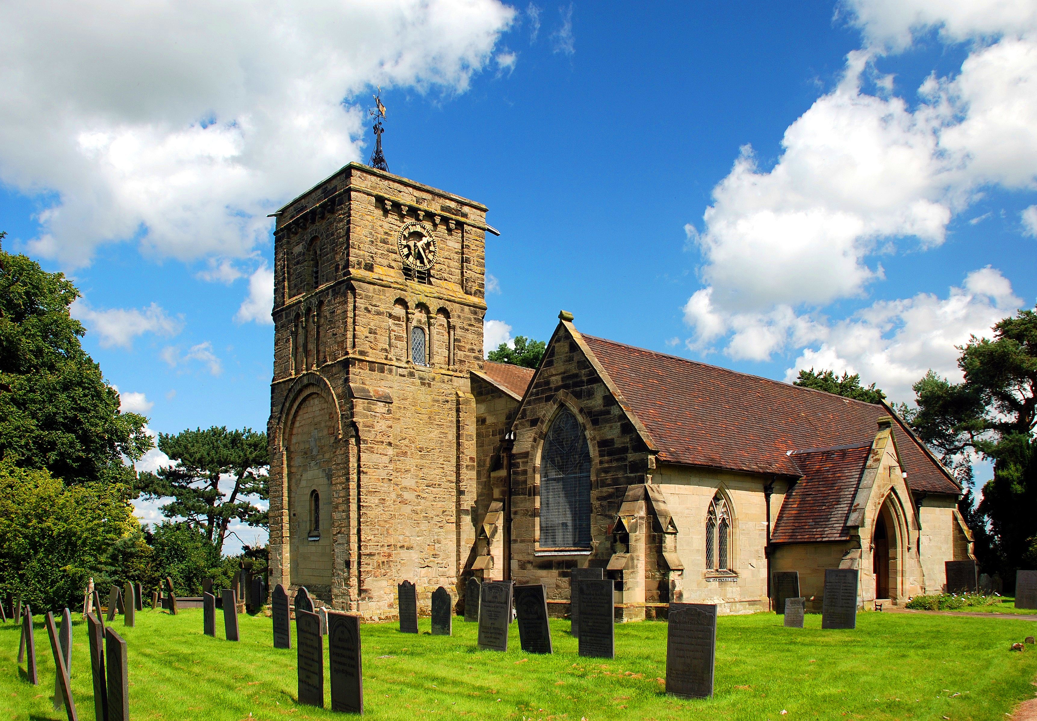
Honey Hill Wood Images

Images are sourced within 2km of 52.559108/-1.4400227 or Grid Reference SP3895. Thanks to Geograph Open Source API. All images are credited.

Small pond by footpath near Hollow Farm By the side of the footpath from the A5 towards Harper's Hill, lies this small pond. In the background is Nuneaton Car Centre, a secondhand car dealers.
Small pond by footpath near Hollow Farm
By the side of the footpath from the A5 towards Harper's Hill, lies this small pond. In the background is Nuneaton Car Centre, a secondhand car dealers.
Tree by the A5 Looking west from the side of the A5, past a solitary tree towards a house on Higham Lane in the distance.
Tree by the A5
Looking west from the side of the A5, past a solitary tree towards a house on Higham Lane in the distance.
Overbrook Grange Mobile Home Park
Across the fields Looking towards Higham on the Hill from Wood Lane.
Across the fields
Looking towards Higham on the Hill from Wood Lane.
Hidden by the trees From Wood Lane, a view across the field towards two bands of trees.  Hidden behind the first band is the trackbed of the dismantled Ashby and Nuneaton Railway, closed in 1971.  Behind the second belt is the vehicle proving ground run by MIRA Ltd on what once was RAF Lindley.
Hidden by the trees
From Wood Lane, a view across the field towards two bands of trees. Hidden behind the first band is the trackbed of the dismantled Ashby and Nuneaton Railway, closed in 1971. Behind the second belt is the vehicle proving ground run by MIRA Ltd on what once was RAF Lindley.
Wood Lane, near Higham on the Hill Looking towards the A5, Watling Street.
Wood Lane, near Higham on the Hill
Looking towards the A5, Watling Street.
Trig point in field south of A5 A newly sprouting crop grows in the field with the pillar and, according to OS mapping, a nearby pool which must be concealed by bushes. The location is north of Nuneaton.
Trig point in field south of A5
A newly sprouting crop grows in the field with the pillar and, according to OS mapping, a nearby pool which must be concealed by bushes. The location is north of Nuneaton.
Ashby-de-la-Zouch Canal near Stoke Golding The Ashby-de-la-Zouch Canal is seen here looking north from bridge No. 23, south-west of Stoke Golding.
Ashby-de-la-Zouch Canal near Stoke Golding
The Ashby-de-la-Zouch Canal is seen here looking north from bridge No. 23, south-west of Stoke Golding.
Higham on the Hill Fox Inn 81 Main Street. Red brick village local.
Higham on the Hill Fox Inn
81 Main Street. Red brick village local.
Higham on the Hill OddfellowsArms 25 Main Street. Former Charles Wells brewery pub.
Higham on the Hill OddfellowsArms
25 Main Street. Former Charles Wells brewery pub.
Foxwells Bridge, Ashby Canal Farm access bridge no 26.
Foxwells Bridge, Ashby Canal
Farm access bridge no 26.
Ashby Canal: Reach near Wykin This is the northern end of the approximate one kilometre long near-straight reach on the approach to <a href="https://www.geograph.org.uk/photo/3564987">SP3995 : Ashby Canal: Bridge Number 21</a>.
Ashby Canal: Reach near Wykin
This is the northern end of the approximate one kilometre long near-straight reach on the approach to SP3995 : Ashby Canal: Bridge Number 21.
Ashby Canal: Bridge Number 21 Bridge Number 21 is Wykin Bridge and takes the road between Wykin and Higham on the Hill over the canal. It probably dates from no later than 1804 when the canal was built. Unlike several other bridges on the canal it does not merit Grade II Listing status. The bridge is at the northern end of a fairly straight reach of canal about a kilometre long.
Ashby Canal: Bridge Number 21
Bridge Number 21 is Wykin Bridge and takes the road between Wykin and Higham on the Hill over the canal. It probably dates from no later than 1804 when the canal was built. Unlike several other bridges on the canal it does not merit Grade II Listing status. The bridge is at the northern end of a fairly straight reach of canal about a kilometre long.
Ashby Canal: Wykin Marina Old Ordnance Survey maps show that this small marina occupies what was once a narrow triangular shaped field, hemmed in by the canal and two roads.
Ashby Canal: Wykin Marina
Old Ordnance Survey maps show that this small marina occupies what was once a narrow triangular shaped field, hemmed in by the canal and two roads.
Ashby Canal: Reach near Higham on the Hill A flock of 14 Canada Geese head off purposefully towards <a href="https://www.geograph.org.uk/photo/3565043">SP3996 : Ashby Canal: Bridge Number 22</a>.
Ashby Canal: Reach near Higham on the Hill
A flock of 14 Canada Geese head off purposefully towards SP3996 : Ashby Canal: Bridge Number 22.
Ashby Canal: Bridge Number 22 Bridge Number 22 is Basin Bridge and takes Basin Bridge Lane over the canal. It probably dates from no later than 1804 when the canal was built. Unlike several other bridges on the canal it does not merit Grade II Listing status.
Ashby Canal: Bridge Number 22
Bridge Number 22 is Basin Bridge and takes Basin Bridge Lane over the canal. It probably dates from no later than 1804 when the canal was built. Unlike several other bridges on the canal it does not merit Grade II Listing status.
Ashby Canal: Basin Bridge Winding Hole A winding hole is a short widened reach of canal that enables long narrowboats to be turned through 180 degrees. This one is shown on the earliest currently available edition of the large scale Ordnance Survey mapping from 1888, and is just to the north of <a href="https://www.geograph.org.uk/photo/3565043">SP3996 : Ashby Canal: Bridge Number 22</a>.
Ashby Canal: Basin Bridge Winding Hole
A winding hole is a short widened reach of canal that enables long narrowboats to be turned through 180 degrees. This one is shown on the earliest currently available edition of the large scale Ordnance Survey mapping from 1888, and is just to the north of SP3996 : Ashby Canal: Bridge Number 22.
Ashby Canal: Bridge Number 23 Bridge Number 23 is Higham Bridge and takes the lane between Stoke Golding and Higham on the Hill over the canal. It probably dates from no later than 1804 when the canal was built. Unlike several other bridges on the canal it does not merit Grade II Listing status.

Bridge Number 23 is where one can moor up to visit the shop at Spinney Bank Farm with its quite awesome pork and leek sausages...!!!
Ashby Canal: Bridge Number 23
Bridge Number 23 is Higham Bridge and takes the lane between Stoke Golding and Higham on the Hill over the canal. It probably dates from no later than 1804 when the canal was built. Unlike several other bridges on the canal it does not merit Grade II Listing status. Bridge Number 23 is where one can moor up to visit the shop at Spinney Bank Farm with its quite awesome pork and leek sausages...!!!
Show me another place!

Honey Hill Wood is located at Grid Ref: SP3895 (Lat: 52.559108, Lng: -1.4400227)

Administrative County: Leicestershire

District: Hinckley and Bosworth

Police Authority: Leicestershire

What 3 Words

///dragon.backs.crispier. Near Stoke Golding, Leicestershire

Related Wikis

Higham on the Hill railway station

Higham on the Hill railway station is a disused railway station on the former Ashby and Nuneaton Joint Railway. It served the village of Higham on the...

Higham on the Hill

Higham on the Hill is a village and civil parish in the Hinckley and Bosworth district of Leicestershire, England. The population at the 2011 census was...

RAF Lindley

Royal Air Force Lindley or more simply RAF Lindley is a former Royal Air Force station situated in Leicestershire 8.1 miles (13.0 km) south east of Polesworth...

Hijaz College

Hijaz College is a British Muslim school located in Nuneaton, Warwickshire, England. Hijaz College combines traditional Islamic education with the British...

Nearby Amenities

Located within 500m of 52.559108,-1.4400227
Bus Stop
Main Street
Bus: yes
Naptan AtcoCode: 260010801
Naptan Bearing: W
Naptan CommonName: Main Street
Naptan Indicator: outside
Naptan Landmark: Willow Cottage
Naptan NaptanCode: leijatad
Naptan Notes: Hourly - County
Naptan Street: Main Street
Naptan Verified: no
Public Transport: platform
Source: naptan_import
Lat/Long: 52.5555625/-1.4368652
Bus Stop
Methodist Church
Bus: yes
Naptan AtcoCode: 260010802
Naptan Bearing: W
Naptan CommonName: Methodist Church
Naptan Indicator: adj
Naptan Landmark: 60 Main Street
Naptan NaptanCode: leijatag
Naptan Notes: Hourly - County
Naptan Street: Main Street
Naptan Verified: no
Public Transport: platform
Source: naptan_import
Lat/Long: 52.5554984/-1.4391885
Bus Stop
Methodist Church
Alt Name: Higham-on-the-Hill - Main Street
Bus: yes
Naptan AltCommonName: Higham-on-the-Hill - Main Street
Naptan AtcoCode: 260010803
Naptan Bearing: E
Naptan CommonName: Methodist Church
Naptan Indicator: opp
Naptan Landmark: 37 Main Street
Naptan NaptanCode: leijataj
Naptan Notes: Hourly - County
Naptan Street: Main Street
Naptan Verified: no
Public Transport: platform
Source: naptan_import
Lat/Long: 52.5555675/-1.4398151
Bus Stop
Main Street
Bus: yes
Naptan AtcoCode: 260010804
Naptan Bearing: E
Naptan CommonName: Main Street
Naptan Indicator: opposite
Naptan Landmark: 102 Main Street
Naptan NaptanCode: leijatam
Naptan Notes: Hourly - County
Naptan Street: Main Street
Naptan Verified: no
Public Transport: platform
Source: naptan_import
Lat/Long: 52.5555956/-1.43626
Vale Farm B & B
Addr City: Higham-On-The-Hill
Addr Street: Stoke Lane
Contact Email: valefarm@gmail.com
Fax: +44 1455 212236
Internet Access: wlan
Operator: Terry & Ethel Preston
Phone: +44 1455 212236
Source: survey
Tourism: guest_house
Website: https://www.valefarm-bed-and-breakfast.co.uk/
Lat/Long: 52.558829/-1.434321
Post Box
Post Box Type: lamp
Ref: CV13 60
Royal Cypher: EIIR
Royal Cypher Wikidata: Q33102113
Lat/Long: 52.5554049/-1.4401145
Higham-on-the Hill
Historic Railway: station
Railway: site
Lat/Long: 52.5583584/-1.4445692
Turning Circle
Lat/Long: 52.56017/-1.441759
Give Way
Direction: forward
Source: Warwicks CC aerialimagery 2013
Lat/Long: 52.5554482/-1.4402469
Give Way
Source: Warwicks CC aerialimagery 2013
Lat/Long: 52.5552678/-1.4438046
Village Notice Board
Board Type: notice
Information: board
Operator: Parish Council
Tourism: information
Lat/Long: 52.5553695/-1.440345
The data included in this document is from www.openstreetmap.org. The data is made available under ODbL.

Have you been to Honey Hill Wood?

Leave your review of Honey Hill Wood below (or comments, questions and feedback).