Bogs Plantation

Wood, Forest in Yorkshire Hambleton

England

Bogs Plantation

Old milepost At the north end of Sand Hutton near the footpath sign this milepost is deteriorating as the years pass by, in spite of new buildings nearby.  In 2011 there were only small patches of rust, in 2022, more rust than paint.
Old milepost Credit: Hilary Jones

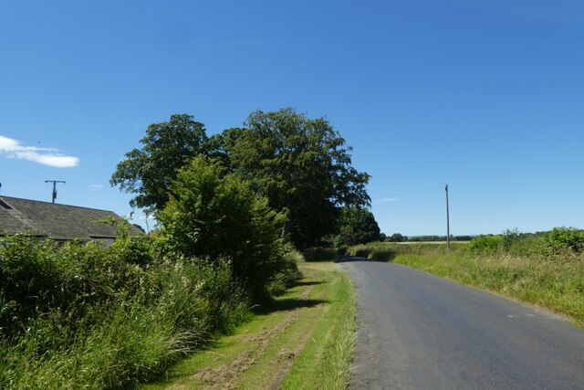
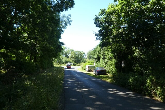
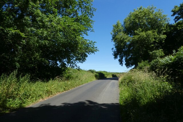
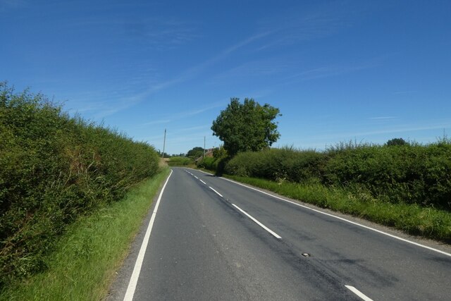
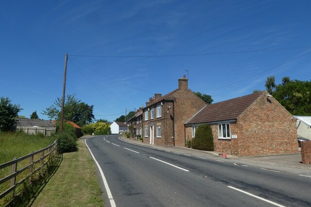
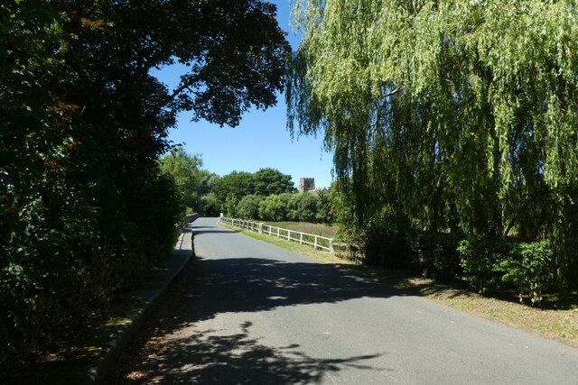
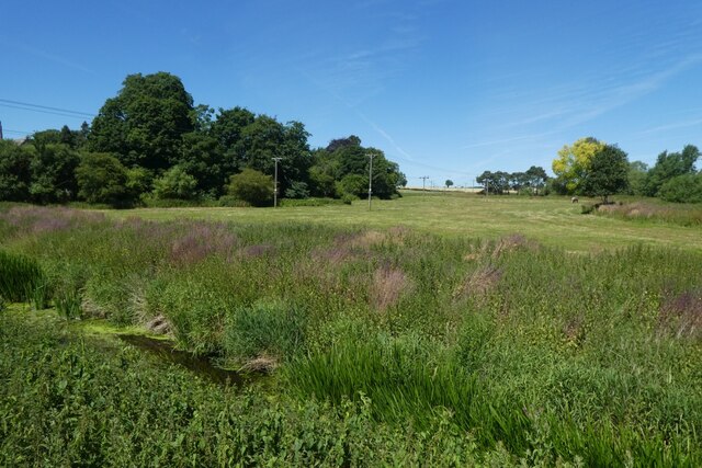
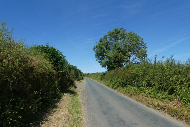
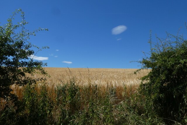
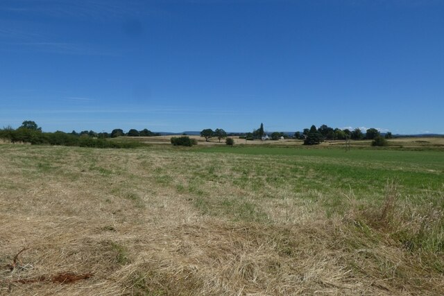
Bogs Plantation, located in Yorkshire, England, is a remarkable woodland area that spans over a vast expanse measuring approximately 100 acres. This enchanting forest is nestled within the picturesque North York Moors National Park, which adds to its allure and natural beauty. The plantation is primarily composed of woodland, characterized by dense clusters of trees, predominantly consisting of native species such as oak, birch, and beech.

One of the notable features of Bogs Plantation is its diverse ecosystem, which supports a wide range of flora and fauna. The forest floor is adorned with a rich carpet of vibrant mosses, ferns, and wildflowers, adding splashes of color to the predominantly green landscape. The dense canopy of trees provides shelter to numerous bird species, including the melodious song thrush and the elusive tawny owl. Additionally, the plantation is home to a variety of mammals, such as foxes, badgers, and deer, which can often be spotted roaming through the woodland.

Bogs Plantation offers a tranquil and serene environment, making it a popular destination for nature enthusiasts, hikers, and photographers alike. The well-maintained walking trails winding through the woodland provide visitors with the opportunity to fully immerse themselves in the beauty of nature. The plantation also features a small picnic area, allowing visitors to relax and enjoy a meal surrounded by the peaceful ambiance of the forest.

Overall, Bogs Plantation in Yorkshire is a captivating woodland that offers a remarkable display of natural beauty. Its diverse ecosystem, coupled with its serene atmosphere, makes it a must-visit destination for anyone seeking solace in the tranquility of nature.

If you have any feedback on the listing, please let us know in the comments section below.

Bogs Plantation Images

Images are sourced within 2km of 54.2459/-1.4199385 or Grid Reference SE3783. Thanks to Geograph Open Source API. All images are credited.

Old milepost At the north end of Sand Hutton near the footpath sign this milepost is deteriorating as the years pass by, in spite of new buildings nearby.  In 2011 there were only small patches of rust, in 2022, more rust than paint.
Old milepost
At the north end of Sand Hutton near the footpath sign this milepost is deteriorating as the years pass by, in spite of new buildings nearby. In 2011 there were only small patches of rust, in 2022, more rust than paint.
Old milepost, Breckenborough There are 5 of this style of post remaining between Boroughbridge and Northallerton with 7 more north of the town.  It is unknown where they were cast.  The 52 mile Boroughbridge, Northallerton, Durham turnpike was first enacted in 1745 but these posts are probably late 19C and are only on the 20 miles of road in Yorkshire.  This post is set in a concrete plinth which is now covered in vegetation.
Milestone Society National ID: YN_NABB07
Old milepost, Breckenborough
There are 5 of this style of post remaining between Boroughbridge and Northallerton with 7 more north of the town. It is unknown where they were cast. The 52 mile Boroughbridge, Northallerton, Durham turnpike was first enacted in 1745 but these posts are probably late 19C and are only on the 20 miles of road in Yorkshire. This post is set in a concrete plinth which is now covered in vegetation. Milestone Society National ID: YN_NABB07
Fields near Crosslands Hill Looking towards the railway over farmland from Newsham Road.
Fields near Crosslands Hill
Looking towards the railway over farmland from Newsham Road.
West Lodge Looking towards West Lodge at Thornton Stud from Newsham Road.
West Lodge
Looking towards West Lodge at Thornton Stud from Newsham Road.
Avenue Grange Looking towards Avenue Grange from Newsham Road on a hot Sunday.
Avenue Grange
Looking towards Avenue Grange from Newsham Road on a hot Sunday.
South from the bridge on Newsham Road Looking along the East Coast Mainline as the 1003 London Kings Cross to Edinburgh (1S11) heads along the Down Main towards Northallerton, with the next stop at Darlington. The train is formed of 801206.
South from the bridge on Newsham Road
Looking along the East Coast Mainline as the 1003 London Kings Cross to Edinburgh (1S11) heads along the Down Main towards Northallerton, with the next stop at Darlington. The train is formed of 801206.
North from the bridge on Newsham Road Looking along the East Coast Mainline as the 1003 London Kings Cross to Edinburgh (1S11) heads along the Down Main towards Northallerton, with the next stop at Darlington. The train is formed of 801206.
North from the bridge on Newsham Road
Looking along the East Coast Mainline as the 1003 London Kings Cross to Edinburgh (1S11) heads along the Down Main towards Northallerton, with the next stop at Darlington. The train is formed of 801206.
Newsham Road beside Coltsfoot Looking along Newsham Road which runs north-west from Thirsk on a hot Sunday.
Newsham Road beside Coltsfoot
Looking along Newsham Road which runs north-west from Thirsk on a hot Sunday.
Newsham Road approaching the A167 Looking along Newsham Road which runs north-west from Thirsk on a hot Sunday.
Newsham Road approaching the A167
Looking along Newsham Road which runs north-west from Thirsk on a hot Sunday.
Newsham Road Looking along Newsham Road which runs to Thirsk on a hot Sunday.
Newsham Road
Looking along Newsham Road which runs to Thirsk on a hot Sunday.
A167 near Oaktree Hill Looking north along the road towards Kirby Wiske.
A167 near Oaktree Hill
Looking north along the road towards Kirby Wiske.
Houses in Newsham Looking along the A167 near the junction for Kirby Wiske.
Houses in Newsham
Looking along the A167 near the junction for Kirby Wiske.
Kirby Bridge Looking across the bridge over the River Wiske.
Kirby Bridge
Looking across the bridge over the River Wiske.
River Wiske Looking down from Kirby Bridge at the River Wiske.
River Wiske
Looking down from Kirby Bridge at the River Wiske.
Church in Kirby Wiske The Church of St. John the Baptist in the village.
Church in Kirby Wiske
The Church of St. John the Baptist in the village.
Road north from Kirby Wiske Leading towards Maunby.
Road north from Kirby Wiske
Leading towards Maunby.
Field north of Kirby Wiske Looking across a field north of the village.
Field north of Kirby Wiske
Looking across a field north of the village.
Farmland above the Wiske Looking across fields north of Kirby Wiske.
Farmland above the Wiske
Looking across fields north of Kirby Wiske.
Show me another place!

Bogs Plantation is located at Grid Ref: SE3783 (Lat: 54.2459, Lng: -1.4199385)

Division: North Riding

Administrative County: North Yorkshire

District: Hambleton

Police Authority: North Yorkshire

What 3 Words

///parsnips.mild.waistcoat. Near Thirsk, North Yorkshire

Related Wikis

Breckenbrough Hoard

The Breckenbrough Hoard is a hoard of gold and silver coins dating from 1644, during the English Civil War. It is in the collection of the Yorkshire Museum...

Breckenbrough School

Breckenbrough School is a private registered charitable trust school in Sandhutton, North Yorkshire, England. Breckenbrough School was founded in 1934...

Newsham with Breckenbrough

Newsham with Breckenbrough is a civil parish in the Hambleton district of North Yorkshire, England and lies on the A167. The population of the parish at...

River Wiske

The River Wiske is a tributary of the River Swale in Yorkshire, England. The Wiske gives its name to several villages it passes through. The name Wiske...

St John the Baptist's Church, Kirby Wiske

St John the Baptist's Church, Kirby Wiske is a Grade II* listed parish church in the Church of England: 212  in Kirby Wiske, North Yorkshire. == History... ==

Kirby Wiske

Kirby Wiske is an English village and civil parish in the Hambleton District of North Yorkshire. It lies beside the River Wiske, about 4 miles (6.4 km...

Sandhutton

Sandhutton is a small village and civil parish in Hambleton District of North Yorkshire, England. It lies about 3 miles (5 km) west of Thirsk on the A167...

1892 Thirsk rail crash

The 1892 Thirsk rail crash happened at Manor House signal box on 2 November 1892, on the North Eastern Railway about 3 miles (4.8 km) north of Thirsk railway...

Nearby Amenities

Located within 500m of 54.2459,-1.4199385
Breckenbrough
Place: locality
Source: OS OpenData StreetView
Lat/Long: 54.2464805/-1.4271327
The data included in this document is from www.openstreetmap.org. The data is made available under ODbL.

Have you been to Bogs Plantation?

Leave your review of Bogs Plantation below (or comments, questions and feedback).