Bank Plantation
Wood, Forest in Derbyshire Amber Valley
England
Bank Plantation
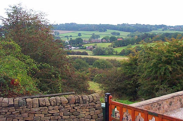
Bank Plantation, located in Derbyshire, is a magnificent woodland area known for its dense forest and rich biodiversity. Spanning over a vast area, this plantation is a haven for nature enthusiasts, hikers, and wildlife lovers alike.
The woodland is predominantly composed of native tree species such as oak, ash, beech, and birch, which create a lush and vibrant canopy. The forest floor is covered in a thick layer of moss, ferns, and wildflowers, providing a picturesque and serene atmosphere. Additionally, the plantation is home to a myriad of wildlife species including deer, foxes, squirrels, and a variety of birds, making it a popular spot for birdwatching.
Trails and footpaths wind their way through the woodland, allowing visitors to explore the plantation at their own pace. The paths offer breathtaking views of the surrounding countryside and provide opportunities for peaceful walks, picnics, and photography. The dense foliage also provides a welcome respite from the summer heat, making it an ideal destination for outdoor activities during warmer months.
Bank Plantation is a well-maintained natural area that is carefully managed to preserve its ecological balance. Conservation efforts have been put in place to protect and maintain the diverse range of flora and fauna that call this woodland their home. Local authorities and nature conservation organizations work together to ensure the sustainability and longevity of this beautiful woodland.
Visitors to Bank Plantation can expect to be immersed in the tranquility and beauty of nature, as they explore the enchanting woodland, breathe in the fresh air, and witness the wonders of Derbyshire's natural heritage.
If you have any feedback on the listing, please let us know in the comments section below.
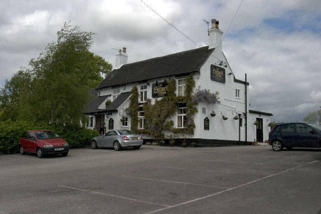
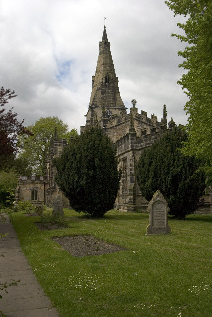
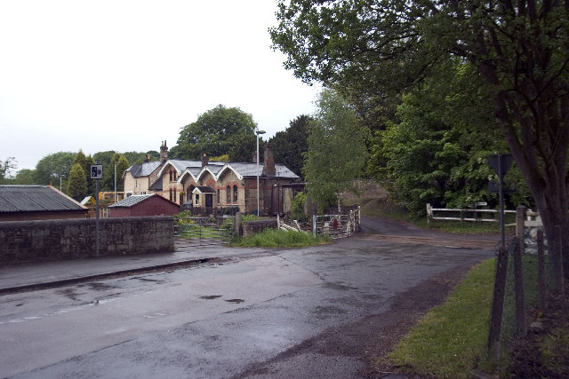
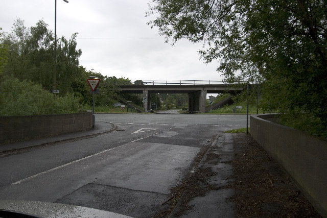
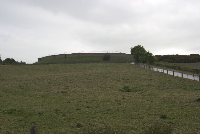
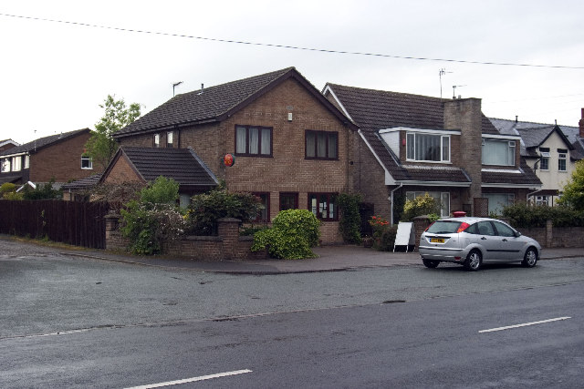
Bank Plantation Images
Images are sourced within 2km of 52.990047/-1.4369704 or Grid Reference SK3743. Thanks to Geograph Open Source API. All images are credited.


Bank Plantation is located at Grid Ref: SK3743 (Lat: 52.990047, Lng: -1.4369704)
Administrative County: Derbyshire
District: Amber Valley
Police Authority: Derbyshire
What 3 Words
///note.oath.snacks. Near Kilburn, Derbyshire
Nearby Locations
Related Wikis

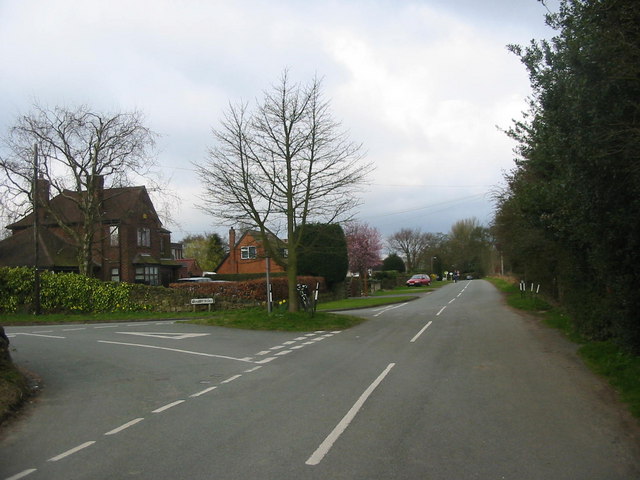
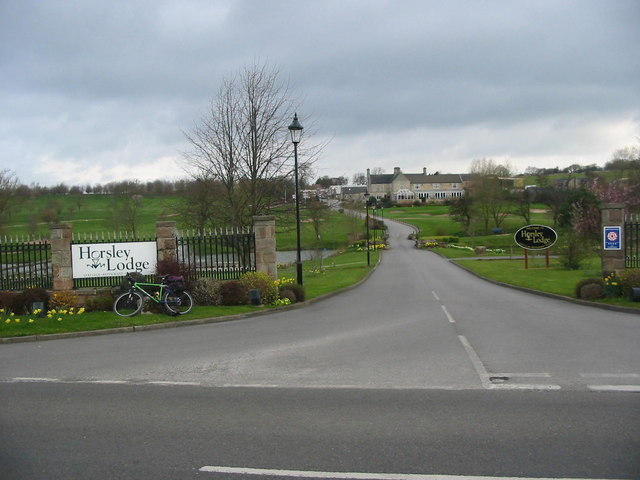
Horsley, Derbyshire
Horsley is a small village in the Amber Valley district of Derbyshire, roughly 5 miles north of the City of Derby, England, with a population of 973 at...

Horston Castle
Horston Castle (sometimes spelt Horeston and also known as Horsley Castle) is about 1 mile to the south of the village of Horsley, some 5 miles north of...

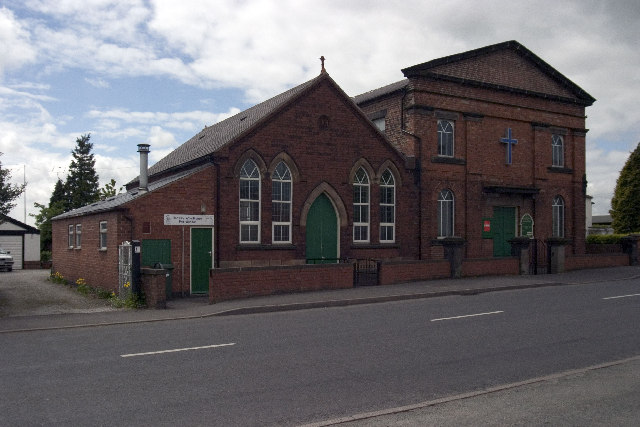
St Clement's Church, Horsley
St Clement's Church, Horsley is a Grade I listed parish church in the Church of England in Horsley, Derbyshire. == History == The church dates from the...

Coxbench railway station
Coxbench railway station was a railway station which served the village of Coxbench in Derbyshire, England. It was opened by the Midland Railway in 1856...
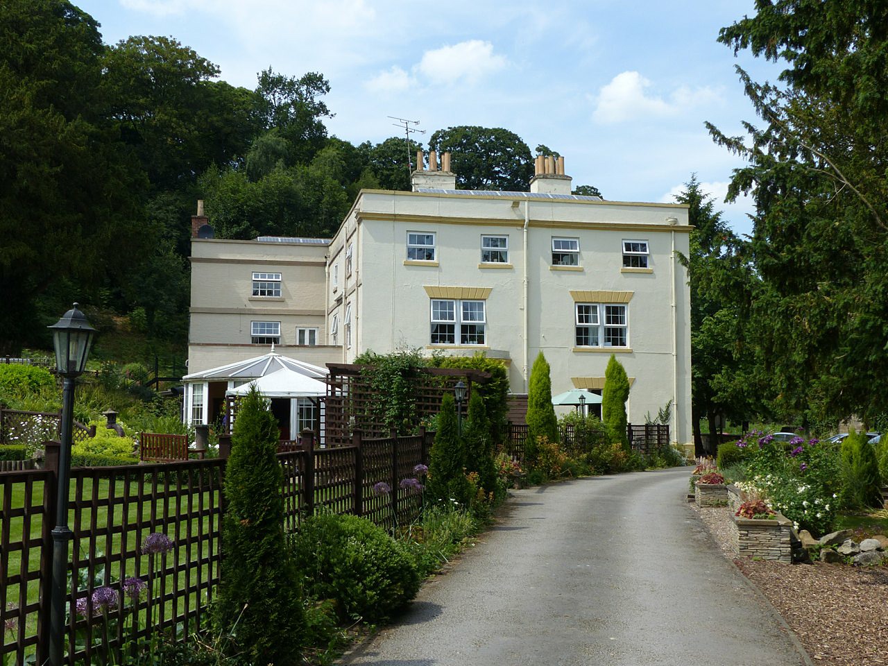
Coxbench Hall
Coxbench Hall is a late 18th-century country house, now in use as a residential home for the elderly, situated at Holbrook, Amber Valley, Derbyshire. It...

Brackley Gate
Brackley Gate is a hamlet in the Erewash district, in Derbyshire, England. It forms part of the civil parish of Morley. It is located northeast of Derby...

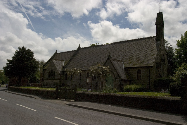
St Michael's Church, Holbrook
St Michael's Church, Holbrook is a Grade II listed parish church in the Church of England in Holbrook, Derbyshire. == History == The church foundation...

Holbrook, Derbyshire
Holbrook is a village in Derbyshire at the southern end of the Pennines around five miles north of Derby, England. The population of the civil parish at...
Nearby Amenities
Located within 500m of 52.990047,-1.4369704Have you been to Bank Plantation?
Leave your review of Bank Plantation below (or comments, questions and feedback).