Wombwell Wood
Wood, Forest in Yorkshire
England
Wombwell Wood

Wombwell Wood is a picturesque woodland located in the county of Yorkshire, England. This woodland is a popular natural attraction, renowned for its scenic beauty and rich biodiversity. Covering an area of approximately 300 acres, Wombwell Wood offers a serene escape from the hustle and bustle of urban life.
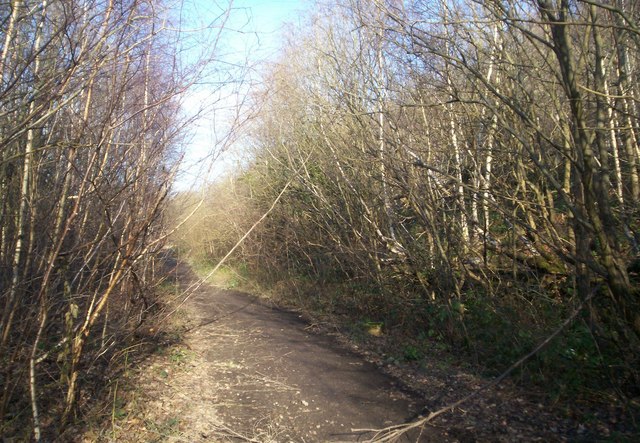
The wood is predominantly composed of broadleaf trees such as oak, beech, and birch, which create a lush canopy that provides shade and shelter for a diverse range of flora and fauna. Walking through the wood, visitors can witness a stunning array of wildflowers, including bluebells, primroses, and wood anemones, which paint the forest floor with vibrant colors during the spring months.
Wombwell Wood is also home to a wide variety of wildlife species. Nature enthusiasts can spot numerous bird species, including woodpeckers, jays, and tawny owls, as well as small mammals like squirrels, badgers, and foxes. The wood's tranquil atmosphere and diverse habitats make it an ideal environment for these animals to thrive.
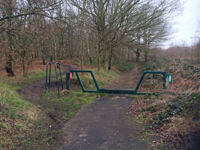
For outdoor enthusiasts, Wombwell Wood offers a network of well-maintained walking trails that meander through the trees, providing visitors with the opportunity to explore the wood at their own pace. The trails are suitable for all ages and fitness levels, making it a perfect destination for a family day out or a peaceful solo walk.
Overall, Wombwell Wood is a haven of natural beauty and biodiversity in Yorkshire. Whether you are a nature lover, a keen walker, or simply seeking a peaceful escape, this woodland is a must-visit destination that promises a truly enchanting experience.
If you have any feedback on the listing, please let us know in the comments section below.
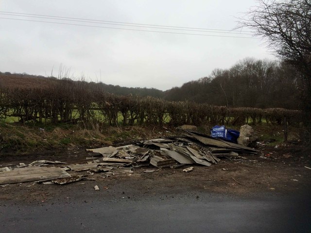
Wombwell Wood Images
Images are sourced within 2km of 53.519077/-1.4325933 or Grid Reference SE3702. Thanks to Geograph Open Source API. All images are credited.


Wombwell Wood is located at Grid Ref: SE3702 (Lat: 53.519077, Lng: -1.4325933)
Division: West Riding
Unitary Authority: Barnsley
Police Authority: South Yorkshire
What 3 Words
///dine.caked.notes. Near Wombwell, South Yorkshire
Nearby Locations
Related Wikis
Dovecliffe railway station
Dovecliffe railway station was situated on the South Yorkshire Railway's Blackburn Valley line between High Royds and Wombwell Main Junction. == History... ==
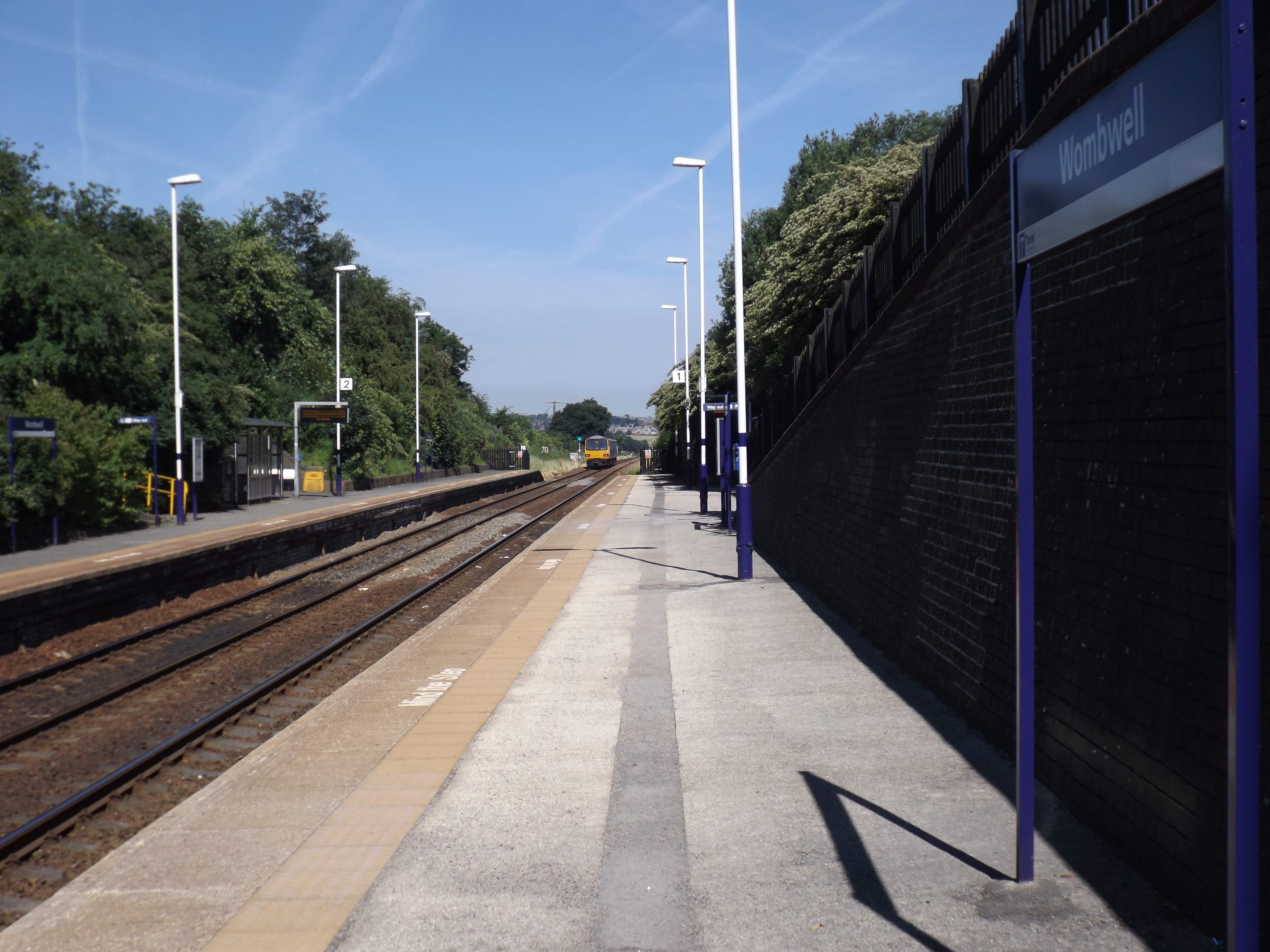
Wombwell railway station
Wombwell railway station is a railway station serving the town of Wombwell in South Yorkshire, England. The station is 12 miles (19 km) north of Sheffield...

Wombwell Main F.C.
Wombwell Main Football Club is a football club based in Wombwell, Barnsley, South Yorkshire, England. They are currently members of the Sheffield & Hallamshire...
Jump, South Yorkshire
Jump is a village in the metropolitan borough of Barnsley in South Yorkshire, England. It is north-east of Hoyland, separated from it by the Jump Valley...
Barnsley Academy
Barnsley Academy is a secondary school in Barnsley, South Yorkshire, England. The school opened in September 2006.The school has academy status, having...
The Elmhirst School
The Elmhirst School was a comprehensive school on the B6100 (Ardsley Road) in Worsbrough Dale, south of Barnsley, South Yorkshire, England. == History... ==

Wentworth and Dearne (UK Parliament constituency)
Wentworth and Dearne is a constituency in South Yorkshire represented in the House of Commons of the UK Parliament since its 2010 creation by John Healey...
Barrow Colliery
Barrow Colliery was a coal mine in Worsborough, South Yorkshire, England. It was first dug in 1873, with the first coal being brought to the surface in...
Nearby Amenities
Located within 500m of 53.519077,-1.4325933Have you been to Wombwell Wood?
Leave your review of Wombwell Wood below (or comments, questions and feedback).