Winterly Copse
Wood, Forest in Berkshire
England
Winterly Copse

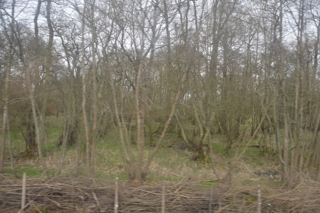
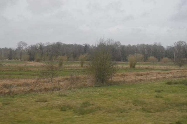
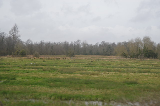
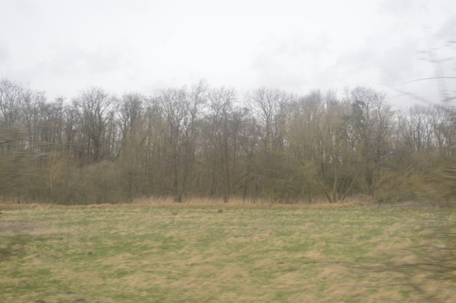
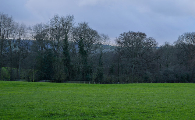
Winterly Copse is a picturesque woodland located in the county of Berkshire, England. Covering an area of approximately 50 acres, this enchanting copse is renowned for its natural beauty, tranquility, and diverse ecosystem.
Situated in the heart of the Berkshire countryside, Winterly Copse is characterized by its dense canopy of deciduous and coniferous trees, which provide a stunning display of colors during the autumn months. The woodland is predominantly composed of oak, beech, and pine trees, creating a rich tapestry of greenery throughout the year.
The copse is crisscrossed by a network of well-maintained footpaths, allowing visitors to explore and appreciate its natural wonders. As one ventures deeper into the woods, they will encounter a myriad of wildlife, including squirrels, rabbits, and various species of birds. The copse is also home to a diverse range of flora, with carpets of bluebells painting the forest floor during the springtime.
Winterly Copse is a popular destination for nature enthusiasts, hikers, and photographers. It offers a peaceful retreat from the hustle and bustle of everyday life, providing a sanctuary for those seeking solitude and a connection with nature. The copse is particularly captivating during the winter months, when a blanket of snow transforms it into a winter wonderland.
Managed by the Berkshire Wildlife Trust, Winterly Copse is a designated Site of Special Scientific Interest, highlighting its importance for conservation and preservation. It serves as a valuable habitat for numerous rare and endangered species, contributing to the preservation of biodiversity in the region.
Overall, Winterly Copse is a natural gem in Berkshire, offering visitors a chance to immerse themselves in the beauty of the British woodland and experience the serenity of nature.
If you have any feedback on the listing, please let us know in the comments section below.
Winterly Copse Images
Images are sourced within 2km of 51.391901/-1.4593827 or Grid Reference SU3766. Thanks to Geograph Open Source API. All images are credited.


Winterly Copse is located at Grid Ref: SU3766 (Lat: 51.391901, Lng: -1.4593827)
Unitary Authority: West Berkshire
Police Authority: Thames Valley
What 3 Words
///parsnips.camp.mocked. Near Kintbury, Berkshire
Nearby Locations
Related Wikis

Catmore and Winterly Copses
Catmore and Winterly Copses is a 25-hectare (62-acre) biological Site of Special Scientific Interest north-west of Kintbury in Berkshire.The woods are...

Kintbury Rangers F.C.
Kintbury Rangers F.C. are a football club based in the village of Kintbury, West Berkshire, England. In the 2022–23 season they play in the Wiltshire Senior...

Kintbury Newt Ponds
Kintbury Newt Ponds is a 3-hectare (7.4-acre) nature reserve in Kintbury in Berkshire. It is managed by the Berkshire, Buckinghamshire and Oxfordshire...

Kintbury
Kintbury is a village and civil parish in the West Berkshire district, Berkshire, England, between the towns of Newbury and Hungerford. The village has...
Kintbury Abbey
Kintbury Abbey was a supposed Anglo-Saxon monastery at Kintbury in the English county of Berkshire. It was planned to refound it in 1147, but this never...
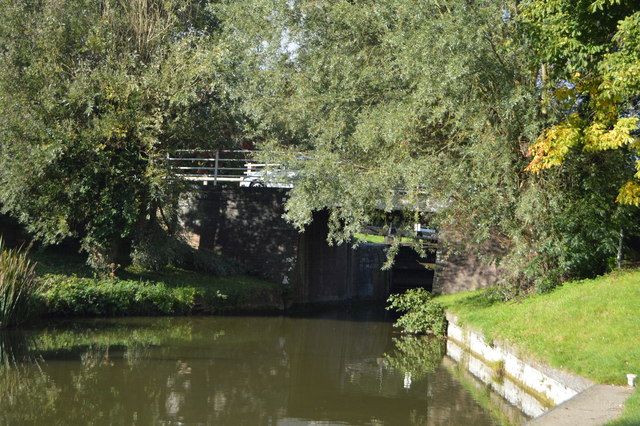
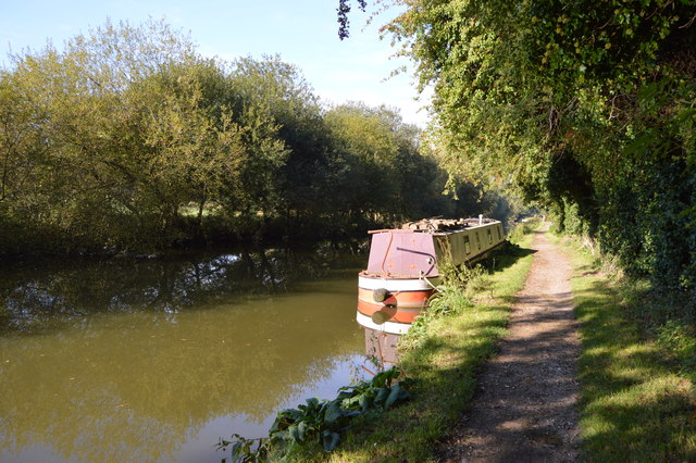
Kintbury Lock
Kintbury Lock is a lock on the Kennet and Avon Canal, at Kintbury, Berkshire, England. The lock has a rise/fall of 5 feet 9 inches (1.75 m). == See... ==
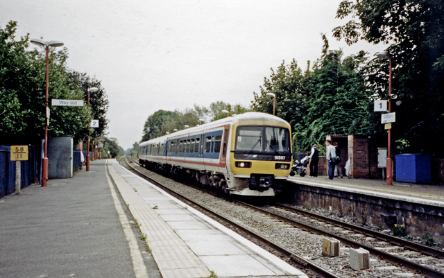
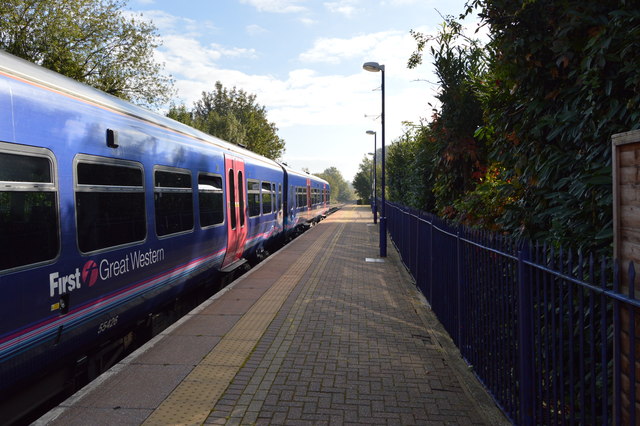
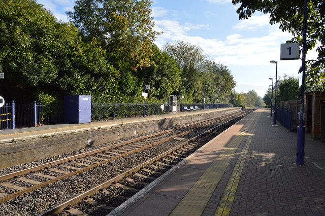
Kintbury railway station
Kintbury railway station serves the village of Kintbury in Berkshire, England. It is situated on the Reading to Taunton Line, 58 miles 38 chains (58.48...
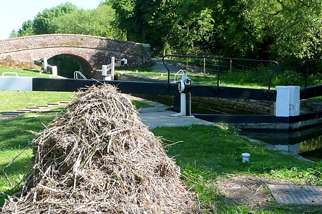
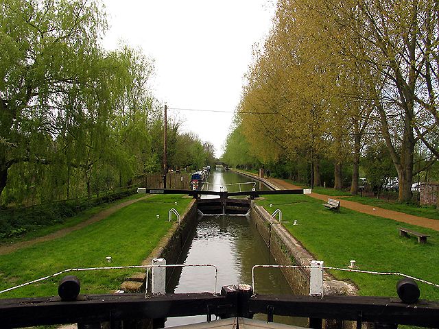
Brunsden Lock
Brunsdon Lock is a lock on the Kennet and Avon Canal, near Kintbury, Berkshire, England. The lock has a rise/fall of 4 ft 11 in (1.5 m). The Lock is also...
Nearby Amenities
Located within 500m of 51.391901,-1.4593827Have you been to Winterly Copse?
Leave your review of Winterly Copse below (or comments, questions and feedback).