Morrell's Wood
Wood, Forest in Derbyshire Amber Valley
England
Morrell's Wood

Morrell's Wood is a picturesque forest located in Derbyshire, England. Covering an area of approximately 100 acres, it is a haven for outdoor enthusiasts and nature lovers alike. The woodland is nestled within the rolling hills of the county, providing visitors with breathtaking views and a tranquil environment.
Morrell's Wood is predominantly composed of native broadleaf trees, including oak, ash, and beech. These trees create a dense canopy, offering shade during the hot summer months and a vibrant burst of colors in the autumn. The forest floor is carpeted with a diverse range of flora, such as bluebells, wild garlic, and ferns, adding to the enchanting atmosphere.
A network of walking trails meanders through Morrell's Wood, allowing visitors to explore its beauty at their own pace. These paths cater to all levels of fitness, from leisurely strolls to more challenging hikes. Along the way, visitors can spot various wildlife species, including deer, squirrels, and a myriad of bird species.
The forest is also home to a variety of recreational activities. Picnic areas dotted throughout the wood provide the perfect spot for a family outing or a quiet lunch surrounded by nature. Additionally, Morrell's Wood offers excellent opportunities for birdwatching, photography, and even orienteering.
Thanks to its proximity to nearby towns and villages, Morrell's Wood is easily accessible for visitors. Its natural beauty and peaceful ambiance make it a popular destination for locals and tourists alike, who come to soak in the serenity and immerse themselves in the wonders of nature.
If you have any feedback on the listing, please let us know in the comments section below.
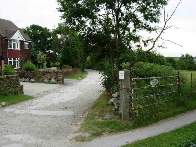
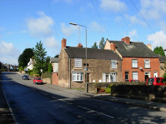
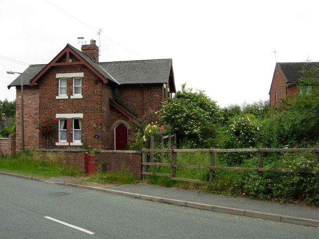
Morrell's Wood Images
Images are sourced within 2km of 53.028897/-1.4404161 or Grid Reference SK3748. Thanks to Geograph Open Source API. All images are credited.


Morrell's Wood is located at Grid Ref: SK3748 (Lat: 53.028897, Lng: -1.4404161)
Administrative County: Derbyshire
District: Amber Valley
Police Authority: Derbyshire
What 3 Words
///bookcases.stuff.observe. Near Heage, Derbyshire
Nearby Locations
Related Wikis

Street Lane
Street Lane is a hamlet in the Amber Valley district of Derbyshire, England. It is in close proximity to the nearby town of Ripley. Street Lane is a linear...

Morley Park
Morley Park is an area within Heage, in the parish of Ripley in the English county of Derbyshire, north of Derby. It is about five miles north of the village...
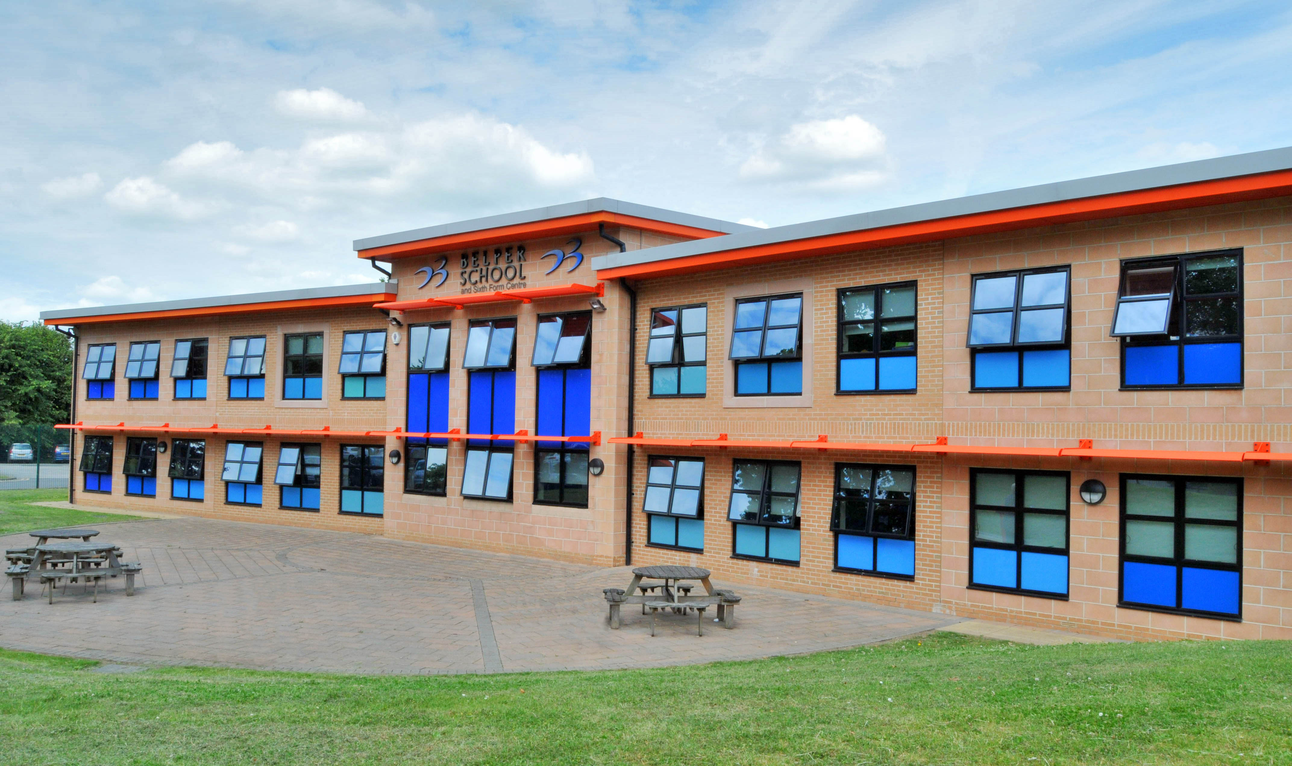
Belper School
Belper School and Sixth Form Centre is a foundation secondary school located in the north-east of Belper, Derbyshire, England. In October 2019, Ofsted...
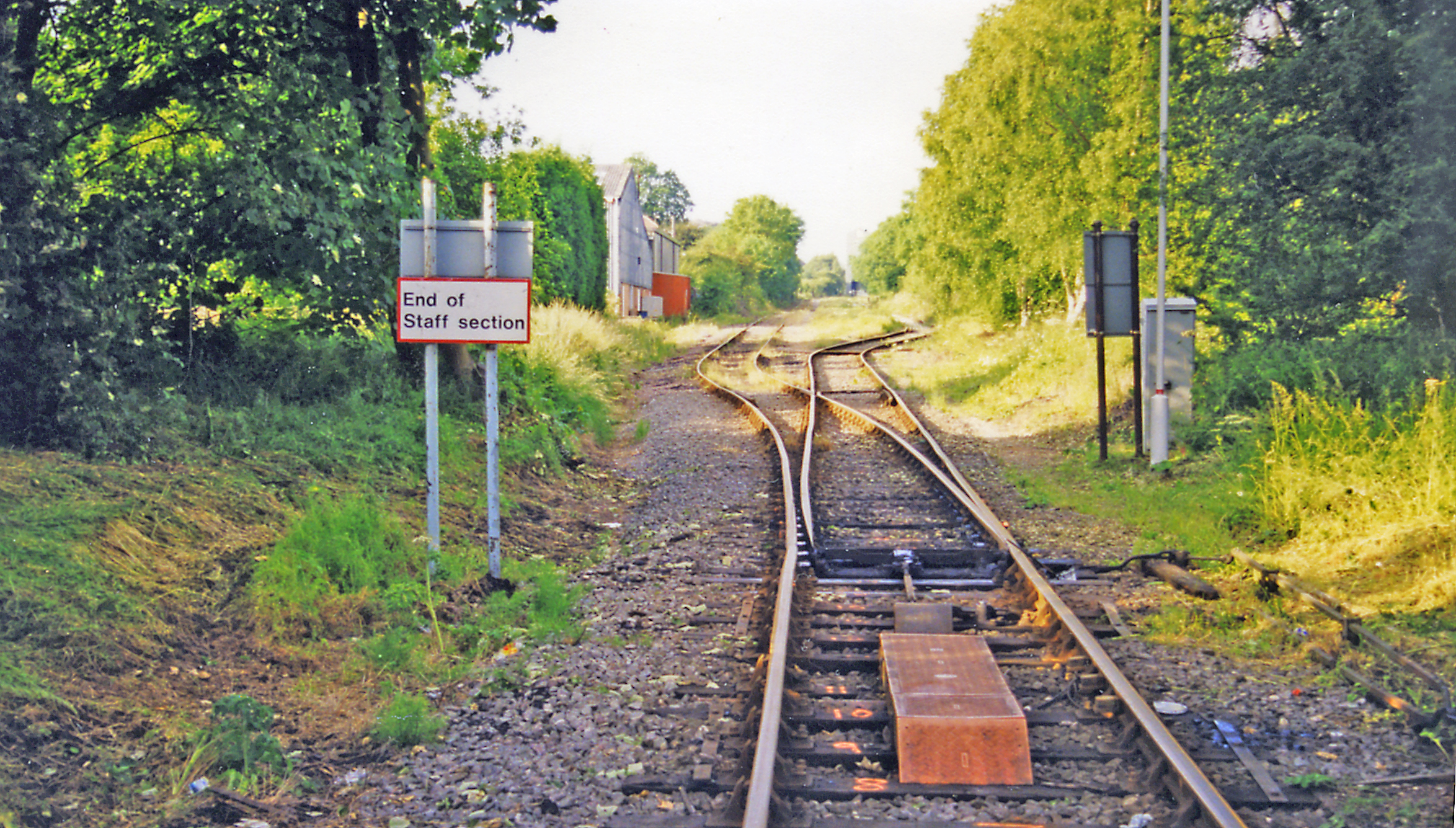
Denby railway station
Denby railway station was a railway station which served the village of Denby in Derbyshire, England. It was opened in 1856 as Smithy Houses by the Midland...

Denby
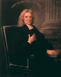
Denby is a village in the English county of Derbyshire that is notable as the birthplace of John Flamsteed, England's first Astronomer Royal, and the location...
John Flamsteed Community School
John Flamsteed Community School is an 11–16 mixed secondary school with academy status in Denby, Derbyshire, England. It is named after Sir John Flamsteed...
Kilburn railway station
Kilburn railway station was a railway station which served the village of Kilburn in Derbyshire, England. It was opened in 1856 by the Midland Railway...
Denby Bottles
Denby Bottles is a settlement in Derbyshire, England. It is located on the B6179 road in Denby. Denby Bottles Methodist Church is in Danesby Crescent....
Nearby Amenities
Located within 500m of 53.028897,-1.4404161Have you been to Morrell's Wood?
Leave your review of Morrell's Wood below (or comments, questions and feedback).