The Plantation

Wood, Forest in Oxfordshire Cherwell

England

The Plantation

Valley below The Plantation The course of the stream at the bottom of the valley is shown by the weaving line of trees.
Valley below The Plantation Credit: AJD

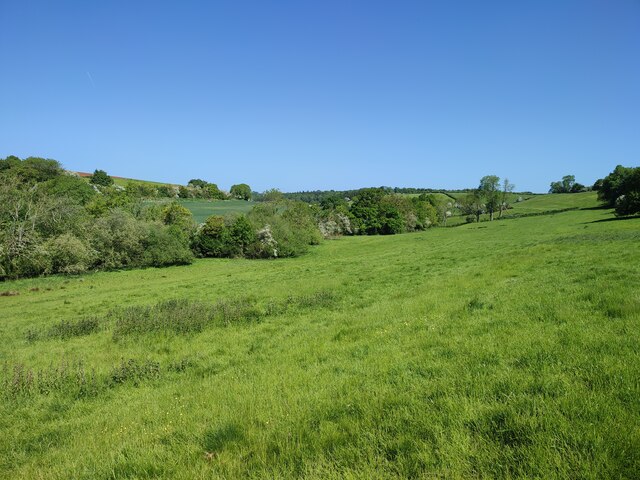
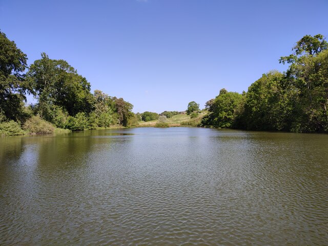
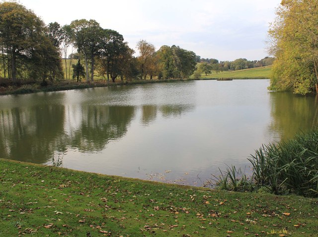
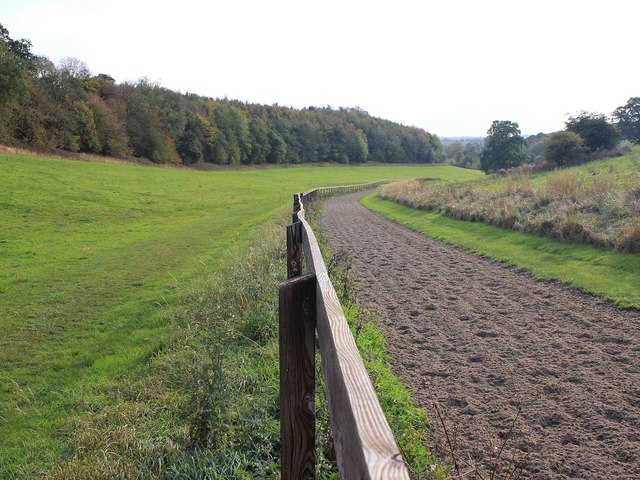
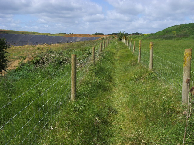
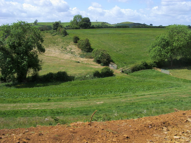
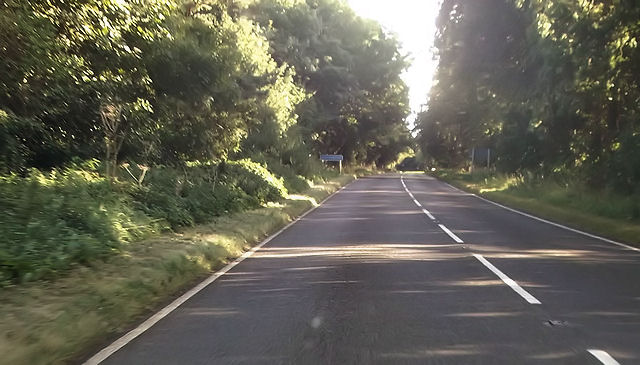
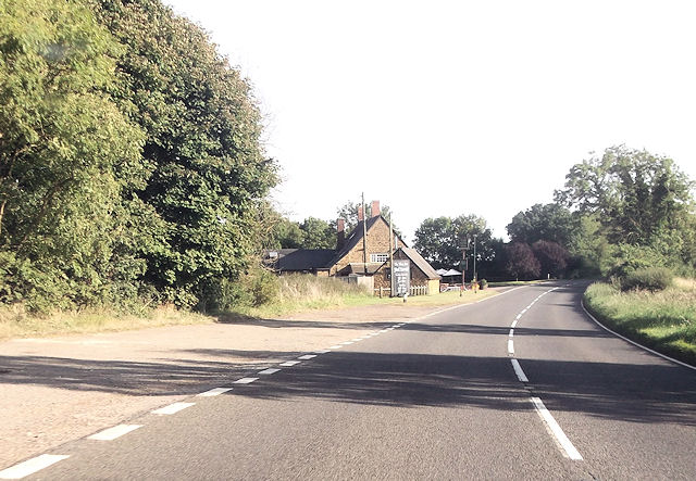
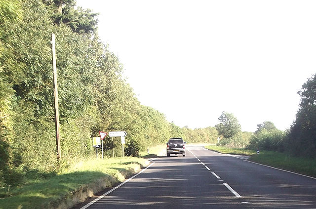
The Plantation, located in Oxfordshire, is a picturesque woodland area known for its rich biodiversity and scenic beauty. Spread across a vast expanse, this woodland is a popular destination for nature enthusiasts and outdoor adventurers.

The Plantation is primarily composed of a diverse array of tree species, including oak, beech, birch, and pine. These trees provide a dense canopy that creates a serene and tranquil atmosphere within the woodland. The forest floor is adorned with a variety of wildflowers, ferns, and mosses, adding to the enchanting ambiance.

The woodland is home to a wide range of wildlife, making it an ideal spot for nature lovers and birdwatchers. Visitors may encounter various species of birds, such as woodpeckers, owls, and songbirds, as well as small mammals like squirrels, rabbits, and foxes. The Plantation is also known to be a habitat for several species of butterflies and insects.

For outdoor enthusiasts, The Plantation offers numerous walking trails and paths that wind through the woodland, allowing visitors to explore the natural beauty at their own pace. The well-maintained trails provide an opportunity to observe the flora and fauna up close while enjoying the fresh air and tranquility of the surroundings.

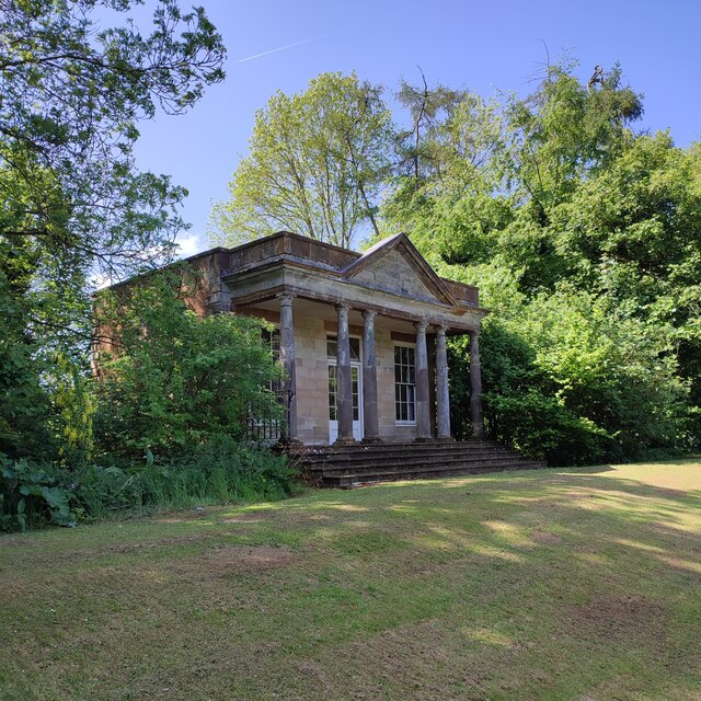
The Plantation is easily accessible, with ample parking facilities and well-marked entrances. It is a popular destination for families, nature photographers, and those seeking a peaceful retreat in the heart of nature. Whether it's a leisurely stroll or an adventurous hike, The Plantation in Oxfordshire promises a memorable and immersive experience for all who visit.

If you have any feedback on the listing, please let us know in the comments section below.

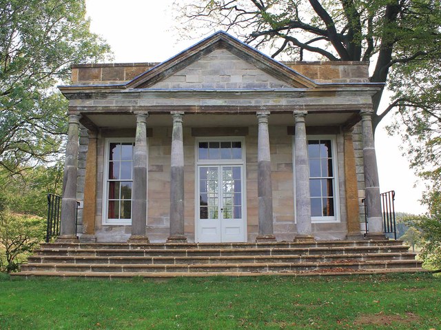
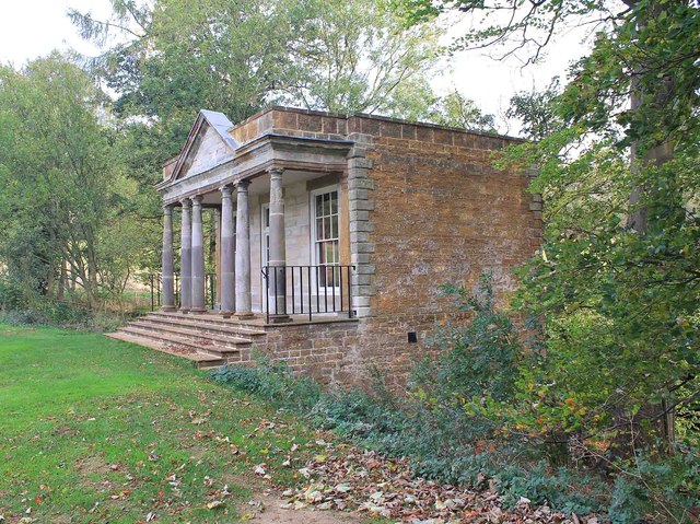
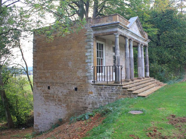
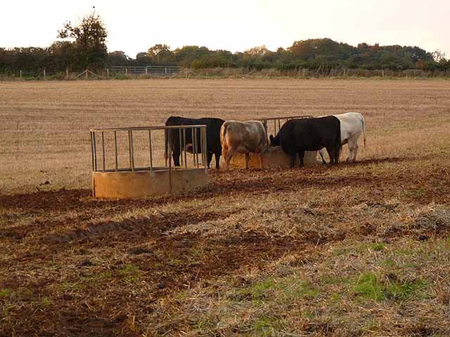
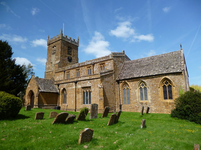
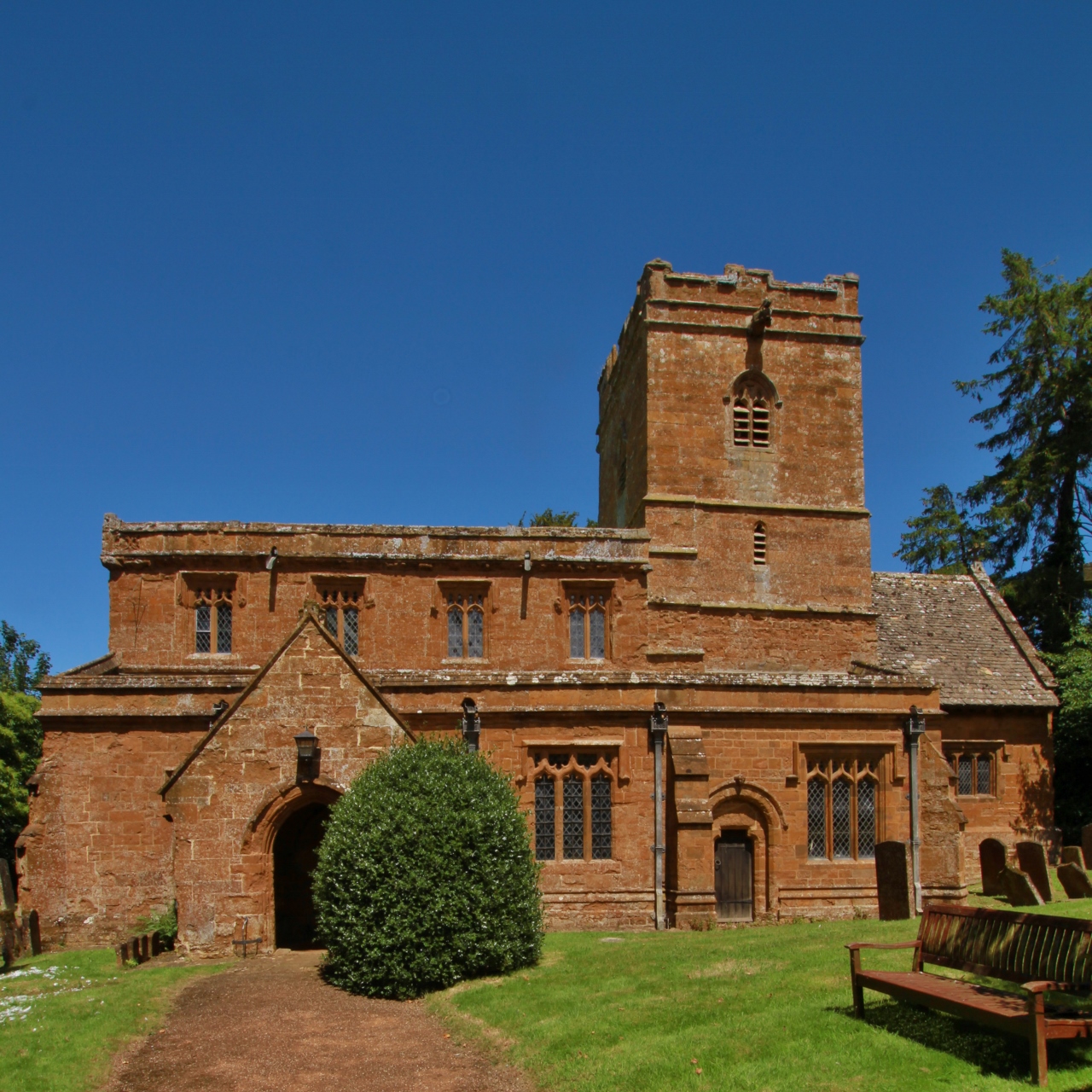
The Plantation Images

Images are sourced within 2km of 52.086518/-1.4522884 or Grid Reference SP3743. Thanks to Geograph Open Source API. All images are credited.

Valley below The Plantation The course of the stream at the bottom of the valley is shown by the weaving line of trees.
Valley below The Plantation
The course of the stream at the bottom of the valley is shown by the weaving line of trees.
Temple Pool
Temple Pool
The Temple, Temple Pool
Former RAF Edgehill from the air RAF Edgehill was used for test flights of experimental jet aircraft during the Second World War. Now known as Shenington Airfield, it is home to a gliding club and a kart racing club. Viewed from a Heathrow bound flight from Glasgow.
Former RAF Edgehill from the air
RAF Edgehill was used for test flights of experimental jet aircraft during the Second World War. Now known as Shenington Airfield, it is home to a gliding club and a kart racing club. Viewed from a Heathrow bound flight from Glasgow.
Temple Pool, Upton House Estate Temple pool from the east end of the dam.
Temple Pool, Upton House Estate
Temple pool from the east end of the dam.
The Temple, Temple Pool, Upton House Estate The Temple in the middle of the dam, at the southern end of the pool.
Built around 1745, attributed to Sanderson Miller. Ironstone ashlar with
dressings and front of grey limestone ashlar. Tile roof with parapet. Single
storey. 3-window range. Classical style. Four steps up to full width portico of
single and 2 pairs of alternated Tuscan columns, entablature and steep central
pediment. Plain railings to sides. Main block has angle pilasters and rusticated
alternating quoins. Central glazed double-leaf doors with overlight and sashes
all have stone lintels. Rear of 2 storeys due to steeply-sloping site. Upper
part has rusticated quoins. Central sash, with small gablet above. Lower part
has blocked round-archway. Interior noted as having classical moulded dado rail
and cornice. Prominent position in the centre of the dam at the end of the
Temple Pool. <span class="nowrap"><a title="http://www.britishlistedbuildings.co.uk/en-306248-temple-at-temple-pool-upton-house-ratley" rel="nofollow ugc noopener" href="http://www.britishlistedbuildings.co.uk/en-306248-temple-at-temple-pool-upton-house-ratley">Link</a><img style="margin-left:2px;" alt="External link" title="External link - shift click to open in new window" src="https://s1.geograph.org.uk/img/external.png" width="10" height="10"/></span>
The Temple, Temple Pool, Upton House Estate
The Temple in the middle of the dam, at the southern end of the pool. Built around 1745, attributed to Sanderson Miller. Ironstone ashlar with dressings and front of grey limestone ashlar. Tile roof with parapet. Single storey. 3-window range. Classical style. Four steps up to full width portico of single and 2 pairs of alternated Tuscan columns, entablature and steep central pediment. Plain railings to sides. Main block has angle pilasters and rusticated alternating quoins. Central glazed double-leaf doors with overlight and sashes all have stone lintels. Rear of 2 storeys due to steeply-sloping site. Upper part has rusticated quoins. Central sash, with small gablet above. Lower part has blocked round-archway. Interior noted as having classical moulded dado rail and cornice. Prominent position in the centre of the dam at the end of the Temple Pool. LinkExternal link
Gallop and footpath, Upton House Estate Taken from the footpath to Shenington.
Gallop and footpath, Upton House Estate
Taken from the footpath to Shenington.
Fenced footpath Fenced footpath through the Alkerton land fill
Fenced footpath
Fenced footpath through the Alkerton land fill
Holy Trinity Church Holy Trinity Church Shenington
Holy Trinity Church
Holy Trinity Church Shenington
D'Arcy Dalton Way From Shenington the D'Arcy Dalton Way footpath to Epwell
D'Arcy Dalton Way
From Shenington the D'Arcy Dalton Way footpath to Epwell
A422 at the Oxfordshire sign
The New Inn on the Stratford road
Wroxton Heath crossroads
Yard and silo at Hornton Grounds Farm
Cattle at Hornton Grounds Farm
Shenington, Holy Trinity church
Show me another place!

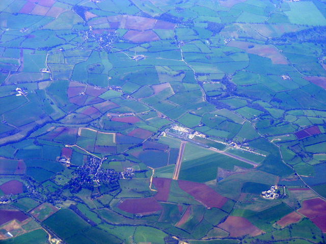
The Plantation is located at Grid Ref: SP3743 (Lat: 52.086518, Lng: -1.4522884)

Administrative County: Oxfordshire

District: Cherwell

Police Authority: Thames Valley

What 3 Words

///potions.handyman.scorched. Near Lower Brailes, Warwickshire

Nearby Locations

The Plantation

Related Wikis

Alkerton, Oxfordshire

Alkerton is a village and former civil parish, now in the parish of Shenington with Alkerton, in the Cherwell district, in the county of Oxfordshire, England...

Shenington with Alkerton

Shenington with Alkerton is a civil parish in Oxfordshire, England. It comprises the village of Shenington, which was an exclave of Gloucestershire until...

Shenington

Shenington is a village and former civil parish, now in the parish of Shenington with Alkerton, in the Cherwell district, in the county of Oxfordshire...

Balscote

Balscote or Balscott is a village in the civil parish of Wroxton, Oxfordshire, about 4 miles (6.4 km) west of Banbury. The Domesday Book of 1086 records...

Hornton

Hornton is a village and civil parish about 3 miles (5 km) northwest of Banbury in Oxfordshire. == Churches == The oldest parts of the Church of England...

Red Horse of Tysoe

The Red Horse of Tysoe was a hill figure in the parish of Tysoe, South Warwickshire, England, cut into the red clay below the escarpment of Edgehill. It...

Edge Hill, Warwickshire

Edge Hill is an escarpment and Edgehill a hamlet in the civil parish of Ratley and Upton, Stratford-on-Avon District, southern Warwickshire, England. At...

Upton House, Warwickshire

Upton House is a country house in the civil parish of Ratley and Upton, in the English county of Warwickshire, about 7 miles (11 km) northwest of Banbury...

Nearby Amenities

Located within 500m of 52.086518,-1.4522884
War Memorial
Naptan AtcoCode: 340000044G
Naptan Bearing: NW
Naptan BusStopType: CUS
Naptan CommonName: War Memorial
Naptan Indicator: Opposite
Naptan Landmark: Rattlecombe Road
Naptan NaptanCode: oxfamdta
Naptan Street: Rattlecombe Road
Naptan Verified: no
Source: naptan_import
Lat/Long: 52.0824702/-1.4502814
War Memorial
Naptan AtcoCode: 340000044OG
Naptan Bearing: SE
Naptan BusStopType: CUS
Naptan CommonName: War Memorial
Naptan Indicator: Corner
Naptan Landmark: Rattlecombe Road
Naptan NaptanCode: oxfgajmp
Naptan Street: Rattlecombe Road
Naptan Verified: no
Source: naptan_import
Lat/Long: 52.0825057/-1.4501788
Barrier: stile
Source: survey
Lat/Long: 52.0885919/-1.4519862
Barrier: stile
Source: survey
Lat/Long: 52.0834022/-1.4536292
Alkerton
Place: village
Wikidata: Q4727692
Wikipedia: en:Alkerton, Oxfordshire
Lat/Long: 52.082711/-1.4508405
Power: pole
Lat/Long: 52.0887756/-1.4482319
Power: pole
Lat/Long: 52.0884608/-1.4494742
Power: pole
Lat/Long: 52.0883109/-1.4497125
Power: pole
Lat/Long: 52.0841019/-1.4537999
Power: pole
Lat/Long: 52.084591/-1.4521962
Power: pole
Lat/Long: 52.0848514/-1.4513379
Power: pole
Lat/Long: 52.0850739/-1.4502436
Power: pole
Lat/Long: 52.0856047/-1.4475426
Power: pole
Lat/Long: 52.0853047/-1.4490681
Power: pole
Lat/Long: 52.0844806/-1.4487845
Power: pole
Lat/Long: 52.0836713/-1.4485109
Power: pole
Lat/Long: 52.082867/-1.4482641
Entrance: yes
Lat/Long: 52.0882224/-1.4465876
Power: pole
Lat/Long: 52.0841511/-1.4552761
Power: pole
Lat/Long: 52.0841774/-1.4564704
Power: pole
Lat/Long: 52.0843107/-1.4576271
Power: pole
Lat/Long: 52.0832515/-1.4538149
Power: pole
Lat/Long: 52.0891476/-1.4467131
Power: pole
Lat/Long: 52.0892019/-1.446481
The data included in this document is from www.openstreetmap.org. The data is made available under ODbL.

Have you been to The Plantation?

Leave your review of The Plantation below (or comments, questions and feedback).