Burnt Firs
Wood, Forest in Warwickshire Warwick
England
Burnt Firs
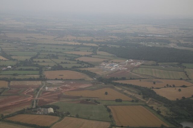
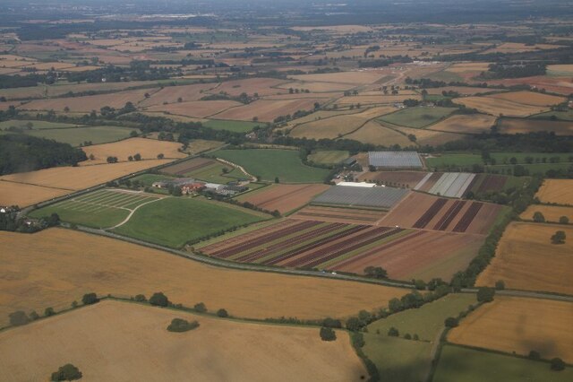
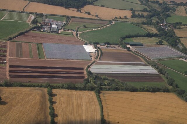
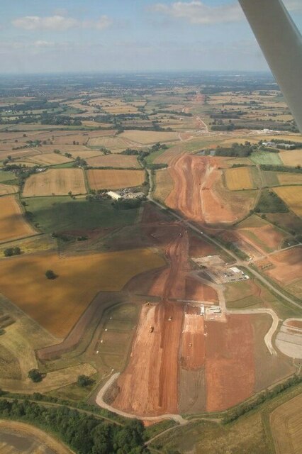
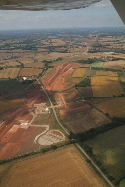
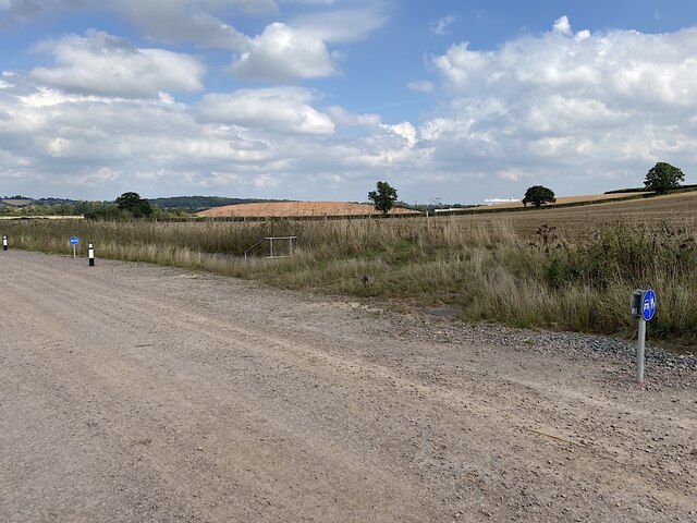
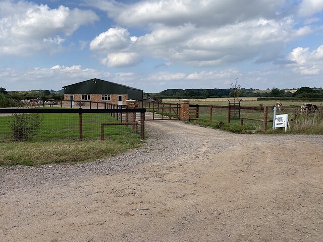
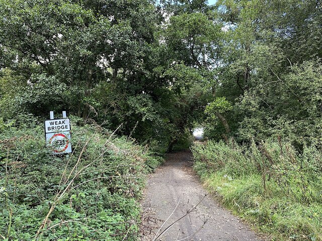
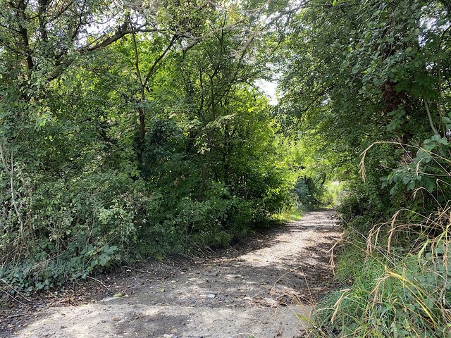
Burnt Firs is a dense wood located in the county of Warwickshire, England. Situated in the heart of the region, this forested area covers an estimated land area of several square kilometers. The wood derives its name from the presence of burnt tree stumps that were left after a devastating fire that occurred many years ago.
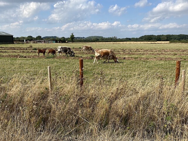
The landscape of Burnt Firs is characterized by a mix of deciduous and coniferous trees, creating a diverse and visually appealing environment. Towering oak, beech, and birch trees dominate the wood, intermingled with spruce and pine trees. This variety of tree species provides a rich habitat for numerous wildlife species, including deer, foxes, badgers, and a wide array of bird species.
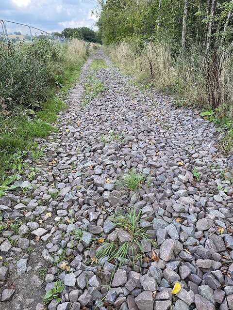
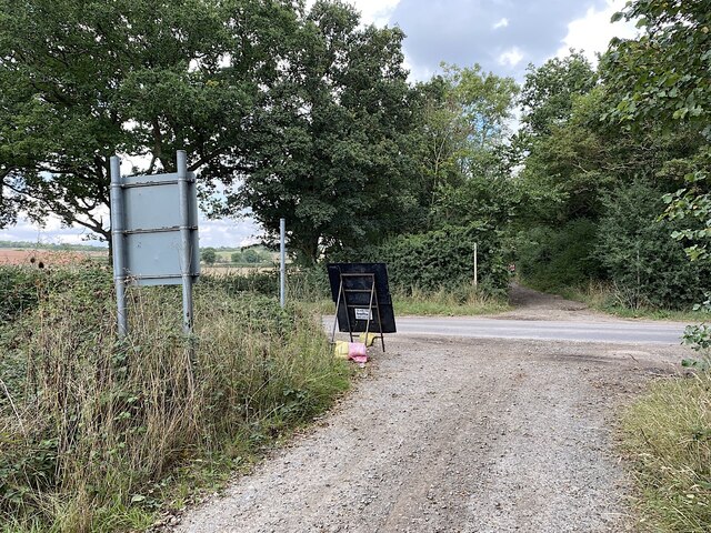
The forest floor of Burnt Firs is covered with a thick layer of mosses, ferns, and various wildflowers, adding to the natural beauty of the area. Numerous walking trails wind through the wood, offering visitors the opportunity to explore its enchanting scenery and discover its hidden treasures. These trails are well-maintained and suitable for visitors of all ages and fitness levels.
Burnt Firs is a popular destination for nature enthusiasts, hikers, and photographers, who are drawn to its peaceful atmosphere and stunning vistas. The wood also serves as a valuable educational resource, as it provides a hands-on learning experience for students studying ecology and forestry.
Overall, Burnt Firs in Warwickshire offers a captivating and biodiverse woodland experience, making it a cherished natural gem in the heart of England.
If you have any feedback on the listing, please let us know in the comments section below.
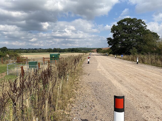
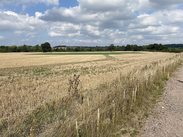
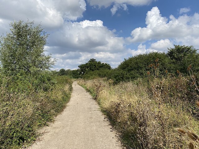
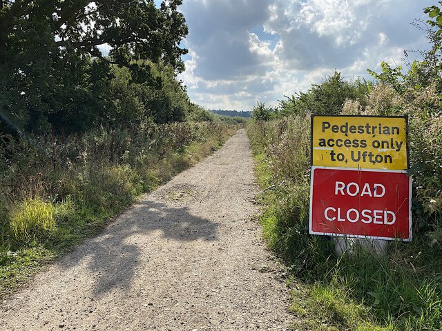
Burnt Firs Images
Images are sourced within 2km of 52.284002/-1.4519687 or Grid Reference SP3765. Thanks to Geograph Open Source API. All images are credited.
Burnt Firs is located at Grid Ref: SP3765 (Lat: 52.284002, Lng: -1.4519687)
Administrative County: Warwickshire
District: Warwick
Police Authority: Warwickshire
What 3 Words
///joystick.courtyard.funny. Near Long Itchington, Warwickshire
Nearby Locations
Related Wikis

Offchurch
Offchurch is a village and civil parish on the River Leam, 3 miles (4.8 km) east of Leamington Spa in Warwickshire. The population of the civil parish...

Bascote Locks
Bascote locks form a flight of four locks on the Grand Union Canal, which is part of the British canal system and connects London and Birmingham. The lock...

Hunningham
Hunningham is a small village and civil parish in Warwickshire, England. It is 3 miles to the north-east of Leamington Spa, within the Radford Semele ward...

Radford Semele
Radford Semele is a village and civil parish in Warwickshire, England, situated close to the Regency spa town of Leamington Spa. According to the 2001...

Offchurch Bury
Offchurch Bury is a manor house one mile north-west of the centre of the village of Offchurch, Warwickshire, England. It is supposed to represent the...

Cubbington Pear Tree
The Cubbington Pear Tree was a wild pear tree located near Cubbington in Warwickshire, England. Around 250 years old, it was the second largest wild pear...

Ufton Fields
Ufton Fields is a biological Site of Special Scientific Interest and local nature reserve in Warwickshire, England. It is situated on the A425 close to...
Bascote
Bascote is a hamlet in rural Warwickshire, England. Population details can be found under Long Itchington. The nearest town is Southam, 1.5 miles away...
Nearby Amenities
Located within 500m of 52.284002,-1.4519687Have you been to Burnt Firs?
Leave your review of Burnt Firs below (or comments, questions and feedback).