Hare Park High Wood
Wood, Forest in Yorkshire
England
Hare Park High Wood
Hare Park High Wood is a picturesque woodland located in Yorkshire, England. Covering an area of approximately 200 acres, it is known for its natural beauty and diverse ecosystem. The woodland is situated near the village of Hare Park, which is nestled in the rolling hills of the Yorkshire countryside.
The wood is primarily made up of native broadleaf trees, such as oak, beech, and ash, which provide a rich habitat for a wide range of flora and fauna. Walking through the wood, visitors can expect to see a carpet of bluebells in the spring, while in the summer, the woodland floor is adorned with wildflowers.
The wood is also home to a variety of wildlife, including deer, foxes, badgers, and numerous bird species. It is a popular destination for birdwatchers, as it attracts a diverse range of birds throughout the year, including woodpeckers, owls, and warblers.
Hare Park High Wood offers several walking trails that wind through the woodland, providing visitors with the opportunity to explore its natural wonders. The trails vary in length and difficulty, catering to all levels of fitness and interest. Along the trails, there are informative signs that highlight points of interest, such as ancient trees or historical landmarks.
Overall, Hare Park High Wood is a tranquil and enchanting woodland that offers a peaceful retreat for nature lovers and outdoor enthusiasts. Its stunning beauty and abundant wildlife make it a must-visit destination for those seeking to immerse themselves in the natural wonders of Yorkshire.
If you have any feedback on the listing, please let us know in the comments section below.
Hare Park High Wood Images
Images are sourced within 2km of 53.650173/-1.4344665 or Grid Reference SE3717. Thanks to Geograph Open Source API. All images are credited.


![Peak & Northern Footpaths Society sign #364 One of several signs erected by the society on footpaths around Anglers Country Park. For detail see <a href="https://www.geograph.org.uk/photo/6923282">SE3715 : Peak &amp; Northern Footpaths Society sign #364</a>]](https://s1.geograph.org.uk/geophotos/06/92/32/6923281_6374e94a.jpg)


Hare Park High Wood is located at Grid Ref: SE3717 (Lat: 53.650173, Lng: -1.4344665)
Division: West Riding
Unitary Authority: Wakefield
Police Authority: West Yorkshire
What 3 Words
///thrashing.excellent.heartless. Near Crofton, West Yorkshire
Nearby Locations
Related Wikis
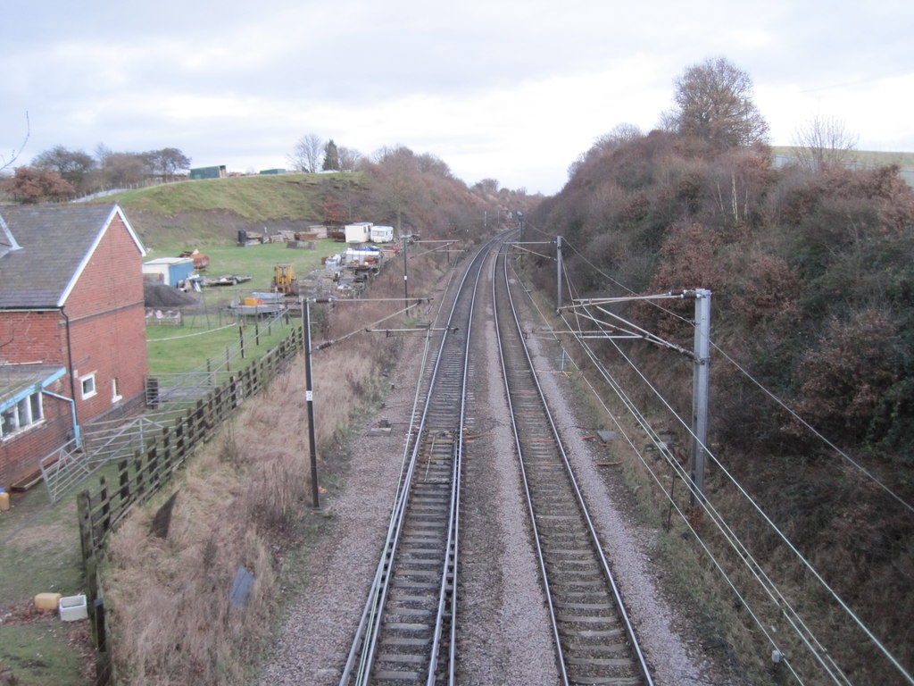
Hare Park & Crofton railway station
Hare Park & Crofton railway station, sometimes just known as Crofton railway station, was a station located on the West Riding and Grimsby Railway, this...

Crofton Academy
Crofton Academy (formerly Crofton High School) is an 11-16 state secondary school outside Wakefield in West Yorkshire, England. The school is also an academy...

Crofton, West Yorkshire
Crofton is a village in West Yorkshire, England, about 4 miles (6 km) south-east of Wakefield, some 6 miles (10 km) to the west of the town of Pontefract...
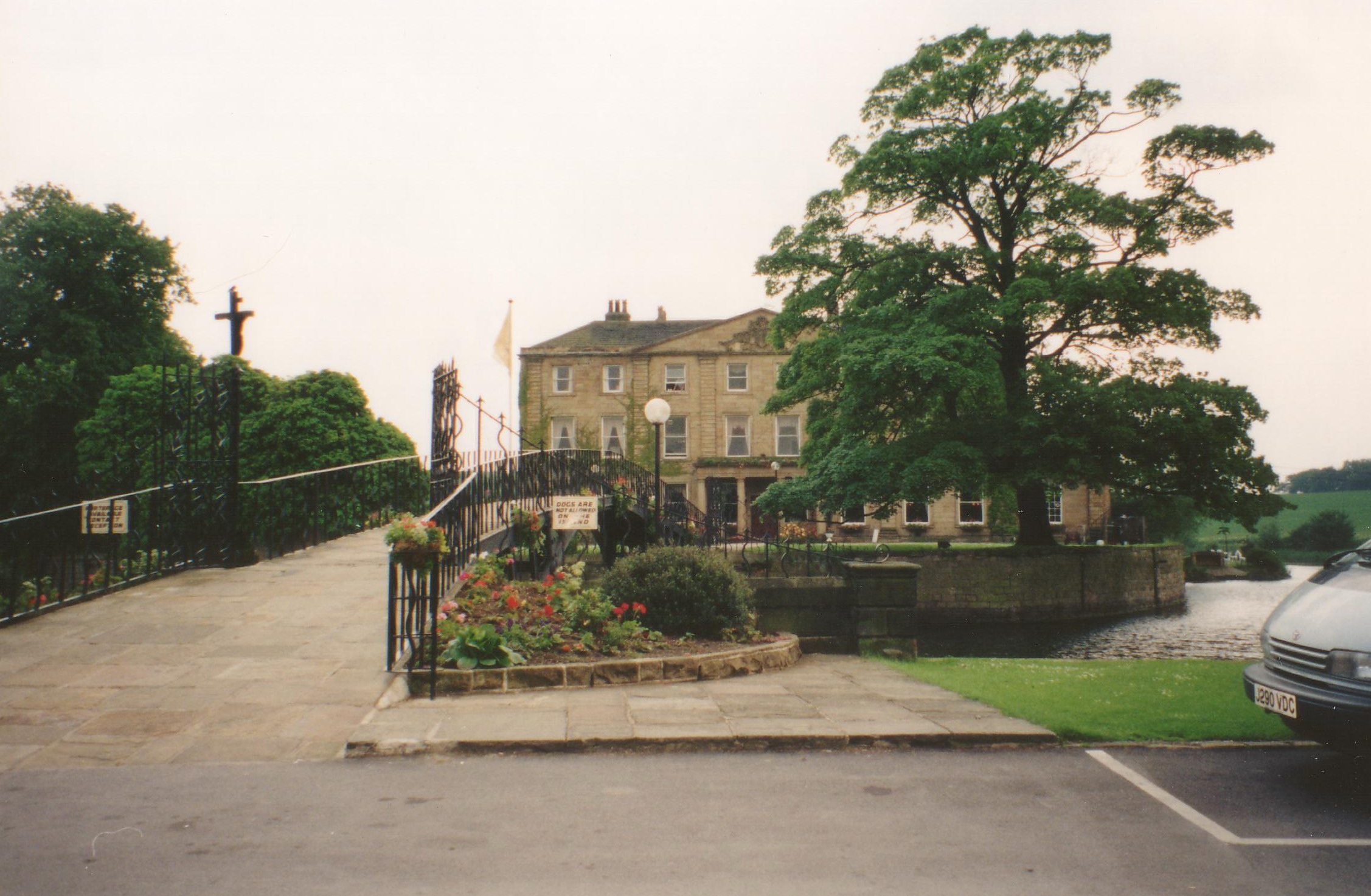
Walton Hall, West Yorkshire
Walton Hall is a country house in Walton near Wakefield in West Yorkshire, England. It was built on the site of a former moated medieval hall in the Palladian...
Nearby Amenities
Located within 500m of 53.650173,-1.4344665Have you been to Hare Park High Wood?
Leave your review of Hare Park High Wood below (or comments, questions and feedback).