Devonshire Wood

Wood, Forest in Yorkshire Harrogate

England

Devonshire Wood

Woodhall Bridge Woodhall Bridge over the River Wharfe
Nr East Keswick
Woodhall Bridge Credit: Martin Norman

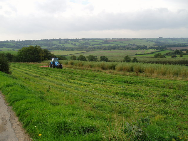
Devonshire Wood is a picturesque woodland located in the county of Yorkshire, England. Situated within the larger region known as the Yorkshire Dales, this charming forest covers an area of approximately 500 acres and is renowned for its natural beauty and diverse ecosystem.

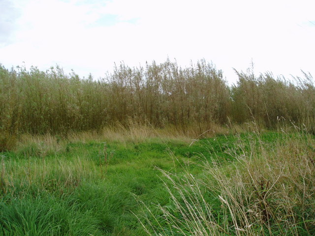
The wood is characterized by its dense foliage, consisting mostly of oak, beech, and birch trees. These towering giants provide a lush canopy, creating a serene and shaded atmosphere within the forest. The forest floor is carpeted with a rich diversity of flora, including wildflowers, ferns, and mosses, which thrive in the damp and fertile environment.

Devonshire Wood is home to a wide variety of wildlife, making it a popular destination for nature enthusiasts. Numerous species of birds, such as woodpeckers, owls, and thrushes, can be spotted among the treetops, while small mammals like squirrels, badgers, and foxes roam the forest floor. The wood also boasts a thriving population of deer, adding a touch of elegance to the landscape.

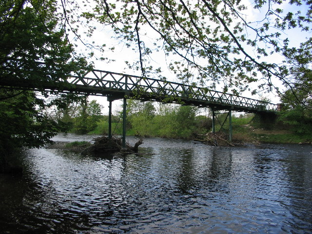
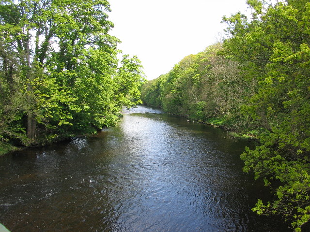
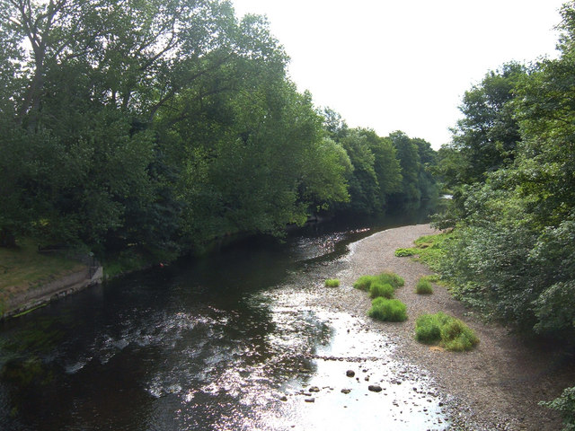
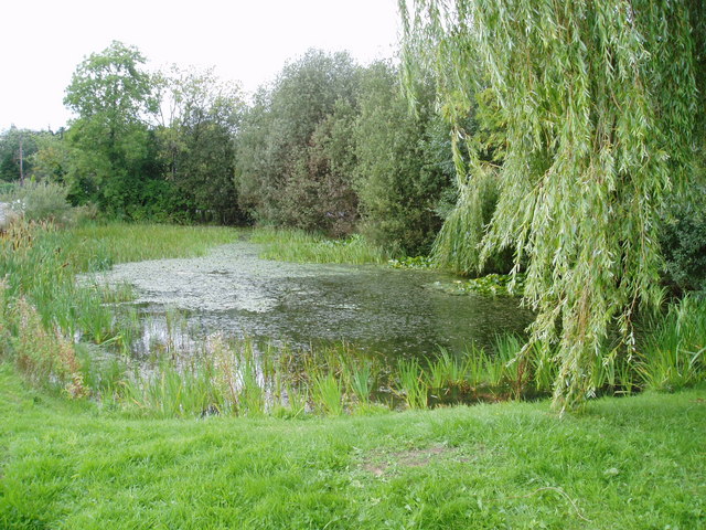
Visitors to Devonshire Wood can explore its many winding trails, offering a tranquil escape from the hustle and bustle of everyday life. These paths lead to hidden clearings and secluded ponds, providing the perfect spots for picnics or quiet contemplation. The forest is also intersected by a gentle stream, which adds to its charm and provides a refreshing backdrop for leisurely walks.

Overall, Devonshire Wood is a natural gem nestled in the heart of Yorkshire. Its enchanting woodland setting, abundant wildlife, and peaceful ambiance make it a must-visit destination for nature lovers and those seeking a moment of tranquility amidst the beauty of the Yorkshire Dales.

If you have any feedback on the listing, please let us know in the comments section below.

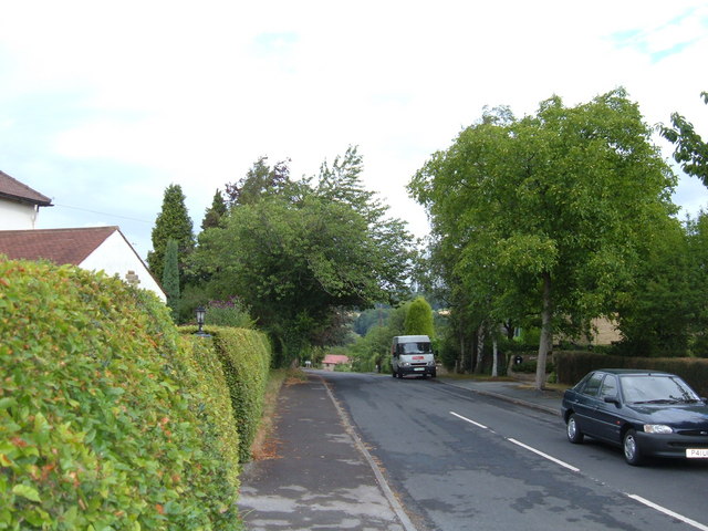
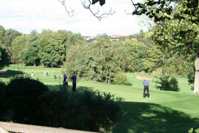
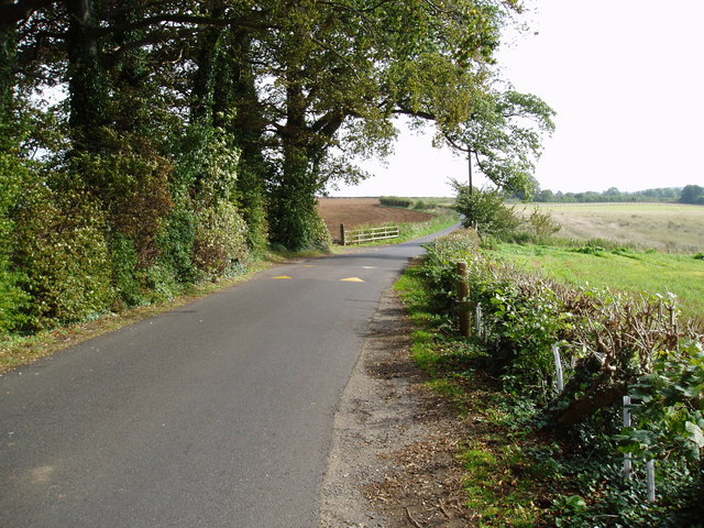
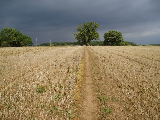
Devonshire Wood Images

Images are sourced within 2km of 53.923126/-1.4349273 or Grid Reference SE3747. Thanks to Geograph Open Source API. All images are credited.

Woodhall Bridge Woodhall Bridge over the River Wharfe
Nr East Keswick
Woodhall Bridge
Woodhall Bridge over the River Wharfe Nr East Keswick
River Wharfe, Nr East Keswick Woodhall Bridge over the River Wharfe
Nr East Keswick
River Wharfe, Nr East Keswick
Woodhall Bridge over the River Wharfe Nr East Keswick
River Wharfe from Linton Bridge The River Wharfe here forms the boundary between the villages of Linton and Collingham to the southwest of Wetherby. View downstream towards Wetherby.
River Wharfe from Linton Bridge
The River Wharfe here forms the boundary between the villages of Linton and Collingham to the southwest of Wetherby. View downstream towards Wetherby.
View from the A659 towards Rigton Hill The valley in the middle distance belongs to Collingham Beck, a tributary of the River Wharfe. The Leeds to Wetherby railway line (now dismantled) followed the valley here. The shot is taken from the western end of Collingham's built up area.
View from the A659 towards Rigton Hill
The valley in the middle distance belongs to Collingham Beck, a tributary of the River Wharfe. The Leeds to Wetherby railway line (now dismantled) followed the valley here. The shot is taken from the western end of Collingham's built up area.
Upper Langwith, LS22 Looking north from the street's junction with the A659 (Harewood Road). This street as at the western edge of Collingham and drops down to the River Wharfe. The A659 here is on a ridge between the Wharfe and Collingham Beck.
Upper Langwith, LS22
Looking north from the street's junction with the A659 (Harewood Road). This street as at the western edge of Collingham and drops down to the River Wharfe. The A659 here is on a ridge between the Wharfe and Collingham Beck.
Sicklinghall Road, North and West Yorkshire Looking west from the junction with Northgate Lane (from Linton) towards the village of Sicklinghall about 1.5 miles away. To the left of shot is West Yorkshire and to the right is North Yorkshire. The county boundary follows the white line down the middle of the road.
Sicklinghall Road, North and West Yorkshire
Looking west from the junction with Northgate Lane (from Linton) towards the village of Sicklinghall about 1.5 miles away. To the left of shot is West Yorkshire and to the right is North Yorkshire. The county boundary follows the white line down the middle of the road.
Paper Pulp Mountain near Wetherby Paper pulp is an environmentally friendly soil conditioner. This mound is waiting to be spread on local fields once the harvest has been gathered. The pulp is a waste product from the paper making industry and would have been disposed of in a landfill site.
Paper Pulp Mountain near Wetherby
Paper pulp is an environmentally friendly soil conditioner. This mound is waiting to be spread on local fields once the harvest has been gathered. The pulp is a waste product from the paper making industry and would have been disposed of in a landfill site.
Welcome to Linton A cast reconstituted stone sign on Northgate Lane.
Welcome to Linton
A cast reconstituted stone sign on Northgate Lane.
Golf Course, Linton Ings I had hoped to be able to capture the old railway running through this square but couldn't see anywhere immediately obvious where I could gain access, and I had to be elsewhere, so I had to make do with this shot of the golf course instead. Facing east, the old railway is somewhere in the trees beyond, and further on flows the River Wharfe before it passes through Wetherby town centre.
Golf Course, Linton Ings
I had hoped to be able to capture the old railway running through this square but couldn't see anywhere immediately obvious where I could gain access, and I had to be elsewhere, so I had to make do with this shot of the golf course instead. Facing east, the old railway is somewhere in the trees beyond, and further on flows the River Wharfe before it passes through Wetherby town centre.
Trip Lane The Ebor Way follows this lane, though the number of speed humps along it suggests it is popular with local rat runners as well.
Trip Lane
The Ebor Way follows this lane, though the number of speed humps along it suggests it is popular with local rat runners as well.
Footpath
Footpath
Bridleway and sign This bridleway runs beside Sicklinghall House to Woodhall Hotel along the Ebor Way.
Bridleway and sign
This bridleway runs beside Sicklinghall House to Woodhall Hotel along the Ebor Way.
Tractor at work The tractor is cutting an area of grass along the edge of plantation of willows being grown as a renewable energy crop.
Tractor at work
The tractor is cutting an area of grass along the edge of plantation of willows being grown as a renewable energy crop.
Willow Coppice on Paddock House Farm These willows are being grown to provide a source of renewable energy.
Willow Coppice on Paddock House Farm
These willows are being grown to provide a source of renewable energy.
Decorative chimneys at Paddock House Farm Each chimney on this farm house has a different pattern.
Decorative chimneys at Paddock House Farm
Each chimney on this farm house has a different pattern.
Little Paddock Cottage, Sicklinghall One of many picturesque cottages in this small North Yorkshire village.
Little Paddock Cottage, Sicklinghall
One of many picturesque cottages in this small North Yorkshire village.
Scotts Arms, Sicklinghall The original name has been removed from the front of this pub, presumably to give more prominence to the chain it now belongs to.
Scotts Arms, Sicklinghall
The original name has been removed from the front of this pub, presumably to give more prominence to the chain it now belongs to.
Sicklinghall village pond
Show me another place!

Devonshire Wood is located at Grid Ref: SE3747 (Lat: 53.923126, Lng: -1.4349273)

Division: West Riding

Administrative County: North Yorkshire

District: Harrogate

Police Authority: North Yorkshire

What 3 Words

///receive.extension.frocks. Near Collingham, West Yorkshire

Nearby Locations

Devonshire Wood

Related Wikis

Wood Hall Hotel and Spa

Wood Hall Hotel and Spa, Trip Lane, is an AA four-star, 44-room country house hotel with an AA two-rosette restaurant, about one mile from the English...

Sicklinghall

Sicklinghall is a village and civil parish in North Yorkshire, England that is situated between the town of Wetherby (3 miles (5 km) to the east) and the...

Stockeld Park

Stockeld Park is a Grade-I listed country house and estate situated between the towns of Wetherby and Harrogate, North Yorkshire, England, which is now...

The Christmas Adventure

The Christmas Adventure is a seasonal event held at the 2,000-acre (8.1 km2) Stockeld Park estate in North Yorkshire, England.Initially a supplement to...

Linton, West Yorkshire

Linton is a village in the City of Leeds metropolitan borough, in West Yorkshire, England. It is 1.5 miles (2.4 km) south-west of Wetherby Wetherby on...

Linton Bridge

Linton Bridge carries the minor road that links Collingham and Linton over the River Wharfe near Wetherby in West Yorkshire, England. The Grade II listed...

Collingham Bridge railway station

Collingham Bridge railway station was a railway station serving the villages of Collingham and Linton in West Yorkshire, England. The station opened on...

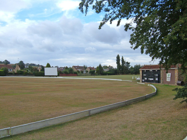
Collingham and Linton Cricket Club Ground

Collingham and Linton Cricket Club is a cricket ground in Collingham, West Yorkshire. The first recorded match on the ground was in 1896. In 1986 the...

Nearby Amenities

Located within 500m of 53.923126,-1.4349273
The data included in this document is from www.openstreetmap.org. The data is made available under ODbL.

Have you been to Devonshire Wood?

Leave your review of Devonshire Wood below (or comments, questions and feedback).