As Fawr, Yr

Settlement in Glamorgan

Wales

As Fawr, Yr

Nash Point visitor car park and cafe
Nash Point visitor car park and cafe Credit: Eirian Evans

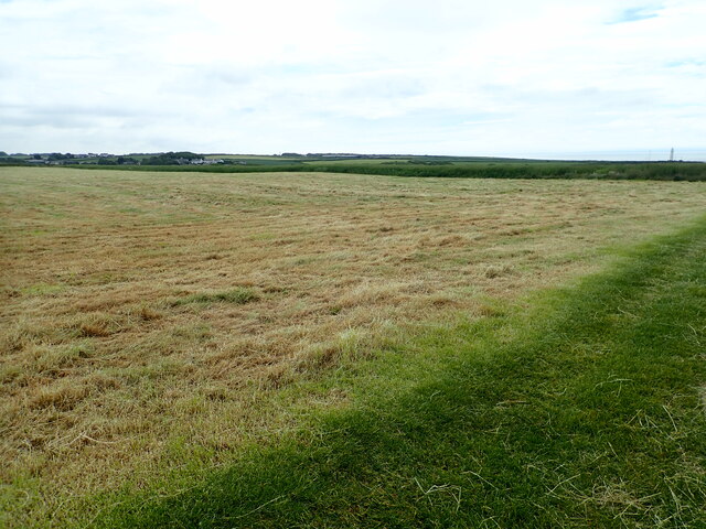
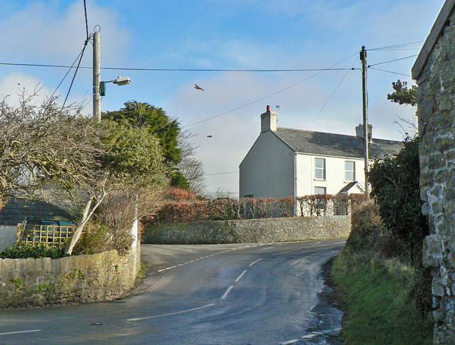
As Fawr, Yr, Glamorgan is a small village located in the county of Glamorgan, Wales. Situated near the southern coast of the country, it is nestled amidst picturesque rolling hills and lush green landscapes. The village is part of the rural Vale of Glamorgan, known for its natural beauty and tranquility.

With a population of around 1,000 residents, As Fawr embodies the charm of a traditional Welsh village. It is characterized by its quaint cottages with slate roofs, narrow winding streets, and a sense of community that is deeply rooted in its history. The village has managed to preserve its rural character, making it a popular destination for those seeking a peaceful and idyllic retreat.

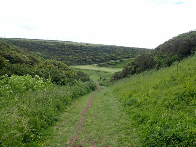
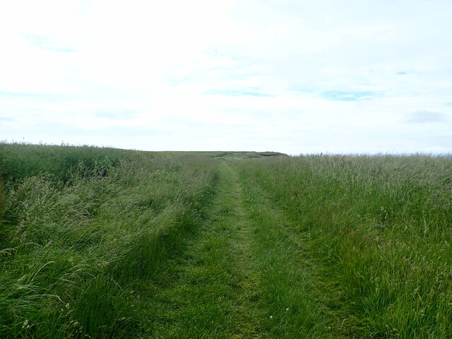
Despite its small size, As Fawr offers a range of amenities to its residents and visitors. The village has a local pub, a small grocery store, and a community center that hosts various events and activities throughout the year. The surrounding countryside provides ample opportunities for outdoor pursuits, such as hiking, cycling, and horse riding.

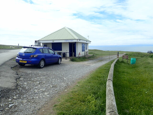
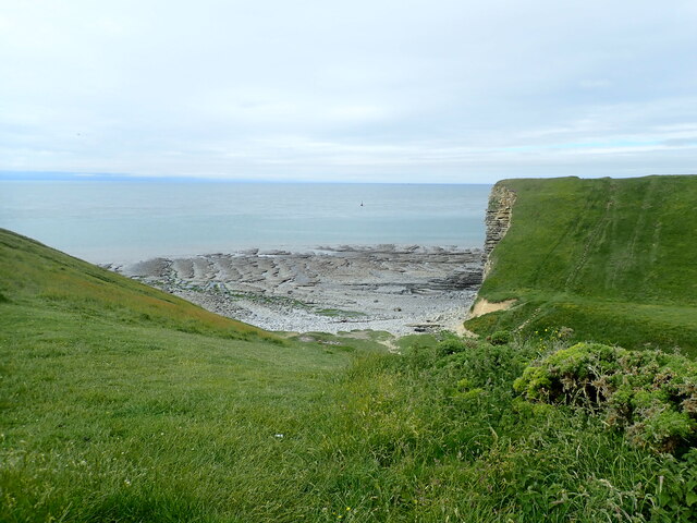
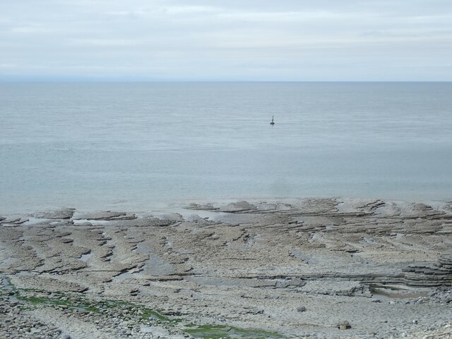
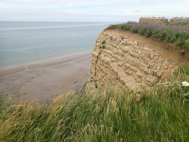
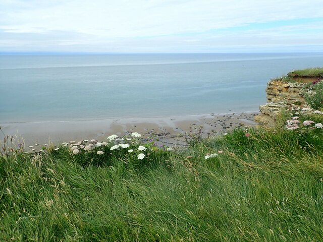
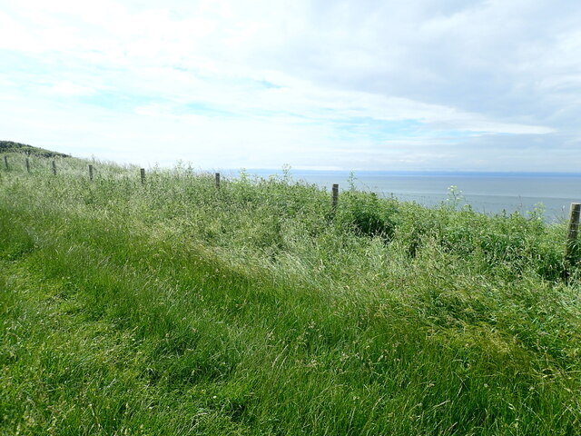
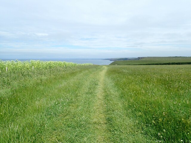
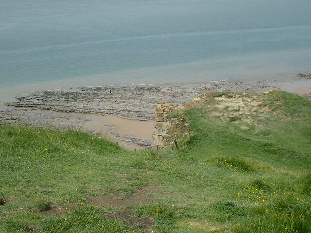
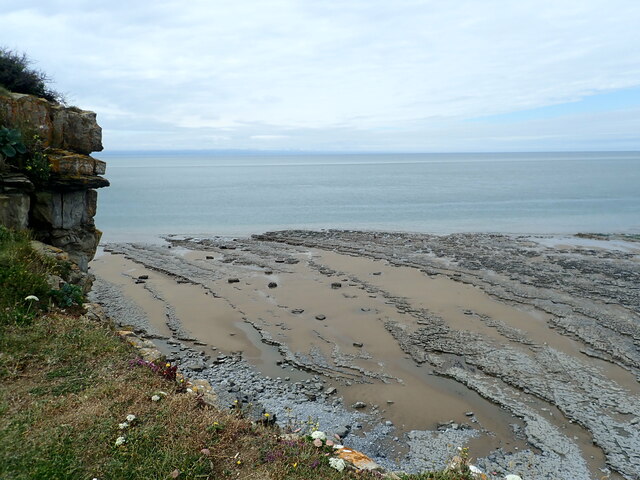
As Fawr is also known for its proximity to notable attractions in the area. The stunning coastline of the Vale of Glamorgan is just a short drive away, offering beautiful sandy beaches and dramatic cliffs. The nearby market town of Cowbridge provides additional amenities, including shops, restaurants, and a weekly farmers market.

Overall, As Fawr, Yr, Glamorgan is a charming and tranquil village that showcases the natural beauty and rich cultural heritage of Wales. It is a place where residents and visitors alike can escape the hustle and bustle of modern life and immerse themselves in the peacefulness of the countryside.

If you have any feedback on the listing, please let us know in the comments section below.
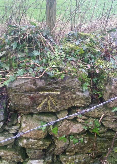
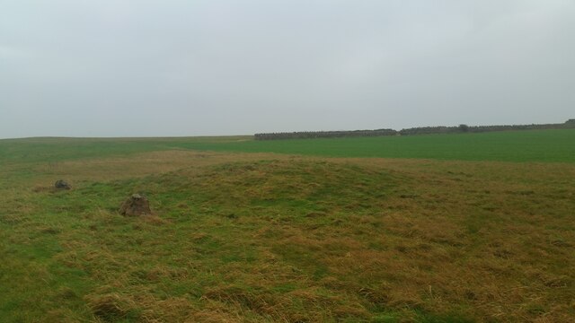
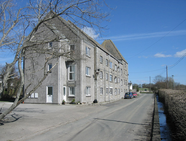
As Fawr, Yr Images

Images are sourced within 2km of 51.418501/-3.5689093 or Grid Reference SS9170. Thanks to Geograph Open Source API. All images are credited.

Nash Point visitor car park and cafe
Cove near the Clifftop Cafe At Nash Point
Cove near the Clifftop Cafe
At Nash Point
Rocky platform off Nash Point There is a buoy in the sea at centre, a cardinal direction buoy to indicate that ships and boats should navigate south of this buoy.
Rocky platform off Nash Point
There is a buoy in the sea at centre, a cardinal direction buoy to indicate that ships and boats should navigate south of this buoy.
Coast path descending to Cwm Marcross The grassy valley of the Marcross Brook
Coast path descending to Cwm Marcross
The grassy valley of the Marcross Brook
Cliff edge and sandy beach near Cwm Marcross
Field harvested for silage Marcross on the horizon to the left and Nash Point lighthouse on the right
Field harvested for silage
Marcross on the horizon to the left and Nash Point lighthouse on the right
On the Welsh Coast Path west of Marcross
Don't go too near the edge On the Welsh Coast Path between Nash Point and Monknash. A steep drop over vertical cliffs ahead.
Don't go too near the edge
On the Welsh Coast Path between Nash Point and Monknash. A steep drop over vertical cliffs ahead.
Coast Path near the cliff edge
Field near the cliff edge nearing Monknash Beach
Beach near Monknash Receding tide on the beach near Monknash revealing limestone platform and a lone fisherman
Beach near Monknash
Receding tide on the beach near Monknash revealing limestone platform and a lone fisherman
Limestone shelves near Traeth Mawr
Ordnance Survey Pivot This OS pivot can be found on a rock in the centre of the track leading to the headland fort. It marks a point 75.4ft above mean sea level.
Ordnance Survey Pivot
This OS pivot can be found on a rock in the centre of the track leading to the headland fort. It marks a point 75.4ft above mean sea level.
Ordnance Survey Cut Mark This OS cut mark can be found on the roadside barn at Pen-y-cae Farm. It marks a point 65.538m above mean sea level.
Ordnance Survey Cut Mark
This OS cut mark can be found on the roadside barn at Pen-y-cae Farm. It marks a point 65.538m above mean sea level.
Ordnance Survey Cut Mark This OS cut mark can be found on the wall next to the stile on the north side of the road. It marks a point 69.181m above mean sea level.
Ordnance Survey Cut Mark
This OS cut mark can be found on the wall next to the stile on the north side of the road. It marks a point 69.181m above mean sea level.
Remains of Wall & Gatepost
Ordnance Survey Cut Mark This OS cut mark can be found at the wall angle of the field. It marks a point 54.763m above mean sea level.
Ordnance Survey Cut Mark
This OS cut mark can be found at the wall angle of the field. It marks a point 54.763m above mean sea level.
Bronze Age Round Barrow The barrow is 12.8m in diameter, 0.6m high.
Bronze Age Round Barrow
The barrow is 12.8m in diameter, 0.6m high.
Show me another place!

As Fawr, Yr is located at Grid Ref: SS9170 (Lat: 51.418501, Lng: -3.5689093)

Unitary Authority: The Vale of Glamorgan

Police Authority: South Wales

Also known as: Monknash

What 3 Words

///asteroid.potential.ombudsman. Near Wick, Vale of Glamorgan

Nearby Locations

As Fawr, Yr

Related Wikis

Holy Trinity Church, Marcross

Holy Trinity Church is a Grade I-listed church in Marcross (part of the community of St Donats), a village in the Vale of Glamorgan, south Wales. It received...

Broughton, Vale of Glamorgan

Broughton is a small village in the western part of the Vale of Glamorgan, southeast Wales. It lies just northeast of Monknash and south of Wick. It contains...

Marcross

Marcross (Welsh: Marcroes) is a small village in the rural community of St Donats in the Vale of Glamorgan, south Wales. It consists of a public house...
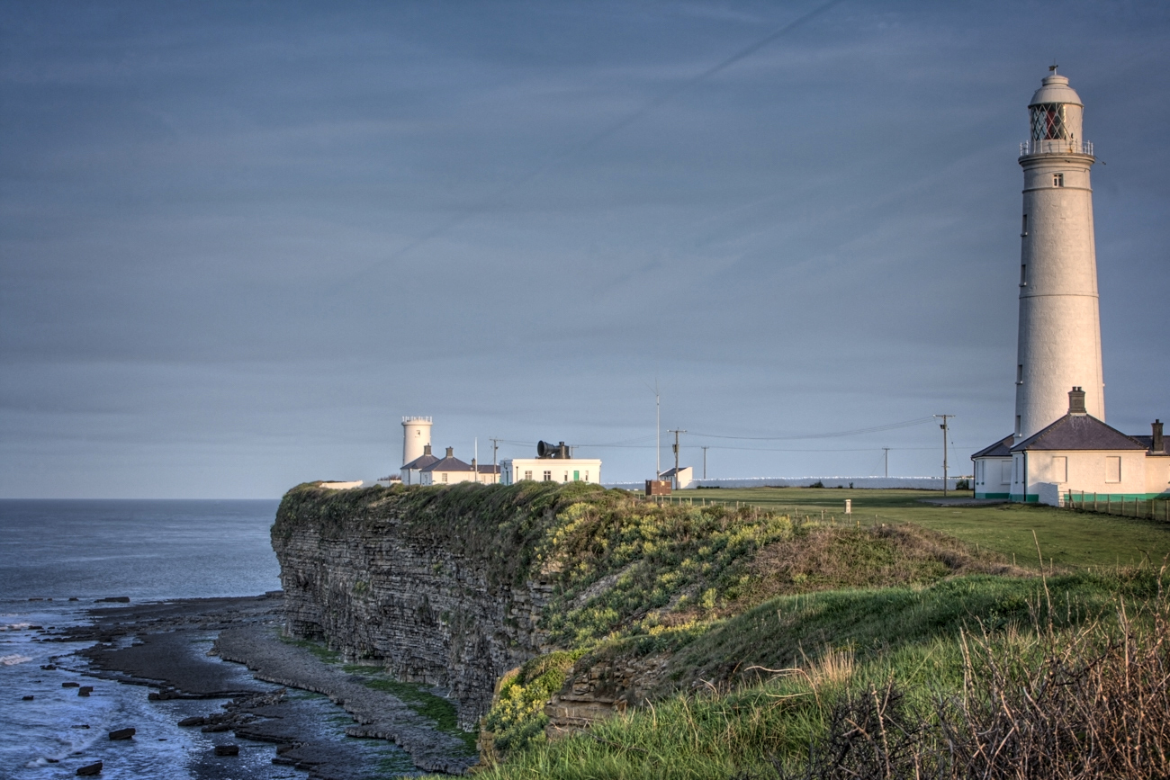
Nash Point

Nash Point (Welsh: Trwyn yr As) is a headland and beach in the Monknash Coast of the Vale of Glamorgan in south Wales, about a mile from Marcross. It is...

Nearby Amenities

Located within 500m of 51.418501,-3.5689093
Source: PGS
Lat/Long: 51.4185833/-3.5761066
Source: PGS
Lat/Long: 51.4175854/-3.5750289
Source: PGS
Lat/Long: 51.4174658/-3.5748162
Source: PGS
Lat/Long: 51.4171908/-3.5744185
Source: PGS
Lat/Long: 51.4166883/-3.5738842
Source: PGS
Lat/Long: 51.4163864/-3.5732571
Source: PGS
Lat/Long: 51.4163627/-3.57299
Source: PGS
Lat/Long: 51.4155677/-3.5714998
Source: PGS
Lat/Long: 51.4155093/-3.5712154
Source: PGS
Lat/Long: 51.4151244/-3.5707248
Source: PGS
Lat/Long: 51.4148278/-3.5702015
Created By: almien_coastlines
Source: PGS
Lat/Long: 51.414562/-3.569597
Created By: almien_coastlines
Source: PGS
Lat/Long: 51.414308/-3.569184
Created By: almien_coastlines
Source: PGS
Lat/Long: 51.414053/-3.568771
Parking
Fee: yes
Park Ride: no
Parking: surface
Supervised: no
Lat/Long: 51.4188347/-3.5650797
The data included in this document is from www.openstreetmap.org. The data is made available under ODbL.

Have you been to As Fawr, Yr?

Leave your review of As Fawr, Yr below (or comments, questions and feedback).