Widdows Wood

Wood, Forest in Oxfordshire West Oxfordshire

England

Widdows Wood

Crocuses, Charlbury We have arrived from Hook Norton where it was all snowdrops; Charlbury, it seems, is all crocuses. These are beside The Slade.
Crocuses, Charlbury Credit: Derek Harper

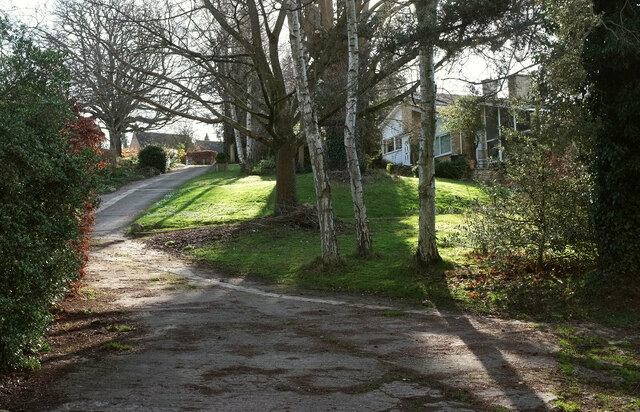
Widdows Wood is a picturesque woodland located in Oxfordshire, England. Covering an area of approximately 20 acres, it is known for its serene atmosphere and abundant wildlife. The wood is situated near the village of Widdows, just a short distance from the city of Oxford.

Widdows Wood boasts a diverse range of tree species, including oak, beech, and birch trees, which create a vibrant and lush environment throughout the year. The woodland floor is adorned with a carpet of bluebells during the springtime, offering a breathtaking sight for visitors.

The wood is a popular destination for nature enthusiasts and hikers, offering a network of well-maintained trails that wind their way through the forest. These trails provide the perfect opportunity to explore the wood's natural beauty, as well as catch a glimpse of the various wildlife that call it home. Visitors may encounter deer, foxes, badgers, and a wide variety of bird species while exploring the woodland.

In addition to its natural beauty, Widdows Wood also holds historical significance. The area has been inhabited for centuries and has remnants of ancient settlements and earthworks. These historical features contribute to the overall charm and intrigue of the wood.

Overall, Widdows Wood is a tranquil and enchanting destination in Oxfordshire, offering visitors a chance to immerse themselves in nature and experience the beauty of an English woodland. Whether it be for a peaceful walk, wildlife spotting, or a glimpse into the past, the wood provides a serene escape from the bustle of everyday life.

If you have any feedback on the listing, please let us know in the comments section below.
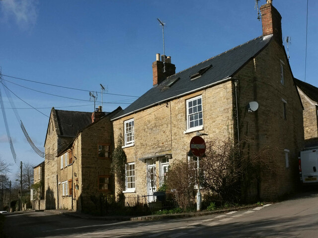
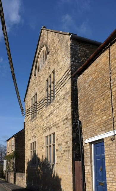
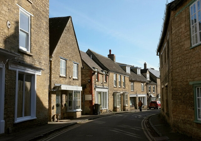
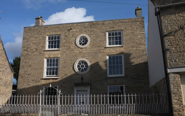
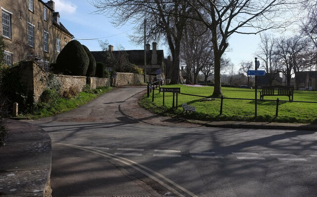
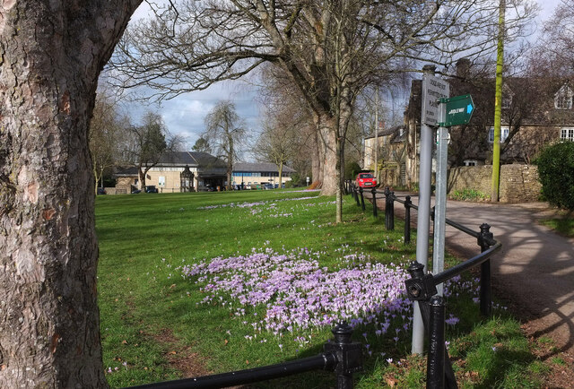
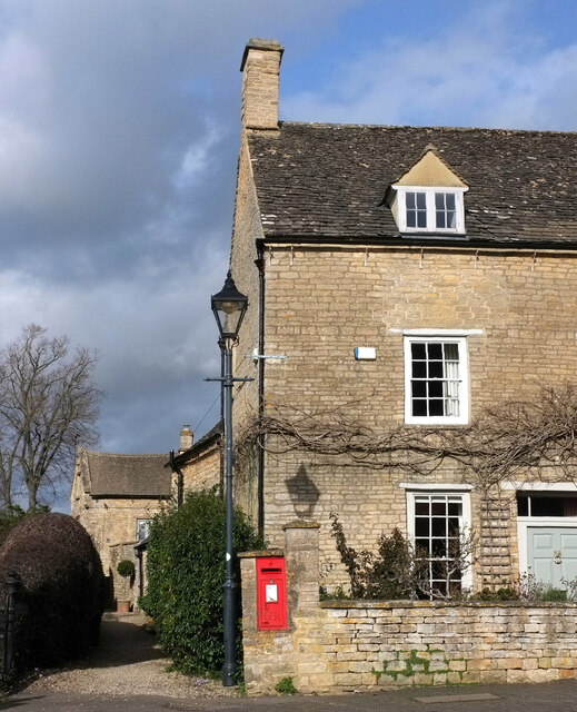
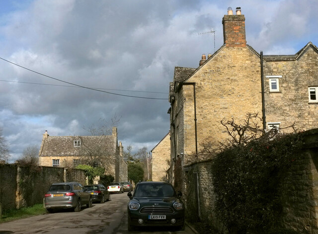
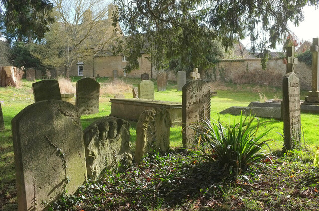
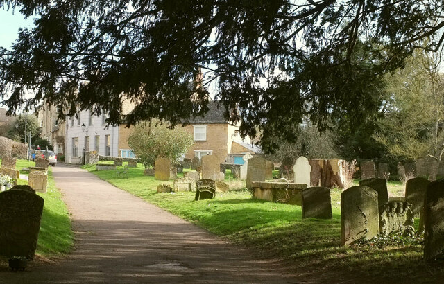
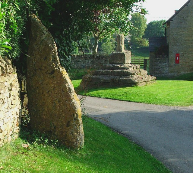
Widdows Wood Images

Images are sourced within 2km of 51.884274/-1.4668657 or Grid Reference SP3620. Thanks to Geograph Open Source API. All images are credited.

Crocuses, Charlbury We have arrived from Hook Norton where it was all snowdrops; Charlbury, it seems, is all crocuses. These are beside The Slade.
Crocuses, Charlbury
We have arrived from Hook Norton where it was all snowdrops; Charlbury, it seems, is all crocuses. These are beside The Slade.
Sandford Park, Charlbury Seen from footpath 156 15/10.
Sandford Park, Charlbury
Seen from footpath 156 15/10.
Buildings on Fisher's Lane, Charlbury A view from Pooles Lane. The tall building on the left is the Wesleyan Sunday School adjoining the Methodist Chapel and described at <span class="nowrap"><a title="https://historicengland.org.uk/listing/the-list/list-entry/1053240?section=official-listing" rel="nofollow ugc noopener" href="https://historicengland.org.uk/listing/the-list/list-entry/1053240?section=official-listing">Link</a><img style="margin-left:2px;" alt="External link" title="External link - shift click to open in new window" src="https://s1.geograph.org.uk/img/external.png" width="10" height="10"/></span> .
Buildings on Fisher's Lane, Charlbury
A view from Pooles Lane. The tall building on the left is the Wesleyan Sunday School adjoining the Methodist Chapel and described at LinkExternal link .
Wesleyan Sunday School, Charlbury The building adjoins the Methodist Chapel and they are listed and described together at <span class="nowrap"><a title="https://historicengland.org.uk/listing/the-list/list-entry/1053240?section=official-listing" rel="nofollow ugc noopener" href="https://historicengland.org.uk/listing/the-list/list-entry/1053240?section=official-listing">Link</a><img style="margin-left:2px;" alt="External link" title="External link - shift click to open in new window" src="https://s1.geograph.org.uk/img/external.png" width="10" height="10"/></span> .
Wesleyan Sunday School, Charlbury
The building adjoins the Methodist Chapel and they are listed and described together at LinkExternal link .
Methodist chapel and Sunday school, Charlbury "1823 on gable of chapel; 1844 on school ..." <span class="nowrap"><a title="https://historicengland.org.uk/listing/the-list/list-entry/1053240?section=official-listing" rel="nofollow ugc noopener" href="https://historicengland.org.uk/listing/the-list/list-entry/1053240?section=official-listing">Link</a><img style="margin-left:2px;" alt="External link" title="External link - shift click to open in new window" src="https://s1.geograph.org.uk/img/external.png" width="10" height="10"/></span> .
Methodist chapel and Sunday school, Charlbury
"1823 on gable of chapel; 1844 on school ..." LinkExternal link .
Sheep Street, Charlbury The building houses Four Shires Kitchen is listed and described at <span class="nowrap"><a title="https://historicengland.org.uk/listing/the-list/list-entry/1367841?section=official-listing" rel="nofollow ugc noopener" href="https://historicengland.org.uk/listing/the-list/list-entry/1367841?section=official-listing">Link</a><img style="margin-left:2px;" alt="External link" title="External link - shift click to open in new window" src="https://s1.geograph.org.uk/img/external.png" width="10" height="10"/></span> . The building on the left is also listed <span class="nowrap"><a title="https://historicengland.org.uk/listing/the-list/list-entry/1198459?section=official-listing" rel="nofollow ugc noopener" href="https://historicengland.org.uk/listing/the-list/list-entry/1198459?section=official-listing">Link</a><img style="margin-left:2px;" alt="External link" title="External link - shift click to open in new window" src="https://s1.geograph.org.uk/img/external.png" width="10" height="10"/></span> . Sheep Street, the old main route through the town, is followed by the Oxfordshire Way.
Sheep Street, Charlbury
The building houses Four Shires Kitchen is listed and described at LinkExternal link . The building on the left is also listed LinkExternal link . Sheep Street, the old main route through the town, is followed by the Oxfordshire Way.
Grandchester House, Charlbury "Once a school for young ladies" <span class="nowrap"><a title="https://www.britainexpress.com/photo.htm?photo=222" rel="nofollow ugc noopener" href="https://www.britainexpress.com/photo.htm?photo=222">Link</a><img style="margin-left:2px;" alt="External link" title="External link - shift click to open in new window" src="https://s1.geograph.org.uk/img/external.png" width="10" height="10"/></span> . The house, with twin bulls-eye windows, is listed and described at <span class="nowrap"><a title="https://historicengland.org.uk/listing/the-list/list-entry/1053217?section=official-listing" rel="nofollow ugc noopener" href="https://historicengland.org.uk/listing/the-list/list-entry/1053217?section=official-listing">Link</a><img style="margin-left:2px;" alt="External link" title="External link - shift click to open in new window" src="https://s1.geograph.org.uk/img/external.png" width="10" height="10"/></span> . Also listed are the "dwarf stone wall with coping has spearhead iron railings and gate with overthrow and small urn-shaped finial" <span class="nowrap"><a title="https://historicengland.org.uk/listing/the-list/list-entry/1198536?section=official-listing" rel="nofollow ugc noopener" href="https://historicengland.org.uk/listing/the-list/list-entry/1198536?section=official-listing">Link</a><img style="margin-left:2px;" alt="External link" title="External link - shift click to open in new window" src="https://s1.geograph.org.uk/img/external.png" width="10" height="10"/></span> .
Grandchester House, Charlbury
"Once a school for young ladies" LinkExternal link . The house, with twin bulls-eye windows, is listed and described at LinkExternal link . Also listed are the "dwarf stone wall with coping has spearhead iron railings and gate with overthrow and small urn-shaped finial" LinkExternal link .
The Playing Close, Charlbury The north corner of the green. On the left is Sycamore Close <span class="nowrap"><a title="https://historicengland.org.uk/listing/the-list/list-entry/1367819?section=official-listing" rel="nofollow ugc noopener" href="https://historicengland.org.uk/listing/the-list/list-entry/1367819?section=official-listing">Link</a><img style="margin-left:2px;" alt="External link" title="External link - shift click to open in new window" src="https://s1.geograph.org.uk/img/external.png" width="10" height="10"/></span> . The C19 iron railings surrounding the green are also listed <span class="nowrap"><a title="https://historicengland.org.uk/listing/the-list/list-entry/1283874?section=official-listing" rel="nofollow ugc noopener" href="https://historicengland.org.uk/listing/the-list/list-entry/1283874?section=official-listing">Link</a><img style="margin-left:2px;" alt="External link" title="External link - shift click to open in new window" src="https://s1.geograph.org.uk/img/external.png" width="10" height="10"/></span> .
The Playing Close, Charlbury
The north corner of the green. On the left is Sycamore Close LinkExternal link . The C19 iron railings surrounding the green are also listed LinkExternal link .
Crocuses, The Playing Close, Charlbury At the eastern corner of the green; the north corner appears in <a href="https://www.geograph.org.uk/photo/7094375">SP3519 : The Playing Close, Charlbury</a>. The railings are described at <span class="nowrap"><a title="https://historicengland.org.uk/listing/the-list/list-entry/1283874?section=official-listing" rel="nofollow ugc noopener" href="https://historicengland.org.uk/listing/the-list/list-entry/1283874?section=official-listing">Link</a><img style="margin-left:2px;" alt="External link" title="External link - shift click to open in new window" src="https://s1.geograph.org.uk/img/external.png" width="10" height="10"/></span> . At the far end of the green is the memorial fountain described at <span class="nowrap"><a title="https://historicengland.org.uk/listing/the-list/list-entry/1283841?section=official-listing" rel="nofollow ugc noopener" href="https://historicengland.org.uk/listing/the-list/list-entry/1283841?section=official-listing">Link</a><img style="margin-left:2px;" alt="External link" title="External link - shift click to open in new window" src="https://s1.geograph.org.uk/img/external.png" width="10" height="10"/></span> .
Crocuses, The Playing Close, Charlbury
At the eastern corner of the green; the north corner appears in SP3519 : The Playing Close, Charlbury. The railings are described at LinkExternal link . At the far end of the green is the memorial fountain described at LinkExternal link .
The Manor House, Charlbury The listed house <span class="nowrap"><a title="https://historicengland.org.uk/listing/the-list/list-entry/1053273?section=official-listing" rel="nofollow ugc noopener" href="https://historicengland.org.uk/listing/the-list/list-entry/1053273?section=official-listing">Link</a><img style="margin-left:2px;" alt="External link" title="External link - shift click to open in new window" src="https://s1.geograph.org.uk/img/external.png" width="10" height="10"/></span> is on Church Street beside the eastern entrance to the churchyard. Glimpsed down the side alley, Minster Cottage is also listed <span class="nowrap"><a title="https://historicengland.org.uk/listing/the-list/list-entry/1283962?section=official-listing" rel="nofollow ugc noopener" href="https://historicengland.org.uk/listing/the-list/list-entry/1283962?section=official-listing">Link</a><img style="margin-left:2px;" alt="External link" title="External link - shift click to open in new window" src="https://s1.geograph.org.uk/img/external.png" width="10" height="10"/></span> . The George V postbox is numbered OX7 165.
The Manor House, Charlbury
The listed house LinkExternal link is on Church Street beside the eastern entrance to the churchyard. Glimpsed down the side alley, Minster Cottage is also listed LinkExternal link . The George V postbox is numbered OX7 165.
Crocuses by the church, Charlbury St Mary's church is grade I listed <span class="nowrap"><a title="https://historicengland.org.uk/listing/the-list/list-entry/1053232?section=official-listing" rel="nofollow ugc noopener" href="https://historicengland.org.uk/listing/the-list/list-entry/1053232?section=official-listing">Link</a><img style="margin-left:2px;" alt="External link" title="External link - shift click to open in new window" src="https://s1.geograph.org.uk/img/external.png" width="10" height="10"/></span> .
Crocuses by the church, Charlbury
St Mary's church is grade I listed LinkExternal link .
Houses, Charlbury On Church Lane. Just ahead is Queen's Own, "an early-C18 house raised in the C19 with a fine, three-storey stone facade in the centre of Charlbury and next to the Grade II St. Mary's Church" <span class="nowrap"><a title="https://historicengland.org.uk/listing/the-list/list-entry/1061367?section=official-listing" rel="nofollow ugc noopener" href="https://historicengland.org.uk/listing/the-list/list-entry/1061367?section=official-listing">Link</a><img style="margin-left:2px;" alt="External link" title="External link - shift click to open in new window" src="https://s1.geograph.org.uk/img/external.png" width="10" height="10"/></span> . Also listed on the left is The Willows <span class="nowrap"><a title="https://historicengland.org.uk/listing/the-list/list-entry/1053268?section=official-listing" rel="nofollow ugc noopener" href="https://historicengland.org.uk/listing/the-list/list-entry/1053268?section=official-listing">Link</a><img style="margin-left:2px;" alt="External link" title="External link - shift click to open in new window" src="https://s1.geograph.org.uk/img/external.png" width="10" height="10"/></span> .
Houses, Charlbury
On Church Lane. Just ahead is Queen's Own, "an early-C18 house raised in the C19 with a fine, three-storey stone facade in the centre of Charlbury and next to the Grade II St. Mary's Church" LinkExternal link . Also listed on the left is The Willows LinkExternal link .
Headstones, Charlbury This groups of memorials are close to the door of St Mary's church. Behind the wall is a listed house <span class="nowrap"><a title="https://historicengland.org.uk/listing/the-list/list-entry/1053251?section=official-listing" rel="nofollow ugc noopener" href="https://historicengland.org.uk/listing/the-list/list-entry/1053251?section=official-listing">Link</a><img style="margin-left:2px;" alt="External link" title="External link - shift click to open in new window" src="https://s1.geograph.org.uk/img/external.png" width="10" height="10"/></span> on Park Street with a date stone of 1666.
Headstones, Charlbury
This groups of memorials are close to the door of St Mary's church. Behind the wall is a listed house LinkExternal link on Park Street with a date stone of 1666.
Crocuses, Charlbury churchyard These are close to Church Lane.
Crocuses, Charlbury churchyard
These are close to Church Lane.
Churchyard path, Charlbury From close to the church entrance, with houses on the bend of Church Street and Park Street. On the right are some of the headstones shown in <a href="https://www.geograph.org.uk/photo/7094823">SP3519 : Headstones, Charlbury</a>.
Churchyard path, Charlbury
From close to the church entrance, with houses on the bend of Church Street and Park Street. On the right are some of the headstones shown in SP3519 : Headstones, Charlbury.
Charlbury Museum Off Brown's Lane, Charlbury.
Charlbury Museum
Off Brown's Lane, Charlbury.
B4022 at Ticknell Piece Road The Slade passes the junction.
B4022 at Ticknell Piece Road
The Slade passes the junction.
B4022 at Hill Close The Slade climbs past the junction.
B4022 at Hill Close
The Slade climbs past the junction.
Show me another place!

Widdows Wood is located at Grid Ref: SP3620 (Lat: 51.884274, Lng: -1.4668657)

Administrative County: Oxfordshire

District: West Oxfordshire

Police Authority: Thames Valley

What 3 Words

///saucepan.riverbank.fencing. Near Charlbury, Oxfordshire

Related Wikis

Blenheim Farm

Blenheim Farm is a 1-hectare (2.5-acre) nature reserve near Charlbury in Oxfordshire. It is owned and managed by the Berkshire, Buckinghamshire and Oxfordshire...

Charlbury Museum

Charlbury Museum is a local museum in the town of Charlbury, Oxfordshire, England. The museum and collections are organized and run by the Charlbury Society...

Charlbury

Charlbury () is a town and civil parish in the Evenlode valley, about 6 miles (10 km) north of Witney in the West Oxfordshire district of Oxfordshire,...

Salt Way, Ditchley

Salt Way, Ditchley is a 2-hectare (4.9-acre) biological Site of Special Scientific Interest (SSSI) east of Charlbury in Oxfordshire. It is also a Local...

Charlbury railway station

Charlbury railway station is a railway station serving the town of Charlbury in Oxfordshire, England. This station and all trains serving it are operated...

Spelsbury

Spelsbury is a village and civil parish about 1.5 miles (2.4 km) north of Charlbury and about 4 miles (6.4 km) southeast of Chipping Norton, Oxfordshire...

Taston

Taston is a hamlet in Spelsbury civil parish, about 1.6 miles (2.6 km) north of Charlbury and 4 miles (6.4 km) southeast of Chipping Norton, Oxfordshire...

Ditchley Park

Ditchley Park is a country house near Charlbury in Oxfordshire, England. The estate was once the site of a Roman villa. Later it became a royal hunting...

Nearby Amenities

Located within 500m of 51.884274,-1.4668657
Cotswold View
Phone: +44 01608 810314
Tourism: camp_site
Website: https://www.cotswoldview.co.uk/
Lat/Long: 51.8856328/-1.4710859
Cafe
The Old Shed
Lat/Long: 51.8859518/-1.4712938
Power: pole
Source: Bing
Lat/Long: 51.8827032/-1.4635961
Power: pole
Source: Bing
Lat/Long: 51.8819184/-1.4619224
Banbury Hill Farm
Place: farm
Lat/Long: 51.8862856/-1.4717931
The data included in this document is from www.openstreetmap.org. The data is made available under ODbL.

Have you been to Widdows Wood?

Leave your review of Widdows Wood below (or comments, questions and feedback).