Brow Wood

Wood, Forest in Derbyshire North East Derbyshire

England

Brow Wood

Time capsule in Wessington Situated on the village green with the Horse & Jockey behind. The capsule was placed in 1977 and will be opened in 2027.
Time capsule in Wessington Credit: Bill Boaden

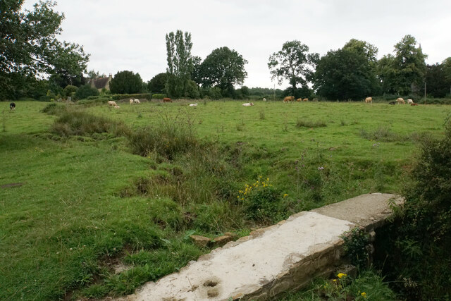
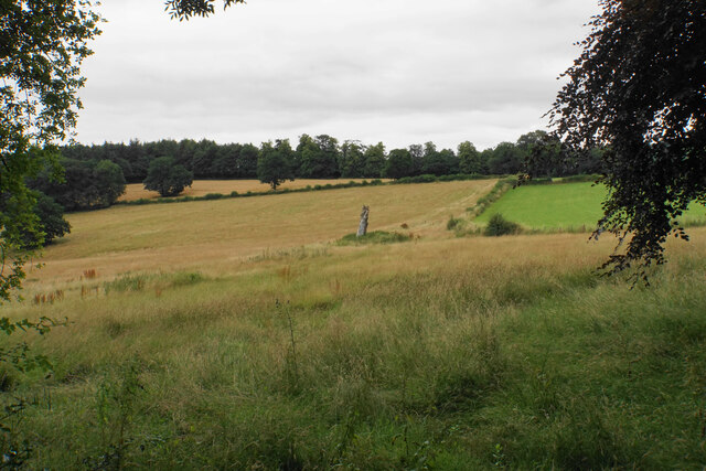
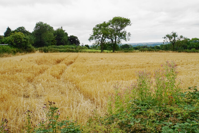
Brow Wood is a picturesque forest located in the county of Derbyshire, England. Situated near the village of Belper, the wood covers an area of approximately 20 hectares and is a popular destination for nature enthusiasts and hikers.

The wood is characterized by its diverse range of tree species, including oak, beech, and birch. These trees create a vibrant and colorful landscape throughout the year, particularly during the autumn months when the leaves turn various shades of red, orange, and gold.

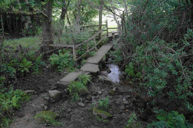
Numerous trails and footpaths crisscross Brow Wood, offering visitors the opportunity to explore its natural beauty. The paths wind through the forest, leading to hidden corners and peaceful clearings, providing a sense of tranquility and escape from the hustle and bustle of everyday life.

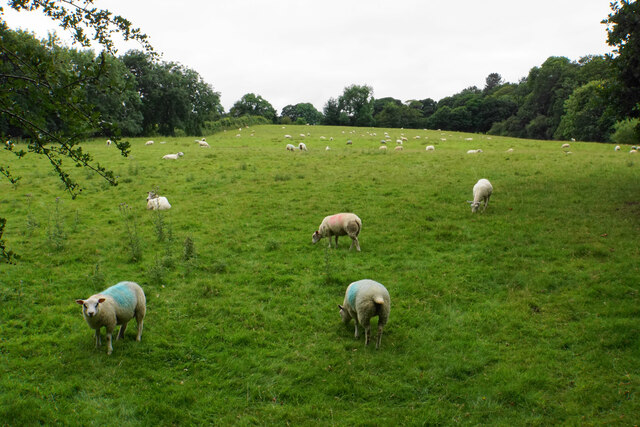
Wildlife thrives within the wood, with a variety of bird species, such as woodpeckers, tits, and finches, calling it home. Additionally, small mammals like squirrels and rabbits can often be spotted darting through the undergrowth. The wood also supports a wide range of plant life, including ferns, mosses, and wildflowers, adding to its biodiversity.

Brow Wood is well-maintained and managed by local authorities, ensuring the preservation of its natural habitat. The forest offers numerous amenities for visitors, including picnic areas, benches, and informative signposts detailing the various flora and fauna found within.

Overall, Brow Wood is a serene and enchanting destination, providing a peaceful escape for those seeking to connect with nature and enjoy the beauty of the Derbyshire countryside.

If you have any feedback on the listing, please let us know in the comments section below.
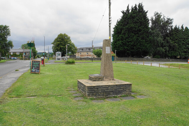
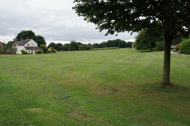
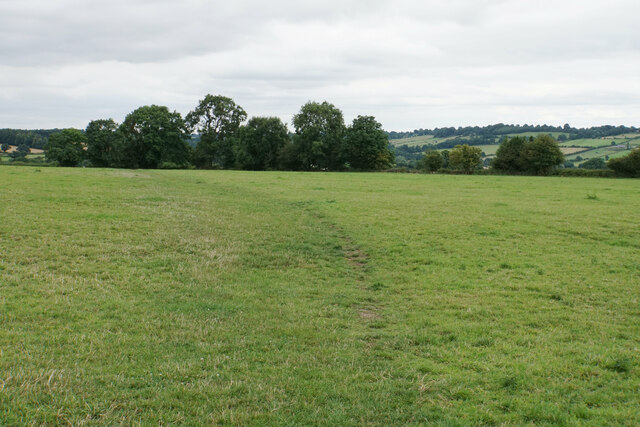
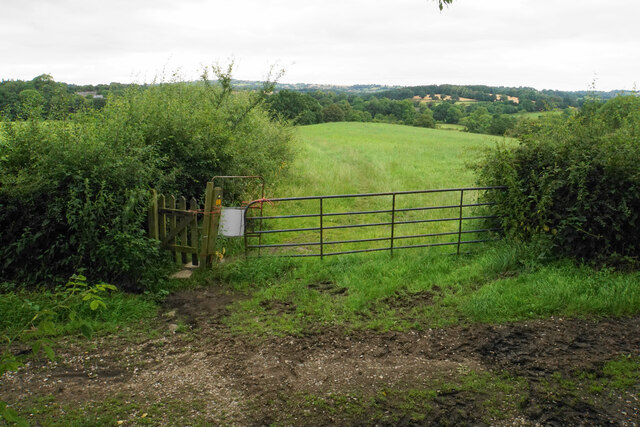
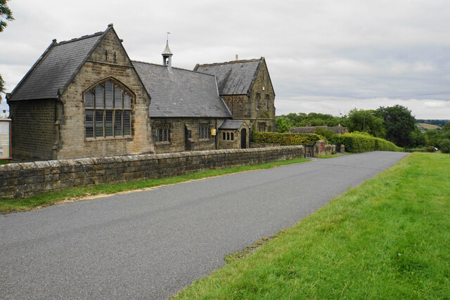
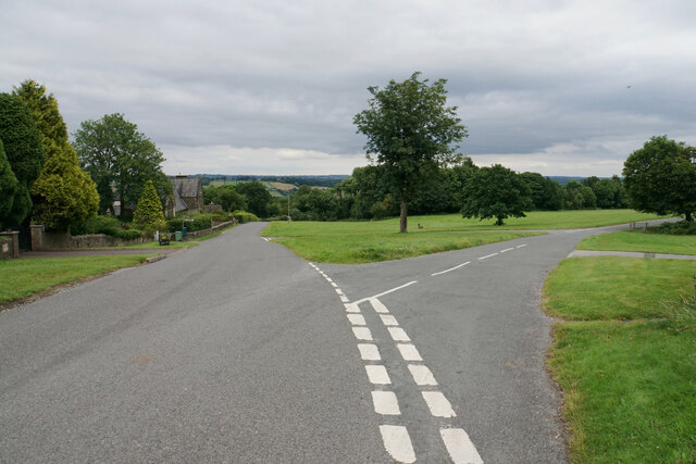
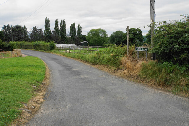
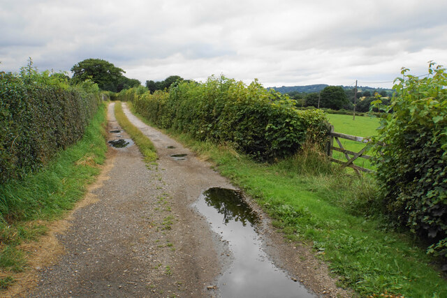
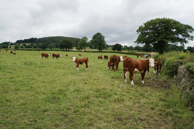
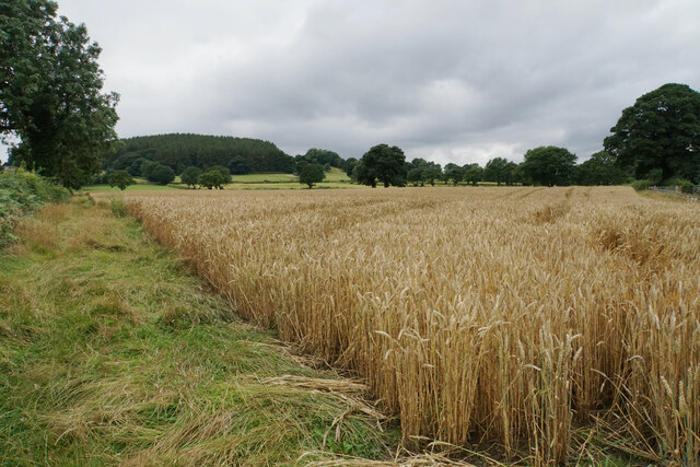
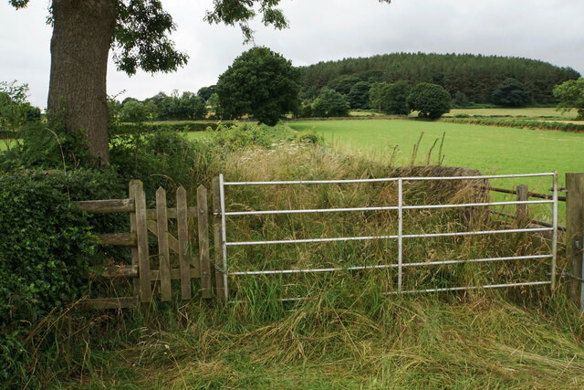
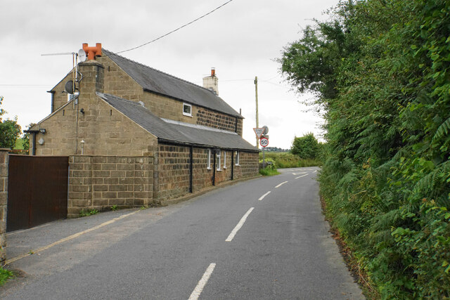
Brow Wood Images

Images are sourced within 2km of 53.115768/-1.4559481 or Grid Reference SK3657. Thanks to Geograph Open Source API. All images are credited.

Time capsule in Wessington Situated on the village green with the Horse & Jockey behind. The capsule was placed in 1977 and will be opened in 2027.
Time capsule in Wessington
Situated on the village green with the Horse & Jockey behind. The capsule was placed in 1977 and will be opened in 2027.
Village green at Wessington A small part of what is a very large green.
Village green at Wessington
A small part of what is a very large green.
Footpath to Brackenfield The path crosses fields to the north of Wessington.
Footpath to Brackenfield
The path crosses fields to the north of Wessington.
Footpath to Brackenfield There is a gentle descent along the field edge down to Winny Brook.
Footpath to Brackenfield
There is a gentle descent along the field edge down to Winny Brook.
Footpath over Winny Brook The path links Wessington and Brackenfield.
Footpath over Winny Brook
The path links Wessington and Brackenfield.
Cattle near Brackenfield The footpath in the foreground links Brackenfield with Wessington.
Cattle near Brackenfield
The footpath in the foreground links Brackenfield with Wessington.
Farmland near Brackenfield Fallow grassland opposite Church Farm.
Farmland near Brackenfield
Fallow grassland opposite Church Farm.
Sheep near Church Farm The bottom of a long slope above Ogston Reservoir which eventually gets up to Highoredish.
Sheep near Church Farm
The bottom of a long slope above Ogston Reservoir which eventually gets up to Highoredish.
The Church Hall, Brackenfield Facing the village green and available for hire.
The Church Hall, Brackenfield
Facing the village green and available for hire.
Village green at Brackenfield The large well-maintained green viewed from the top end.
Village green at Brackenfield
The large well-maintained green viewed from the top end.
Carr Lane A private farm track but in good condition at this end. It is also a public footpath.
Carr Lane
A private farm track but in good condition at this end. It is also a public footpath.
Carr Lane A farm track which incorporates a public footpath. The land slopes down to the right towards Ogston Reservoir but you cannot see it.
Carr Lane
A farm track which incorporates a public footpath. The land slopes down to the right towards Ogston Reservoir but you cannot see it.
Cattle by Carr Lane On the gentle slopes leading up to Highoredish.
Cattle by Carr Lane
On the gentle slopes leading up to Highoredish.
Wheat field above Carr Farm A footpath follows the left side of this field, but it is not well used.
Wheat field above Carr Farm
A footpath follows the left side of this field, but it is not well used.
Path up to Whitecarr Lane It was hard work wading through this overgrown path.
Path up to Whitecarr Lane
It was hard work wading through this overgrown path.
Sheep-dotted valley The valley drains into Lindwaysprings Brook and then to the River Amber. Nuttall Wood sits in the bottom.
Sheep-dotted valley
The valley drains into Lindwaysprings Brook and then to the River Amber. Nuttall Wood sits in the bottom.
Mathersgrave Lane The western end where it meets the A615.
Mathersgrave Lane
The western end where it meets the A615.
Small barley field by Mathersgrave Lane Viewed from Matlock Road.
Small barley field by Mathersgrave Lane
Viewed from Matlock Road.
Show me another place!

Brow Wood is located at Grid Ref: SK3657 (Lat: 53.115768, Lng: -1.4559481)

Administrative County: Derbyshire

District: North East Derbyshire

Police Authority: Derbyshire

What 3 Words

///feeds.pampering.curiosity. Near South Wingfield, Derbyshire

Related Wikis

Wessington

Wessington is a village and civil parish in the English county of Derbyshire. The population of the civil parish at the 2011 census was 576. It is in the...

Mathersgrave

Mathersgrave is a hamlet in Derbyshire, England. It consists of three houses on Mathers Grave Lane. This lane runs between the A615 Matlock road and School...

Brackenfield

Brackenfield is a village and civil parish in the North East Derbyshire district of Derbyshire, England. The population of the civil parish as of the 2011...

Wheatcroft, Derbyshire

Wheatcroft is a small hamlet in the hills of Amber Valley, near Crich, Derbyshire, England. Wheatcroft has no shop or church and while it once had a chapel...

Ogston Hall

Ogston Hall is a privately owned 18th-century country house situated at Brackenfield, near Alfreton, Derbyshire. It is a Grade II* listed building. A building...

South Wingfield

South Wingfield is a village and civil parish in Derbyshire, England, it is now part of the borough of Amber Valley and formerly in the Scarsdale hundred...

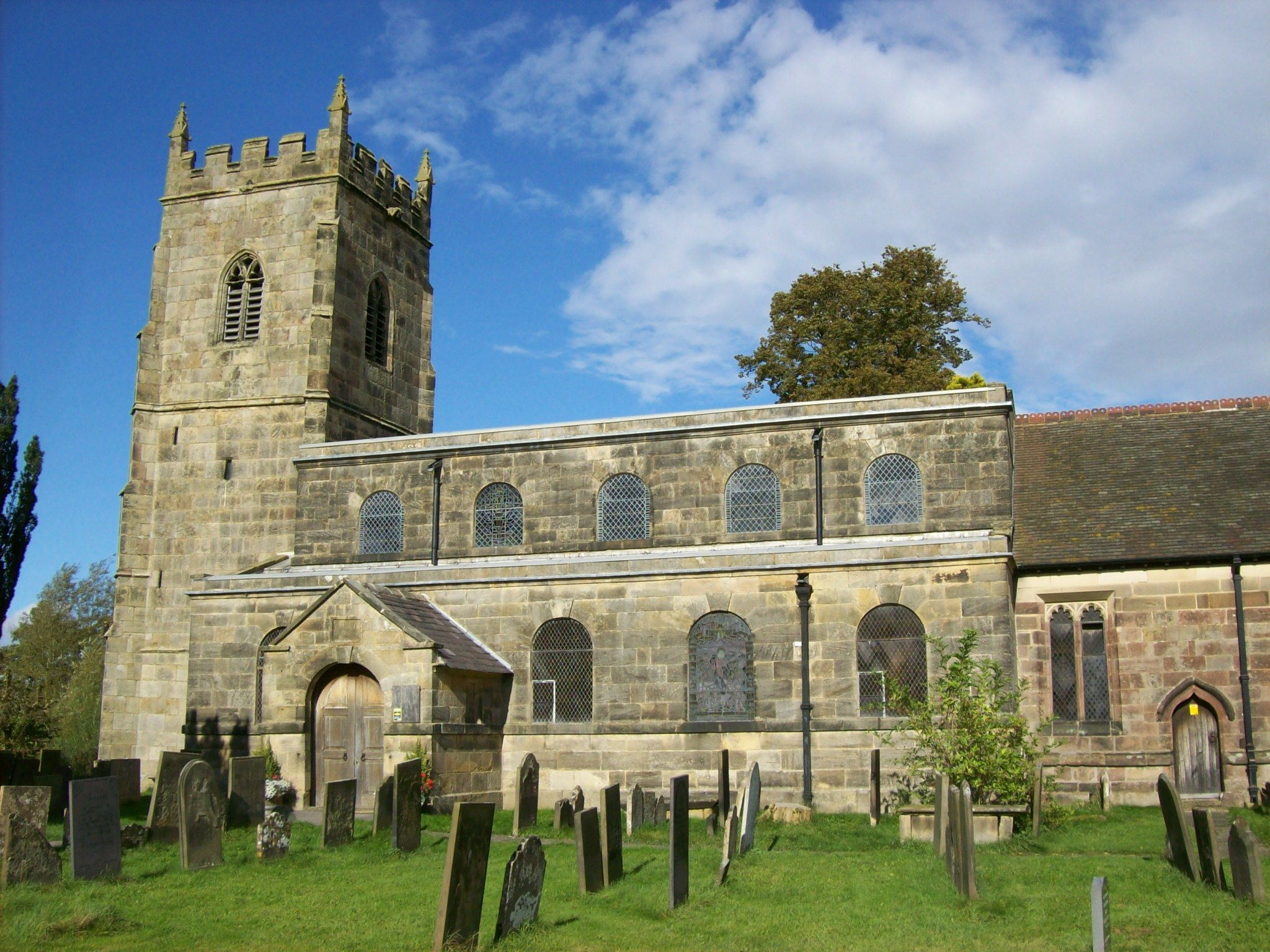
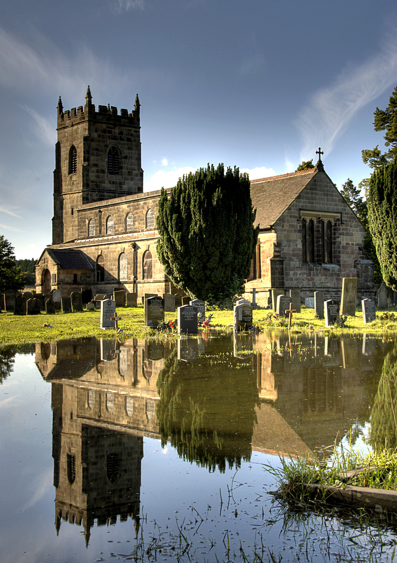
All Saints' Church, South Wingfield

All Saints’ Church, South Wingfield is a Grade II* listed parish church in the Church of England in South Wingfield, Derbyshire. == History == The church...
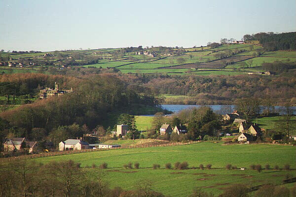
Ogston Reservoir

Ogston Reservoir is a reservoir operated by Severn Trent Water in Derbyshire. It is near the villages of Brackenfield and Ashover and the town of Clay...

Nearby Amenities

Located within 500m of 53.115768,-1.4559481
Barrier: stile
Material: wood
Steps: 1
Stile: stepover
Lat/Long: 53.1146799/-1.4539763
Barrier: stile
Material: stone
Stile: stepover
Lat/Long: 53.1135455/-1.4551716
Barrier: stile
Material: wood
Steps: 1
Stile: stepover
Lat/Long: 53.1125227/-1.4575035
Barrier: stile
Ele: 175.0845947
Steps: 1
Stile: stepover
Lat/Long: 53.1185411/-1.4532124
Post Box
Ele: 166.0000000
Post Box Design: type_m
Post Box Type: lamp
Ref: DE55 664
Lat/Long: 53.1166843/-1.4488009
Bus Stop
Bus: yes
Ele: 166.0000000
Public Transport: platform
Lat/Long: 53.1173153/-1.4490208
The data included in this document is from www.openstreetmap.org. The data is made available under ODbL.

Have you been to Brow Wood?

Leave your review of Brow Wood below (or comments, questions and feedback).