Alder Wood

Wood, Forest in Derbyshire North East Derbyshire

England

Alder Wood

Time capsule in Wessington Situated on the village green with the Horse & Jockey behind. The capsule was placed in 1977 and will be opened in 2027.
Time capsule in Wessington Credit: Bill Boaden

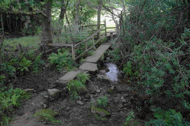
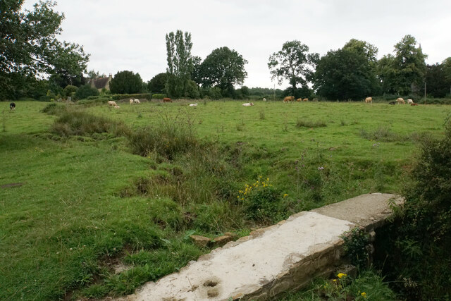
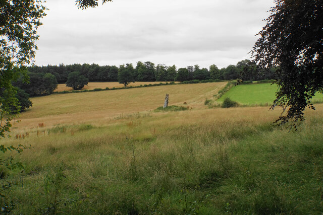
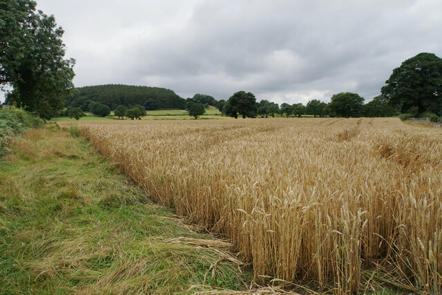
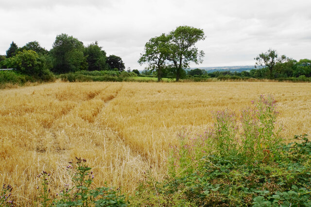
Alder Wood is a picturesque forest located in the county of Derbyshire, England. Covering an area of approximately 500 acres, this woodland is known for its stunning natural beauty and diverse range of flora and fauna.

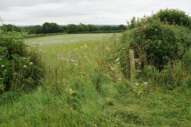
The forest is primarily composed of alder trees, which thrive in the wet and marshy conditions of the area. These trees provide a dense canopy and create a tranquil atmosphere, making it a popular destination for nature enthusiasts and hikers. The forest floor is carpeted with a rich variety of plants, including bluebells, wild garlic, and wood sorrel, adding to the charm of the woodland.

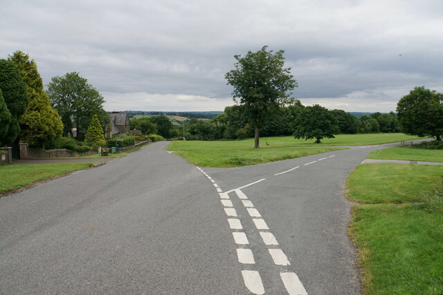
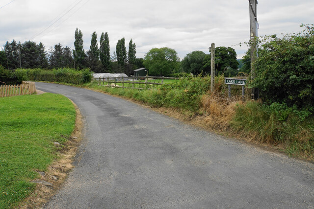
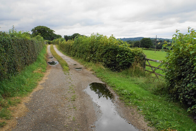
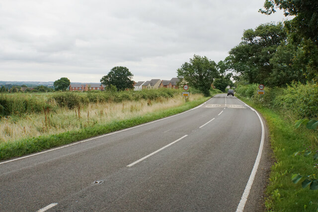
Alder Wood is crisscrossed with several well-maintained walking trails, allowing visitors to explore the forest at their own pace. These paths lead to enchanting spots, such as a serene lake and a cascading waterfall, providing ample opportunities for relaxation and photography.

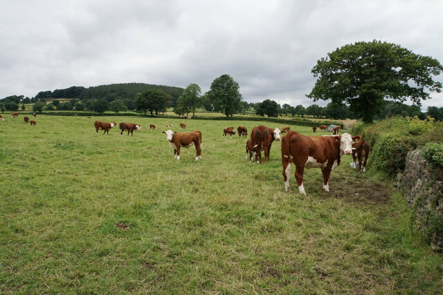
The forest is also home to a diverse range of wildlife. Birdwatchers can spot various species, including woodpeckers, owls, and kingfishers, while keen-eyed visitors may spot deer, foxes, and badgers roaming the forest floor.

Throughout the year, Alder Wood hosts various events and activities, such as guided nature walks and educational programs for children, aiming to promote the conservation of this precious natural habitat.

With its tranquil ambiance, beautiful scenery, and abundant wildlife, Alder Wood is a true gem of Derbyshire, offering visitors an escape from the hustle and bustle of everyday life and a chance to connect with nature.

If you have any feedback on the listing, please let us know in the comments section below.
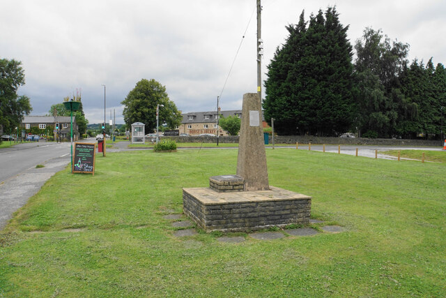
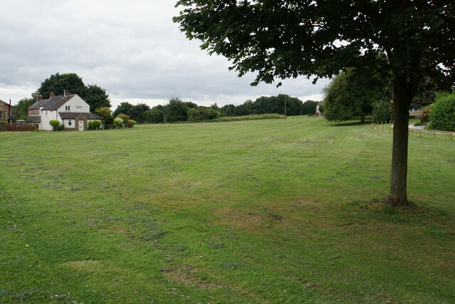
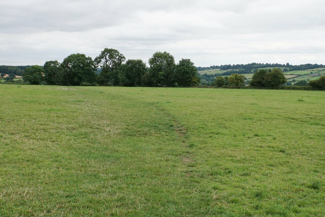
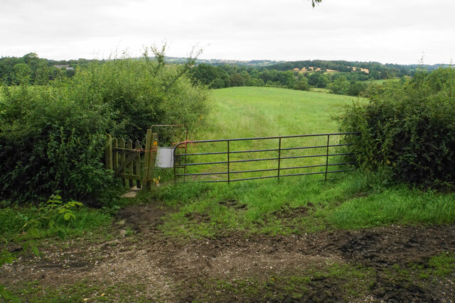
Alder Wood Images

Images are sourced within 2km of 53.111554/-1.4563598 or Grid Reference SK3657. Thanks to Geograph Open Source API. All images are credited.

Time capsule in Wessington Situated on the village green with the Horse & Jockey behind. The capsule was placed in 1977 and will be opened in 2027.
Time capsule in Wessington
Situated on the village green with the Horse & Jockey behind. The capsule was placed in 1977 and will be opened in 2027.
Village green at Wessington A small part of what is a very large green.
Village green at Wessington
A small part of what is a very large green.
Footpath to Brackenfield The path crosses fields to the north of Wessington.
Footpath to Brackenfield
The path crosses fields to the north of Wessington.
Footpath to Brackenfield There is a gentle descent along the field edge down to Winny Brook.
Footpath to Brackenfield
There is a gentle descent along the field edge down to Winny Brook.
Footpath over Winny Brook The path links Wessington and Brackenfield.
Footpath over Winny Brook
The path links Wessington and Brackenfield.
Cattle near Brackenfield The footpath in the foreground links Brackenfield with Wessington.
Cattle near Brackenfield
The footpath in the foreground links Brackenfield with Wessington.
Farmland near Brackenfield Fallow grassland opposite Church Farm.
Farmland near Brackenfield
Fallow grassland opposite Church Farm.
The Church Hall, Brackenfield Facing the village green and available for hire.
The Church Hall, Brackenfield
Facing the village green and available for hire.
Village green at Brackenfield The large well-maintained green viewed from the top end.
Village green at Brackenfield
The large well-maintained green viewed from the top end.
Carr Lane A private farm track but in good condition at this end. It is also a public footpath.
Carr Lane
A private farm track but in good condition at this end. It is also a public footpath.
Carr Lane A farm track which incorporates a public footpath. The land slopes down to the right towards Ogston Reservoir but you cannot see it.
Carr Lane
A farm track which incorporates a public footpath. The land slopes down to the right towards Ogston Reservoir but you cannot see it.
Cattle by Carr Lane On the gentle slopes leading up to Highoredish.
Cattle by Carr Lane
On the gentle slopes leading up to Highoredish.
Wheat field above Carr Farm A footpath follows the left side of this field, but it is not well used.
Wheat field above Carr Farm
A footpath follows the left side of this field, but it is not well used.
Mathersgrave Lane The western end where it meets the A615.
Mathersgrave Lane
The western end where it meets the A615.
Small barley field by Mathersgrave Lane Viewed from Matlock Road.
Small barley field by Mathersgrave Lane
Viewed from Matlock Road.
Matlock Road passing The Plough The A615 heading towards Alfreton. This part of the road is not easy to walk along, being quite narrow with no provision for pedestrians.
Matlock Road passing The Plough
The A615 heading towards Alfreton. This part of the road is not easy to walk along, being quite narrow with no provision for pedestrians.
Footpath towards Wessington There is not much evidence of the footpath but you can't go wrong. It is much preferable to walking by the A615.
Footpath towards Wessington
There is not much evidence of the footpath but you can't go wrong. It is much preferable to walking by the A615.
Matlock Road nearing Wessington North-westerly expansion of Wessington can be seen ahead.
Matlock Road nearing Wessington
North-westerly expansion of Wessington can be seen ahead.
Show me another place!

Alder Wood is located at Grid Ref: SK3657 (Lat: 53.111554, Lng: -1.4563598)

Administrative County: Derbyshire

District: North East Derbyshire

Police Authority: Derbyshire

What 3 Words

///headliner.invented.drifting. Near South Wingfield, Derbyshire

Related Wikis

Wessington

Wessington is a village and civil parish in the English county of Derbyshire. The population of the civil parish at the 2011 census was 576. It is in the...

Wheatcroft, Derbyshire

Wheatcroft is a small hamlet in the hills of Amber Valley, near Crich, Derbyshire, England. Wheatcroft has no shop or church and while it once had a chapel...

Mathersgrave

Mathersgrave is a hamlet in Derbyshire, England. It consists of three houses on Mathers Grave Lane. This lane runs between the A615 Matlock road and School...

Brackenfield

Brackenfield is a village and civil parish in the North East Derbyshire district of Derbyshire, England. The population of the civil parish as of the 2011...
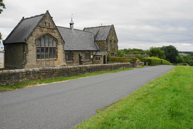
South Wingfield

South Wingfield is a village and civil parish in Derbyshire, England, it is now part of the borough of Amber Valley and formerly in the Scarsdale hundred...

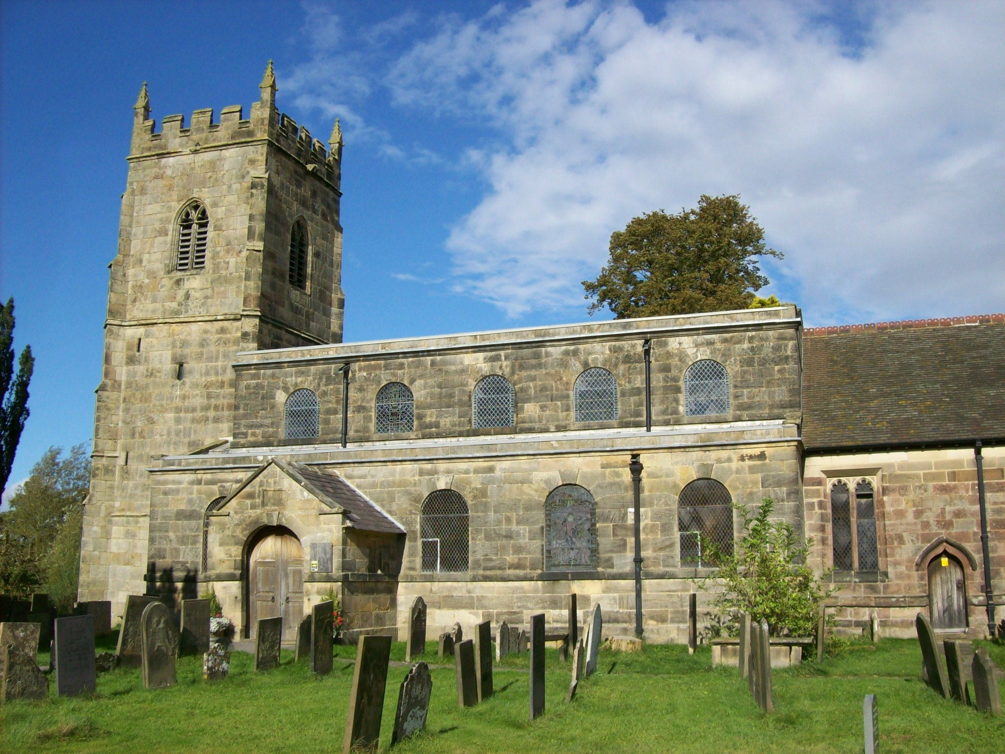
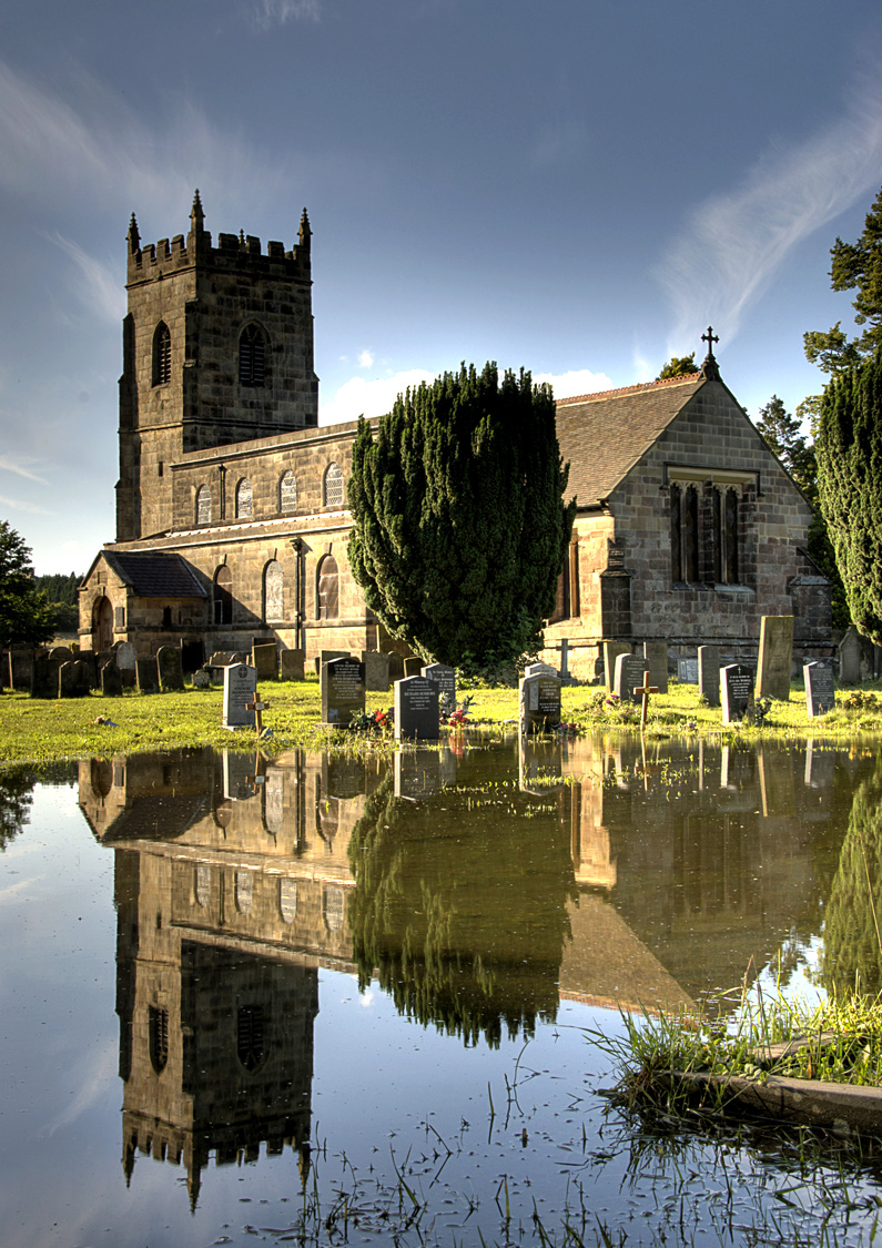
All Saints' Church, South Wingfield

All Saints’ Church, South Wingfield is a Grade II* listed parish church in the Church of England in South Wingfield, Derbyshire. == History == The church...

Wingfield railway station

Wingfield railway station served a rural area of Derbyshire, England between 1840 and 1967. Started in 2019, the building has been restored to how it looked...

Wingfield Manor

Wingfield Manor is a ruined manor house left deserted since the 1770s, near the village of South Wingfield and some four miles (6.4 km) west of the town...

Nearby Amenities

Located within 500m of 53.111554,-1.4563598
Barrier: stile
Material: wood
Steps: 1
Stile: stepover
Lat/Long: 53.1146799/-1.4539763
Barrier: stile
Material: stone
Stile: stepover
Lat/Long: 53.1135455/-1.4551716
Barrier: stile
Material: wood
Steps: 1
Stile: stepover
Lat/Long: 53.1125227/-1.4575035
Barrier: stile
Ele: 143.0000000
Steps: 1
Stile: stepover
Lat/Long: 53.110663/-1.4490737
Barrier: stile
Ele: 137.0000000
Steps: 1
Stile: stepover
Lat/Long: 53.1099901/-1.449737
Ele: 137.0000000
Lat/Long: 53.1099869/-1.4497719
Barrier: stile
Ele: 136.0000000
Steps: 1
Stile: stepover
Lat/Long: 53.1099806/-1.4497975
Ele: 111.0000000
Lat/Long: 53.1078554/-1.4526179
Ele: 128.0000000
Lat/Long: 53.1092171/-1.4512303
Barrier: stile
Ele: 127.0000000
Steps: 0
Stile: stepover
Lat/Long: 53.1091353/-1.4513025
Ele: 114.0000000
Lat/Long: 53.1081791/-1.4524374
Barrier: stile
Ele: 112.0000000
Steps: 0
Stile: stepover
Lat/Long: 53.1079986/-1.4525552
Ele: 109.0000000
Lat/Long: 53.1076357/-1.4526902
Ele: 136.0000000
Lat/Long: 53.1105123/-1.4627194
Ele: 136.0000000
Lat/Long: 53.1104862/-1.4627341
Ele: 136.0000000
Lat/Long: 53.1104757/-1.4627449
Ele: 137.0000000
Lat/Long: 53.1104664/-1.4627462
Ele: 139.0000000
Lat/Long: 53.1097127/-1.4628377
Barrier: stile
Ele: 141.0000000
Steps: 1
Stile: stepover
Lat/Long: 53.1106602/-1.4525577
Barrier: stile
Ele: 120.0000000
Steps: 1
Stile: stepover
Lat/Long: 53.1097736/-1.4551692
Ele: 121
Lat/Long: 53.1096657/-1.4554965
Ele: 121.0000000
Lat/Long: 53.1097543/-1.4552216
Barrier: stile
Steps: 1
Stile: stepover
Lat/Long: 53.1096344/-1.455538
Barrier: stile
Ele: 133.0000000
Steps: 1
Stile: stepover
Lat/Long: 53.108376/-1.4594943
Barrier: stile
Material: wood
Steps: 0
Stile: stepover
Lat/Long: 53.1104907/-1.46273
Barrier: cattle_grid
Lat/Long: 53.1117061/-1.4618063
Crich Lane Farm
Guest House: bed_and_breakfast
Tourism: guest_house
Lat/Long: 53.1114001/-1.449906
The data included in this document is from www.openstreetmap.org. The data is made available under ODbL.

Have you been to Alder Wood?

Leave your review of Alder Wood below (or comments, questions and feedback).