Dockeney

Settlement in Norfolk South Norfolk

England

Dockeney

Wooded pond
Wooded pond Credit: N Chadwick

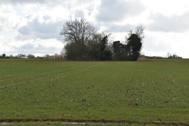
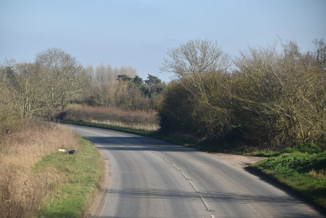
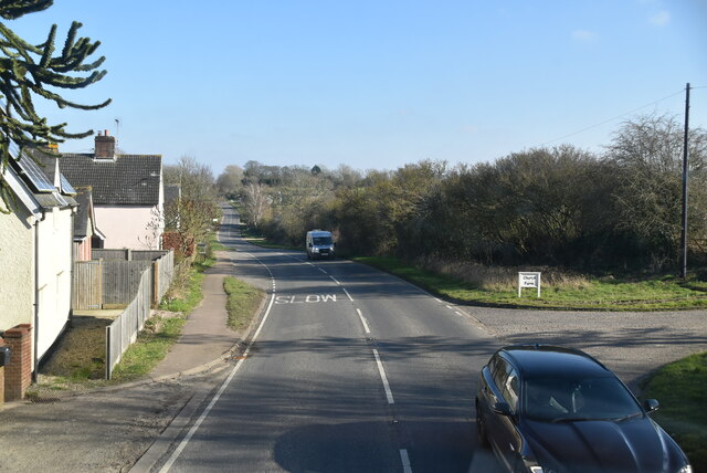
Dockeney is a small village located in the county of Norfolk, England. Situated near the north-eastern coast of the country, it is part of the North Norfolk district. The village is nestled amidst picturesque countryside, offering residents and visitors a peaceful and idyllic setting.

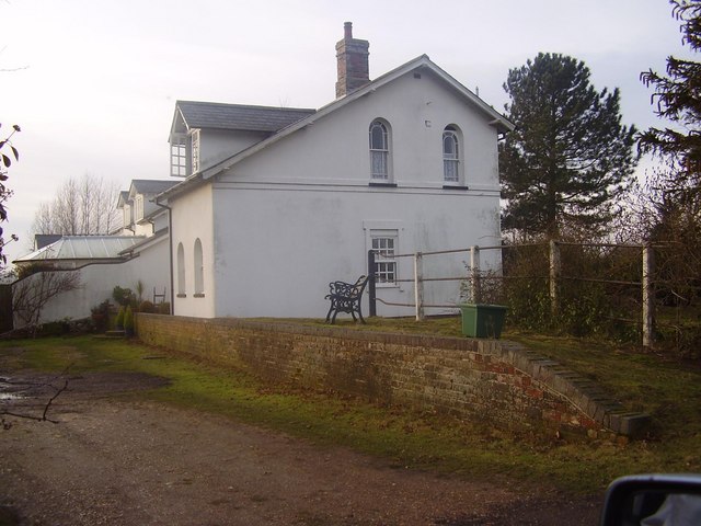
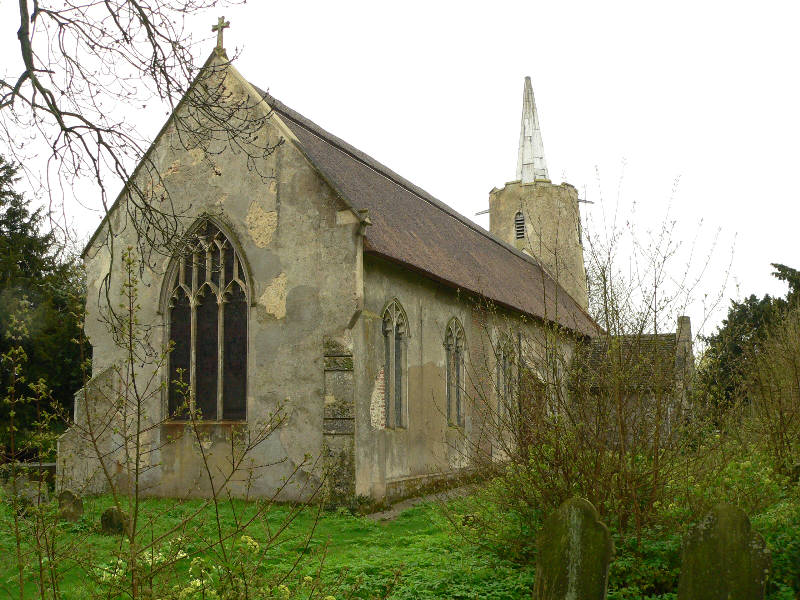
Dockeney is home to a close-knit community, with a population of around 500 people. The village has a rich history, with evidence of human settlement dating back to medieval times. Many of the buildings in Dockeney reflect this historical significance, with charming thatched cottages and traditional architecture adding to its allure.

Despite its small size, Dockeney offers a range of amenities for its residents. The village boasts a well-maintained primary school, providing education for local children. There is also a village hall, which serves as a hub for community activities and events. Additionally, Dockeney features a village pub, where locals and visitors can enjoy a traditional pint and a warm atmosphere.

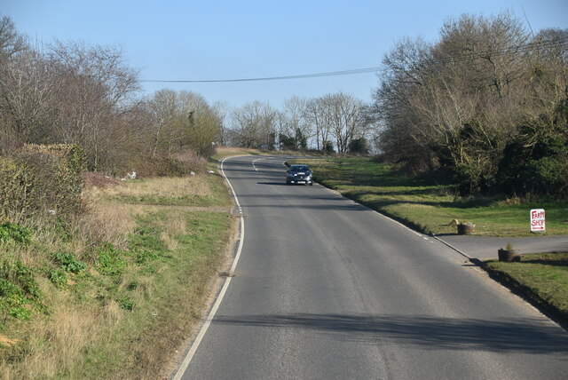
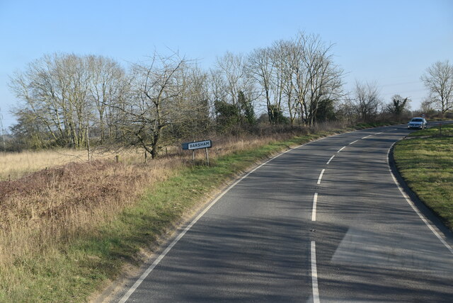
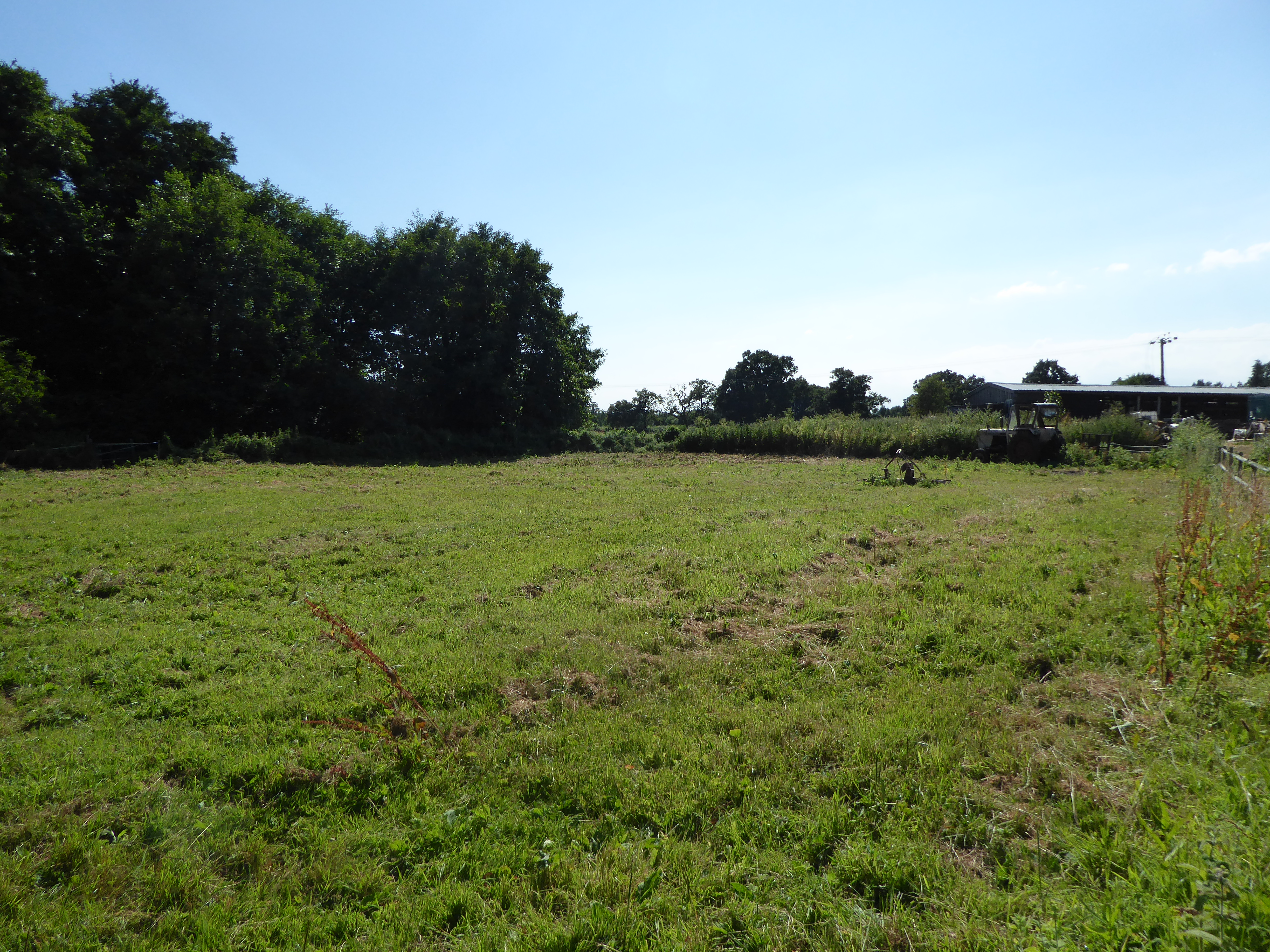
The surrounding countryside provides ample opportunities for outdoor activities and exploration. Dockeney is surrounded by lush green fields and meadows, making it an ideal destination for nature enthusiasts and hikers. The village is also in close proximity to the Norfolk Broads, a network of rivers and lakes, perfect for boating and wildlife spotting.

Overall, Dockeney offers a peaceful and picturesque setting, with a rich history and a strong sense of community. Its quaint charm and natural beauty make it an attractive place to visit or reside for those seeking a slower pace of life in the heart of rural Norfolk.

If you have any feedback on the listing, please let us know in the comments section below.

Dockeney Images

Images are sourced within 2km of 52.470606/1.510148 or Grid Reference TM3891. Thanks to Geograph Open Source API. All images are credited.

Wooded pond
Wooded pond
Entering Shipmeadow, B1062 <span class="nowrap"><a title="https://www.sabre-roads.org.uk/wiki/index.php?title=B1062" rel="nofollow ugc noopener" href="https://www.sabre-roads.org.uk/wiki/index.php?title=B1062">Link</a><img style="margin-left:2px;" alt="External link" title="External link - shift click to open in new window" src="https://s1.geograph.org.uk/img/external.png" width="10" height="10"/></span>
Entering Shipmeadow, B1062
Entering Barsham, B1062 <span class="nowrap"><a title="https://www.sabre-roads.org.uk/wiki/index.php?title=B1062" rel="nofollow ugc noopener" href="https://www.sabre-roads.org.uk/wiki/index.php?title=B1062">Link</a><img style="margin-left:2px;" alt="External link" title="External link - shift click to open in new window" src="https://s1.geograph.org.uk/img/external.png" width="10" height="10"/></span>
Entering Barsham, B1062
Maisebrooke Farm Shop
Field entrance off the B1062
B1062 towards Bungay Looking north west near Maisebrooke Farm.
B1062 towards Bungay
Looking north west near Maisebrooke Farm.
Young crop field, Shipmeadow Looking towards Viewpoint Mews (the former Beccles and Bungay workhouse).
Young crop field, Shipmeadow
Looking towards Viewpoint Mews (the former Beccles and Bungay workhouse).
Heading west from Shipmeadow On the B1062.
Heading west from Shipmeadow
On the B1062.
Grazing, Shipmeadow Off the B1062.
Grazing, Shipmeadow
Off the B1062.
Angles Way at Shipmeadow
River Waveney
River Waveney
The Wherry Inn
The Wherry Inn
River Waveney
River Waveney
The Locks Inn
The Locks Inn
A143 east approaching junction with A146
Show me another place!

Dockeney is located at Grid Ref: TM3891 (Lat: 52.470606, Lng: 1.510148)

Administrative County: Norfolk

District: South Norfolk

Police Authority: Norfolk

What 3 Words

///joked.shoebox.beside. Near Beccles, Suffolk

Nearby Locations

Dockeney Geldeston

Related Wikis

Geldeston railway station

Geldeston (also Geldeston Halt) was a station on the Waveney Valley Line serving the village of Geldeston, Norfolk. It was operational for passenger services...

Geldeston

Geldeston is a village and civil parish in the English county of Norfolk. The village is located 2.5 miles (4.0 km) north-west of Beccles and 14 miles...

Geldeston Meadows

Geldeston Meadows is a 14-hectare (35-acre) biological Site of Special Scientific Interest near Geldeston in Norfolk. It is part of the Broadland Ramsar...

Leet Hill, Kirby Cane

Leet Hill, Kirby Cane is a 6.5-hectare (16-acre) geological Site of Special Scientific Interest in Kirby Cane in Norfolk. It is a Geological Conservation...
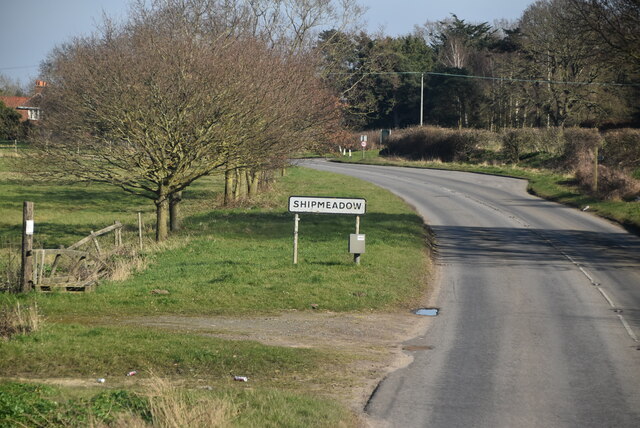
Shipmeadow

Shipmeadow is a village and civil parish located in the north of the English county of Suffolk. It is in the East Suffolk district, 2.5 miles (4.0 km)...

Ellingham railway station

Ellingham is a former railway station in Ellingham, Norfolk. It was opened in 1863 as part of the Waveney Valley Line between Tivetshall and Beccles, Suffolk...

Stockton, Norfolk

Stockton is a small village in Norfolk, England near the A146, just over 2 miles from Beccles. It covers an area of 3.65 km2 (1.41 sq mi) and had a population...

Haughey Air AgustaWestland AW139 crash

On 13 March 2014, an AgustaWestland AW139 helicopter of Haughey Air crashed shortly after taking off at night in fog from Gillingham, Norfolk, United Kingdom...

Nearby Amenities

Located within 500m of 52.470606,1.510148
Post Box
Collection Times: Mo-Fr 09:00; Sa 07:00
Operator: Royal Mail
Post Box Mounting: pier
Post Box Type: lamp
Ref: NR34 3412D
Royal Cypher: EIIR
Royal Cypher Wikidata: Q33102113
Lat/Long: 52.4703914/1.5133723
Defibrillator
Access: yes
Booth: K6
Covered: booth
Defibrillator Location: Inside old red phone box by entrance to Geldeston Village Hall
Disused Amenity: telephone
Emergency: defibrillator
Indoor: no
Man Made: telephone_box
Ref GB The Circuit: 356631F6-7BB9-4176-99AF-AE220147E058
Lat/Long: 52.4724307/1.5165715
Post Box
Collection Times: Mo-Fr 16:30; Sa 10:15
Operator: Royal Mail
Post Box Mounting: wall
Post Box Type: lamp
Ref: NR34 3425
Royal Cypher: EIIR
Royal Cypher Wikidata: Q33102113
Lat/Long: 52.4723975/1.5165811
Bus Stop
Wherry, adj
Bench: yes
Naptan AtcoCode: 2900G051
Naptan Bearing: E
Naptan CommonName: Wherry
Naptan Indicator: adj
Naptan Landmark: public house
Naptan Locality: Geldeston
Naptan NaptanCode: nfoatagw
Naptan ShortCommonName: Wherry
Naptan Street: The Street
Naptan Verified: no
Shelter: yes
Source: naptan_import
Lat/Long: 52.4725189/1.5163918
Bus Stop
Wherry, opp
Bench: no
Naptan AtcoCode: 2900G052
Naptan Bearing: W
Naptan CommonName: Wherry
Naptan Indicator: opp
Naptan Landmark: village hall
Naptan Locality: Geldeston
Naptan NaptanCode: nfoataja
Naptan Street: The Street
Naptan Verified: no
Shelter: no
Source: naptan_import
Lat/Long: 52.4724375/1.5166621
Geldeston
Historic Railway: station
Railway: site
Source: OS 1:25k
Wikidata: Q5530399
Wikipedia: en:Geldeston railway station
Lat/Long: 52.4707417/1.513016
Power: pole
Lat/Long: 52.4723003/1.5055078
Note: Just to help tension the end of the line
Power: pole
Lat/Long: 52.4713102/1.5137435
Location Transition: yes
Power: pole
Lat/Long: 52.4713379/1.5135625
Power: pole
Lat/Long: 52.4716811/1.5117118
Power: pole
Lat/Long: 52.4718183/1.510435
Power: pole
Lat/Long: 52.4719556/1.5090215
Power: pole
Lat/Long: 52.4721189/1.5074122
Power: pole
Lat/Long: 52.4724653/1.5039226
Waste Basket
Lat/Long: 52.4726426/1.5159899
Bench
Backrest: yes
Colour: red
Material: wood
Seats: 3
Lat/Long: 52.472681/1.5157613
Geldeston
Inscription: Presented by Geldeston & Stockton Womens Institute / 1972
Man Made: village_sign
Material: wood
Start Date: 1972
Lat/Long: 52.4726726/1.5157958
Give Way
Lat/Long: 52.47244/1.5164655
Millennium Milepost Geldeston
Description: 1) Beccles 3 2) Loddon 7.5, Norwich 24
Image: https://www.cyclestreets.net/location/186513/cyclestreets186513-size640.jpg
Information: guidepost
Ncn Milepost: mills
Sustrans Ref: MP 550
Tourism: information
Lat/Long: 52.4725326/1.5162954
Historic: memorial
Inscription: Geldeston 2000
Memorial: stone
Lat/Long: 52.4726569/1.5155373
Covered: no
Leisure: picnic_table
Lat/Long: 52.4726789/1.5158799
Waste Basket
Colour: blue
Inscription: Dog waste only
Waste: dog_excrement
Lat/Long: 52.4697406/1.5128608
Geldeston Village Hall
Board Type: notice
Information: board
Tourism: information
Lat/Long: 52.4697457/1.5127826
Crossing
Crossing: unmarked
Crossing Island: no
Kerb: raised
Tactile Paving: yes
Lat/Long: 52.4728599/1.5144709
Waste Basket
Colour: green
Waste: trash
Lat/Long: 52.4730539/1.5144885
Bench
Backrest: yes
Material: wood
Seats: 3
Lat/Long: 52.4730433/1.5145314
Give Way
Lat/Long: 52.4728983/1.5146154
Give Way
Lat/Long: 52.4729367/1.5145408
Waste Basket
Colour: blue
Waste: trash
Lat/Long: 52.4725237/1.5161515
Recycling
Colour: red
Location: overground
Recycling Glass: no
Recycling Glass Bottles: yes
Recycling Type: container
Lat/Long: 52.4725139/1.5161408
Waste Basket
Colour: red
Inscription: Dog waste only
Waste: dog_excrement
Lat/Long: 52.4724028/1.5164519
Waste Basket
Waste: trash
Lat/Long: 52.4724102/1.5164405
Village Hall
Board Type: notice
Information: board
Tourism: information
Lat/Long: 52.4724277/1.5168157
Parish Council
Board Type: notice
Information: board
Tourism: information
Lat/Long: 52.4724294/1.516877
Waste Basket
Waste: dog_excrement
Lat/Long: 52.4737374/1.5126686
The data included in this document is from www.openstreetmap.org. The data is made available under ODbL.

Have you been to Dockeney?

Leave your review of Dockeney below (or comments, questions and feedback).