Dobs Hill
Settlement in Flintshire
Wales
Dobs Hill

Dobs Hill is a small village located in the county of Flintshire, Wales. Situated in the northeastern part of the country, it is surrounded by picturesque rolling hills and offers stunning views of the Welsh countryside. With a population of approximately 500 residents, the village maintains a close-knit community atmosphere.
The village of Dobs Hill is known for its rich history, dating back to medieval times. It is home to several well-preserved historical landmarks, including a 13th-century church called St. Mary's, which is a significant architectural gem in the area. The church features intricate stone carvings and stained glass windows, attracting visitors interested in its historical and cultural significance.
Nature enthusiasts are drawn to Dobs Hill due to its proximity to various outdoor recreational activities. The village is surrounded by beautiful countryside, offering opportunities for hiking, cycling, and birdwatching. Additionally, the nearby River Dee provides opportunities for fishing and boating.
Dobs Hill offers a peaceful and idyllic living environment, with a range of amenities to cater to its residents. There is a local primary school, a village hall that hosts community events, and a few small shops and pubs. The village also benefits from good transportation links, connecting it to nearby towns and cities.
Overall, Dobs Hill is a charming and historically significant village that provides a tranquil lifestyle amidst the natural beauty of Flintshire, making it an attractive place to live or visit for those seeking a peaceful retreat.
If you have any feedback on the listing, please let us know in the comments section below.
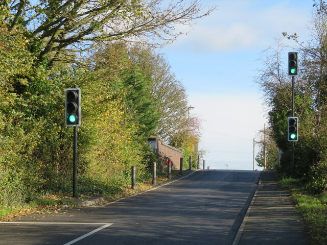
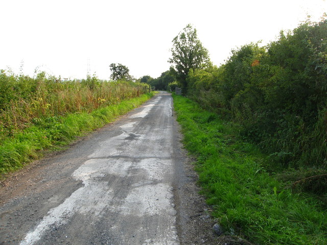
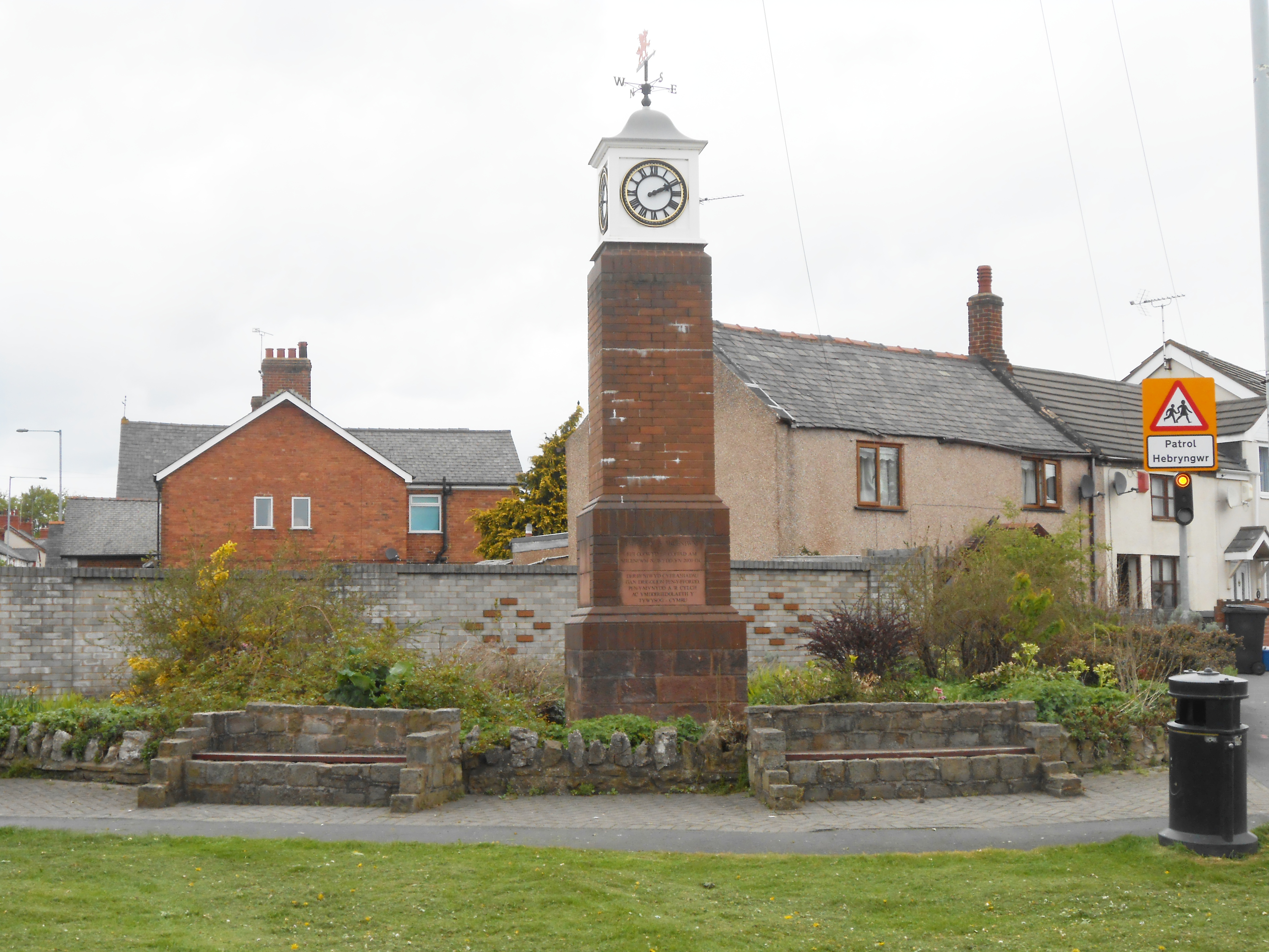
Dobs Hill Images
Images are sourced within 2km of 53.164494/-3.04178 or Grid Reference SJ3063. Thanks to Geograph Open Source API. All images are credited.


Dobs Hill is located at Grid Ref: SJ3063 (Lat: 53.164494, Lng: -3.04178)
Unitary Authority: Flintshire
Police Authority: North Wales
What 3 Words
///translated.reservoir.finalists. Near Penyffordd, Flintshire
Nearby Locations
Related Wikis
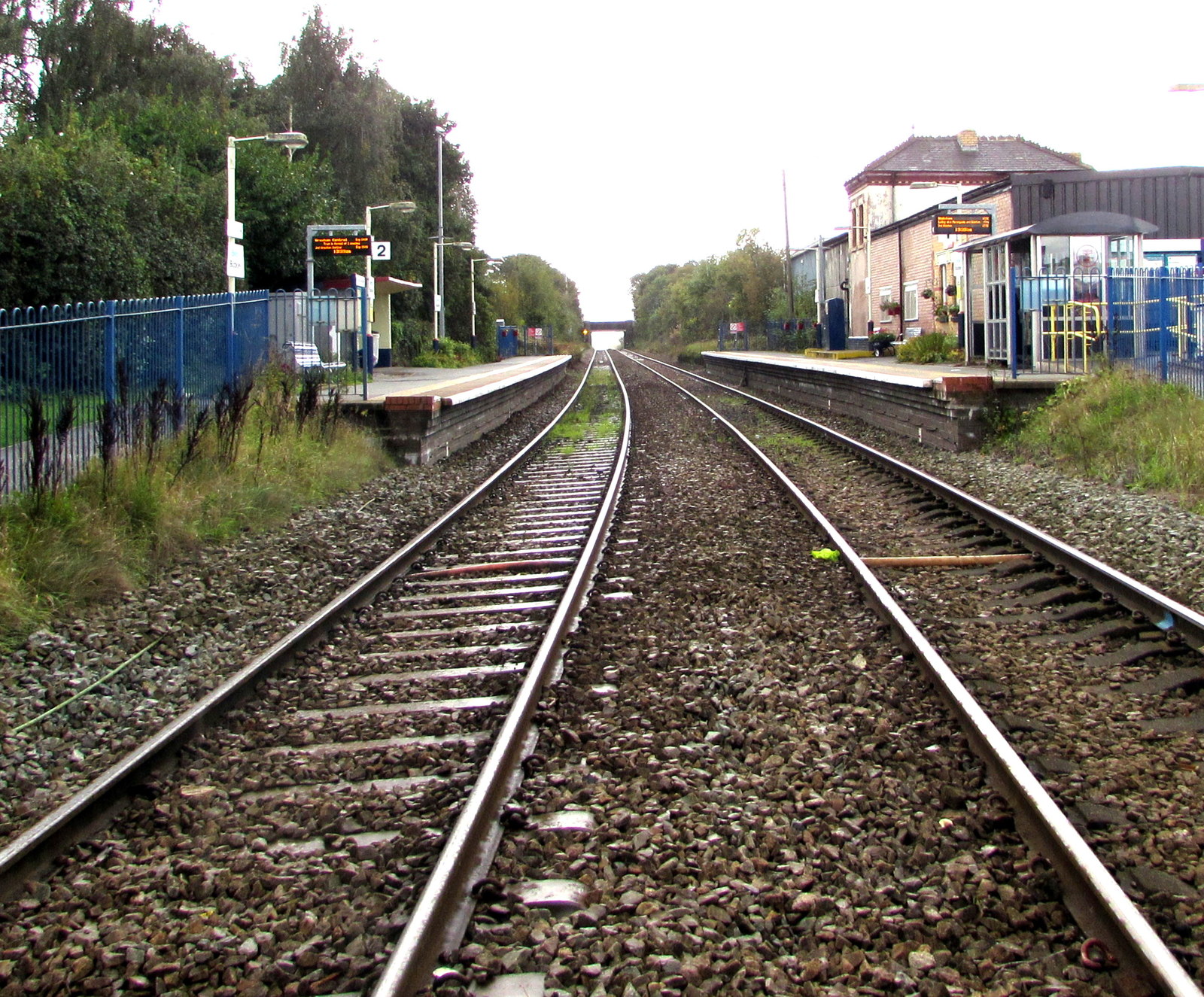
Buckley railway station
Buckley railway station serves the town of Buckley in Flintshire, Wales. The station is 8½ miles (14 km) north of Wrexham Central on the Borderlands Line...

Alyn and Deeside (Senedd constituency)
Alyn and Deeside (Welsh: Alun a Glannau Dyfrdwy) is a constituency of the Senedd. It elects one Member of the Senedd by the first past the post method...

Penymynydd
Penymynydd is a small village in Flintshire, Wales, merging with the larger neighbouring village of Penyffordd. The name Penymynydd is Welsh, meaning...
Penyffordd
Penyffordd or Pen-y-ffordd is a village, community and electoral ward in Flintshire, Wales, situated to the south east of Buckley and to the west of Chester...
Nearby Amenities
Located within 500m of 53.164494,-3.04178Have you been to Dobs Hill?
Leave your review of Dobs Hill below (or comments, questions and feedback).