Scutt's Copse
Wood, Forest in Berkshire
England
Scutt's Copse

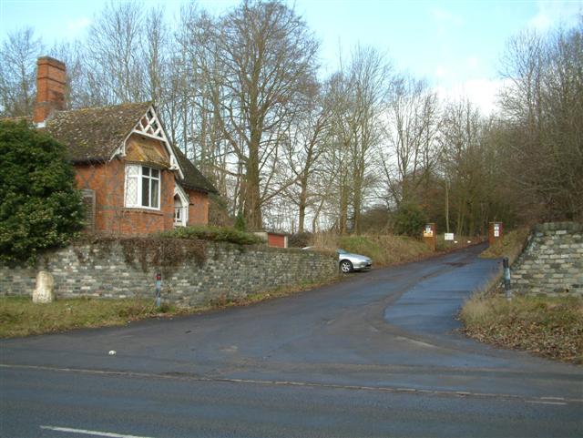
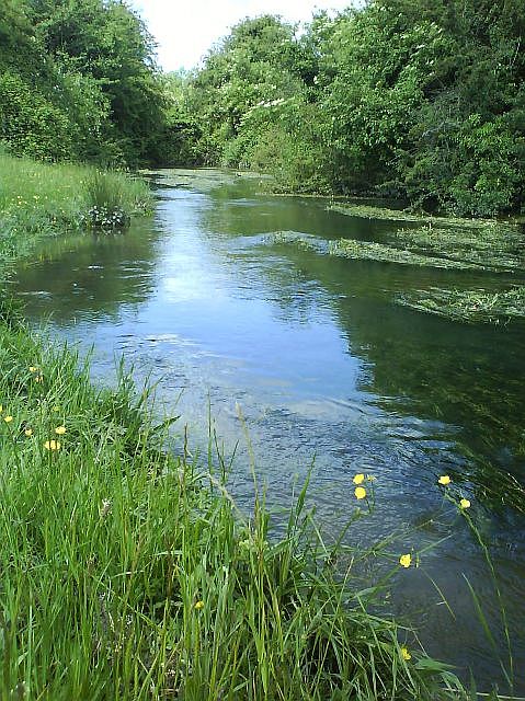
Scutt's Copse is a charming woodland area located in Berkshire, England. Nestled within the heart of the county, this enchanting copse covers an approximate area of 10 acres. It is situated near the small village of Inkpen, just a few miles away from the town of Hungerford.
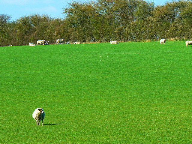
This picturesque woodland is predominantly composed of native deciduous trees, including oak, beech, and birch, which create a rich tapestry of colors throughout the seasons. The forest floor is adorned with a diverse array of wildflowers, ferns, and mosses, contributing to its natural beauty. Scutt's Copse is also home to several species of birds, such as woodpeckers, owls, and songbirds, adding a melodic soundtrack to its peaceful ambiance.
The copse offers several well-maintained footpaths that wind their way through the trees, allowing visitors to explore and appreciate its natural wonders. The trails are suitable for all ages and fitness levels, making it an ideal destination for a leisurely stroll or a family picnic.
Scutt's Copse is well-loved by locals and visitors alike, attracting nature enthusiasts, hikers, and those seeking tranquility away from the hustle and bustle of urban life. The copse offers a serene and idyllic setting, providing a refuge where one can reconnect with nature and experience the therapeutic benefits of the great outdoors.
Overall, Scutt's Copse in Berkshire is a captivating woodland retreat, offering a delightful escape into nature's embrace. With its diverse flora and fauna, well-maintained trails, and serene atmosphere, it is a cherished gem that continues to enchant all who venture within its verdant confines.
If you have any feedback on the listing, please let us know in the comments section below.
Scutt's Copse Images
Images are sourced within 2km of 51.422262/-1.4846388 or Grid Reference SU3569. Thanks to Geograph Open Source API. All images are credited.


Scutt's Copse is located at Grid Ref: SU3569 (Lat: 51.422262, Lng: -1.4846388)
Unitary Authority: West Berkshire
Police Authority: Thames Valley
What 3 Words
///slowness.oiled.salad. Near Hungerford, Berkshire
Nearby Locations
Related Wikis

Denford Park
Denford Park is a country house and surrounding estate in the English county of Berkshire, within the civil parish of Kintbury. The estate lies near to...
Upper Denford
Upper Denford is a hamlet in Berkshire, England, and part of the civil parish of Kintbury. The settlement lies north of the A4 road, and is located approximately...
Lower Denford
Lower Denford is a hamlet in the civil parish of Kintbury in the English county of Berkshire. The settlement lies adjacent to the A4 road, and is located...
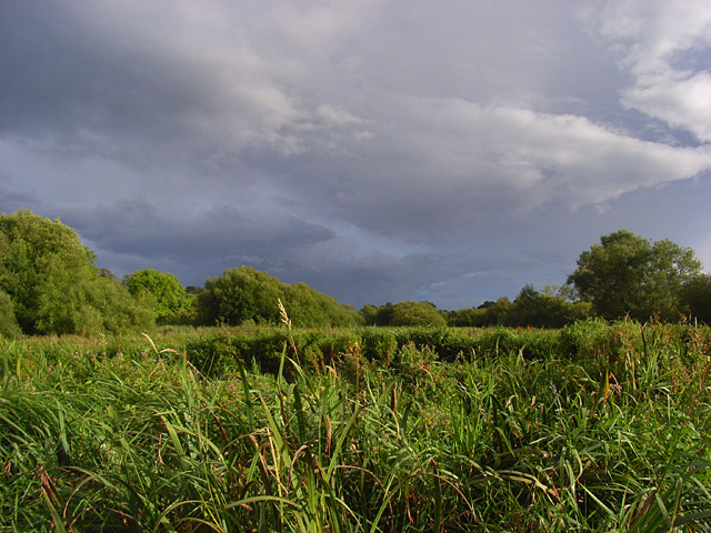
Kennet and Lambourn Floodplain
Kennet and Lambourn Floodplain is a 23.4-hectare (58-acre) biological Site of Special Scientific Interest in six widely separated areas in the floodplains...
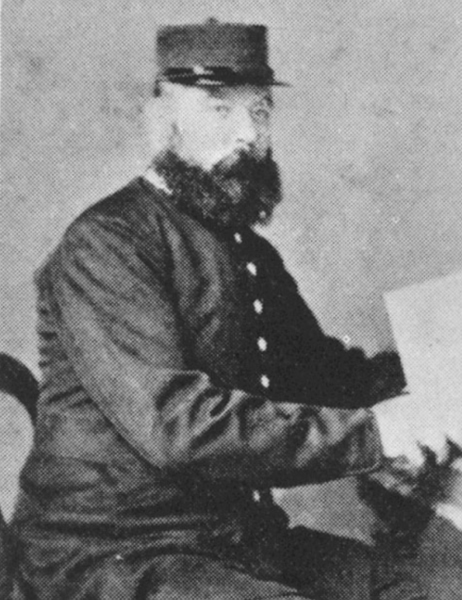
Hungerford police murders
On 11 December 1876, Inspector Joseph Drewitt and PC Thomas Shorter were murdered near Hungerford in Berkshire, United Kingdom. The officers were in the...
River Dun (River Kennet)
The River Dun (historically known as Bedwyn Brook) is a tributary of the River Kennet, flowing through Wiltshire and Berkshire in England. Its main source...
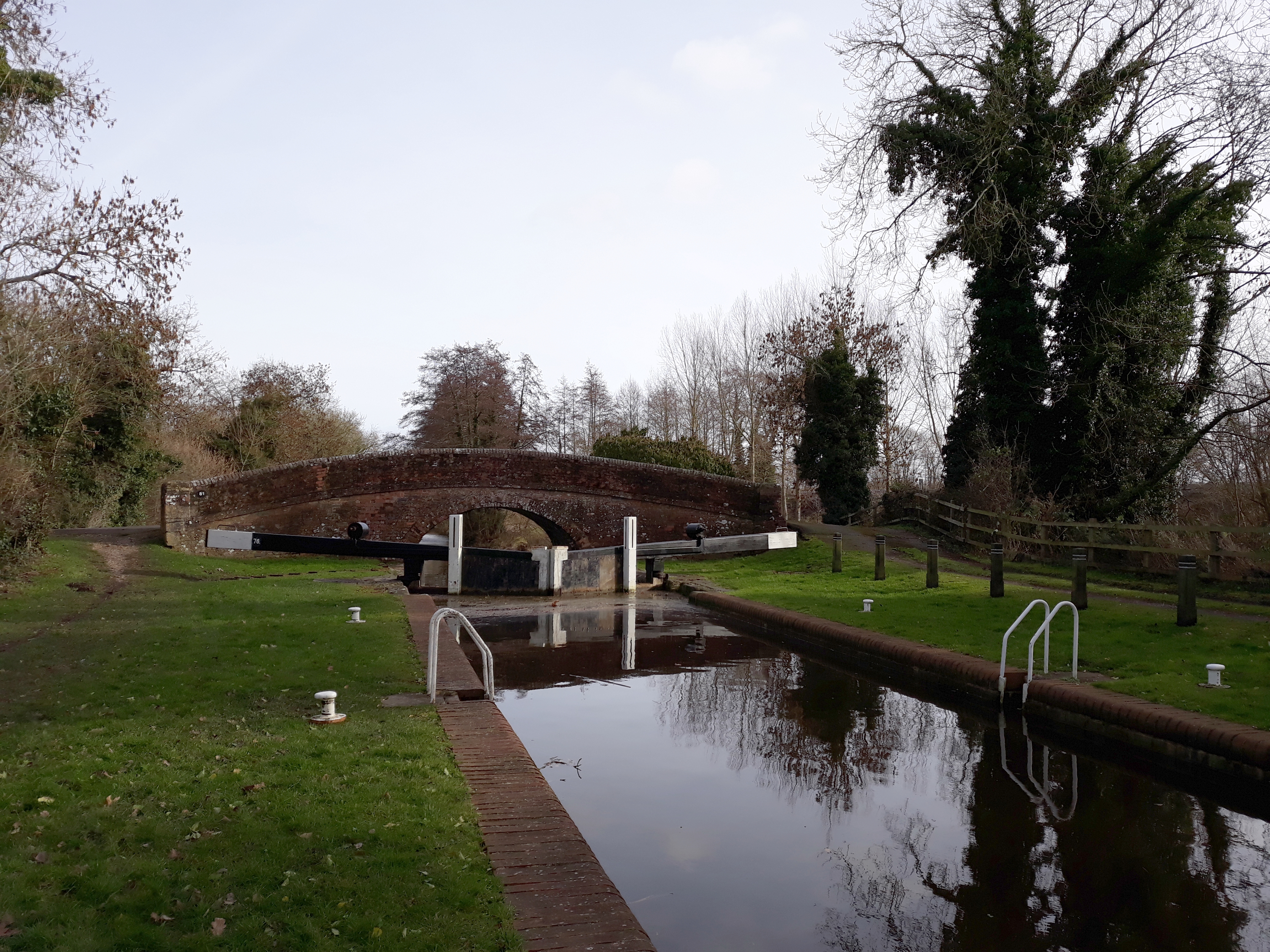
Wire Lock
Wire Lock is a lock on the Kennet and Avon Canal, near Hungerford, Berkshire, England. It is a grade II listed building. == References == == See also... ==

Dun Mill Lock
Dun Mill Lock is a lock on the Kennet and Avon Canal, near Hungerford, Berkshire, England. The lock has a rise/fall of 5 ft 8 in (1.73 m).It is a grade...
Nearby Amenities
Located within 500m of 51.422262,-1.4846388Have you been to Scutt's Copse?
Leave your review of Scutt's Copse below (or comments, questions and feedback).