Eastmanton Copse

Wood, Forest in Berkshire Vale of White Horse

England

Eastmanton Copse

Silver Lane Looking towards West Challow on Silver Lane.
Silver Lane Credit: Oscar Taylor

Eastmanton Copse is a picturesque woodland located in the county of Berkshire, England. Situated in the southern part of the county, this woodland covers an area of approximately 100 acres. It is known for its natural beauty and diverse range of flora and fauna.

The copse is primarily composed of broadleaf trees, including oak, beech, and birch. These trees provide a dense canopy, creating a shaded and tranquil environment within the woodland. Additionally, the forest floor is covered in a rich carpet of wildflowers and ferns, adding to the overall beauty of the area.

Eastmanton Copse is home to a variety of wildlife species, making it a popular spot for nature enthusiasts and birdwatchers. Visitors can expect to see a range of bird species, such as woodpeckers, owls, and various songbirds. Small mammals, including squirrels and rabbits, also inhabit the area.

The copse is crisscrossed by a network of well-maintained footpaths, allowing visitors to explore and enjoy the woodland at their own pace. These paths lead to scenic viewpoints and clearings, providing opportunities for peaceful picnics and photography.

Eastmanton Copse is easily accessible, with car parking facilities available nearby. It is open to the public throughout the year, free of charge. The copse is managed by the local council, ensuring the preservation of its natural beauty and the protection of its wildlife.

Overall, Eastmanton Copse offers a serene and idyllic woodland experience, making it a must-visit destination for nature lovers and those seeking a peaceful retreat in the heart of Berkshire.

If you have any feedback on the listing, please let us know in the comments section below.

Eastmanton Copse Images

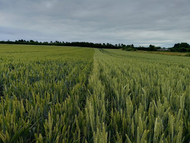
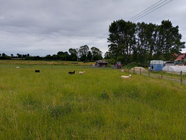
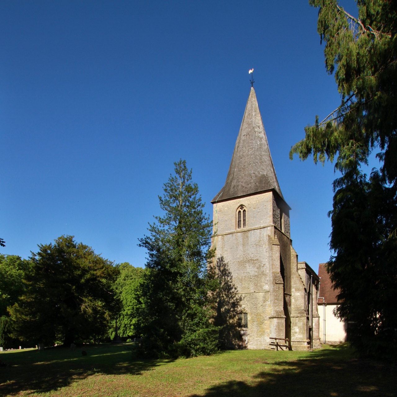
Images are sourced within 2km of 51.587439/-1.4954172 or Grid Reference SU3587. Thanks to Geograph Open Source API. All images are credited.

Silver Lane Looking towards West Challow on Silver Lane.
Silver Lane
Looking towards West Challow on Silver Lane.
Silver Lane bridleway sign A sign showing the route of a bridleway crossing Silver Lane.
Silver Lane bridleway sign
A sign showing the route of a bridleway crossing Silver Lane.
Silver Lane Looking towards West Challow on Silver Lane.
Silver Lane
Looking towards West Challow on Silver Lane.
Bridleway towards Childrey A bridleway off Silver Lane heading towards Childrey. A public footpath splits off from the bridleway across the field to the right.
Bridleway towards Childrey
A bridleway off Silver Lane heading towards Childrey. A public footpath splits off from the bridleway across the field to the right.
West Challow millennium bench A bench on a bridleway between Silver Lane and Childrey. The plaque reads "WEST CHALLOW
CELEBRATION 2000 A.D."
West Challow millennium bench
A bench on a bridleway between Silver Lane and Childrey. The plaque reads "WEST CHALLOW CELEBRATION 2000 A.D."
West Challow Field farmland Farmland on West Challow Field.
West Challow Field farmland
Farmland on West Challow Field.
Footpath towards Childrey A public footpath towards Childrey that runs from a bridleway off Silver Lane to Chapel Way.
Footpath towards Childrey
A public footpath towards Childrey that runs from a bridleway off Silver Lane to Chapel Way.
Footpath towards Childrey A public footpath towards Childrey that runs from a bridleway off Silver Lane to Chapel Way.
Footpath towards Childrey
A public footpath towards Childrey that runs from a bridleway off Silver Lane to Chapel Way.
Footpath towards Childrey A public footpath towards Childrey that runs from a bridleway off Silver Lane to Chapel Way.
Footpath towards Childrey
A public footpath towards Childrey that runs from a bridleway off Silver Lane to Chapel Way.
Childrey farmland Farmland east of Childrey.
Childrey farmland
Farmland east of Childrey.
Footpath towards Childrey A public footpath towards Childrey that runs from a bridleway off Silver Lane to Chapel Way.
Footpath towards Childrey
A public footpath towards Childrey that runs from a bridleway off Silver Lane to Chapel Way.
Footpath towards Childrey A public footpath towards Childrey that runs from a bridleway off Silver Lane to Chapel Way.
Footpath towards Childrey
A public footpath towards Childrey that runs from a bridleway off Silver Lane to Chapel Way.
Childrey farmland Farmland east of Childrey.
Childrey farmland
Farmland east of Childrey.
Childrey farmland Farmland east of Childrey.
Childrey farmland
Farmland east of Childrey.
Footpath towards Childrey A public footpath towards Childrey that runs from a bridleway off Silver Lane to Chapel Way.
Footpath towards Childrey
A public footpath towards Childrey that runs from a bridleway off Silver Lane to Chapel Way.
Footpath towards Childrey A public footpath towards Childrey that runs from a bridleway off Silver Lane to Chapel Way.
Footpath towards Childrey
A public footpath towards Childrey that runs from a bridleway off Silver Lane to Chapel Way.
Childrey field A field of grass east of Childrey.
Childrey field
A field of grass east of Childrey.
Dropshort Farm sheep Sheep at Dropshort Farm in Childrey.
Dropshort Farm sheep
Sheep at Dropshort Farm in Childrey.
Show me another place!

Eastmanton Copse is located at Grid Ref: SU3587 (Lat: 51.587439, Lng: -1.4954172)

Administrative County: Oxfordshire

District: Vale of White Horse

Police Authority: Thames Valley

What 3 Words

///grapes.simulator.slamming. Near Wantage, Oxfordshire

Nearby Locations

Eastmanton Copse

Related Wikis

Sparsholt, Oxfordshire

Sparsholt is a village and civil parish about 3 miles (5 km) west of Wantage in the Vale of White Horse district of Oxfordshire. The parish includes the...

Vale of White Horse

The Vale of White Horse is a local government district of Oxfordshire in England. It was historically a north-west projection of Berkshire. The area is...

Westcot

Westcot is a hamlet in the civil parish of Sparsholt, about 4 miles (6.4 km) west of Wantage in the Vale of White Horse, England. == External links... ==

West Challow

West Challow is a village and civil parish about 2 miles (3 km) west of the market town of Wantage in the Vale of White Horse. The village is on Childrey...

Nearby Amenities

Located within 500m of 51.587439,-1.4954172
Sparsholt
Place: village
Wikidata: Q4512602
Lat/Long: 51.5861139/-1.5010271
Bus Shelter
Naptan AtcoCode: 340000694OPP
Naptan Bearing: S
Naptan BusStopType: CUS
Naptan CommonName: Bus Shelter
Naptan Indicator: Opp
Naptan Landmark: Bus Shelter
Naptan NaptanCode: oxfgmpwa
Naptan Street: Sparsholt Street
Naptan Verified: no
Source: naptan_import
Lat/Long: 51.5867178/-1.5008142
Bus Stop
Bus Shelter
Bench: no
Bin: no
Lit: yes
Naptan AtcoCode: 340000694SHE
Naptan Bearing: N
Naptan CommonName: Bus Shelter
Naptan Indicator: o/s
Naptan Landmark: Bus Shelter
Naptan NaptanCode: oxfapwga
Naptan Street: Sparsholt Street
Naptan Verified: no
Public Transport: platform
Shelter: yes
Source: naptan_import
Tactile Paving: no
Lat/Long: 51.5868618/-1.5008415
Pub
The Star Inn
Opening Hours: "Mon-Fri 12:00-14:30, 17:45-20:30; Sat open for breakfast and all afternoon"
Lat/Long: 51.5874567/-1.5001347
Bicycle Parking
Bicycle Parking: stands
Capacity: 4
Covered: no
Lat/Long: 51.5861449/-1.5012833
Entrance: main
Lat/Long: 51.5862153/-1.5012715
Post Box
Post Box Type: lamp
Ref: OX12 1140
Royal Cypher: EIIR
Royal Cypher Wikidata: Q33102113
Lat/Long: 51.5868606/-1.5006115
Bench
Backrest: yes
Lat/Long: 51.5868898/-1.5005766
Power: pole
Source: Bing
Lat/Long: 51.5904476/-1.4907367
Material: wood
Power: pole
Source: Bing
Lat/Long: 51.5900126/-1.5011375
Power: pole
Source: Bing
Lat/Long: 51.5878628/-1.4934109
Power: pole
Source: Bing
Lat/Long: 51.5903583/-1.4937061
Power: pole
Source: Bing
Lat/Long: 51.5905909/-1.4922441
Power: pole
Source: Bing
Lat/Long: 51.5888255/-1.4923312
Power: pole
Source: Bing
Lat/Long: 51.5901365/-1.4951012
Power: pole
Source: Bing
Lat/Long: 51.5900043/-1.4922789
Power: pole
Source: Bing
Lat/Long: 51.5882352/-1.4923581
Power: pole
Source: Bing
Lat/Long: 51.5899032/-1.4964559
Power: pole
Source: Bing
Lat/Long: 51.5894142/-1.4923097
Public Bookcase
The Book Box
Booth: K6
Check Date: 2024-01-07
Disused Amenity: telephone
Man Made: telephone_box
Public Bookcase Type: phone_box
Lat/Long: 51.5867171/-1.5007394
Power: pole
Lat/Long: 51.5905234/-1.4981245
The data included in this document is from www.openstreetmap.org. The data is made available under ODbL.

Have you been to Eastmanton Copse?

Leave your review of Eastmanton Copse below (or comments, questions and feedback).