Broken Bridge Spinney

Wood, Forest in Warwickshire Warwick

England

Broken Bridge Spinney

Hangars at Baginton airport In front of the hangars is an English Electric Canberra, identification no. WK163, with an inscription on its nose reading: "Holder of the World Altitude Record of 70,310ft on 28th August 1957. Pilot: M Randrupp Observer: W. Shirley". (70310ft = 21430m approx.)
Hangars at Baginton airport Credit: E Gammie

Broken Bridge Spinney is a picturesque woodland located in Warwickshire, England. Situated near the village of Wood, this enchanting forest covers an area of approximately 20 acres. Its name is derived from a historic stone bridge that was once part of a former railway line, now in ruins.

This woodland is renowned for its natural beauty, offering a tranquil and serene escape from the bustling city life. The canopy of trees, predominantly oak and ash, provides a dense cover that allows only dappled sunlight to filter through, creating an ethereal atmosphere. The forest floor is adorned with a carpet of wildflowers, adding a burst of color to the surroundings during spring and summer.

Broken Bridge Spinney is also home to a diverse range of wildlife. Birdwatchers can spot various species, including great tits, blue tits, and woodpeckers, among others. Additionally, the woodland provides a habitat for small mammals such as squirrels and rabbits.

This woodland is a popular destination for nature enthusiasts, hikers, and photographers who are drawn to its natural charm. Several walking trails wind through the forest, allowing visitors to explore its hidden nooks and crannies. The broken stone bridge, which acts as a nostalgic reminder of the past, is a favorite spot for photographers, serving as an iconic backdrop.

Overall, Broken Bridge Spinney in Warwickshire offers a captivating blend of natural beauty, wildlife, and history. Whether one seeks solitude in nature or wants to embark on an adventure, this woodland provides an idyllic setting to immerse oneself in the wonders of the outdoors.

If you have any feedback on the listing, please let us know in the comments section below.

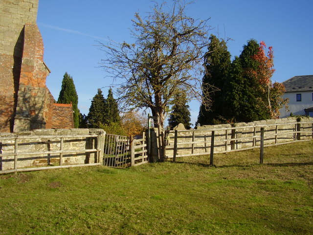
Broken Bridge Spinney Images

Images are sourced within 2km of 52.353384/-1.4868331 or Grid Reference SP3572. Thanks to Geograph Open Source API. All images are credited.

Hangars at Baginton airport In front of the hangars is an English Electric Canberra, identification no. WK163, with an inscription on its nose reading: "Holder of the World Altitude Record of 70,310ft on 28th August 1957. Pilot: M Randrupp Observer: W. Shirley". (70310ft = 21430m approx.)
Hangars at Baginton airport
In front of the hangars is an English Electric Canberra, identification no. WK163, with an inscription on its nose reading: "Holder of the World Altitude Record of 70,310ft on 28th August 1957. Pilot: M Randrupp Observer: W. Shirley". (70310ft = 21430m approx.)
Coventry Airport, Baginton A de Havilland Vampire (identification no. WK436) being readied for a display flight at Baginton airport.
Coventry Airport, Baginton
A de Havilland Vampire (identification no. WK436) being readied for a display flight at Baginton airport.
Coventry Airport, Baginton A Jet Provost (identification G-BWDS, formerly XM424) taxiing prior to take off for a display flight at Baginton airport.
Coventry Airport, Baginton
A Jet Provost (identification G-BWDS, formerly XM424) taxiing prior to take off for a display flight at Baginton airport.
Lots of different angles A footpath and gate next to Bubbenhall church.
The tree appears to be vertical whilst the church tower leans towards it.
Lots of different angles
A footpath and gate next to Bubbenhall church. The tree appears to be vertical whilst the church tower leans towards it.
Cancelled Bench  Mark on St Giles Church Situated on the south east corner wall the two lines at the top of the mark indicate that it is no longer functional.
A flush bracket can be located near by.
Cancelled Bench Mark on St Giles Church
Situated on the south east corner wall the two lines at the top of the mark indicate that it is no longer functional. A flush bracket can be located near by.
St John the Baptist Church, Baginton
Graves of Polish Servicemen at St John the Baptist Church, Baginton There are nine graves of Polish airmen who were fighting with the RAF and were stationed at RAF Baginton, now Coventry Airport. They were all members of 308 (Krakow) Squadron.
Graves of Polish Servicemen at St John the Baptist Church, Baginton
There are nine graves of Polish airmen who were fighting with the RAF and were stationed at RAF Baginton, now Coventry Airport. They were all members of 308 (Krakow) Squadron.
Lucy Price House, Church Road, Baginton This is named after Lucy Price (nee Bromley) who was a benefactress and endowed the village with a school in 1814. The house was built in the late 16th/early 17th century and is timber framed.
Lucy Price House, Church Road, Baginton
This is named after Lucy Price (nee Bromley) who was a benefactress and endowed the village with a school in 1814. The house was built in the late 16th/early 17th century and is timber framed.
Home Farm, Baginton
Home Farm, Baginton
St Giles Church, Bubbenhall
Church House, Bubbenhall
Village Green, Bubbenhall This shows the bus shelter in the village and on the left of the picture is the pump for spring water that is freely available for anyone to use.
Village Green, Bubbenhall
This shows the bus shelter in the village and on the left of the picture is the pump for spring water that is freely available for anyone to use.
Three Horseshoes Inn, Spring Hill, Bubbenhall
Tantara Lodge Once a gatehouse for Stoneleigh Abbey, it now sits on the fringe of Stoneleigh Golf Course.
Tantara Lodge
Once a gatehouse for Stoneleigh Abbey, it now sits on the fringe of Stoneleigh Golf Course.
Looking towards "The Cottage" Bubbenhall
Victorian Houses in Bubbenhall These Victorian red brick houses are near the old centre of the villagejust of the A445. In the 20th C. the village  expnded considerably to the north.
Victorian Houses in Bubbenhall
These Victorian red brick houses are near the old centre of the villagejust of the A445. In the 20th C. the village expnded considerably to the north.
Entrance to Waverley Wood Site This is a large site that houses a quarry and a waste disposal landfill site. It appears to be owned by Smiths Concrete who supply sand and gravel aggregates.It also has the Bubbenhall Landfill site , sometimes known as Glebe Farm PPC. 

The site is also of scientific interest because of the archaeological finds made here. It is  an important reserve of an interglacial deposit, preserved
beneath a  local drift sequence. The interglacial beds occupy a
channel cut in Mercia Mudstone bedrock. They are overlain by the Baginton-Beds sequence. In the interglacial sediments have been found
plant remains such as pollen, and  molluscs, vertebrate, and
insect  remains. The deposits are of high interest  in establishing  the sequence of glacial events within the British Isles and how this is related to Human occupation of which there is also evidence from the site. Stone tools, including four handaxes found at the site, are among the oldest found in Britain. These axes and other finds are on permanent display at the Warwickshire Museum.
Entrance to Waverley Wood Site
This is a large site that houses a quarry and a waste disposal landfill site. It appears to be owned by Smiths Concrete who supply sand and gravel aggregates.It also has the Bubbenhall Landfill site , sometimes known as Glebe Farm PPC. The site is also of scientific interest because of the archaeological finds made here. It is an important reserve of an interglacial deposit, preserved beneath a local drift sequence. The interglacial beds occupy a channel cut in Mercia Mudstone bedrock. They are overlain by the Baginton-Beds sequence. In the interglacial sediments have been found plant remains such as pollen, and molluscs, vertebrate, and insect remains. The deposits are of high interest in establishing the sequence of glacial events within the British Isles and how this is related to Human occupation of which there is also evidence from the site. Stone tools, including four handaxes found at the site, are among the oldest found in Britain. These axes and other finds are on permanent display at the Warwickshire Museum.
Factory Fire over Baginton
Show me another place!

Broken Bridge Spinney is located at Grid Ref: SP3572 (Lat: 52.353384, Lng: -1.4868331)

Administrative County: Warwickshire

District: Warwick

Police Authority: Warwickshire

What 3 Words

///spring.boot.fund. Near Ryton on Dunsmore, Warwickshire

Nearby Locations

Broken Bridge Spinney

Related Wikis

Bubbenhall

Bubbenhall is a village and civil parish in the Warwick district of Warwickshire, England. The village lies off the A445 road, about 5.5 miles (9 km)...
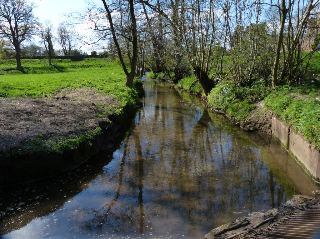
Finham Brook

The Finham Brook is a lower tributary of the River Sowe, it flows through Kenilworth and Warwickshire, England, to join the Sowe near Finham. Its principal...

Baginton

Baginton is a village and civil parish in the Warwick district of Warwickshire, England, and has a common border with the City of Coventry / West Midlands...

Stoneleigh, Warwickshire

Stoneleigh is a small village in Warwickshire, England, on the River Sowe, situated 4.5 miles (7.25 km) south of Coventry and 5.5 miles (9 km) north of...

Nearby Amenities

Located within 500m of 52.353384,-1.4868331
Generator Method: photovoltaic
Generator Output Electricity: yes
Generator Source: solar
Generator Type: solar_photovoltaic_panel
Location: roof
Power: generator
Lat/Long: 52.3556818/-1.4871441
The data included in this document is from www.openstreetmap.org. The data is made available under ODbL.

Have you been to Broken Bridge Spinney?

Leave your review of Broken Bridge Spinney below (or comments, questions and feedback).