Addlethorpe Wood

Wood, Forest in Yorkshire Harrogate

England

Addlethorpe Wood

Hedge View Looking through the hedge across the valley from the north-west corner of this square. The River Wharfe is just visible in the distance.
Hedge View Credit: Chris McLean

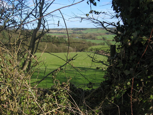
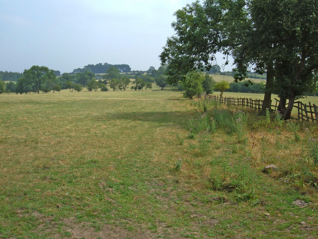
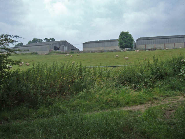
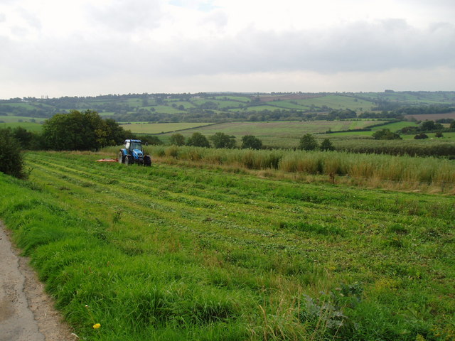
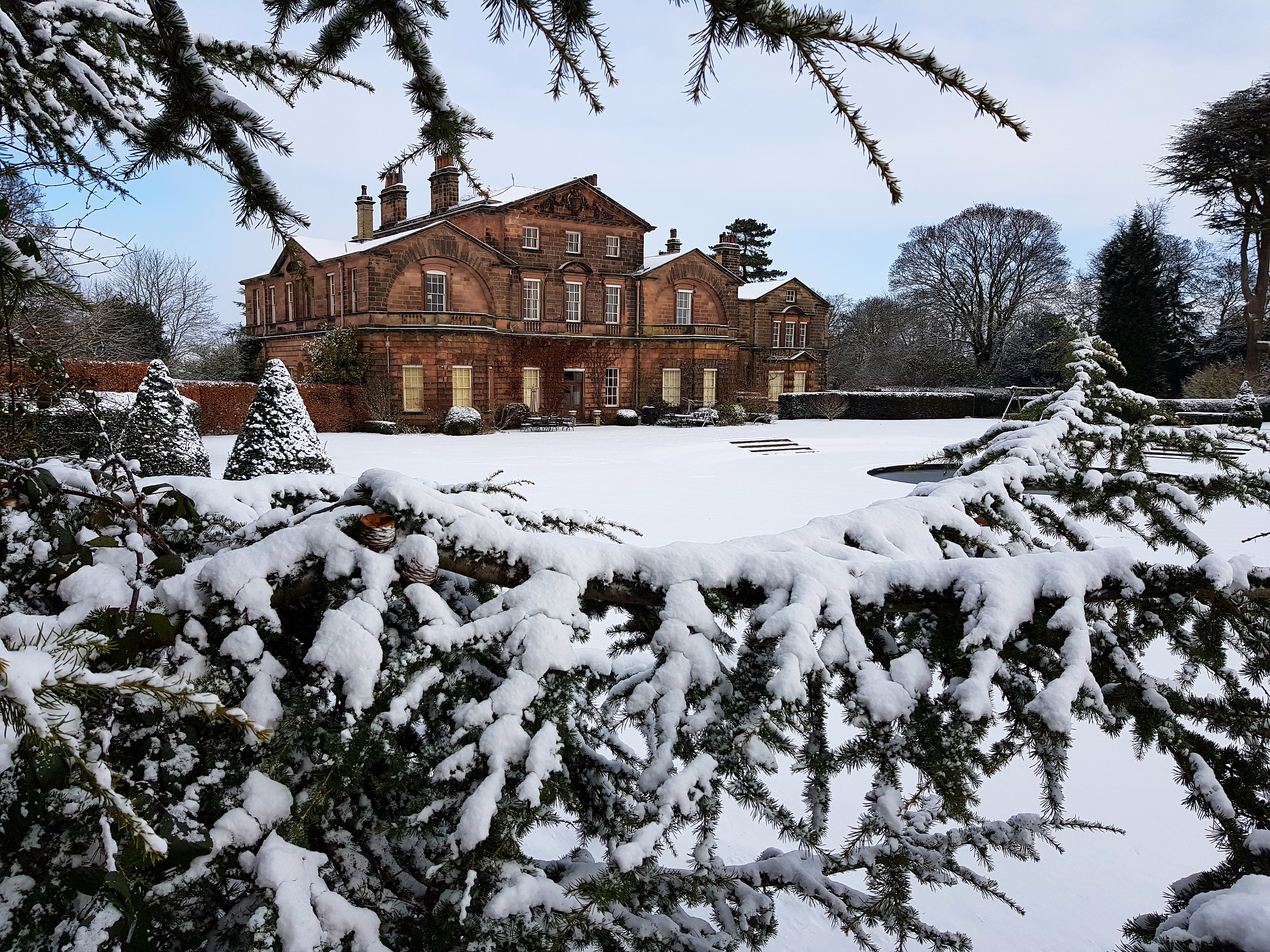
Addlethorpe Wood is a picturesque woodland located in the county of Yorkshire, England. Situated in the heart of the countryside, this enchanting forest covers an area of approximately 200 acres, offering visitors a tranquil and serene escape from the hustle and bustle of city life.

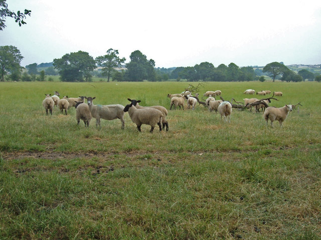
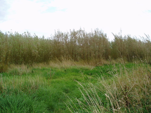
The wood is primarily composed of deciduous trees such as oak, beech, and ash, creating a rich and diverse ecosystem. These towering trees provide shade and shelter to a wide variety of wildlife, including birds, squirrels, and deer, making it a haven for nature enthusiasts and birdwatchers.

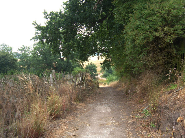
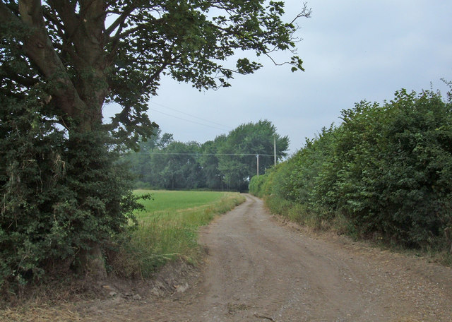
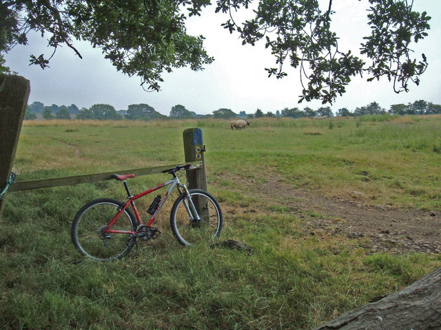
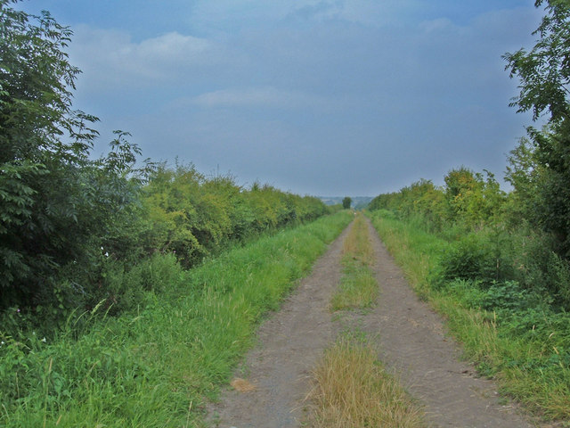
The forest floor is adorned with a vibrant carpet of wildflowers, ferns, and mosses, adding to the natural beauty of the surroundings. As visitors explore the wood, they can follow a network of well-maintained walking trails that wind through the trees, allowing for a leisurely and peaceful stroll.

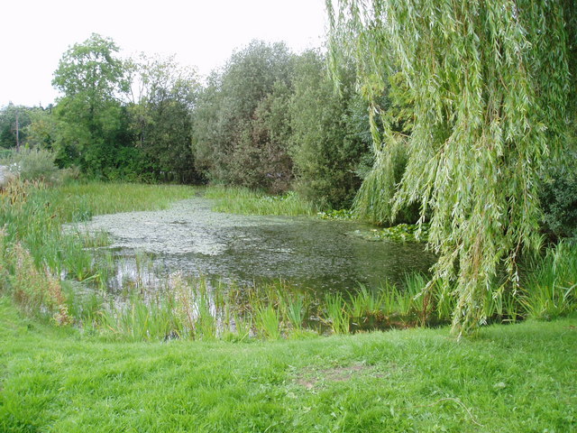
One of the standout features of Addlethorpe Wood is the presence of a meandering stream that gracefully flows through the heart of the forest. The sound of the babbling water adds to the overall tranquility of the area, creating a soothing ambiance for those who venture here.

The wood is popular among locals and tourists alike, attracting visitors throughout the year. In the spring, the forest comes alive with a burst of color as the trees bloom and the wildlife becomes more active. During the autumn months, the wood transforms into a breathtaking display of golden hues as the leaves change, creating a magical atmosphere.

Overall, Addlethorpe Wood is a hidden gem in Yorkshire, offering a peaceful sanctuary for those seeking to connect with nature and enjoy the enchanting beauty of a traditional English woodland.

If you have any feedback on the listing, please let us know in the comments section below.

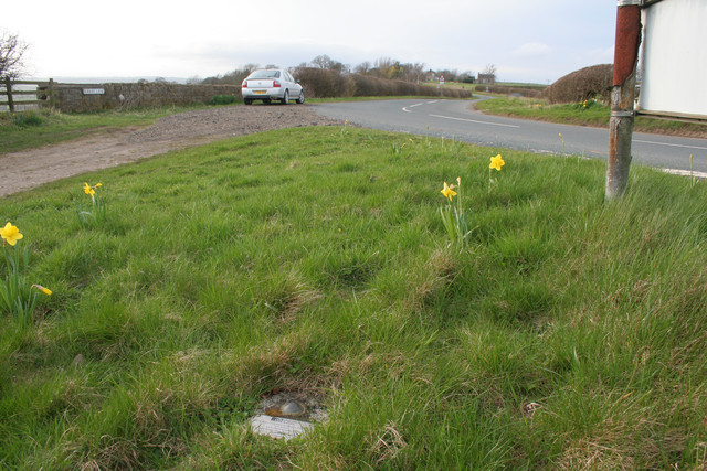
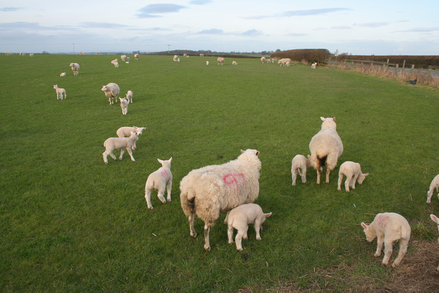
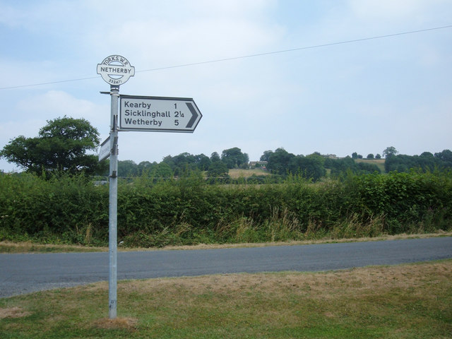
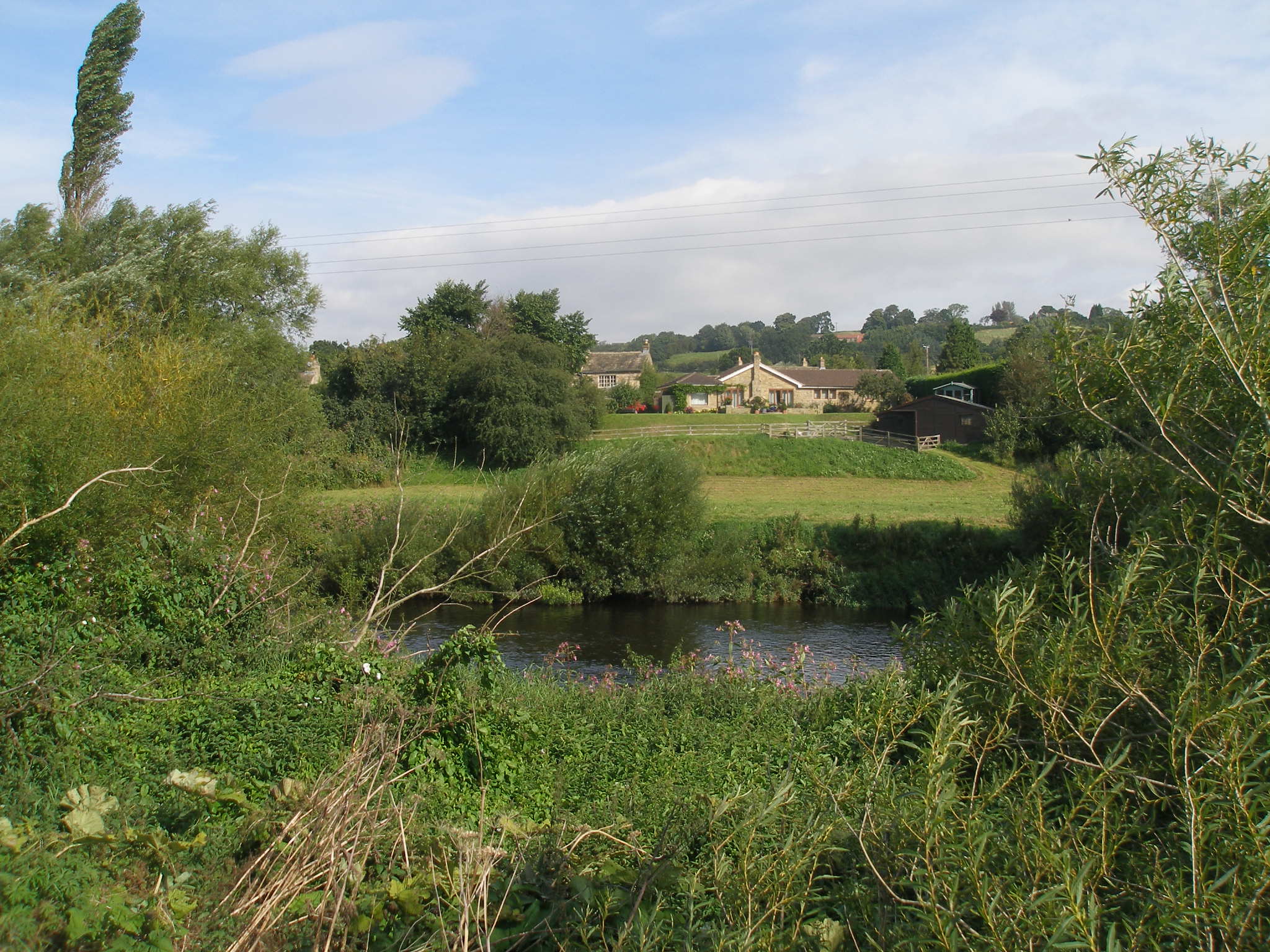
Addlethorpe Wood Images

Images are sourced within 2km of 53.929723/-1.4704759 or Grid Reference SE3448. Thanks to Geograph Open Source API. All images are credited.

Hedge View Looking through the hedge across the valley from the north-west corner of this square. The River Wharfe is just visible in the distance.
Hedge View
Looking through the hedge across the valley from the north-west corner of this square. The River Wharfe is just visible in the distance.
Fox Heads Lane Looking southeast from where two bridleways (High Lane and Fox Heads Lane) have a junction at Fox Heads Farm. This track leads to the village of Sicklinghall. Very pleasant mountain biking countryside.
Fox Heads Lane
Looking southeast from where two bridleways (High Lane and Fox Heads Lane) have a junction at Fox Heads Farm. This track leads to the village of Sicklinghall. Very pleasant mountain biking countryside.
High Lane, bridleway This bridleway runs to the southwest of Spofforth and serves High Park Farm and Parks Farm. The bridleway route can be extended to a minor road at Clap Gate making for an enjoyable off-road route of just over 3 miles. View looking west from the junction with the farm road to High Park Farm.
High Lane, bridleway
This bridleway runs to the southwest of Spofforth and serves High Park Farm and Parks Farm. The bridleway route can be extended to a minor road at Clap Gate making for an enjoyable off-road route of just over 3 miles. View looking west from the junction with the farm road to High Park Farm.
Bridleway (High Lane) Looking east back along the High Lane bridleway from where it ends at Ingham Whinn. From this point it turns south to become Keeper' Walk (another bridleway). It's a bit bumpy on a bike but perfectly legal.
Bridleway (High Lane)
Looking east back along the High Lane bridleway from where it ends at Ingham Whinn. From this point it turns south to become Keeper' Walk (another bridleway). It's a bit bumpy on a bike but perfectly legal.
Sheep Pasture, Barrowby Looking northeast across grazing land from where the Keepers' Walk bridleway meets the Marsh Lane bridleway near Lund head farm, Barrowby.
Sheep Pasture, Barrowby
Looking northeast across grazing land from where the Keepers' Walk bridleway meets the Marsh Lane bridleway near Lund head farm, Barrowby.
Lund Head Farm, Barrowby View west from where the bridleways Marsh Lane and Keepers' Walk meet. Marsh Lane is the track in the foreground. Turn left onto it for a splendid half mile stretch of singletrack between hedgerows.
Lund Head Farm, Barrowby
View west from where the bridleways Marsh Lane and Keepers' Walk meet. Marsh Lane is the track in the foreground. Turn left onto it for a splendid half mile stretch of singletrack between hedgerows.
Which way? Here the Marsh Lane bridleway splits. Left to Addlethorpe Wood and Sicklinghall; right towards Beck View Farm and Clap Gate. Either way, just follow the blue-topped posts. I turned right.
Which way?
Here the Marsh Lane bridleway splits. Left to Addlethorpe Wood and Sicklinghall; right towards Beck View Farm and Clap Gate. Either way, just follow the blue-topped posts. I turned right.
Bridleway to Spofforth This shot looks back up the last stretch of a 3-mile length of bridleway from Spofforth. The route is a mixture of double-track (like this), singletrack and indistinct lines alongside field boundaries. Great fun. View looking north from the minor road near Clap Gate.
Bridleway to Spofforth
This shot looks back up the last stretch of a 3-mile length of bridleway from Spofforth. The route is a mixture of double-track (like this), singletrack and indistinct lines alongside field boundaries. Great fun. View looking north from the minor road near Clap Gate.
Tractor at work The tractor is cutting an area of grass along the edge of plantation of willows being grown as a renewable energy crop.
Tractor at work
The tractor is cutting an area of grass along the edge of plantation of willows being grown as a renewable energy crop.
Willow Coppice on Paddock House Farm These willows are being grown to provide a source of renewable energy.
Willow Coppice on Paddock House Farm
These willows are being grown to provide a source of renewable energy.
Decorative chimneys at Paddock House Farm Each chimney on this farm house has a different pattern.
Decorative chimneys at Paddock House Farm
Each chimney on this farm house has a different pattern.
Restoration This old building is next to Poplar House on the outskirts of Sicklinghall. On the 1940 map it seems to be labelled Hospital.
Restoration
This old building is next to Poplar House on the outskirts of Sicklinghall. On the 1940 map it seems to be labelled Hospital.
Little Paddock Cottage, Sicklinghall One of many picturesque cottages in this small North Yorkshire village.
Little Paddock Cottage, Sicklinghall
One of many picturesque cottages in this small North Yorkshire village.
Scotts Arms, Sicklinghall The original name has been removed from the front of this pub, presumably to give more prominence to the chain it now belongs to.
Scotts Arms, Sicklinghall
The original name has been removed from the front of this pub, presumably to give more prominence to the chain it now belongs to.
Sicklinghall village pond
Wetherby Fundamental Bench Mark (close-up) Bench Marks Database: <span class="nowrap"><a title="http://www.bench-marks.org.uk/bm1177" rel="nofollow ugc noopener" href="http://www.bench-marks.org.uk/bm1177">Link</a><img style="margin-left:2px;" alt="External link" title="External link - shift click to open in new window" src="https://s1.geograph.org.uk/img/external.png" width="10" height="10"/></span>
Wetherby Fundamental Bench Mark (close-up)
Bench Marks Database: LinkExternal link
Wetherby Fundamental Bench Mark Looking along Kirkby Lane towards Barrowby. A closer view of the Bench Mark can be seen here: <a href="https://www.geograph.org.uk/photo/1793628">SE3447 : Wetherby Fundamental Bench Mark (close-up)</a>. Bench Marks Database: <span class="nowrap"><a title="http://www.bench-marks.org.uk/bm1177" rel="nofollow ugc noopener" href="http://www.bench-marks.org.uk/bm1177">Link</a><img style="margin-left:2px;" alt="External link" title="External link - shift click to open in new window" src="https://s1.geograph.org.uk/img/external.png" width="10" height="10"/></span>
Wetherby Fundamental Bench Mark
Looking along Kirkby Lane towards Barrowby. A closer view of the Bench Mark can be seen here: SE3447 : Wetherby Fundamental Bench Mark (close-up). Bench Marks Database: LinkExternal link
Sheep and Lambs
Sheep and Lambs
Show me another place!

Addlethorpe Wood is located at Grid Ref: SE3448 (Lat: 53.929723, Lng: -1.4704759)

Division: West Riding

Administrative County: North Yorkshire

District: Harrogate

Police Authority: North Yorkshire

What 3 Words

///skirting.liberated.collapsed. Near Spofforth, North Yorkshire

Related Wikis

Kearby with Netherby

Kearby with Netherby is a civil parish in North Yorkshire, England. The parish includes the hamlets of Barrowby, Netherby and Kearby Town End. The parish...

Sicklinghall

Sicklinghall is a village and civil parish in North Yorkshire, England that is situated between the town of Wetherby (3 miles (5 km) to the east) and the...

Netherby, North Yorkshire

Netherby is a village in the Harrogate district of North Yorkshire, England.

Stockeld Park

Stockeld Park is a Grade-I listed country house and estate situated between the towns of Wetherby and Harrogate, North Yorkshire, England, which is now...

Wood Hall Hotel and Spa

Wood Hall Hotel and Spa, Trip Lane, is an AA four-star, 44-room country house hotel with an AA two-rosette restaurant, about one mile from the English...

The Christmas Adventure

The Christmas Adventure is a seasonal event held at the 2,000-acre (8.1 km2) Stockeld Park estate in North Yorkshire, England.Initially a supplement to...

Kirkby Overblow

Kirkby Overblow is a village and civil parish in North Yorkshire, England. It is situated between Wetherby and Harrogate and lies to the west of Sicklinghall...

Spofforth with Stockeld

Spofforth with Stockeld is a civil parish in the Harrogate district of North Yorkshire, England. According to the 2001 UK census, Spofforth with Stockeld...

Nearby Amenities

Located within 500m of 53.929723,-1.4704759
Addlethorpe Grange
Building: yes
Source: NPE
Lat/Long: 53.9326237/-1.470264
The data included in this document is from www.openstreetmap.org. The data is made available under ODbL.

Have you been to Addlethorpe Wood?

Leave your review of Addlethorpe Wood below (or comments, questions and feedback).