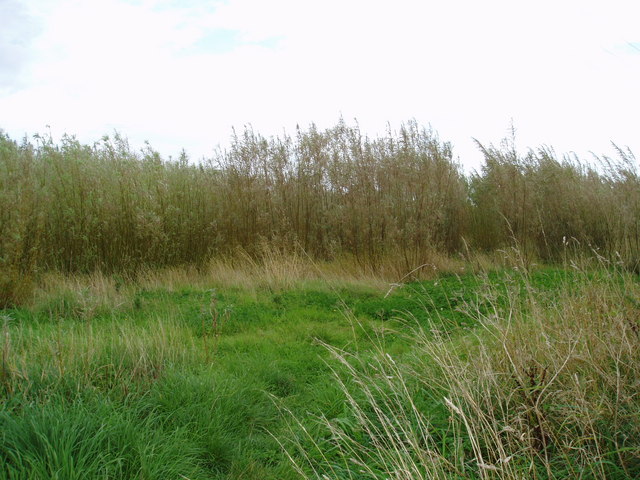
Willowgarth Wood
Wood, Forest in Yorkshire Harrogate
England
Willowgarth Wood
The requested URL returned error: 429 Too Many Requests
If you have any feedback on the listing, please let us know in the comments section below.
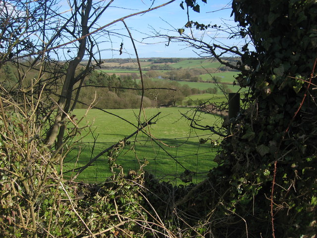
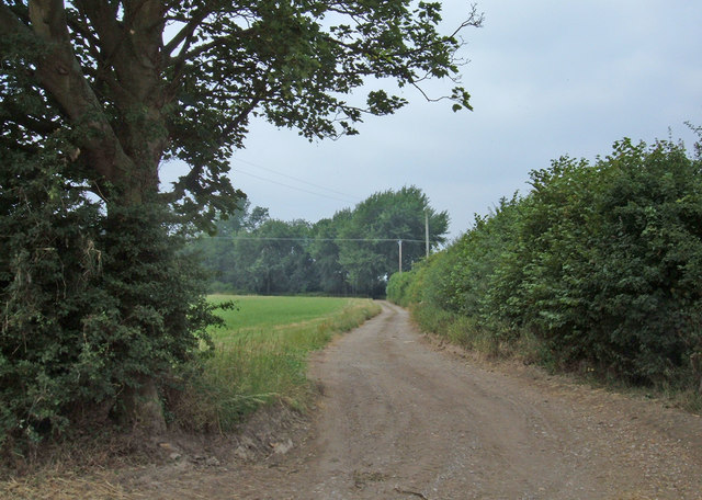
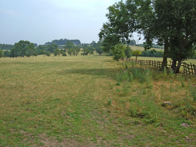
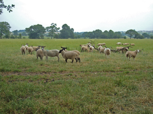
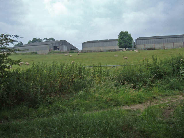
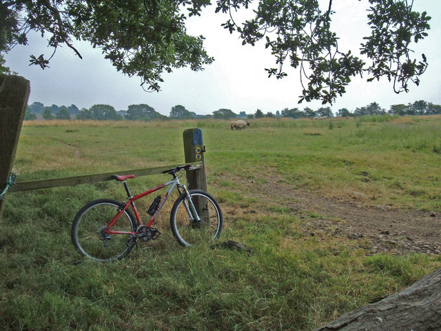
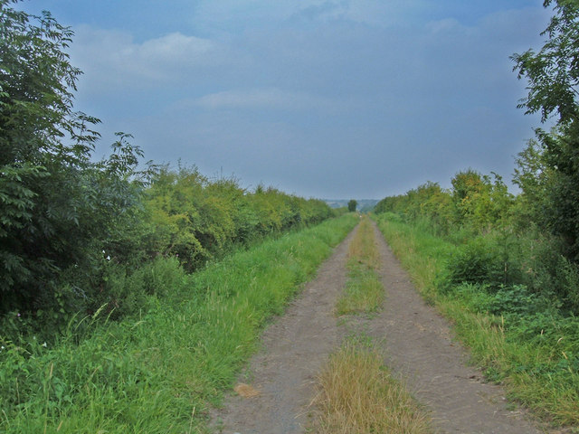
Willowgarth Wood Images
Images are sourced within 2km of 53.927728/-1.4807655 or Grid Reference SE3448. Thanks to Geograph Open Source API. All images are credited.

![Swindon Lane, Kirkby Overblow Houses on Swindon Lane in the village centre. In medieval times Kirkby Overblow was a centre for iron ore smelting [the 'Overblow' may have connections with smelting], with local low grade ores being brought here from locations mainly west and north of the village. This industry appears to have ended by the beginning of the 15th century, and Kirkby became just another agricultural settlement - until the age of the commuter.](https://s0.geograph.org.uk/geophotos/01/14/05/1140560_5b21387c.jpg)
Willowgarth Wood is located at Grid Ref: SE3448 (Lat: 53.927728, Lng: -1.4807655)
Division: West Riding
Administrative County: North Yorkshire
District: Harrogate
Police Authority: North Yorkshire
What 3 Words
///grudge.kickbacks.instant. Near Spofforth, North Yorkshire
Nearby Locations
Related Wikis
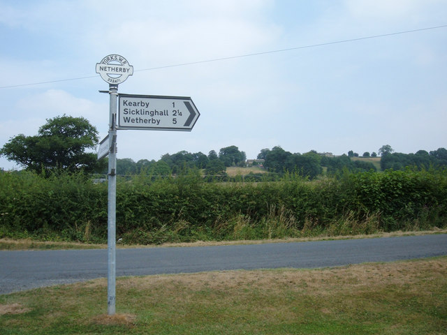
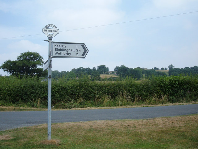
Kearby with Netherby
Kearby with Netherby is a civil parish in North Yorkshire, England. The parish includes the hamlets of Barrowby, Netherby and Kearby Town End. The parish...
Netherby, North Yorkshire
Netherby is a village in the Harrogate district of North Yorkshire, England. It lies at grid reference SE333468, on the north bank of the River Wharfe...

Kirkby Overblow
Kirkby Overblow is a village and civil parish in North Yorkshire, England. It is situated between Wetherby and Harrogate and lies to the west of Sicklinghall...

Sicklinghall
Sicklinghall is a village and civil parish in North Yorkshire, England that is situated between the town of Wetherby (3 miles (5 km) to the east) and the...
Nearby Amenities
Located within 500m of 53.927728,-1.4807655Have you been to Willowgarth Wood?
Leave your review of Willowgarth Wood below (or comments, questions and feedback).