The Rough

Wood, Forest in Warwickshire Nuneaton and Bedworth

England

The Rough

Site of former Stanley's Brickworks This picture was taken from the top of a mound at the bottom of Cambridge Drive, looking north-west towards Montana Walk. This landscaped green stretch of mounds and hollows, surrounded by housing developments dating from the 1980s-90s, is what has become of the land formerly occupied by Stanley's brickworks, whose factory was a little further to the east, just south of Croft School.
Site of former Stanley's Brickworks Credit: Steve Courtney

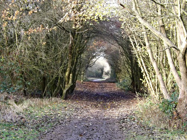
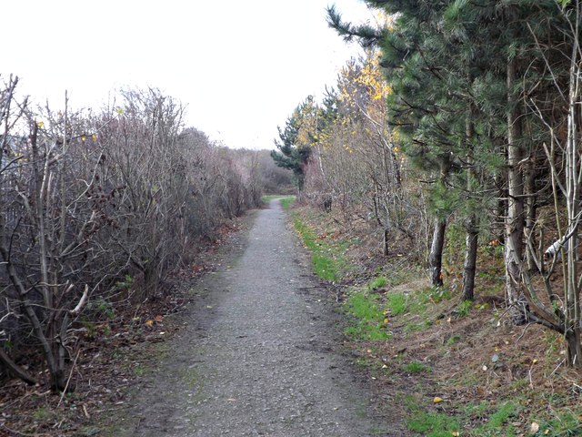
The Rough, located in Warwickshire, England, is a dense woodland area known for its natural beauty and rich wildlife. Covering an area of approximately 500 acres, this forested land is a popular destination for nature enthusiasts and hikers alike.

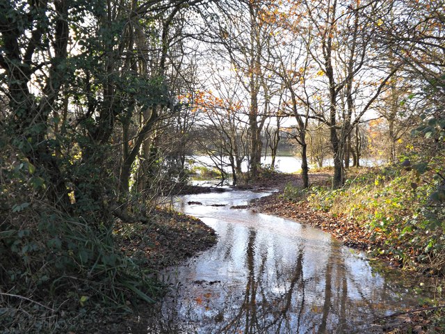
The Rough offers a diverse range of flora and fauna, with a variety of tree species such as oak, beech, and pine dominating the landscape. The forest floor is adorned with lush undergrowth, including ferns, bluebells, and wildflowers, adding to its picturesque charm.

The woodland is also home to a plethora of wildlife, making it a haven for animal lovers. Visitors may spot various bird species, including woodpeckers, owls, and jays, as well as mammals such as deer, foxes, and rabbits. The forest's secluded location and tranquil environment provide a perfect habitat for these creatures.

For outdoor enthusiasts, The Rough offers a network of well-maintained walking trails, providing opportunities for exploration and adventure. The trails cater to different difficulty levels, accommodating both casual strollers and avid hikers. Along the paths, visitors can enjoy breathtaking views of the forest, listen to the soothing sounds of nature, and breathe in the fresh, crisp air.

The Rough is a true gem in Warwickshire, offering a peaceful escape from the hustle and bustle of everyday life. Its natural beauty, diverse wildlife, and well-designed trails make it a must-visit destination for anyone seeking a connection with nature.

If you have any feedback on the listing, please let us know in the comments section below.
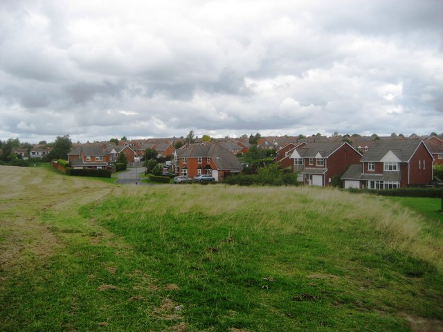
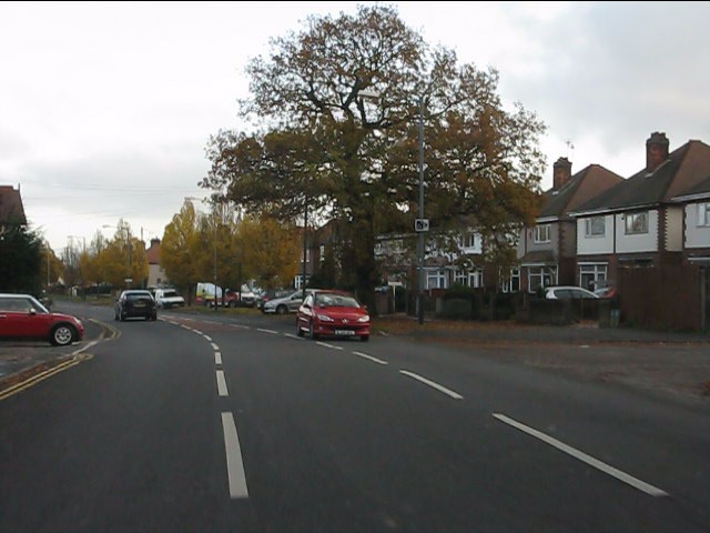
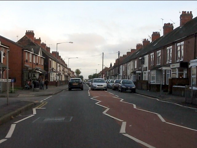
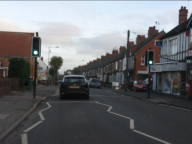
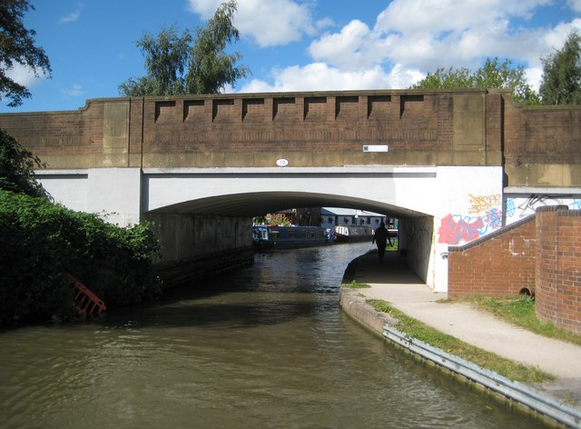
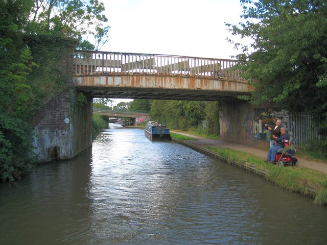
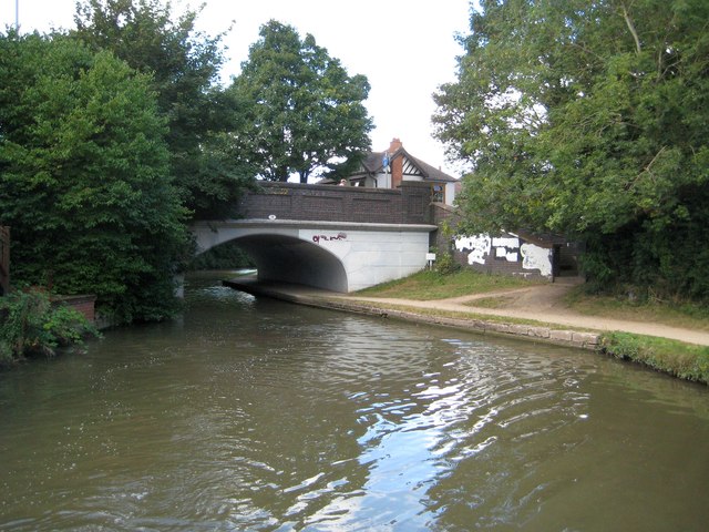
The Rough Images

Images are sourced within 2km of 52.500731/-1.4907473 or Grid Reference SP3489. Thanks to Geograph Open Source API. All images are credited.

Site of former Stanley's Brickworks This picture was taken from the top of a mound at the bottom of Cambridge Drive, looking north-west towards Montana Walk. This landscaped green stretch of mounds and hollows, surrounded by housing developments dating from the 1980s-90s, is what has become of the land formerly occupied by Stanley's brickworks, whose factory was a little further to the east, just south of Croft School.
Site of former Stanley's Brickworks
This picture was taken from the top of a mound at the bottom of Cambridge Drive, looking north-west towards Montana Walk. This landscaped green stretch of mounds and hollows, surrounded by housing developments dating from the 1980s-90s, is what has become of the land formerly occupied by Stanley's brickworks, whose factory was a little further to the east, just south of Croft School.
Arbury Road at Seeswood Close
Arbury Road at The Poplars
Local shops on Arbury Road
Arbury Road roundabout Traffic queues for around one hundred yards on the opposite side of the road waiting for a bus which is blocking the road while loading a passenger.
Arbury Road roundabout
Traffic queues for around one hundred yards on the opposite side of the road waiting for a bus which is blocking the road while loading a passenger.
Nuneaton : Coventry Road Coventry Road on a foggy day in Nuneaton.
Nuneaton : Coventry Road
Coventry Road on a foggy day in Nuneaton.
Nuneaton : Coventry Canal Looking down to the Coventry Canal from the A444.
Nuneaton : Coventry Canal
Looking down to the Coventry Canal from the A444.
Nuneaton : College Street College Street as seen from the roundabout on the A444.
Nuneaton : College Street
College Street as seen from the roundabout on the A444.
Nuneaton : The A444 The A444 heading towards Bermuda from Nuneaton town centre.
Nuneaton : The A444
The A444 heading towards Bermuda from Nuneaton town centre.
Nuneaton : BP Petrol Station A BP petrol station just off of the A444.
Nuneaton : BP Petrol Station
A BP petrol station just off of the A444.
Nuneaton : Travelodge A Travelodge just off of the A444 in Nuneaton.
Nuneaton : Travelodge
A Travelodge just off of the A444 in Nuneaton.
Nuneaton : Donnithorne Avenue Looking up Donnithorne Avenue from Coventry Road.
Nuneaton : Donnithorne Avenue
Looking up Donnithorne Avenue from Coventry Road.
Coventry Canal: Bridge Number 20: Boot Bridge Boot Bridge carries the Bull Ring / Bridge Street road over the canal in Chilvers Coton. Boot Wharf is beyond the bridge and the Boot Inn is up onto the road and to the left. The photographer does not know which came first.
Coventry Canal: Bridge Number 20: Boot Bridge
Boot Bridge carries the Bull Ring / Bridge Street road over the canal in Chilvers Coton. Boot Wharf is beyond the bridge and the Boot Inn is up onto the road and to the left. The photographer does not know which came first.
Coventry Canal: Bridge Number 19B: Chilvers Coton Railway Bridge The London & North Western Railway built their Coventry & Nuneaton Branch Line across the canal here, opening it in 1850. The line was closed to passenger traffic in 1965, but was reopened in 1987. The former Chilvers Coton station was just to the left of the bridge.

The passer-by on the towpath is helping the man on the mobility scooter to thread his fishing line - a nice helpful gesture.
Coventry Canal: Bridge Number 19B: Chilvers Coton Railway Bridge
The London & North Western Railway built their Coventry & Nuneaton Branch Line across the canal here, opening it in 1850. The line was closed to passenger traffic in 1965, but was reopened in 1987. The former Chilvers Coton station was just to the left of the bridge. The passer-by on the towpath is helping the man on the mobility scooter to thread his fishing line - a nice helpful gesture.
Coventry Canal: Bridge Number 19: Wharf Inn Bridge The 1888 Ordnance Survey map shows the "Old Wharf Inn" to the left of the bridge with the wharf on the left too. The inn has now gone and the bridge now carries the B4113 Coventry Road over the canal. Incidentally looking at Google Street View (June 2009 imagery) to check the current status of the inn showed a police mobile speed camera enforcement van parked up on the bridge...
Coventry Canal: Bridge Number 19: Wharf Inn Bridge
The 1888 Ordnance Survey map shows the "Old Wharf Inn" to the left of the bridge with the wharf on the left too. The inn has now gone and the bridge now carries the B4113 Coventry Road over the canal. Incidentally looking at Google Street View (June 2009 imagery) to check the current status of the inn showed a police mobile speed camera enforcement van parked up on the bridge...
Ensors Arch A natural Arch of Branches taken beside Ensors Pool, Nuneaton after the very heavy rain Nov 2012
Ensors Arch
A natural Arch of Branches taken beside Ensors Pool, Nuneaton after the very heavy rain Nov 2012
Ensors Approach One of the three approach footpaths to Ensors Pool. This one is from Bermuda Road.
Ensors Approach
One of the three approach footpaths to Ensors Pool. This one is from Bermuda Road.
Overflowing Ensors A flooded pathway adjacent to Ensors Pool after the heavy rains.
Overflowing Ensors
A flooded pathway adjacent to Ensors Pool after the heavy rains.
Show me another place!

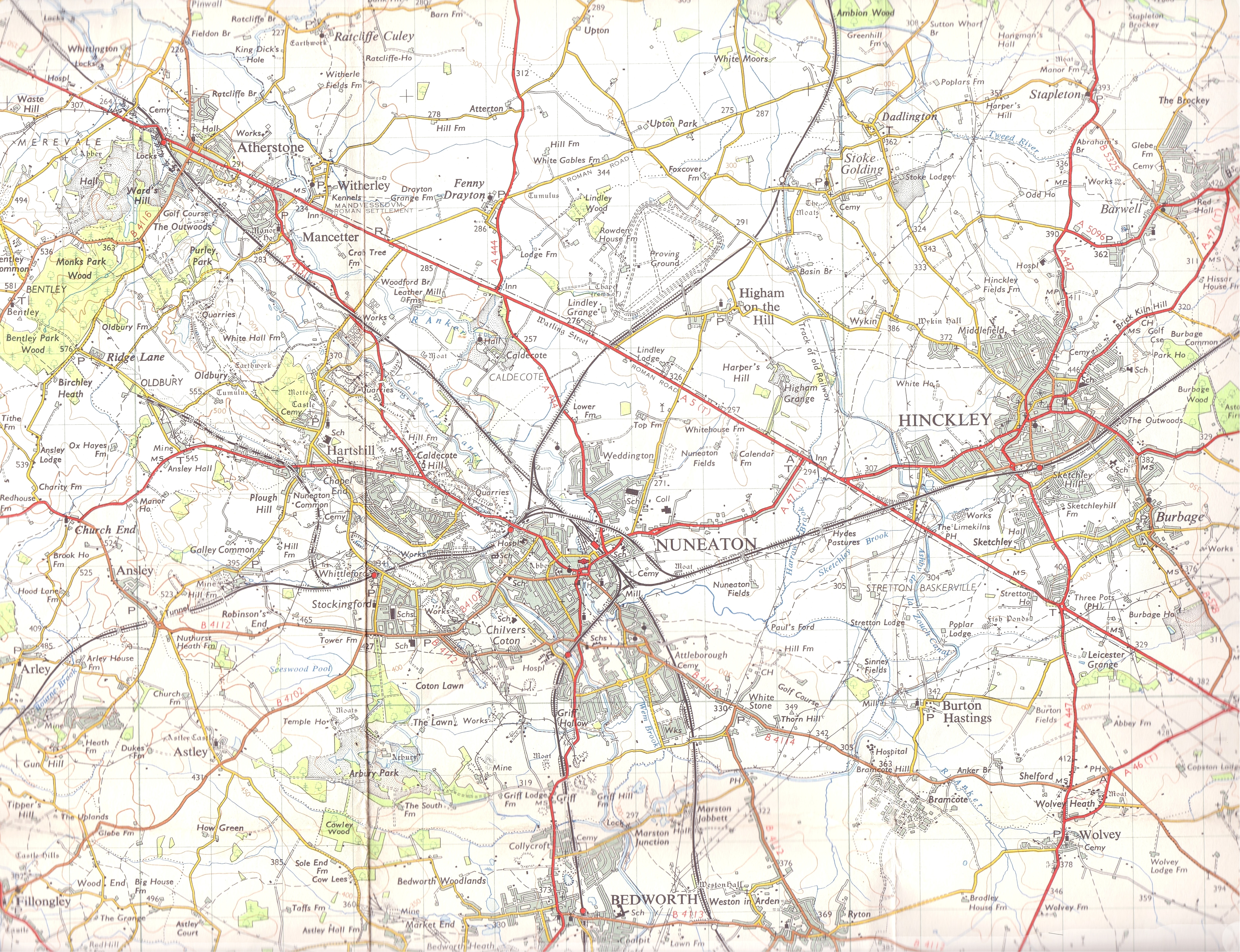
The Rough is located at Grid Ref: SP3489 (Lat: 52.500731, Lng: -1.4907473)

Administrative County: Warwickshire

District: Nuneaton and Bedworth

Police Authority: Warwickshire

What 3 Words

///spoon.stem.bath. Near Bedworth, Warwickshire

Nearby Locations

The Rough

Related Wikis

Bermuda, Warwickshire

Bermuda is a suburb of Nuneaton in the English county of Warwickshire. Bermuda was originally a small pit village built in 1893 to house workers for the...

Griff, Warwickshire

Griff is a hamlet in the Nuneaton and Bedworth district of Warwickshire, England. The hamlet is on the A444 road between the towns of Nuneaton and Bedworth...

Arbury Priory

Arbury Priory was an Augustinian priory in the parish of Chilvers Coton, Warwickshire, England. The priory was founded early in the reign of Henry II...

Arbury Hall

Arbury Hall (grid reference SP335893) is a Grade I listed country house in Nuneaton, Warwickshire, England, and the ancestral home of the Newdigate family...

Nearby Amenities

Located within 500m of 52.500731,-1.4907473
The data included in this document is from www.openstreetmap.org. The data is made available under ODbL.

Have you been to The Rough?

Leave your review of The Rough below (or comments, questions and feedback).