Allestree Park
Wood, Forest in Derbyshire
England
Allestree Park
Allestree Park is a picturesque woodland located in Derbyshire, England. Covering an area of approximately 320 acres, it provides a tranquil escape from the bustling city of Derby, which lies just a few miles away. The park is nestled within the wider Allestree area, surrounded by residential neighborhoods.
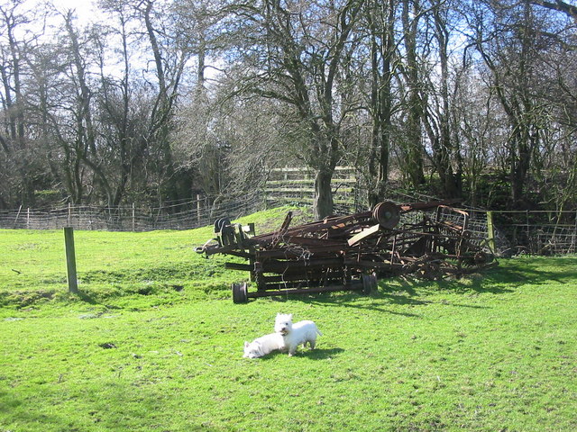
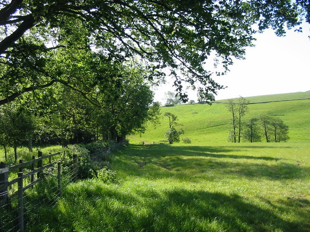
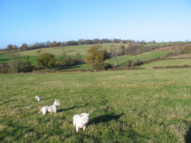
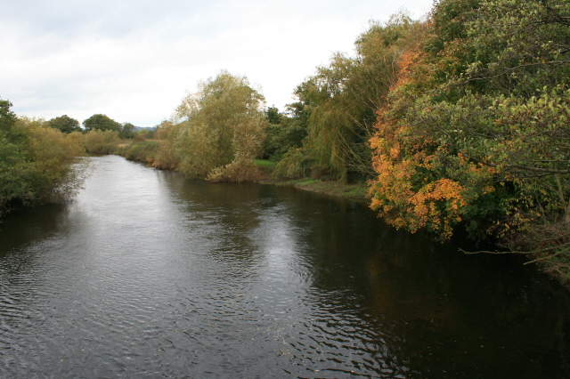
The park is renowned for its stunning natural beauty, consisting of a mix of woodlands, forests, and open fields. A prominent feature of Allestree Park is its ancient oak trees, some of which are believed to be over 500 years old. These majestic trees lend a sense of grandeur to the park, creating a serene and timeless atmosphere.
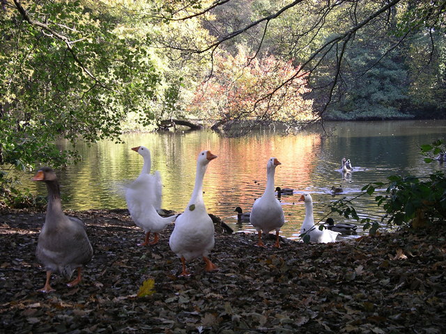
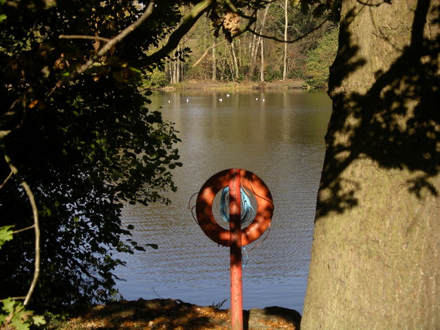
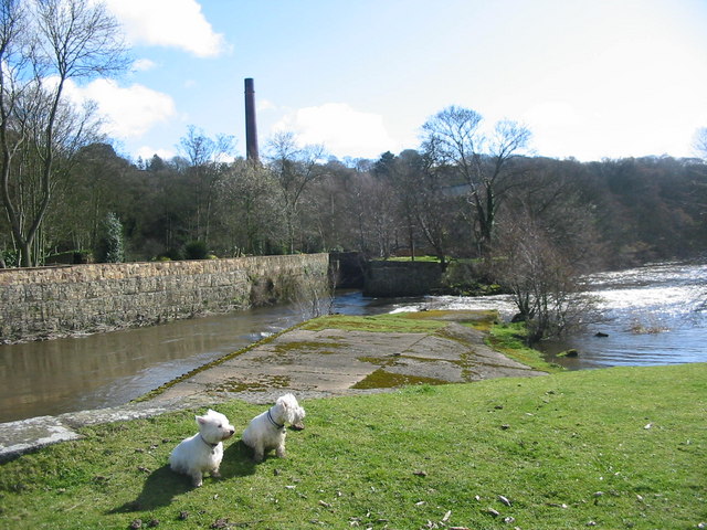
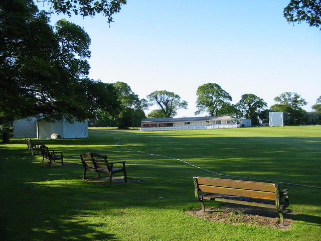
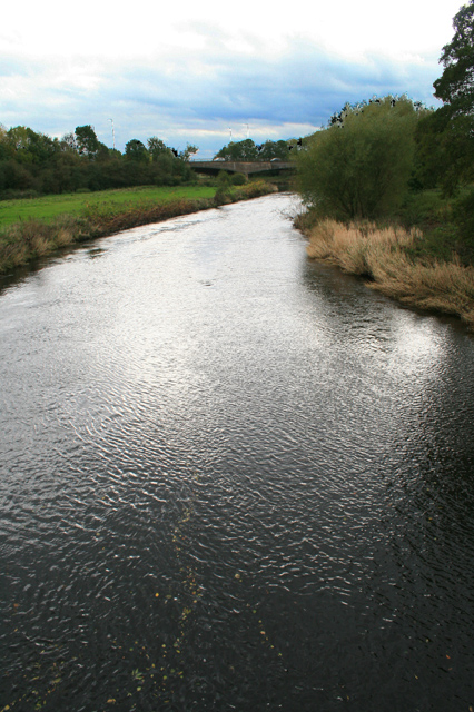
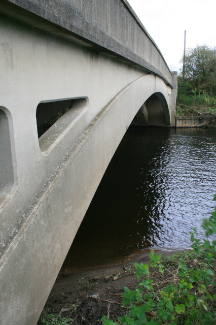
Visitors to Allestree Park can enjoy a variety of activities, including walking, jogging, and cycling. There are numerous well-maintained footpaths and trails that wind through the park, offering scenic views of the surrounding landscape. The park also boasts a large lake, which is a popular spot for fishing and birdwatching.
For those seeking a more leisurely experience, Allestree Park offers ample picnic areas and benches where visitors can relax and soak in the peaceful surroundings. The park is home to a diverse array of wildlife, including squirrels, rabbits, and a wide variety of birds, making it a haven for nature enthusiasts.
Allestree Park is a beloved destination for locals and visitors alike, offering a serene and idyllic retreat amidst nature's splendor. Whether one seeks adventure or simply desires a peaceful respite, this woodland oasis is sure to captivate and rejuvenate all who explore its enchanting trails.
If you have any feedback on the listing, please let us know in the comments section below.
Allestree Park Images
Images are sourced within 2km of 52.961299/-1.4928434 or Grid Reference SK3440. Thanks to Geograph Open Source API. All images are credited.
Allestree Park is located at Grid Ref: SK3440 (Lat: 52.961299, Lng: -1.4928434)
Unitary Authority: Derby
Police Authority: Derbyshire
What 3 Words
///makes.river.total. Near Little Eaton, Derbyshire
Nearby Locations
Related Wikis
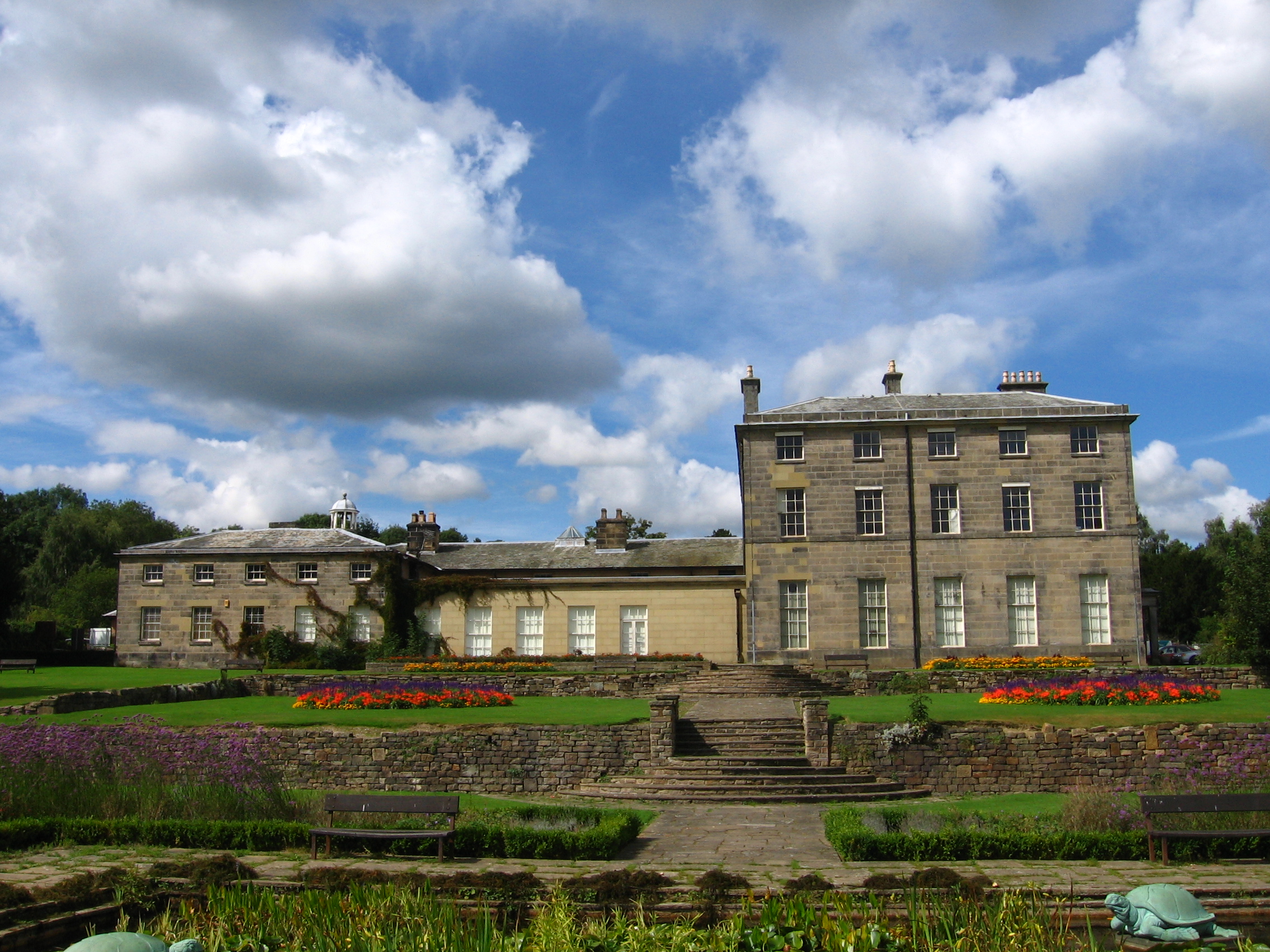
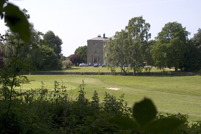
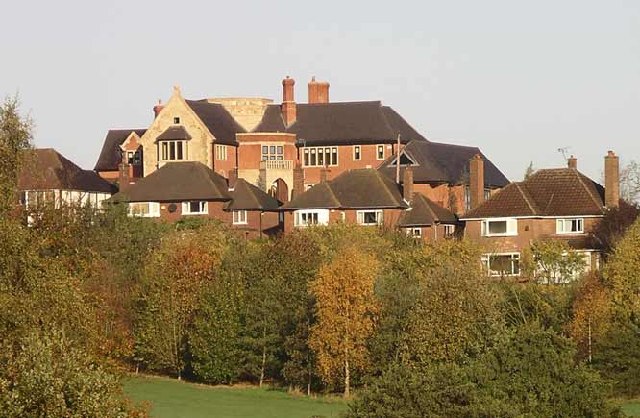
Allestree Hall
Allestree Hall is a 19th-century former country house situated in Allestree Park, Allestree, Derby. It is a Grade II* listed building but has been unoccupied...

St Paul's Church, Quarndon
St Paul's Church, Quarndon is a Grade II listed parish church in the Church of England: 300 in Quarndon, Derbyshire. == History == The old church was...

Quarndon
Quarndon is a linear village in the south of the Amber Valley District of Derbyshire, England. It is spread along four minor upland roads, approximately...

Allestree Woodlands School
Allestree Woodlands School (formerly Woodlands School) is a coeducational academy secondary school and sixth form in Derby, England. == Admissions == The...

Burley Hill
Burley Hill is a hamlet in the Erewash district, in the county if Derbyshire, England. It is located one mile north of Allestree. Burley Hill was the location...
Allestree
Allestree is a suburb and ward of the city of Derby, a unitary authority area, in Derbyshire, England. It is the northernmost ward and is on the A6 road...

Derby North (UK Parliament constituency)
Derby North () is a constituency formed of part of the city of Derby, represented in the House of Commons of the UK Parliament since 2019 by Amanda Solloway...
Saint Benedict Catholic Voluntary Academy
Saint Benedict Catholic Voluntary Academy is a Catholic secondary school with academy status in the Darley Abbey district of Derby. It has around 1500...
Nearby Amenities
Located within 500m of 52.961299,-1.4928434Have you been to Allestree Park?
Leave your review of Allestree Park below (or comments, questions and feedback).