Big Wood
Wood, Forest in Derbyshire
England
Big Wood
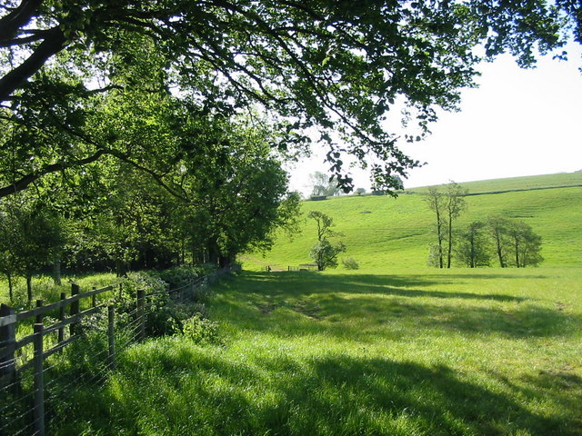
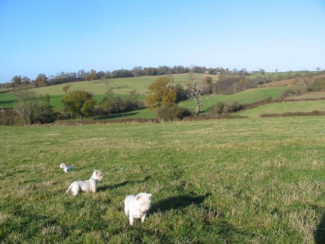
Big Wood is a large forest located in Derbyshire, England. It spans over a vast area and is known for its dense and diverse vegetation. The forest is situated in a hilly region, with its highest point reaching approximately 400 meters above sea level.
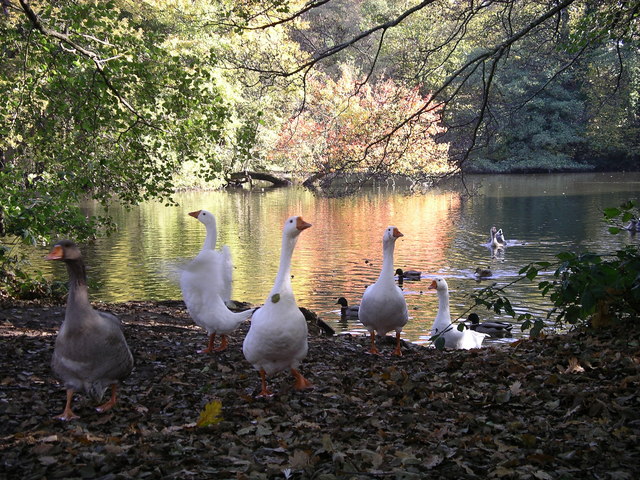
Big Wood is made up of a variety of tree species, including oak, beech, and pine. These trees create a dense canopy, providing shelter and habitats for numerous wildlife species. The forest is home to a wide range of animals, including deer, foxes, badgers, and various bird species.
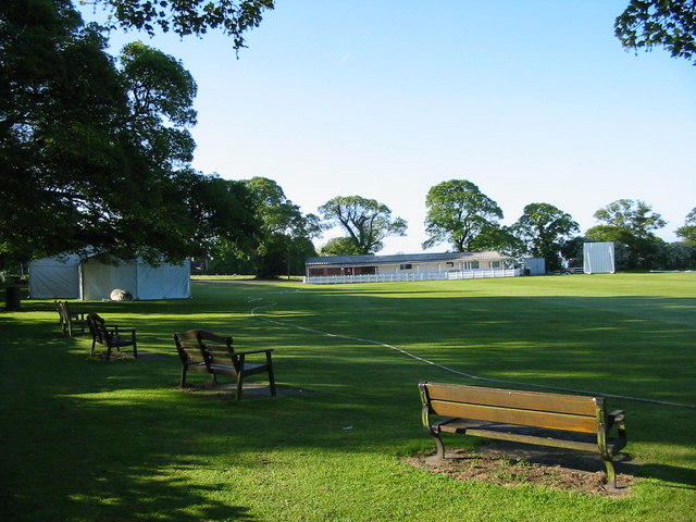
The wood is crisscrossed by a network of footpaths, making it a popular destination for nature enthusiasts and hikers. The paths wind through the forest, allowing visitors to explore its beauty and enjoy the tranquility of the surroundings.
In addition to its natural beauty, Big Wood also holds historical significance. The forest has been a part of the region's history for centuries and has witnessed various human activities. It was once used for timber production, providing wood for construction and fuel. Today, it is primarily preserved for its ecological value and as a recreational space for the public.
Overall, Big Wood is a picturesque forest in Derbyshire, offering a peaceful retreat for those seeking to connect with nature. With its dense vegetation, diverse wildlife, and historical importance, it remains a cherished natural asset in the region.
If you have any feedback on the listing, please let us know in the comments section below.
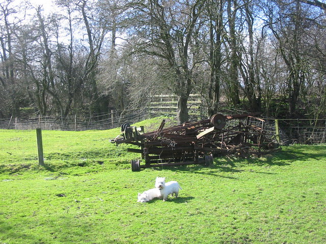
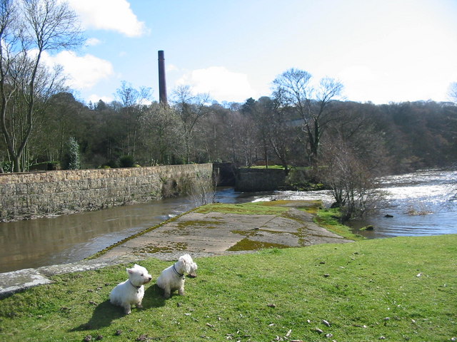
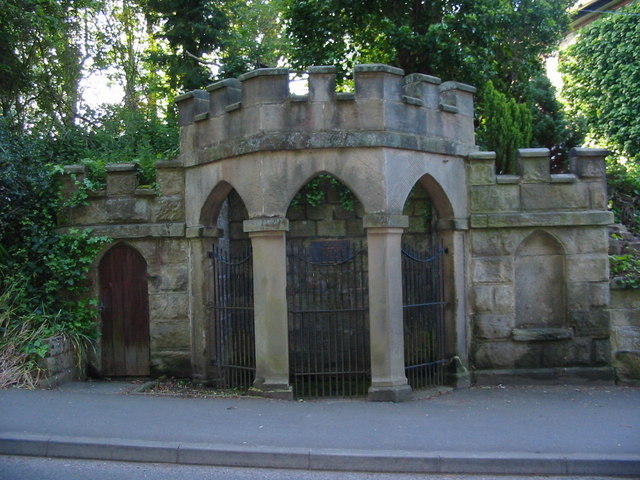
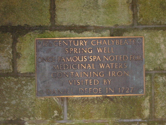
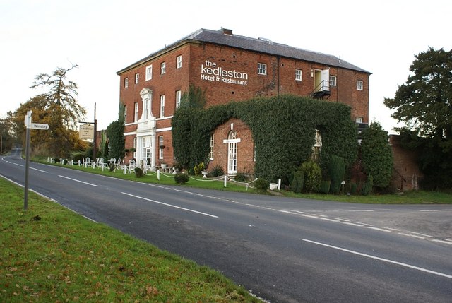
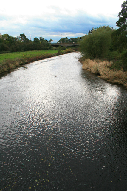
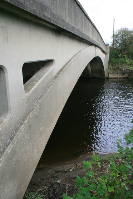
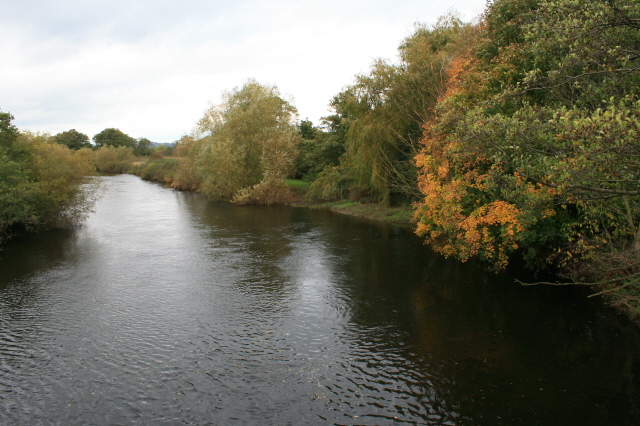
Big Wood Images
Images are sourced within 2km of 52.961955/-1.4929102 or Grid Reference SK3440. Thanks to Geograph Open Source API. All images are credited.
Big Wood is located at Grid Ref: SK3440 (Lat: 52.961955, Lng: -1.4929102)
Unitary Authority: Derby
Police Authority: Derbyshire
What 3 Words
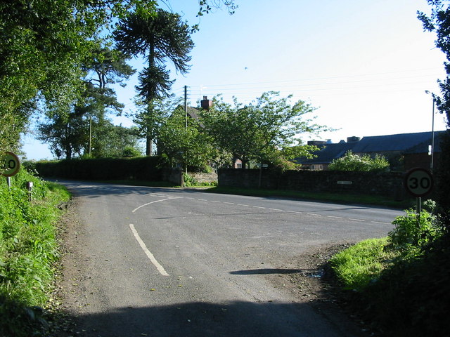
///dame.forks.libraries. Near Little Eaton, Derbyshire
Nearby Locations
Related Wikis
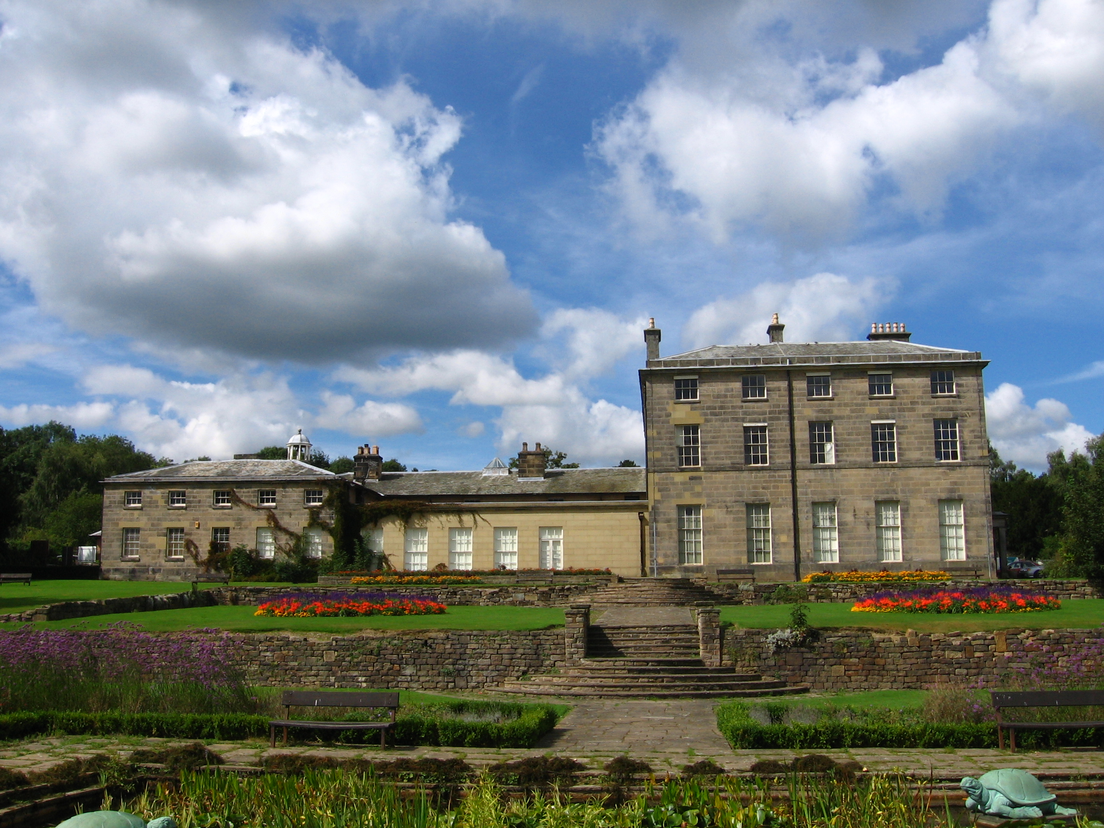
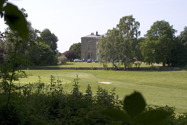
Allestree Hall
Allestree Hall is a 19th-century former country house situated in Allestree Park, Allestree, Derby. It is a Grade II* listed building but has been unoccupied...

St Paul's Church, Quarndon
St Paul's Church, Quarndon is a Grade II listed parish church in the Church of England: 300 in Quarndon, Derbyshire. == History == The old church was...

Quarndon
Quarndon is a linear village in the south of the Amber Valley District of Derbyshire, England. It is spread along four minor upland roads, approximately...

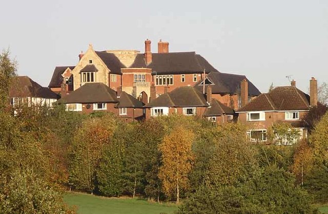
Allestree Woodlands School
Allestree Woodlands School (formerly Woodlands School) is a coeducational academy secondary school and sixth form in Derby, England. == Admissions == The...
Nearby Amenities
Located within 500m of 52.961955,-1.4929102Have you been to Big Wood?
Leave your review of Big Wood below (or comments, questions and feedback).