Bank Wood
Wood, Forest in Derbyshire North East Derbyshire
England
Bank Wood
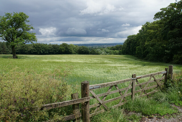
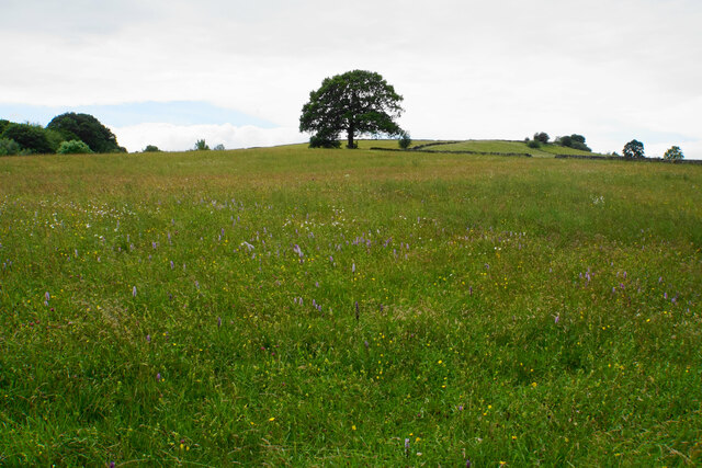
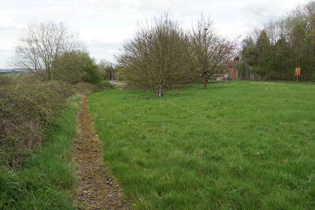
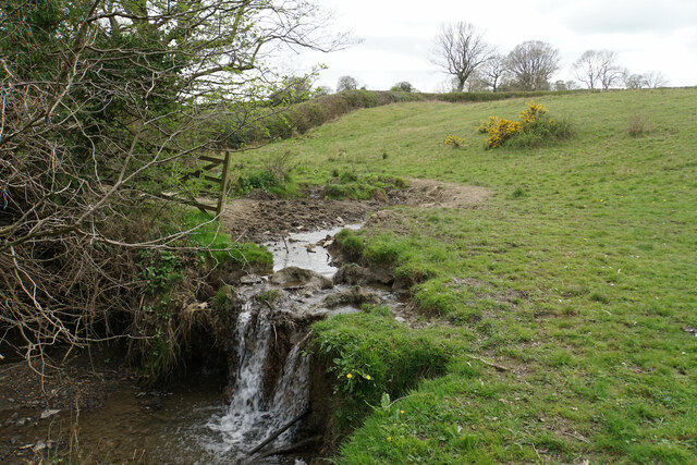
Bank Wood is a picturesque forest located in Derbyshire, England. Covering an area of approximately 50 acres, it is a popular destination for nature enthusiasts and hikers looking to explore the beauty of the region. The wood is situated on the outskirts of the village of Bank, hence its name.
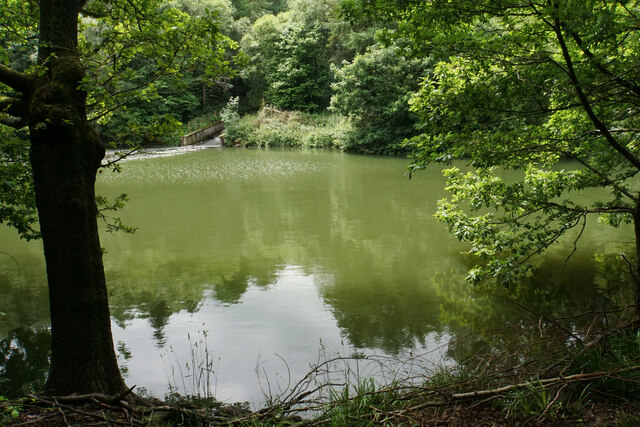
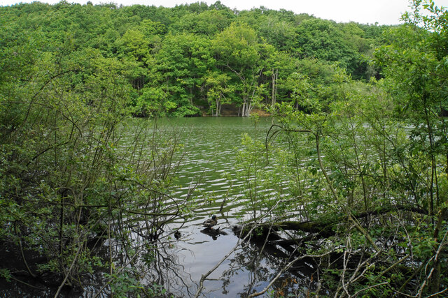
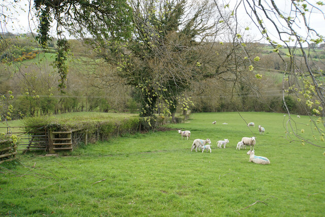
The forest is characterized by a diverse range of flora and fauna, making it an important ecological site. The wood is mainly composed of native broadleaf trees, such as oak, birch, and beech, which create a dense and lush canopy during the summer months. This provides a sanctuary for various bird species, including woodpeckers, owls, and thrushes. Additionally, visitors may also spot small mammals like squirrels and rabbits scurrying among the undergrowth.
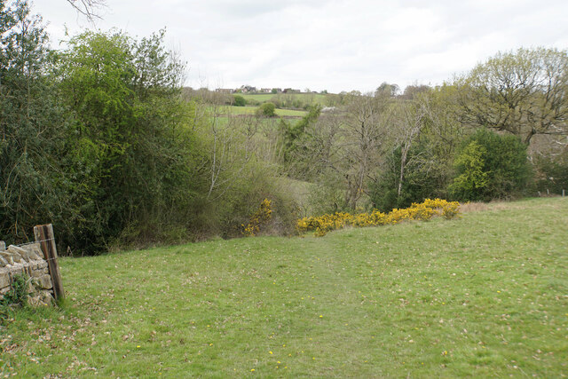
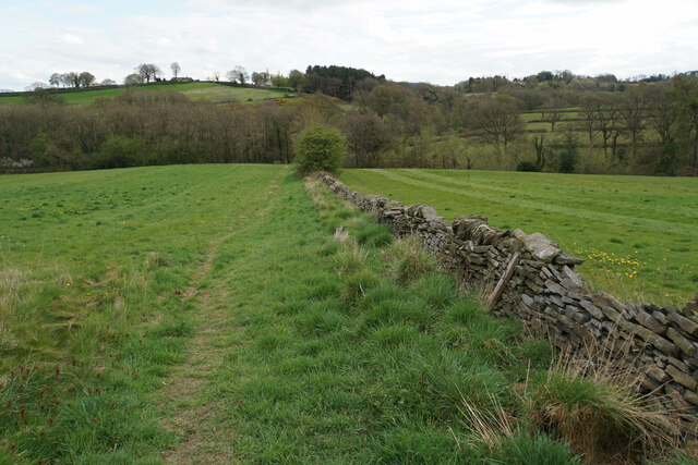
There are several well-maintained footpaths that wind their way through the wood, allowing visitors to explore its natural beauty. These paths are suitable for walkers of all abilities, with some routes offering more challenging terrain for those seeking a more adventurous hike. Along the way, visitors can enjoy the tranquil atmosphere and take in breathtaking views of the surrounding countryside.
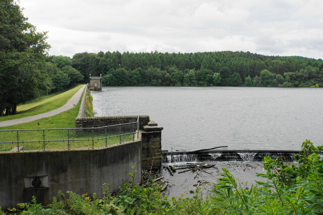
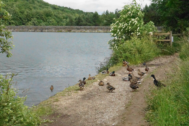
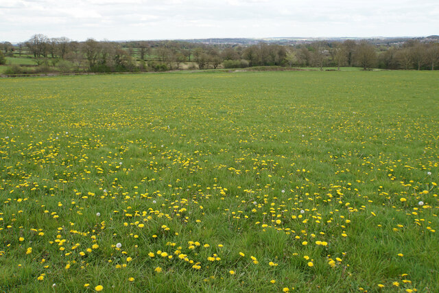
Bank Wood is not only a haven for nature lovers but also serves as a recreational space for locals and tourists alike. The wood is equipped with picnic areas and benches, providing an ideal spot for families and friends to relax and enjoy a meal amidst nature. Moreover, the forest is a popular destination for photography enthusiasts, who are drawn to its stunning landscapes and vibrant wildlife.
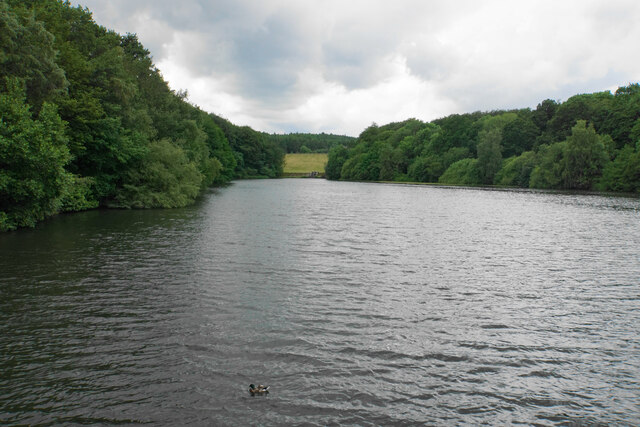
In conclusion, Bank Wood in Derbyshire is a captivating forest that offers a peaceful retreat for those seeking to escape the hustle and bustle of everyday life. With its diverse range of flora and fauna, well-maintained footpaths, and recreational amenities, it provides a delightful experience for visitors of all ages.
If you have any feedback on the listing, please let us know in the comments section below.
Bank Wood Images
Images are sourced within 2km of 53.245538/-1.5023635 or Grid Reference SK3372. Thanks to Geograph Open Source API. All images are credited.
Bank Wood is located at Grid Ref: SK3372 (Lat: 53.245538, Lng: -1.5023635)
Administrative County: Derbyshire
District: North East Derbyshire
Police Authority: Derbyshire
What 3 Words
///beaters.rail.overpower. Near Walton, Derbyshire
Nearby Locations
Related Wikis

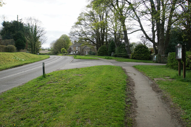
Old Brampton
Old Brampton is a village in the civil parish of Brampton, in the county of Derbyshire, England. It lies 3 miles to the west of Chesterfield, on a spur...
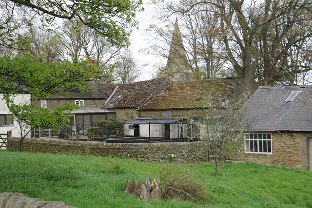
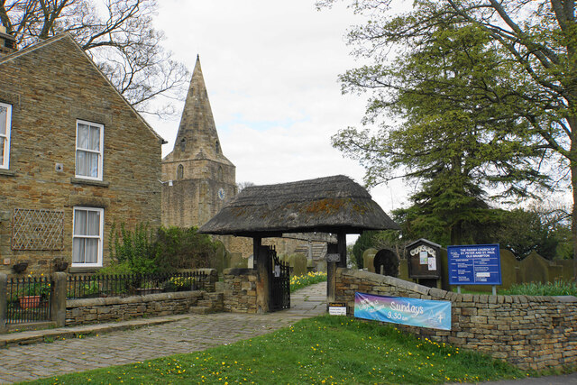
St Peter and St Paul's Church, Old Brampton
St Peter and St Paul's Church is a Grade I listed parish church in the Church of England in Old Brampton, Brampton, North East Derbyshire. == History... ==

Ingmanthorpe, Derbyshire
Ingmanthorpe is a hamlet in Brampton, Derbyshire, England. Ingmanthorpe is located on the B6050 road some 3 miles (4.8 km) west of the town of Chesterfield...

Brampton, North East Derbyshire
Brampton is a civil parish in North East Derbyshire, England, with a population of 1,201 in 2011. Lying 130 miles (210 km) north west of London, 20 miles...

Wadshelf
Wadshelf is a small village in Derbyshire, England. It is located between Chesterfield and Baslow, just inside the Peak District national park. It is near...

Brookfield Community School, Chesterfield
Brookfield Community School is an academy school located on Chatsworth Road (A619) in the west of Chesterfield, Derbyshire. The school's most recent Ofsted...

Barlow, Derbyshire
Barlow is a village and civil parish in the North East Derbyshire district of Derbyshire, England. According to the 2001 census the parish had a population...

Somersall Hall
Somersall Hall is a small country house near Brampton, Chesterfield, Derbyshire. It is a Grade II listed building.The Clarke family owned the estate in...
Nearby Amenities
Located within 500m of 53.245538,-1.5023635Have you been to Bank Wood?
Leave your review of Bank Wood below (or comments, questions and feedback).