Chestnut Plantation
Wood, Forest in Hampshire New Forest
England
Chestnut Plantation

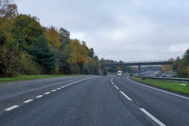
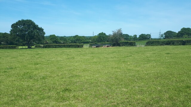
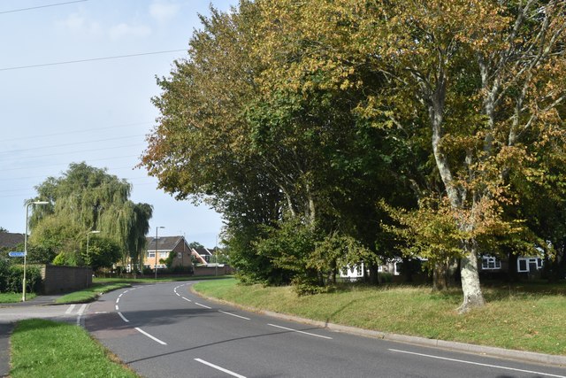
Chestnut Plantation is a sprawling woodland area located in Hampshire, England. It is renowned for its rich biodiversity and serene natural beauty, attracting nature enthusiasts and hikers alike. The plantation covers an extensive area, consisting primarily of dense chestnut trees, which lend the area its name and distinctive character.
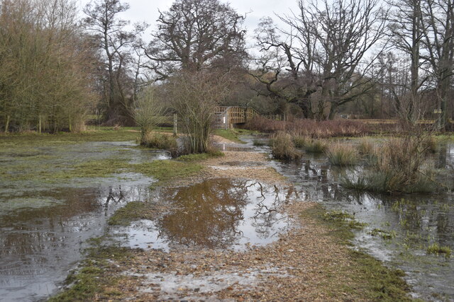
The woodland is home to a wide variety of flora and fauna, making it an important ecological site. Numerous species of birds, including woodpeckers, owls, and thrushes, can be spotted among the treetops, while the forest floor is teeming with small mammals such as squirrels, foxes, and badgers. The vibrant wildflower meadows that punctuate the landscape add a splash of color to the otherwise verdant surroundings.
Chestnut Plantation offers a range of recreational activities for visitors. There are several well-marked trails that crisscross the woodland, providing opportunities for leisurely strolls or more challenging hikes. The trails offer breathtaking views of the surrounding hills and valleys, and occasional glimpses of the nearby river that meanders through the Hampshire countryside.
Nature enthusiasts will also find plenty to explore within Chestnut Plantation. The woodland is home to several protected species of plants and trees, including rare orchids and ancient oaks. It is an ideal location for birdwatching, with dedicated observation points strategically placed throughout the area.
Chestnut Plantation is not only a haven for wildlife but also an important historical site. The woodland has been carefully managed for centuries, with evidence of human settlement dating back to ancient times. The plantation's rich history is reflected in the presence of several archaeological sites, including Iron Age hill forts and Roman ruins.
Overall, Chestnut Plantation in Hampshire is a captivating destination for nature lovers, offering a harmonious blend of natural beauty, ecological significance, and historical intrigue.
If you have any feedback on the listing, please let us know in the comments section below.
Chestnut Plantation Images
Images are sourced within 2km of 50.932846/-1.5276461 or Grid Reference SU3314. Thanks to Geograph Open Source API. All images are credited.


Chestnut Plantation is located at Grid Ref: SU3314 (Lat: 50.932846, Lng: -1.5276461)
Administrative County: Hampshire
District: New Forest
Police Authority: Hampshire
What 3 Words
///tugging.rezoning.migrate. Near Totton, Hampshire
Nearby Locations
Related Wikis

Tatchbury Mount Hospital
Tatchbury Mount Hospital is a health facility to the north of Totton, Hampshire, England. It is owned and managed by Southern Health NHS Foundation Trust...

A.F.C. Totton
Amalgamated Football Club Totton is a football club based in Totton, Hampshire, England. The club is affiliated to the Hampshire Football Association and...

Testwood Lakes
Testwood Lakes is a 55-hectare (140-acre) nature reserve on the northwest edge of Southampton in Hampshire, England. It is managed by the Hampshire and...
Netley Marsh
Netley Marsh is a village and civil parish in Hampshire, close to the town of Totton. It lies within the New Forest District, and the New Forest National...

Totton College
Totton College is a further education college located in Totton, Hampshire, providing courses for mainly 16- to 19-year-olds as well as adult education...

Winsor, Hampshire
Winsor is a village in the civil parish of Copythorne, in Hampshire, England. It is situated within the boundaries of the New Forest National Park. Surrounding...
Ower
Ower is a hamlet in the New Forest district of Hampshire, England. Its nearest towns are Totton – approximately 3 miles (4.8 km) to the southeast, and...

Storm Chaser (Paultons Park)
Storm Chaser is a steel spinning roller coaster located at Paultons Park in Hampshire, England. The coaster debuted alongside the new £12 million Tornado...
Nearby Amenities
Located within 500m of 50.932846,-1.5276461Have you been to Chestnut Plantation?
Leave your review of Chestnut Plantation below (or comments, questions and feedback).