Old Warren

Wood, Forest in Berkshire

England

Old Warren

Barn & barn conversion opposite Sheepdrove Farmhouse
Barn & barn conversion opposite Sheepdrove Farmhouse Credit: David Kemp

Old Warren, Berkshire, also known as Wood or Forest, is a historic and picturesque village located in the county of Berkshire, England. Nestled amidst the lush green landscapes of the Berkshire Downs, this charming village is renowned for its natural beauty and rich history.

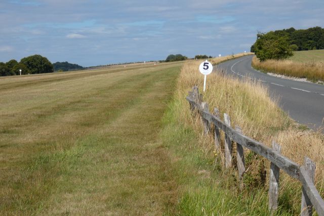
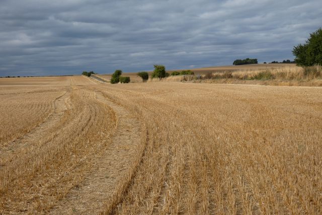
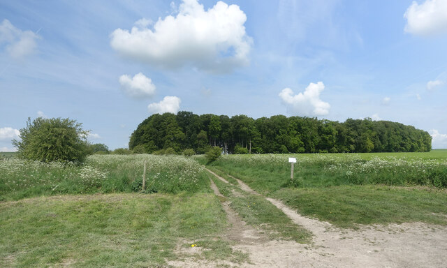
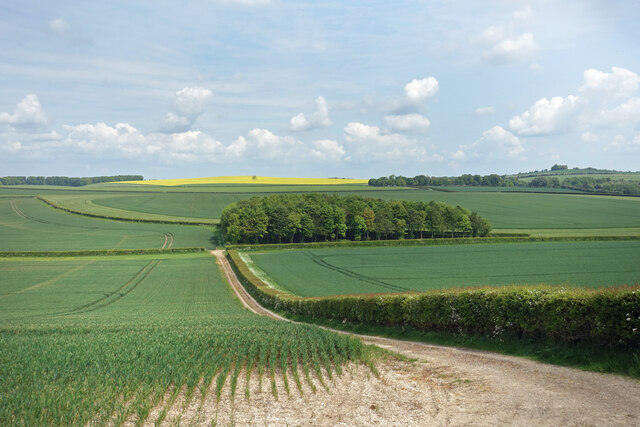
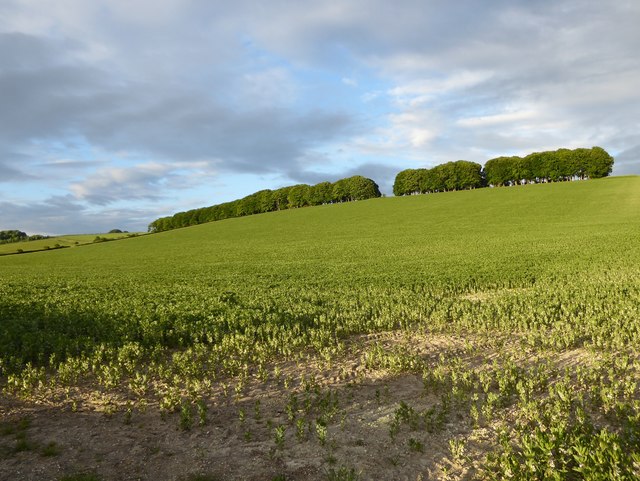
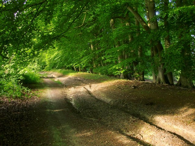
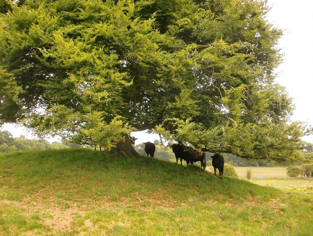
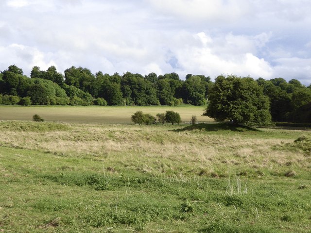
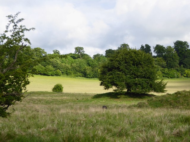
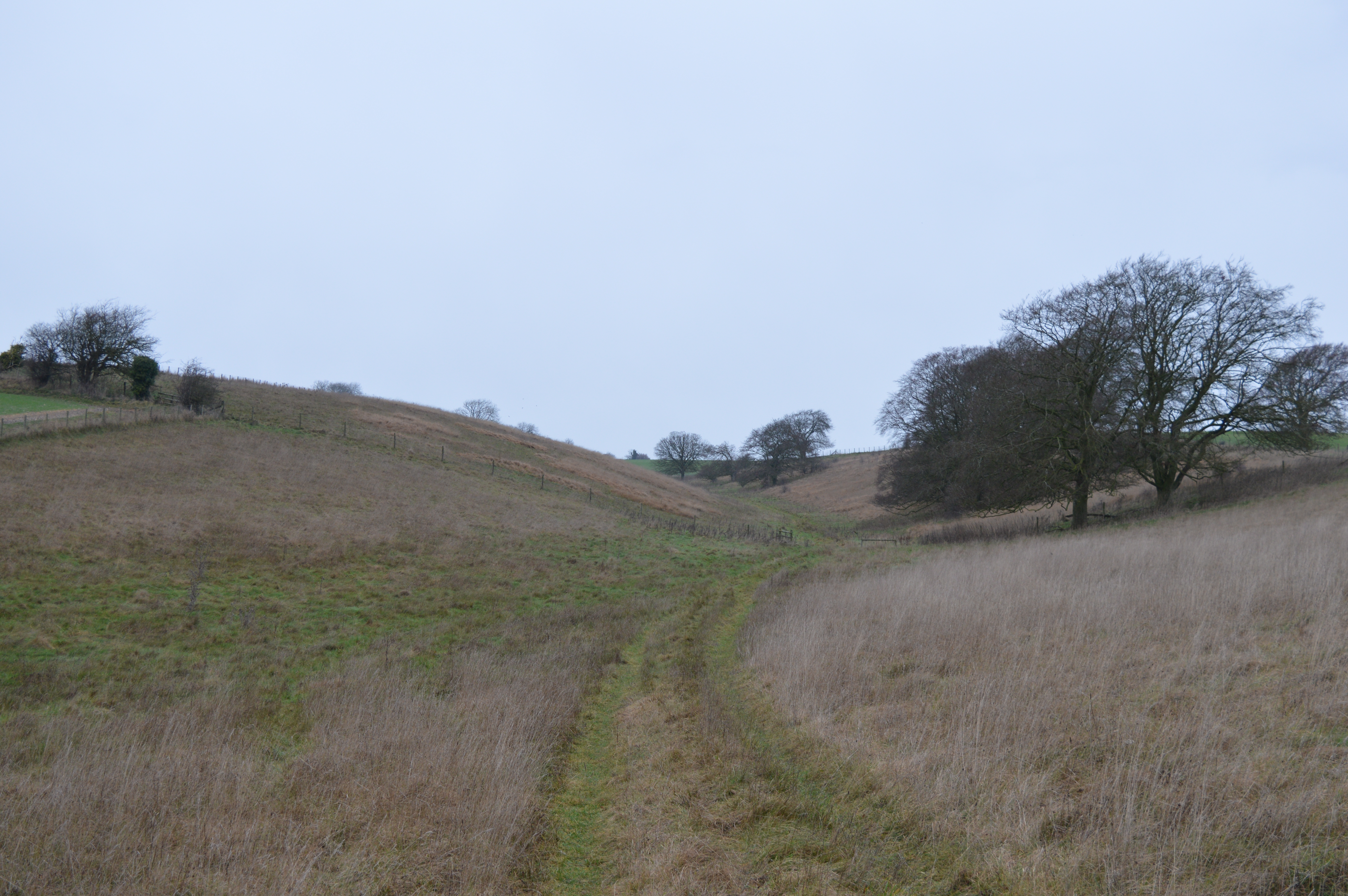
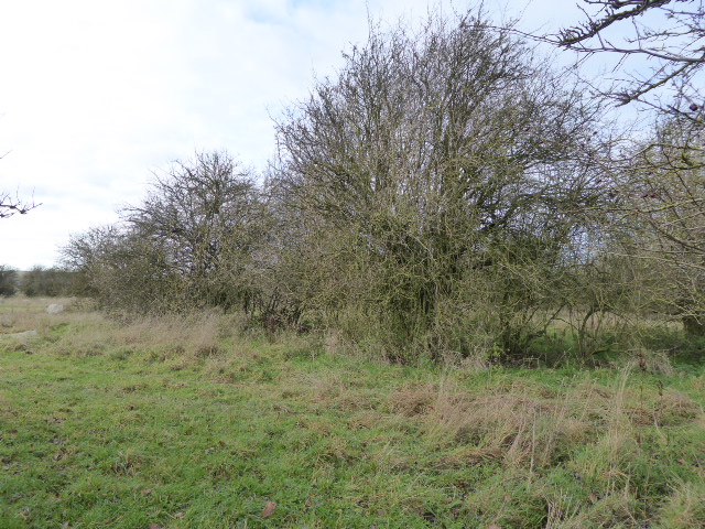
The village of Old Warren is situated in an idyllic setting, surrounded by dense woodlands and rolling hills, making it a popular destination for nature lovers and outdoor enthusiasts. The area is home to a variety of native flora and fauna, including ancient oak trees, wildflowers, and a diverse range of bird species.

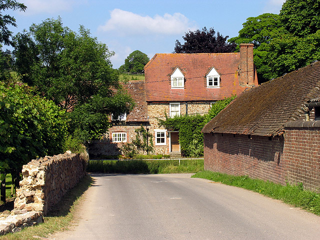
Steeped in history, the village is dotted with quaint cottages and buildings that date back centuries. These well-preserved historical structures give visitors a glimpse into the past and evoke a sense of nostalgia. The village also boasts a centuries-old church, which serves as a focal point for the community.

Old Warren offers a range of recreational activities for visitors to enjoy. The surrounding woodlands provide ample opportunities for hiking, cycling, and nature walks, allowing visitors to explore the area's natural beauty at their own pace. Additionally, there are several well-maintained trails that lead to stunning viewpoints, offering panoramic vistas of the Berkshire countryside.

The village is also known for its warm and welcoming community, with locals often organizing cultural events and festivals throughout the year. These events showcase the village's rich heritage and provide an opportunity for visitors to interact with the friendly residents.

In conclusion, Old Warren, Berkshire, is a charming village that offers a perfect blend of natural beauty and historical charm. With its picturesque landscapes, rich history, and warm community, it is a hidden gem for those seeking a peaceful retreat in the heart of the Berkshire countryside.

If you have any feedback on the listing, please let us know in the comments section below.
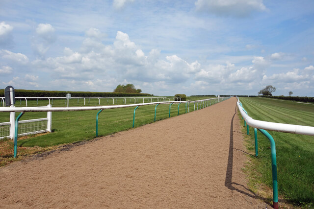
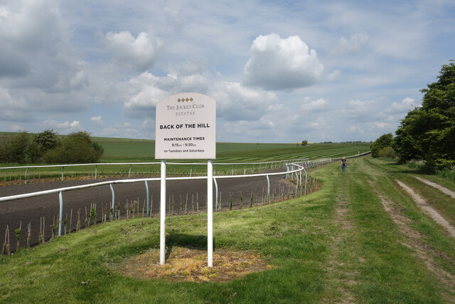
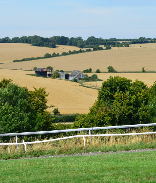
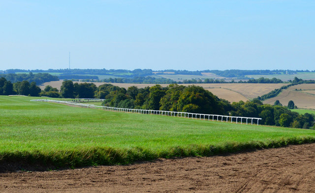
Old Warren Images

Images are sourced within 2km of 51.545578/-1.522068 or Grid Reference SU3383. Thanks to Geograph Open Source API. All images are credited.

Barn & barn conversion opposite Sheepdrove Farmhouse
Sheepdrove Farmhouse, Lambourn Although OS maps show it as 'Sheepdrove Farm', the house seen here is identified on signage as 'Sheepdrove Farmhouse'. The name 'Sheepdrove Farm' actually refers to the Sheepdrove Organic Farm & Eco Conference Centre the location of which is shown on OS maps as Warren Farm in nearby SU3581.
Sheepdrove Farmhouse, Lambourn
Although OS maps show it as 'Sheepdrove Farm', the house seen here is identified on signage as 'Sheepdrove Farmhouse'. The name 'Sheepdrove Farm' actually refers to the Sheepdrove Organic Farm & Eco Conference Centre the location of which is shown on OS maps as Warren Farm in nearby SU3581.
Gallops and road, Lambourn
Farmland, Sparsholt
Farmland, Sparsholt
Track and Small Wood, Westcot Down Larger trees round here tend to occur in clumps of woodland like this rather than be on their own or in hedges.
There is a patch of rough ground by the track here where you can leave the car and start off on a nice walk over the downs. 
Oxfordshire on the right, Berkshire on the left.
Track and Small Wood, Westcot Down
Larger trees round here tend to occur in clumps of woodland like this rather than be on their own or in hedges. There is a patch of rough ground by the track here where you can leave the car and start off on a nice walk over the downs. Oxfordshire on the right, Berkshire on the left.
Passing Number Four A distance marker along one of the specially surfaced tracks for horses which are a feature of the Lambourn Downs, the Valley of the Racehorse, as roadside signs proclaim. All this area is used for training. 
I think the black stuff is made from old chopped up car tyres. A bridleway for ordinary horses goes along beside the posh one.
Passing Number Four
A distance marker along one of the specially surfaced tracks for horses which are a feature of the Lambourn Downs, the Valley of the Racehorse, as roadside signs proclaim. All this area is used for training. I think the black stuff is made from old chopped up car tyres. A bridleway for ordinary horses goes along beside the posh one.
County Hedges Berkshire is this field down to the corner and then along the hedge to the left. Other side of the hedge and off to the horizon is Oxfordshire.
A view on Kingston Warren Down.
County Hedges
Berkshire is this field down to the corner and then along the hedge to the left. Other side of the hedge and off to the horizon is Oxfordshire. A view on Kingston Warren Down.
Soft Road for Racehorses Different from the track we were walking beside a short way back, which looked to be surfaced with shredded tyres, this one seems to be made of shredded carpet or something.
All very good recycling, it would appear.
More of the ultra neat landscape on the Jockey Club's estate near Lambourn.
Soft Road for Racehorses
Different from the track we were walking beside a short way back, which looked to be surfaced with shredded tyres, this one seems to be made of shredded carpet or something. All very good recycling, it would appear. More of the ultra neat landscape on the Jockey Club's estate near Lambourn.
Maintaining the Back Of The Hill Maintenance is done 9:15 to 9:30 on Tuesdays and Saturdays apparently. That must just be the track surface. Keeping this estate so neat is going to take more than half an hour a week.
Maintaining the Back Of The Hill
Maintenance is done 9:15 to 9:30 on Tuesdays and Saturdays apparently. That must just be the track surface. Keeping this estate so neat is going to take more than half an hour a week.
Gallop, Lambourn, Berkshire
Downland, near Lambourn, Berkshire
Downland arable north of Seven Barrows Taken on a showery evening, in rapidly changing light.

The line of trees on the left marks the route of the road to Kingston Lisle; higher, on the right, is Hill Barn Clump.  The stormy clouds hang over the crest of the downs and the Vale of the White Horse.
Downland arable north of Seven Barrows
Taken on a showery evening, in rapidly changing light. The line of trees on the left marks the route of the road to Kingston Lisle; higher, on the right, is Hill Barn Clump. The stormy clouds hang over the crest of the downs and the Vale of the White Horse.
A field of beans on the flank of Sparsholt Down The crop here - vast acres of it - is broad beans.  The narrow strip of woodland runs along the crest of Sparsholt Down.
A field of beans on the flank of Sparsholt Down
The crop here - vast acres of it - is broad beans. The narrow strip of woodland runs along the crest of Sparsholt Down.
Byway on Pit Down Here running north-east and uphill, shaded by a plantation of beeches.  Behind the camera the track leads downhill to Seven Barrows and the road to Lambourn.
Byway on Pit Down
Here running north-east and uphill, shaded by a plantation of beeches. Behind the camera the track leads downhill to Seven Barrows and the road to Lambourn.
Seven Barrows: cattle sheltering from rain One of the most prominent barrows has a beech tree growing on top of it, and these bullocks were huddling beneath it during a drizzly spell.  They soon emerged when the sun came out.

Walking round the enclosed area of Seven Barrows nature reserve, I soon realised that there were more than seven mounds. I've seen estimates of two dozen and more - though they may refer to an area larger than the enclosed reserve.
Seven Barrows: cattle sheltering from rain
One of the most prominent barrows has a beech tree growing on top of it, and these bullocks were huddling beneath it during a drizzly spell. They soon emerged when the sun came out. Walking round the enclosed area of Seven Barrows nature reserve, I soon realised that there were more than seven mounds. I've seen estimates of two dozen and more - though they may refer to an area larger than the enclosed reserve.
The Seven Barrows nature reserve This is the site of a Bronze Age barrow cemetery, lying in a hollow on the Lambourn Downs.  Walking round the site you soon realise that there are more barrows than the name suggests.  My guess would be that the name dates from the centuries when mystical significance was assigned to the number seven (hence Seven Stars, Seven Seas, Seven Deadly Sins, Seven Ages of Man).

The enclosed nature reserve is managed by the Berks., Bucks. & Oxon. Wildlife Trust, chiefly to conserve a small population of the Marsh Fritillary butterfly - a scarce species whose distribution has retreated westwards in the last half-century.
The Seven Barrows nature reserve
This is the site of a Bronze Age barrow cemetery, lying in a hollow on the Lambourn Downs. Walking round the site you soon realise that there are more barrows than the name suggests. My guess would be that the name dates from the centuries when mystical significance was assigned to the number seven (hence Seven Stars, Seven Seas, Seven Deadly Sins, Seven Ages of Man). The enclosed nature reserve is managed by the Berks., Bucks. & Oxon. Wildlife Trust, chiefly to conserve a small population of the Marsh Fritillary butterfly - a scarce species whose distribution has retreated westwards in the last half-century.
Seven Barrows This hollow in the Lambourn Downs is the site of a Bronze Age round-barrow cemetery.  There are a good many mounds (certainly more than seven) but they are crowded together, and many sit in shallow depressions.  An individual barrow may appear out of the long grass only as you approach it.  The mound with the beech tree is perhaps the most isolated, and certainly the easiest to pick out at a distance.

The picture was taken in rapidly changing light (after rain), and the light and shade helps emphasise the uneven relief.
Seven Barrows
This hollow in the Lambourn Downs is the site of a Bronze Age round-barrow cemetery. There are a good many mounds (certainly more than seven) but they are crowded together, and many sit in shallow depressions. An individual barrow may appear out of the long grass only as you approach it. The mound with the beech tree is perhaps the most isolated, and certainly the easiest to pick out at a distance. The picture was taken in rapidly changing light (after rain), and the light and shade helps emphasise the uneven relief.
Show me another place!

Old Warren is located at Grid Ref: SU3383 (Lat: 51.545578, Lng: -1.522068)

Unitary Authority: West Berkshire

Police Authority: Thames Valley

What 3 Words

///outlines.instance.grudging. Near Lambourn, Berkshire

Related Wikis

Seven Barrows

Seven Barrows is a Bronze Age bowl barrow cemetery, 4-hectare (9.9-acre) of which are designated a biological Site of Special Scientific Interest, at Upper...

Croker's Hole

Croker's Hole is a 4.4-hectare (11-acre) biological Site of Special Scientific Interest north of Upper Lambourn in Berkshire.The site is a narrow grassland...

Hackpen, Warren & Gramp's Hill Downs

Hackpen, Warren & Gramp's Hill Downs is a 71.4-hectare (176-acre) biological Site of Special Scientific Interest in Letcombe Bassett in Oxfordshire.The...

Highlands Farm Pit

Highlands Farm Pit is a 0.6-hectare (1.5-acre) geological Site of Special Scientific Interest in Henley-on-Thames in Oxfordshire. It is a Geological Conservation...

Sheepdrove Organic Farm

Sheepdrove Organic Farm is a farm near Lambourn, West Berkshire, England. The farm gained a public profile when Juliet and Peter Kindersley took the UK...

Upper Lambourn

Upper Lambourn is a small village in the county of Berkshire, England. The village is situated in the civil parish of Lambourn , and is 1.2 miles (2 km...

Park Farm Down

Park Farm Down or Parkfarm Down is a 3.3-hectare (8.2-acre) biological Site of Special Scientific Interest north-west of Lambourn in Berkshire. It is in...
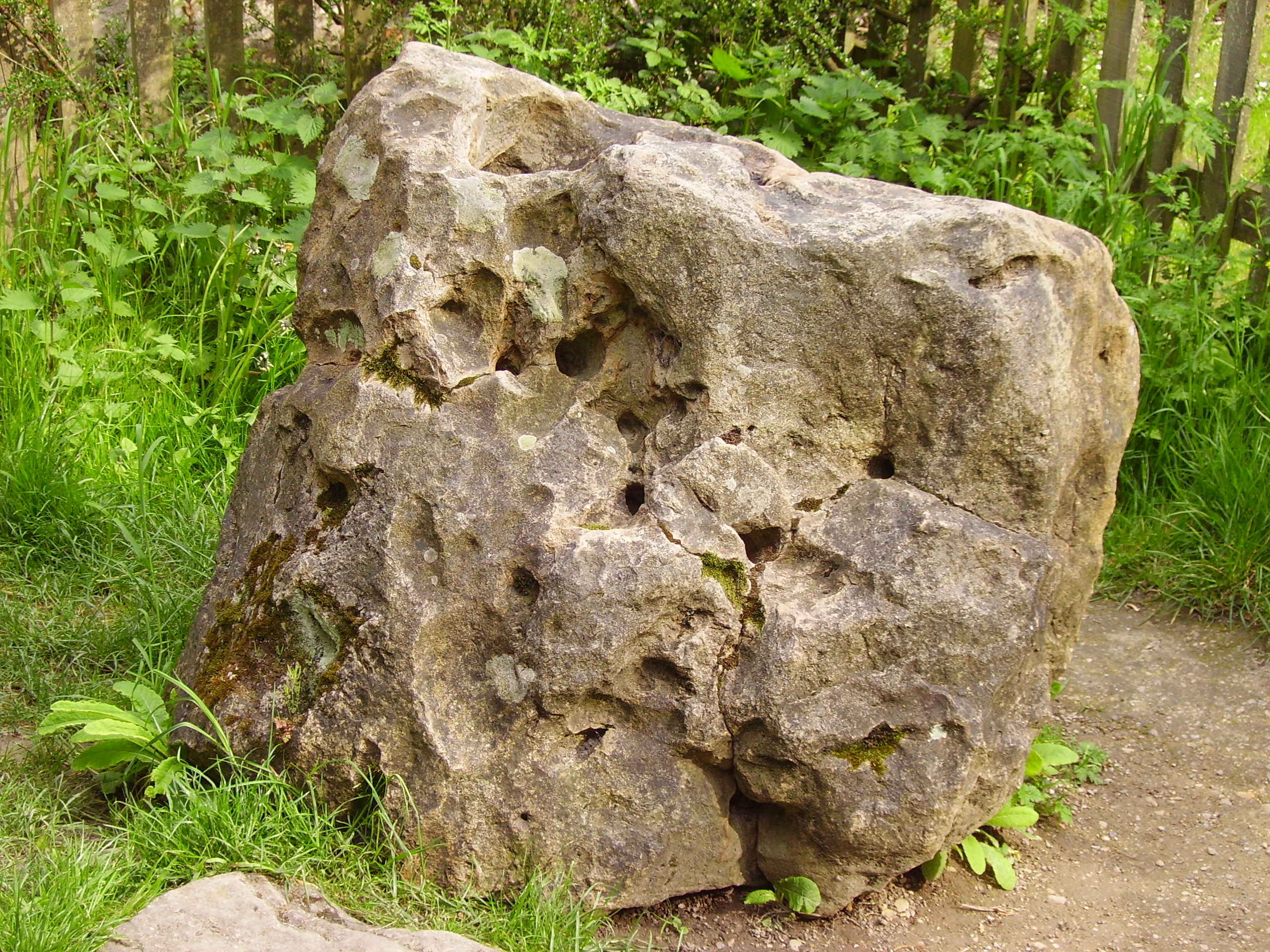
Blowing Stone

The Blowing Stone is a perforated sarsen at grid reference SU32412 87083 in Kingston Lisle, which is in the traditional county of Berkshire, but is currently...

Nearby Amenities

Located within 500m of 51.545578,-1.522068
Archaeological Site: tumulus
Historic: archaeological_site
Source: GPS
Lat/Long: 51.5437008/-1.5269469
Pit Down
Place: locality
Source Name: OS_OpenData_StreetView
Lat/Long: 51.5455066/-1.5254509
Archaeological Site: tumulus
Historic: archaeological_site
Source: Bing
Lat/Long: 51.5440819/-1.5284684
Archaeological Site: tumulus
Historic: archaeological_site
Source: Bing
Lat/Long: 51.5439419/-1.5263279
Archaeological Site: tumulus
Historic: archaeological_site
Source: Bing
Lat/Long: 51.5445822/-1.5278944
Archaeological Site: tumulus
Historic: archaeological_site
Source: Bing
Lat/Long: 51.543982/-1.5279051
Archaeological Site: tumulus
Historic: archaeological_site
Source: Bing
Lat/Long: 51.544362/-1.5274545
Archaeological Site: tumulus
Historic: archaeological_site
Source: Bing
Lat/Long: 51.544242/-1.526918
The data included in this document is from www.openstreetmap.org. The data is made available under ODbL.

Have you been to Old Warren?

Leave your review of Old Warren below (or comments, questions and feedback).