Bats Copse
Wood, Forest in Hampshire Test Valley
England
Bats Copse
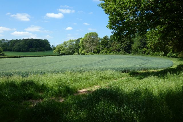
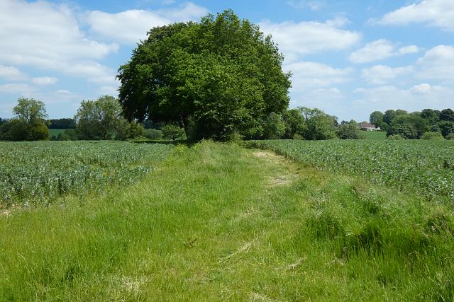
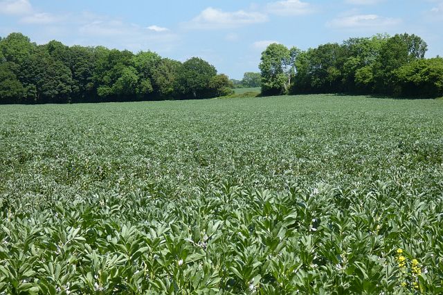
Bats Copse, located in Hampshire, England, is a picturesque woodland area that covers approximately 10 hectares. Nestled within the South Downs National Park, it is known for its diverse range of flora and fauna, making it an appealing destination for nature enthusiasts.
The woodland is primarily composed of native tree species, including oak, beech, and hazel, which create a dense canopy that provides shade and shelter for various wildlife. The forest floor is covered in a thick carpet of bluebells during spring, creating a stunning scene.
Bats Copse is home to a variety of bird species, including woodpeckers, nightingales, and tawny owls, making it a popular spot for birdwatching. It also serves as a habitat for several bat species, such as the common pipistrelle and the brown long-eared bat, which are often spotted darting through the trees at dusk.
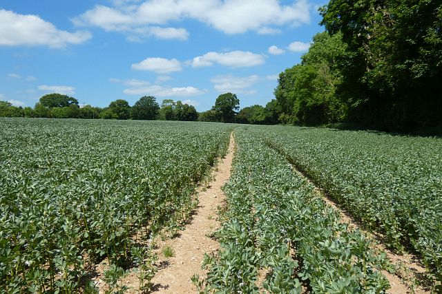
Several walking trails wind through the woodland, offering visitors the opportunity to explore its natural beauty. These paths meander through the different sections of the forest, allowing visitors to discover hidden clearings, bubbling streams, and ancient trees.
The management of Bats Copse focuses on preserving the natural ecosystem and promoting biodiversity. Conservation efforts include selective tree thinning, maintaining open spaces to encourage wildflower growth, and the installation of bat boxes to provide additional roosting sites.
Overall, Bats Copse in Hampshire is a captivating woodland that offers a tranquil escape into nature. Its diverse wildlife, vibrant flora, and well-maintained trails make it a popular destination for outdoor enthusiasts and those seeking a peaceful retreat.
If you have any feedback on the listing, please let us know in the comments section below.
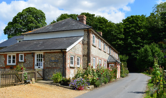
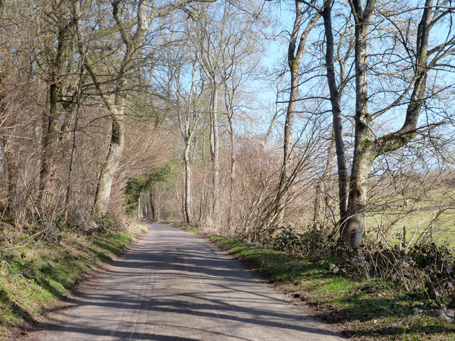
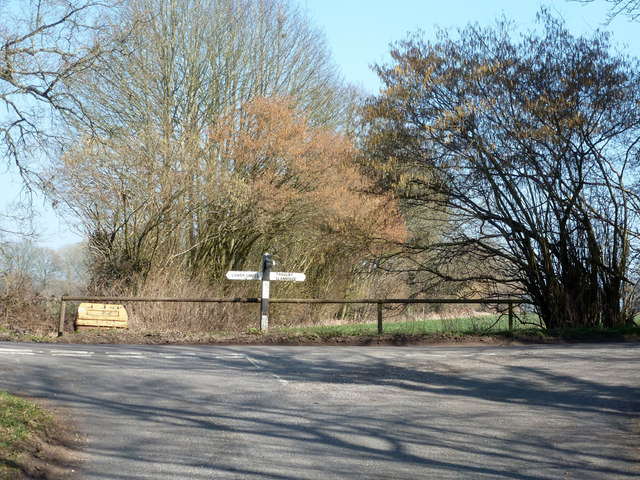
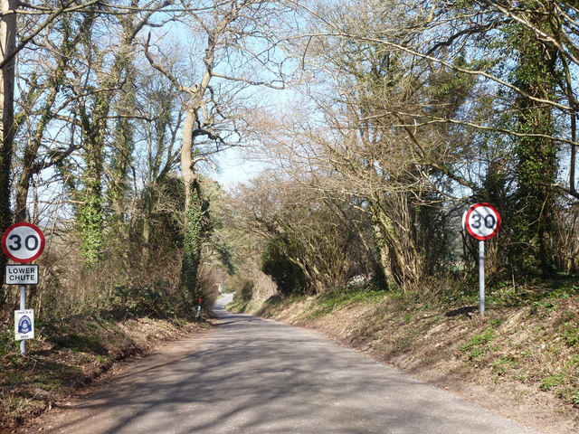
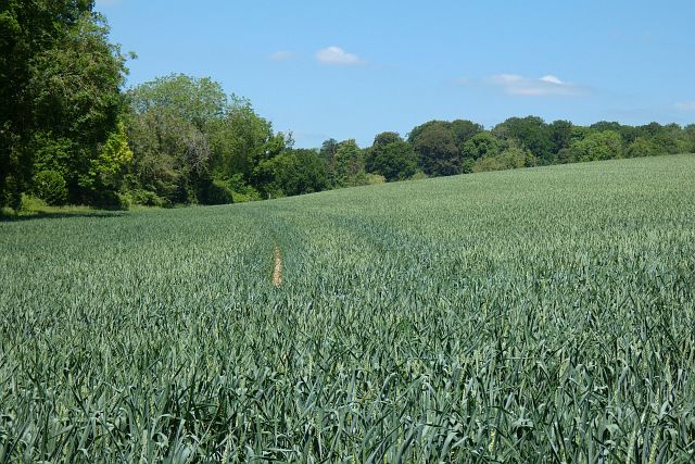
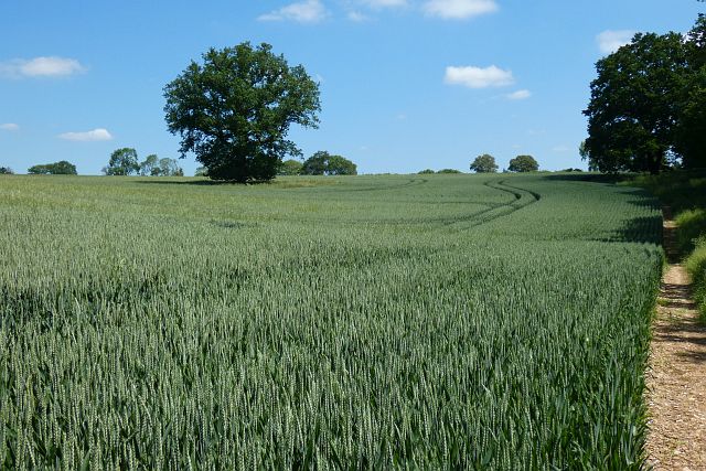
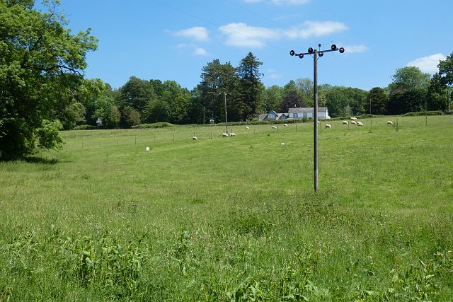
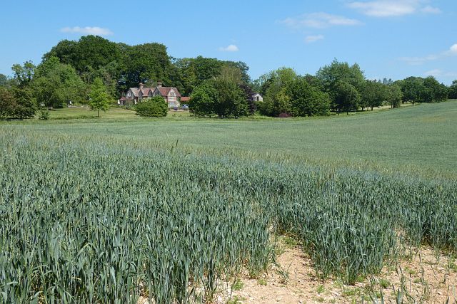
Bats Copse Images
Images are sourced within 2km of 51.274431/-1.5255588 or Grid Reference SU3352. Thanks to Geograph Open Source API. All images are credited.


Bats Copse is located at Grid Ref: SU3352 (Lat: 51.274431, Lng: -1.5255588)
Administrative County: Hampshire
District: Test Valley
Police Authority: Hampshire
What 3 Words
///deriving.sues.slogans. Near Ludgershall, Wiltshire
Nearby Locations
Related Wikis

Tangley
Tangley is a village in the English county of Hampshire. Tangley is situated north of the old market town of Andover and the village of Charlton, Hampshire...

Bevisbury
Bevisbury is the site of a former Iron Age plateau fort in Hampshire, England. The fort lies on a chalk ridge and is of a single bank and ditch construction...

Rushmore and Conholt Downs
Rushmore and Conholt Downs is a 111.5-hectare (276-acre) biological Site of Special Scientific Interest north of Andover in Hampshire. It is a Nature Conservation...

Conholt
Conholt was a small village in east Wiltshire, England, close to the Hampshire border and about 6 miles (10 km) northeast of Andover. It is now the site...
Pill Heath
Pill Heath is a hamlet in the civil parish of Tangley situated in the North Wessex Downs Area of Outstanding Natural Beauty in the Test Valley district...

St Mary's Church, Chute Forest
St Mary's Church in Chute Forest, Wiltshire, England, was built between 1870 and 1871 and consecrated in 1875. It is recorded in the National Heritage...

Chute Forest
Chute Forest is a village and civil parish in east Wiltshire, England. The parish is bordered to the east and south by the county of Hampshire. The village...
Wildhern
Wildhern is a small village and civil parish in the Test Valley district of Hampshire, England. It is in the civil parish of Tangley. Its nearest town...
Nearby Amenities
Located within 500m of 51.274431,-1.5255588Have you been to Bats Copse?
Leave your review of Bats Copse below (or comments, questions and feedback).