Decoy Spinney
Wood, Forest in Warwickshire Warwick
England
Decoy Spinney
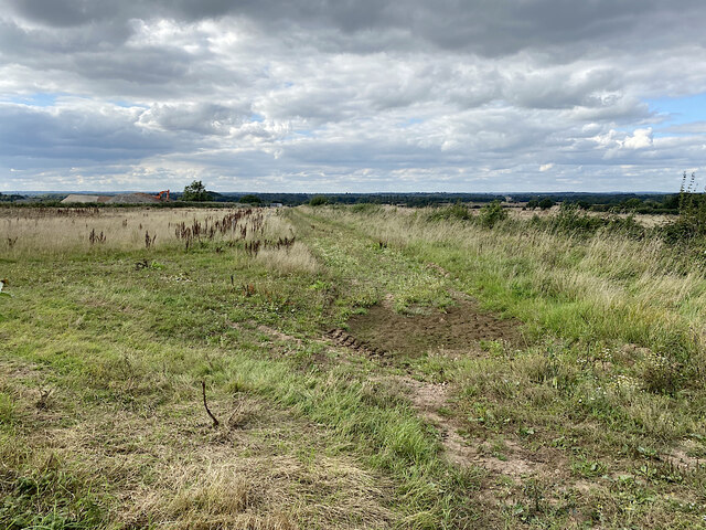
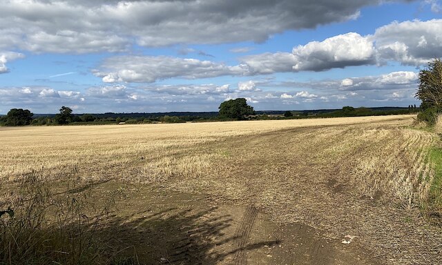
Decoy Spinney is a picturesque woodland located in Warwickshire, England. Situated near the village of Wood, this forested area covers approximately 100 acres of land. The spinney is known for its diverse flora and fauna, offering a tranquil escape for nature enthusiasts and visitors alike.
The woodland is characterized by a mix of deciduous and coniferous trees, including oak, beech, birch, and pine. The densely packed trees create a dense canopy, providing shade and shelter for a wide variety of wildlife. Visitors can expect to encounter a multitude of bird species, including woodpeckers, owls, and various songbirds. Additionally, the spinney is home to small mammals such as rabbits, squirrels, and foxes.
The forest boasts a network of well-maintained footpaths, allowing visitors to explore its beauty at their own pace. The paths meander through the woods, leading to open clearings and tranquil ponds, adding to the charm of the surroundings. Nature enthusiasts can observe the changing seasons as the woodland bursts into life with vibrant wildflowers in spring and transforms into a golden-hued wonderland in autumn.
Decoy Spinney is also of historical significance, with remnants of an old decoy pond still visible. Decoy ponds were once used for waterfowl hunting, attracting birds into nets for capture. This historical feature adds an element of intrigue and serves as a reminder of the area's past.
Overall, Decoy Spinney in Warwickshire offers a serene and enchanting natural environment, providing a perfect escape from the hustle and bustle of everyday life. Whether visitors are seeking a peaceful walk, birdwatching opportunities, or a glimpse into history, this woodland has something to offer for everyone.
If you have any feedback on the listing, please let us know in the comments section below.
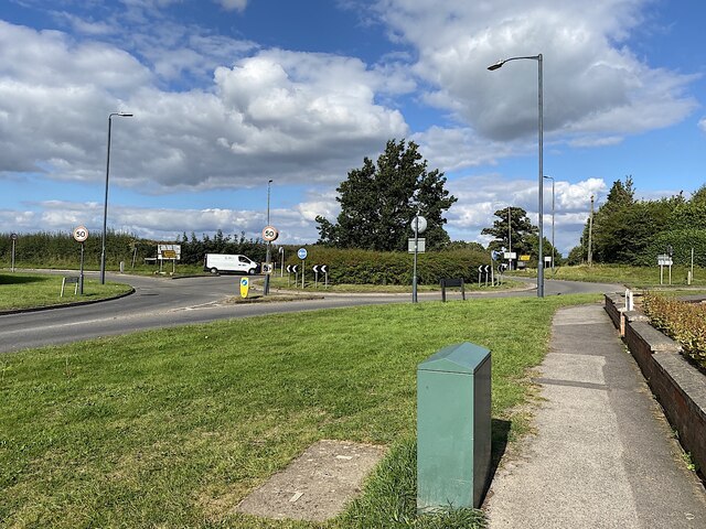
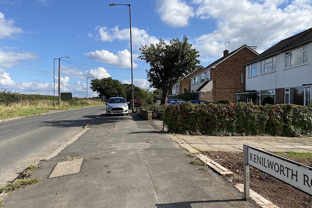
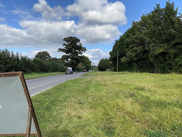
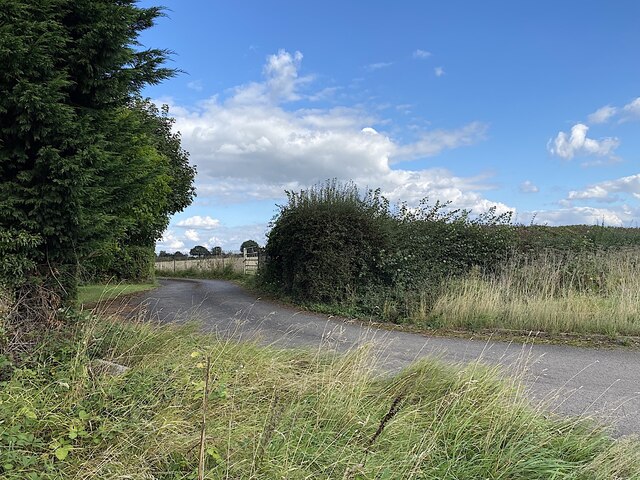
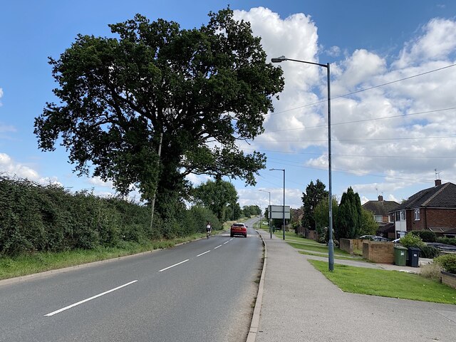
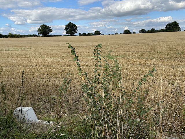
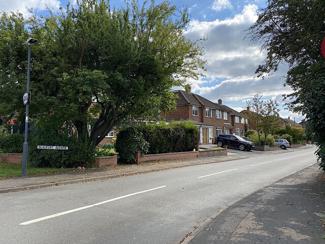
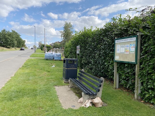
Decoy Spinney Images
Images are sourced within 2km of 52.33105/-1.5161914 or Grid Reference SP3370. Thanks to Geograph Open Source API. All images are credited.


Decoy Spinney is located at Grid Ref: SP3370 (Lat: 52.33105, Lng: -1.5161914)
Administrative County: Warwickshire
District: Warwick
Police Authority: Warwickshire
What 3 Words
///soon.piano.swear. Near Leek Wootton, Warwickshire
Nearby Locations
Related Wikis
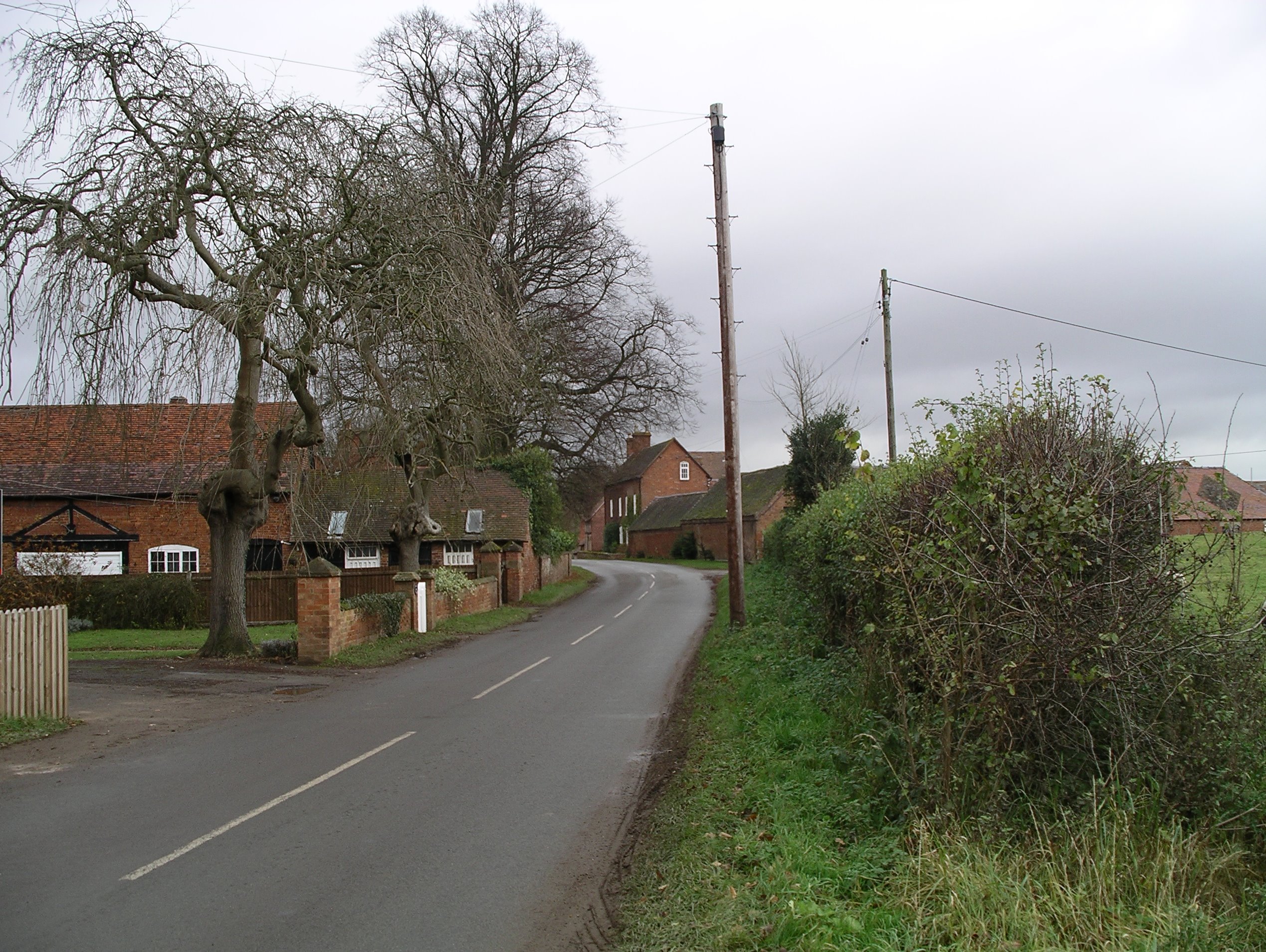
Stareton
Stareton is a small hamlet in Warwickshire, England. The population is included within Stoneleigh parish. It is situated about half a mile from Stoneleigh...

A445 road
The A445 road is a road in Warwickshire, England. It runs between the town of Warwick and the A45, also passing through the north of Leamington Spa. The...

Rare Breeds Survival Trust
The Rare Breeds Survival Trust is a conservation charity whose purpose is to secure the continued existence and viability of the native farm animal genetic...

Stoneleigh Abbey
Stoneleigh Abbey is an English country house and estate situated south of Coventry. Nearby is the village of Stoneleigh, Warwickshire. The Abbey itself...
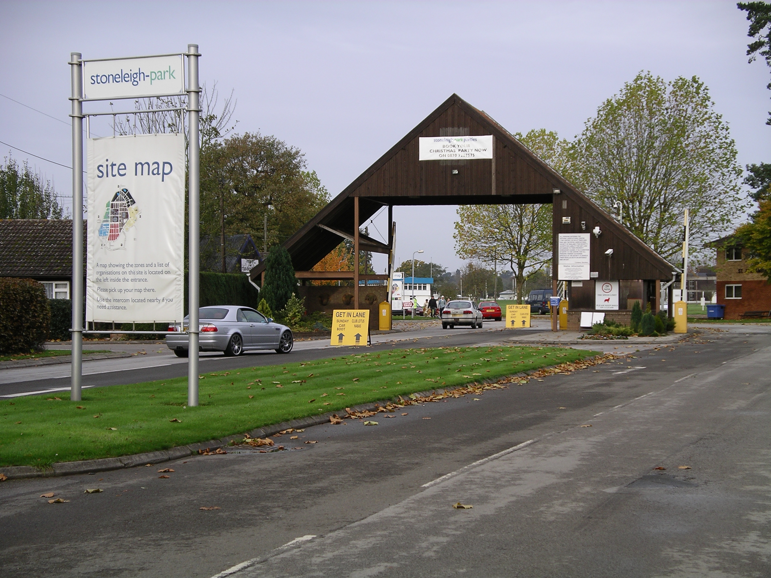
Stoneleigh Park
Stoneleigh Park, known between 1963 and 2013 as the National Agricultural Centre, is a business park located south-west of the village of Stoneleigh, Warwickshire...

Stoneleigh Abbey Gatehouse
Stoneleigh Abbey Gatehouse is the 14th century gatehouse to the medieval Stoneleigh Abbey which was established near Stoneleigh, Warwickshire in the 12th...
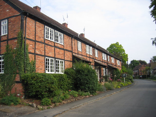
Ashow
Ashow is a small village and civil parish in the Warwick district of Warwickshire, England, about 2.5 miles (4 km) south-east of central Kenilworth. According...

River Sowe
The River Sowe is a river in Warwickshire and West Midlands, England. It is a tributary of the River Avon, and flows into it just south of Stoneleigh...
Have you been to Decoy Spinney?
Leave your review of Decoy Spinney below (or comments, questions and feedback).