Hoe Acre Covert
Wood, Forest in Berkshire
England
Hoe Acre Covert
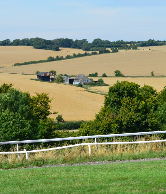
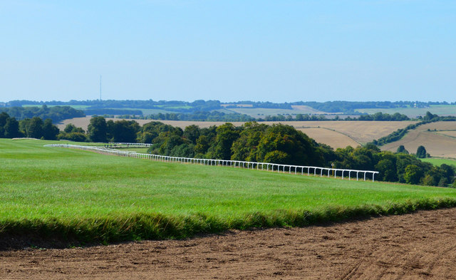
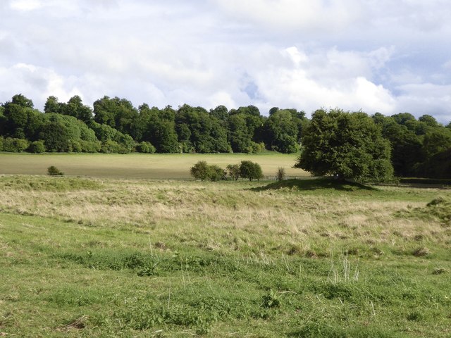
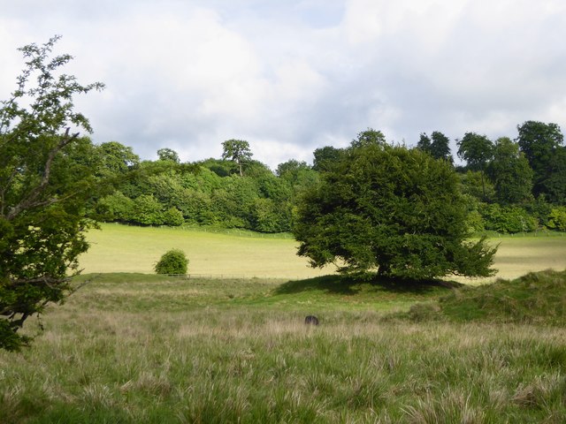
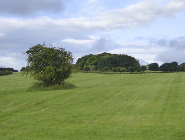
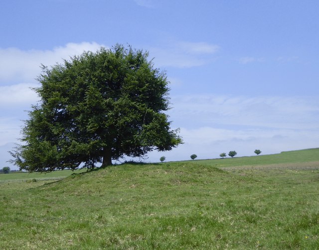
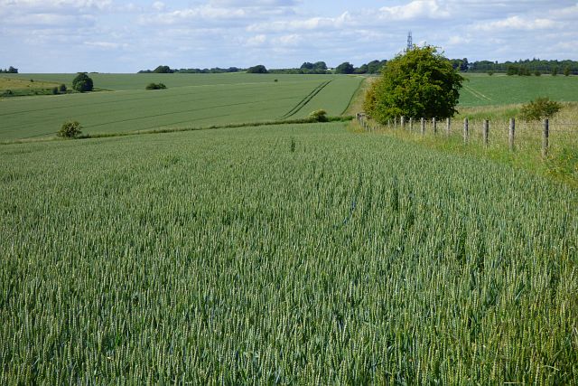
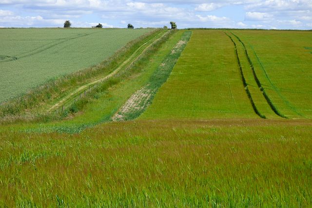
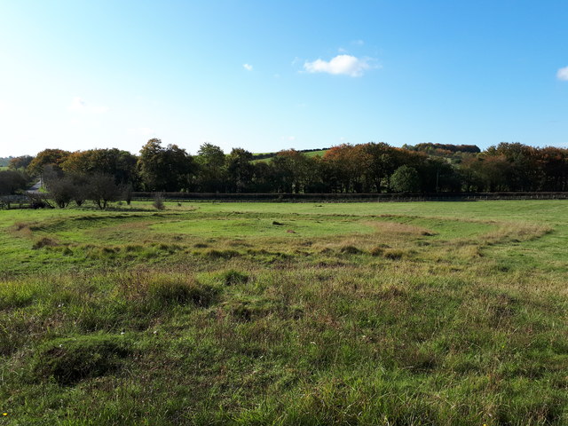
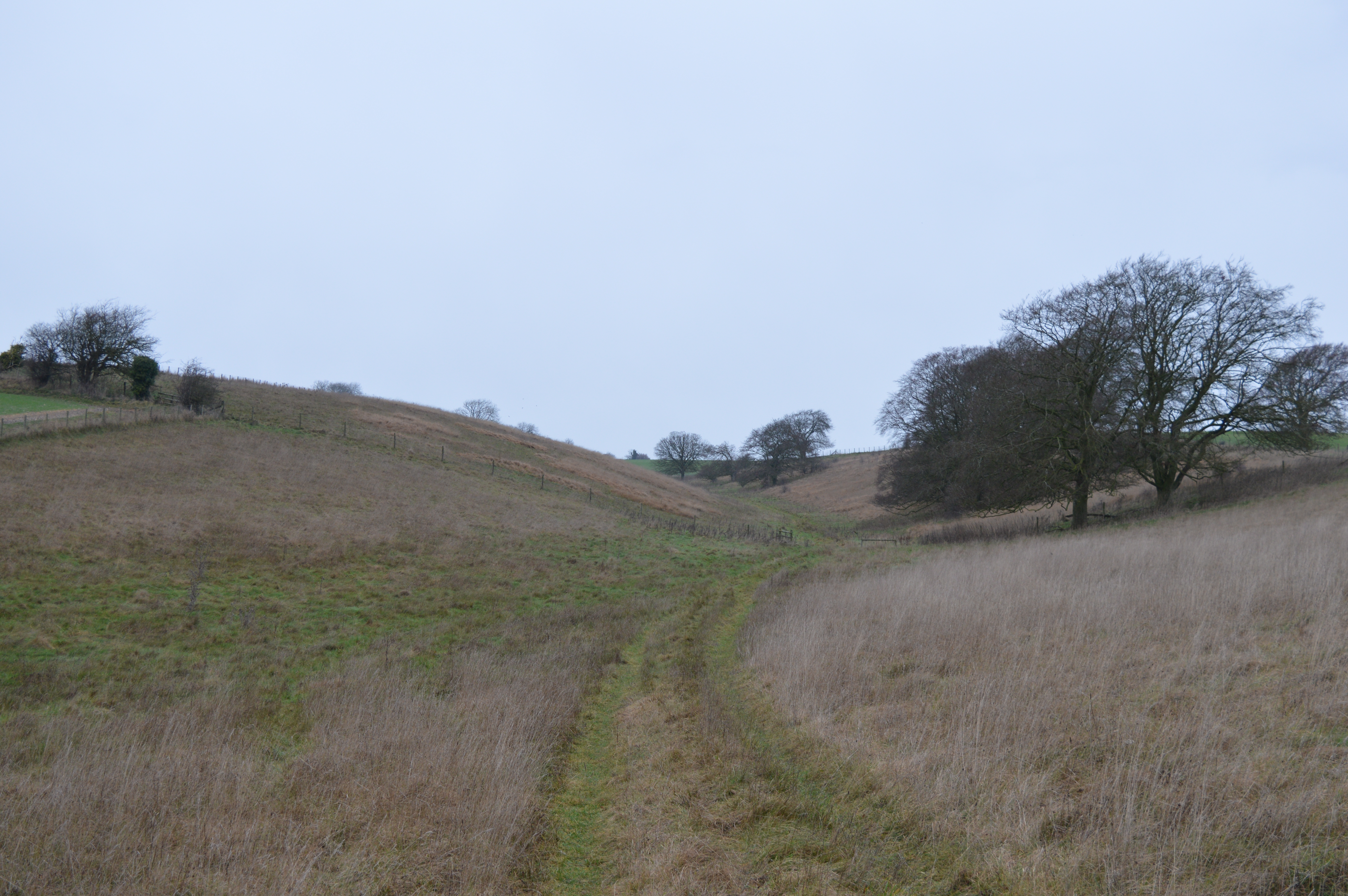
Hoe Acre Covert is a wood located in the county of Berkshire, England. It is part of the larger forested expanse known as Hoe Acre Forest. The covert covers an area of approximately 200 acres, making it a significant woodland in the region.
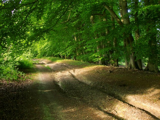
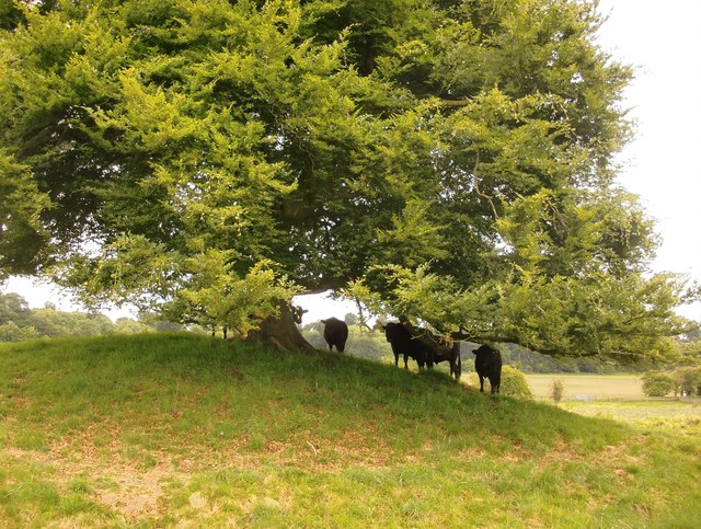
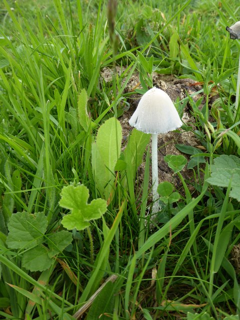
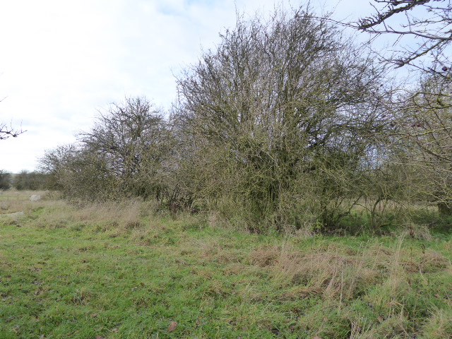
The wood is characterized by a diverse range of tree species, including oak, beech, and birch. These trees create a dense canopy, providing a habitat for a variety of wildlife. The woodland floor is covered with a rich carpet of woodland plants, such as bluebells and wild garlic, adding to its natural beauty.
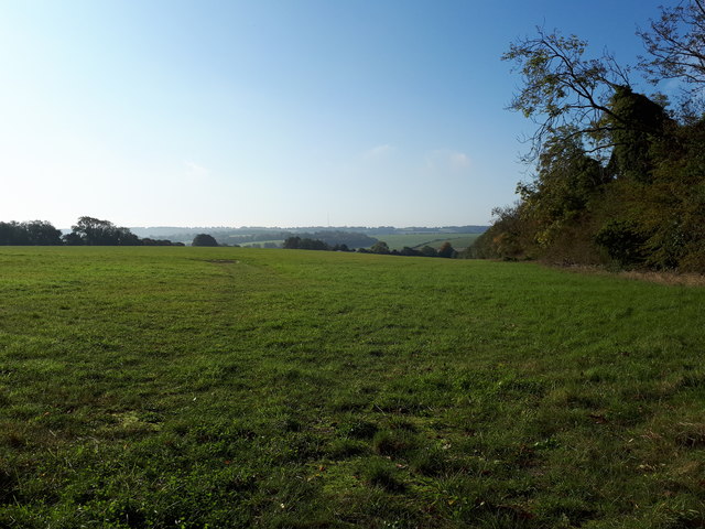
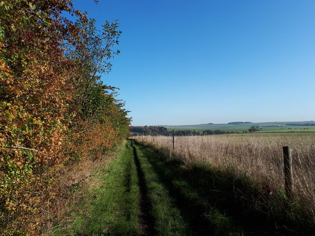
Hoe Acre Covert is a popular destination for nature lovers and outdoor enthusiasts. The wood offers a network of well-maintained footpaths, allowing visitors to explore its tranquil surroundings. It is also a great spot for birdwatching, with numerous species of birds, including woodpeckers and song thrushes, calling the covert their home.
Additionally, the wood has a fascinating history, with traces of ancient human activity found within its boundaries. Archaeological evidence suggests that the area has been inhabited since prehistoric times, and there are remnants of Iron Age settlements in the vicinity.
Hoe Acre Covert is managed by the local forestry commission, ensuring its preservation and maintenance for future generations. It serves as an important green space, providing a haven for wildlife and a place for people to connect with nature.
If you have any feedback on the listing, please let us know in the comments section below.
Hoe Acre Covert Images
Images are sourced within 2km of 51.535765/-1.5256742 or Grid Reference SU3281. Thanks to Geograph Open Source API. All images are credited.

Hoe Acre Covert is located at Grid Ref: SU3281 (Lat: 51.535765, Lng: -1.5256742)
Unitary Authority: West Berkshire
Police Authority: Thames Valley
What 3 Words
///harsh.pocketed.riddle. Near Lambourn, Berkshire
Nearby Locations
Related Wikis
Croker's Hole
Croker's Hole is a 4.4-hectare (11-acre) biological Site of Special Scientific Interest north of Upper Lambourn in Berkshire.The site is a narrow grassland...

Seven Barrows
Seven Barrows is a Bronze Age bowl barrow cemetery, 4-hectare (9.9-acre) of which are designated a biological Site of Special Scientific Interest, at Upper...
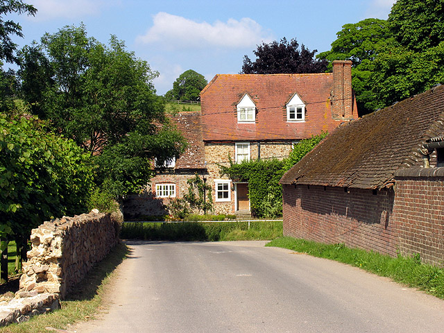
Upper Lambourn
Upper Lambourn is a small village in the county of Berkshire, England. The village is situated in the civil parish of Lambourn , and is 1.2 miles (2 km...

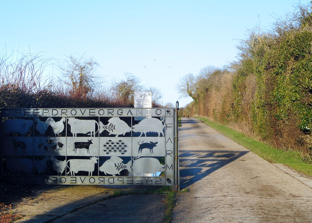
Sheepdrove Organic Farm
Sheepdrove Organic Farm is a farm near Lambourn, West Berkshire, England. The farm gained a public profile when Juliet and Peter Kindersley took the UK...

Lambourn
Lambourn is a village and civil parish in Berkshire, England. It lies just north of the M4 Motorway between Swindon and Newbury, and borders Wiltshire...
Park Farm Down
Park Farm Down or Parkfarm Down is a 3.3-hectare (8.2-acre) biological Site of Special Scientific Interest north-west of Lambourn in Berkshire. It is in...
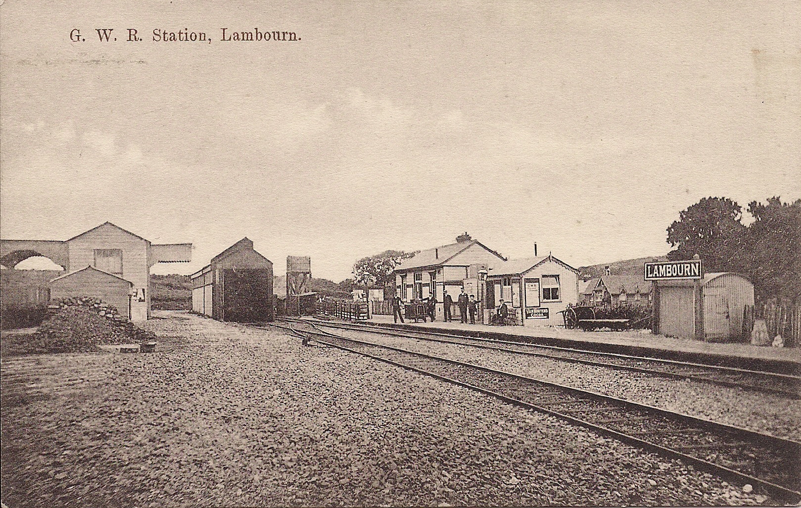
Lambourn railway station
Lambourn railway station was a railway station in Lambourn, Berkshire, UK, on the Lambourn Valley Railway. == History == The station opened on 4 April...

Hackpen, Warren & Gramp's Hill Downs
Hackpen, Warren & Gramp's Hill Downs is a 71.4-hectare (176-acre) biological Site of Special Scientific Interest in Letcombe Bassett in Oxfordshire.The...
Nearby Amenities
Located within 500m of 51.535765,-1.5256742Have you been to Hoe Acre Covert?
Leave your review of Hoe Acre Covert below (or comments, questions and feedback).