Bath Plantation

Wood, Forest in Derbyshire Amber Valley

England

Bath Plantation

Kedleston Hall Built in 1765 for the Curzon family Kedleston Hall sits to the west of Derby within an expanse of attractive parkland. It is looked after by the National Trust.
Kedleston Hall Credit: Sam Styles

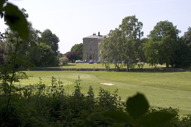
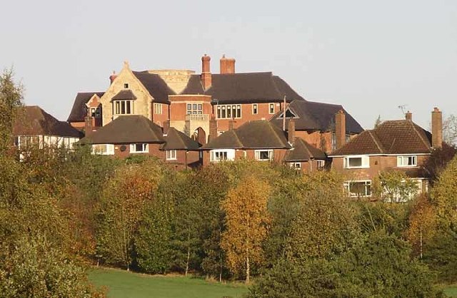
Bath Plantation is a notable wood and forest located in Derbyshire, England. Covering an extensive area of land, this plantation is a popular destination for nature enthusiasts and outdoor enthusiasts alike. The plantation is nestled within the picturesque countryside of Derbyshire, offering visitors breathtaking views and a serene environment.

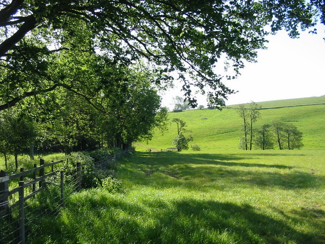
The main feature of Bath Plantation is its diverse collection of trees. The woodland is home to a variety of tree species, including oak, birch, pine, and beech trees. These trees not only provide a stunning backdrop but also create a rich ecosystem that supports a wide range of wildlife.

Walking paths and trails crisscross the plantation, allowing visitors to explore the area on foot. These paths lead visitors through dense woodland, open meadows, and peaceful streams, providing a tranquil experience for those seeking solitude in nature. The plantation is also a popular spot for birdwatching, with various species of birds making their homes in the trees and shrubs.

Bath Plantation is managed and maintained by local authorities who take care to preserve its natural beauty and protect its wildlife. It is important for visitors to respect the environment and follow any rules or guidelines put in place to ensure the longevity of this cherished woodland.

Overall, Bath Plantation offers a serene and peaceful escape from the hustle and bustle of everyday life. Whether you are an avid nature lover or simply seeking a tranquil walk in the woods, this plantation is a must-visit destination in Derbyshire.

If you have any feedback on the listing, please let us know in the comments section below.

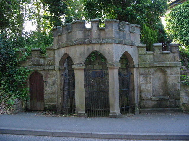
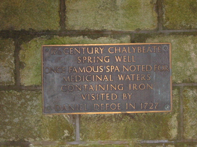
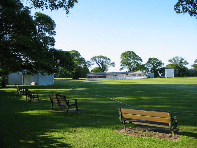
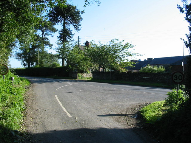
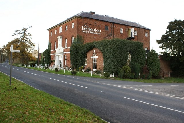
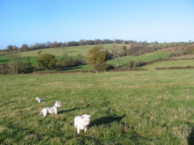
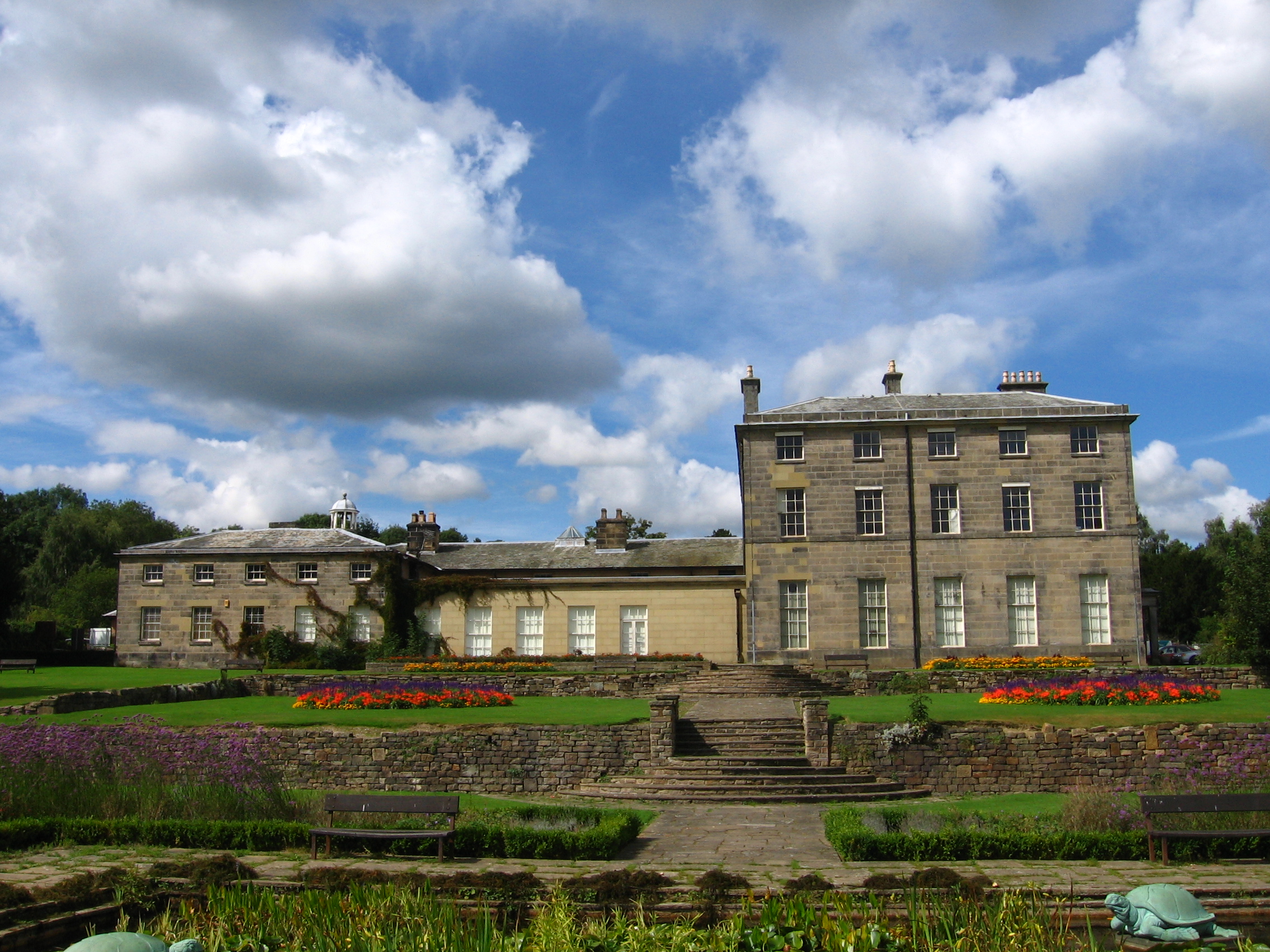
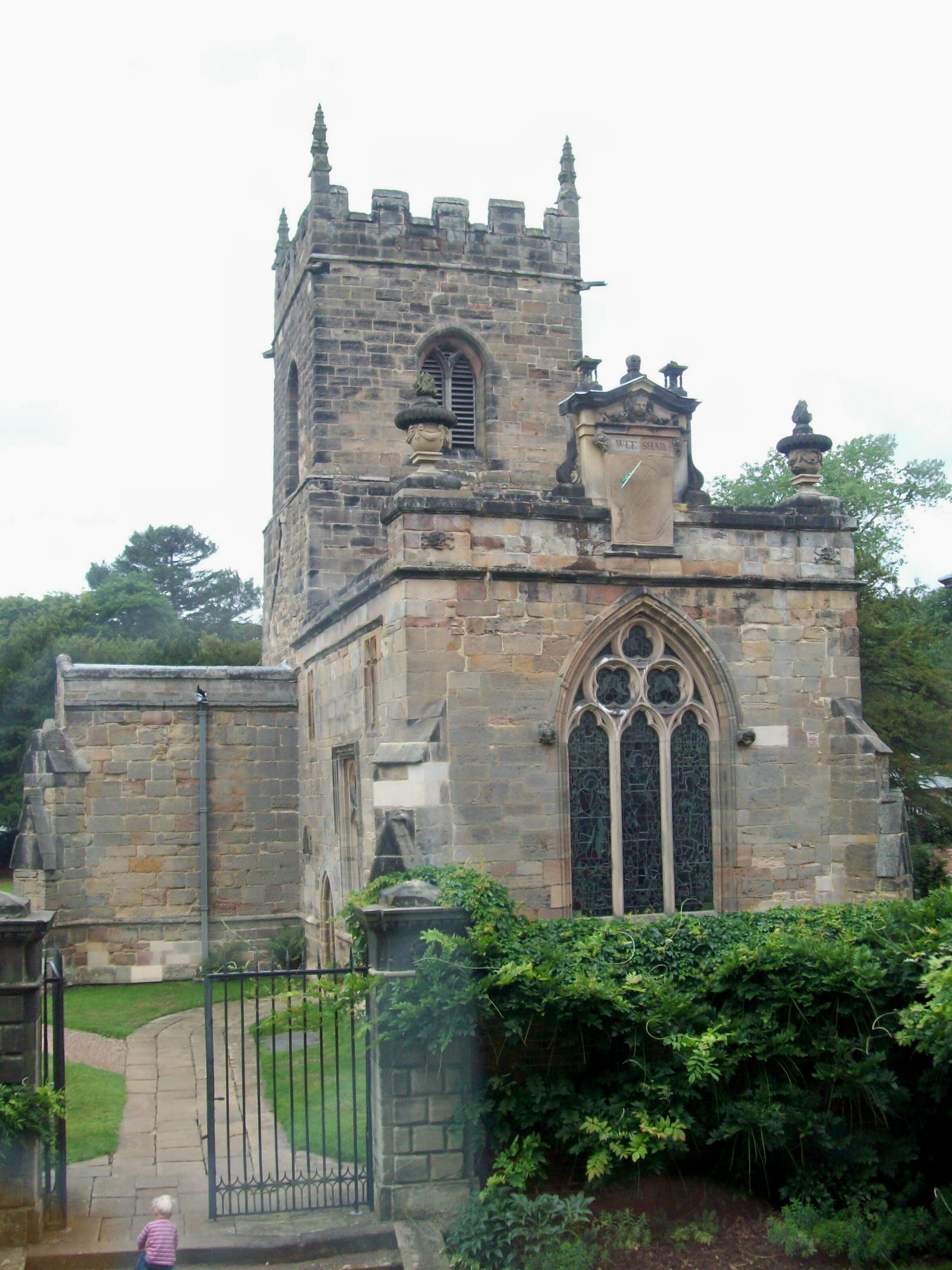
Bath Plantation Images

Images are sourced within 2km of 52.962896/-1.5115685 or Grid Reference SK3240. Thanks to Geograph Open Source API. All images are credited.

Kedleston Hall Built in 1765 for the Curzon family Kedleston Hall sits to the west of Derby within an expanse of attractive parkland. It is looked after by the National Trust.
Kedleston Hall
Built in 1765 for the Curzon family Kedleston Hall sits to the west of Derby within an expanse of attractive parkland. It is looked after by the National Trust.
Allestree Hall And Golf Course- Allestree Country Park Allestree Hall and golf course within Allestree Country Park. SK 347 406
Allestree Hall And Golf Course- Allestree Country Park
Allestree Hall and golf course within Allestree Country Park. SK 347 406
New house on the site of old listed farm buildings Peter Gadsby's new home on Burley Hill, which you can see towers above all the other houses. At one time these houses used to have open views over the farm and fields. The farm was once a listed building but somehow this monstrosity was allowed to be built in its place
<span class="nowrap"><a title="http://www.picturesofderby.co.uk/area_allestree.htm" rel="nofollow ugc noopener" href="http://www.picturesofderby.co.uk/area_allestree.htm">Link</a><img style="margin-left:2px;" alt="External link" title="External link - shift click to open in new window" src="https://s1.geograph.org.uk/img/external.png" width="10" height="10"/></span>
New house on the site of old listed farm buildings
Peter Gadsby's new home on Burley Hill, which you can see towers above all the other houses. At one time these houses used to have open views over the farm and fields. The farm was once a listed building but somehow this monstrosity was allowed to be built in its place LinkExternal link
Spring Well in Quarndon This rather ornate spring well is in the village of Quarndon.  A plaque inside the well has the following description "17th century chalybeate spring well. Once famous spa noted for medicinal waters containing iron. Visited by Daniel Defoe in 1727".
Spring Well in Quarndon
This rather ornate spring well is in the village of Quarndon. A plaque inside the well has the following description "17th century chalybeate spring well. Once famous spa noted for medicinal waters containing iron. Visited by Daniel Defoe in 1727".
Plaque Inside Spring Well
Quarndon Cricket Ground The cricket ground enjoys a delightful setting at the top of the village with views over the surrounding countryside.
Quarndon Cricket Ground
The cricket ground enjoys a delightful setting at the top of the village with views over the surrounding countryside.
Park Nook Farm Park Nook farm is situated just outside the village of Quarndon.
Park Nook Farm
Park Nook farm is situated just outside the village of Quarndon.
Open Farmland at Cumberhill A view over open farmland from the Cumberhills road.  Cumberhills road leads up a steep hill from Duffield out into the open countryside near Kedleston.
Open Farmland at Cumberhill
A view over open farmland from the Cumberhills road. Cumberhills road leads up a steep hill from Duffield out into the open countryside near Kedleston.
Champion Farm This track leads down to Champion Farm from the Cumberhills road.  Champion Farm sits high on the hillside overlooking Duffield.
Champion Farm
This track leads down to Champion Farm from the Cumberhills road. Champion Farm sits high on the hillside overlooking Duffield.
Kedleston Hall, the back of the house
Gothic Temple near Kedleston Park This gothic temple is on the edge of a wood close to Kedleston Park.  It appears to be a private residence now.
Gothic Temple near Kedleston Park
This gothic temple is on the edge of a wood close to Kedleston Park. It appears to be a private residence now.
The Kedleston Hotel and Restaurant The hotel is at the junction of Inn Lane and Kedleston Road, very close to Kedleston Park and Hall.
The Kedleston Hotel and Restaurant
The hotel is at the junction of Inn Lane and Kedleston Road, very close to Kedleston Park and Hall.
Kedleston Hall bridge Taken from Kedleston Hall, this photograph shows the Robert Adam bridge over the lake.
Kedleston Hall bridge
Taken from Kedleston Hall, this photograph shows the Robert Adam bridge over the lake.
Kedleston Hall (rear view)
Farmland at Quarndon View from near Quarndon looking towards Park Nook farm.
Farmland at Quarndon
View from near Quarndon looking towards Park Nook farm.
Siege Engine in basement Kedleston Hall French built Siege Engine abandoned at Kedleston by Bonnie Prince Charlie's Jacobite army on the retreat from Derby in January 1746.
Siege Engine in basement Kedleston Hall
French built Siege Engine abandoned at Kedleston by Bonnie Prince Charlie's Jacobite army on the retreat from Derby in January 1746.
Kedleston Hall
Kedleston Hall
Kedleston Hall
Kedleston Hall
Show me another place!

Bath Plantation is located at Grid Ref: SK3240 (Lat: 52.962896, Lng: -1.5115685)

Administrative County: Derbyshire

District: Amber Valley

Police Authority: Derbyshire

What 3 Words

///unity.sunset.expose. Near Duffield, Derbyshire

Related Wikis

Nearby Amenities

Located within 500m of 52.962896,-1.5115685
Post Box
Operator: Royal Mail
Operator Wikidata: Q638098
Post Box Type: lamp
Ref: DE22 74
Lat/Long: 52.9623781/-1.5056862
Barrier: stile
Stile: squeezer
Lat/Long: 52.9670867/-1.5125253
Chalybeate Spring Well
Natural: spring
Lat/Long: 52.9600183/-1.5062345
Barrier: stile
Material: wood
Source: survey;gps
Stile: stepover
Lat/Long: 52.9634802/-1.5061284
Barrier: stile
Steps: 2
Stile: stepover
Lat/Long: 52.9597222/-1.513915
Barrier: stile
Steps: 0
Stile: stepover
Lat/Long: 52.9606986/-1.5122253
Barrier: stile
Material: wood
Source: survey
Steps: 2
Stile: stepover
Lat/Long: 52.9634032/-1.5093956
Barrier: stile
Material: wood
Source: survey;gps
Stile: squeezer
Lat/Long: 52.9652312/-1.5113504
Barrier: stile
Source: survey;gps
Steps: 2
Stile: stepover
Lat/Long: 52.9649602/-1.5110107
Barrier: stile
Material: wood
Source: survey;gps
Stile: squeezer
Lat/Long: 52.9652573/-1.5113661
Barrier: stile
Steps: 0
Stile: stepover
Lat/Long: 52.9612292/-1.5063452
Barrier: stile
Steps: 1
Stile: stepover
Lat/Long: 52.9623799/-1.5081017
Addr City: Derby
Addr Housenumber: 114
Addr Postcode: DE22 5JA
Addr Street: Church Road
Addr Suburb: Quarndon
Disused Amenity: cafe
Old Fhrs Id: 939957
Old Name: Queenies Tea Room & Cake House
Lat/Long: 52.963738/-1.5047723
Crossing
Crossing: marked
Lat/Long: 52.9602662/-1.5058212
Bus Stop
Bench: yes
Bin: yes
Bus: yes
Public Transport: platform
Shelter: yes
Tactile Paving: no
Lat/Long: 52.9626715/-1.5054555
Direction: 175
Generator Method: photovoltaic
Generator Output Electricity: yes
Generator Solar Modules: 16
Generator Source: solar
Generator Type: solar_thermal_collector
Location: roof
Power: generator
Lat/Long: 52.9614898/-1.506134
Direction: 260
Generator Method: photovoltaic
Generator Output Electricity: yes
Generator Solar Modules: 14
Generator Source: solar
Generator Type: solar_thermal_collector
Location: roof
Power: generator
Lat/Long: 52.9603814/-1.5068248
Direction: 195
Generator Method: photovoltaic
Generator Output Electricity: yes
Generator Solar Modules: 15
Generator Source: solar
Generator Type: solar_thermal_collector
Location: roof
Power: generator
Lat/Long: 52.9639153/-1.5062018
Crossing
Crossing: marked
Lat/Long: 52.9602695/-1.505997
Entrance: main
Lat/Long: 52.9603366/-1.5059651
The data included in this document is from www.openstreetmap.org. The data is made available under ODbL.

Have you been to Bath Plantation?

Leave your review of Bath Plantation below (or comments, questions and feedback).