Bottom Covert
Wood, Forest in Derbyshire Amber Valley
England
Bottom Covert

Bottom Covert is a picturesque woodland area located in Derbyshire, England. Nestled in the heart of the county, this enchanting forest is a haven for nature enthusiasts and those seeking solace in the tranquility of the outdoors. Covering an expansive area of land, Bottom Covert is home to a diverse range of flora and fauna, making it a popular destination for both locals and tourists alike.
The woodland is characterized by its dense canopy of tall, majestic trees, which provide ample shade and a sense of seclusion. Walking through the forest, visitors are greeted by a symphony of chirping birds, rustling leaves, and the occasional scampering of woodland creatures. The forest floor is carpeted with a lush carpet of moss, ferns, and wildflowers, adding to its ethereal beauty.
Bottom Covert offers a myriad of opportunities for outdoor activities. Hiking enthusiasts can explore the numerous trails that wind through the forest, offering breathtaking views and a chance to immerse oneself in nature. The forest also features a number of picnic areas, where visitors can relax and enjoy a meal amidst the serenity of their surroundings.
For those interested in wildlife, Bottom Covert is a treasure trove. The woodland is home to a variety of bird species, including owls, woodpeckers, and robins, making it a perfect spot for birdwatching. Additionally, the forest is inhabited by small mammals such as squirrels and rabbits, as well as elusive deer that can occasionally be spotted in the early morning or evening hours.
Bottom Covert is a true gem of Derbyshire, offering a peaceful respite from the hustle and bustle of everyday life. Whether it's exploring the trails, observing wildlife, or simply taking in the natural beauty, a visit to Bottom Covert is sure to leave visitors feeling refreshed and connected to nature.
If you have any feedback on the listing, please let us know in the comments section below.
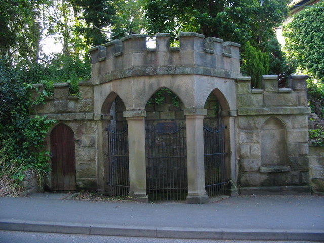
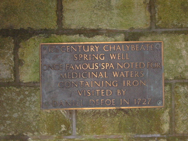
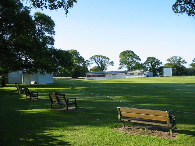
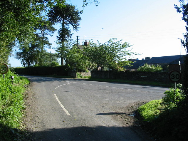
Bottom Covert Images
Images are sourced within 2km of 52.958699/-1.5227358 or Grid Reference SK3240. Thanks to Geograph Open Source API. All images are credited.


Bottom Covert is located at Grid Ref: SK3240 (Lat: 52.958699, Lng: -1.5227358)
Administrative County: Derbyshire
District: Amber Valley
Police Authority: Derbyshire
What 3 Words
///nurse.hardly.define. Near Duffield, Derbyshire
Nearby Locations
Related Wikis

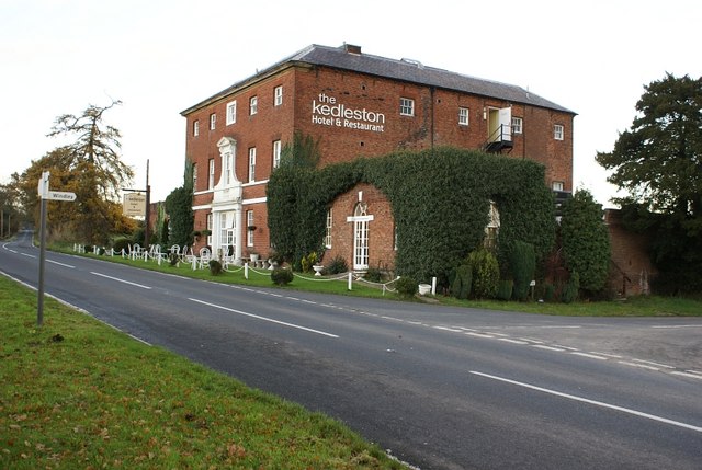
Kedleston Hall
Kedleston Hall is a neo-classical manor house owned by the National Trust, and seat of the Curzon family, located in Kedleston, Derbyshire, approximately...
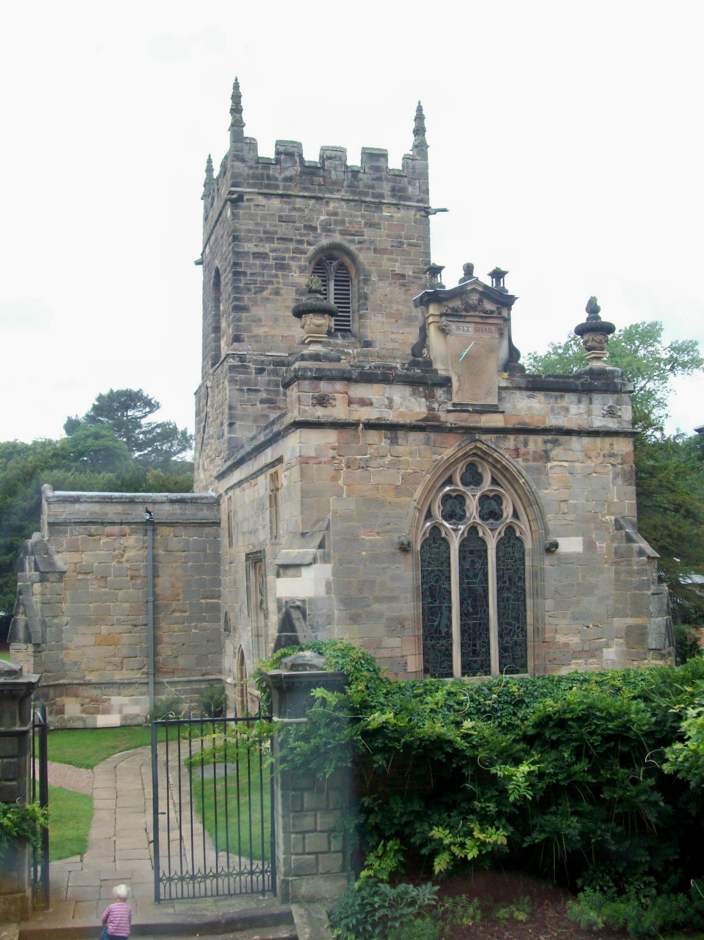
All Saints Church, Kedleston
All Saints' Church, Kedleston, is a redundant Anglican Church approx. 4 miles [6km] north-west of Derby, and all that remains of the medieval village of...

St Paul's Church, Quarndon
St Paul's Church, Quarndon is a Grade II listed parish church in the Church of England: 300 in Quarndon, Derbyshire. == History == The old church was...

Quarndon
Quarndon is a linear village in the south of the Amber Valley District of Derbyshire, England. It is spread along four minor upland roads, approximately...

Allestree Woodlands School
Allestree Woodlands School (formerly Woodlands School) is a coeducational academy secondary school and sixth form in Derby, England. == Admissions == The...
Kedleston
Kedleston is a village and civil parish in the Amber Valley district of Derbyshire, approximately 4 miles (6.4 km) north-west of Derby. Nearby places include...

Meynell Langley
Meynell Langley is a small area of settlement in Derbyshire, England. It is located between Kirk Langley and Kedleston. Meynell Langley Hall is the ancestral...

Derby North (UK Parliament constituency)
Derby North () is a constituency formed of part of the city of Derby, represented in the House of Commons of the UK Parliament since 2019 by Amanda Solloway...
Related Videos
Kedleston Hall national trust,walking tour in October 2023
Kedleston Hall is a neo-classical manor house owned by the National Trust, and seat of the Curzon family, located in Kedleston, ...
Cinematic Travel Video Kedleston Hall iPhone 15 Pro 4k
Welcome to a moment of pure tranquility as we embark on a leisurely walk around the enchanting Kedleston Hall. Leave the noise ...
Walking around Park Farm Shopping Centre, Derby, UK (4K Ultra HD 60fps) | Urban Walks 4K #002
Park Farm Shopping Centre is a shopping centre located on Birchover way. It was opened in October 1963 and at the time was ...
Walking in Allestree, Derby, UK (4K Ultra HD 60FPS) | Urban Walks 4K #001
Allestree is a suburb and ward of the city of Derby, a unitary authority area, in Derbyshire, England. It is the northernmost ward and ...
Nearby Amenities
Located within 500m of 52.958699,-1.5227358Have you been to Bottom Covert?
Leave your review of Bottom Covert below (or comments, questions and feedback).