Cooper's Acre Plantation
Wood, Forest in Hampshire
England
Cooper's Acre Plantation

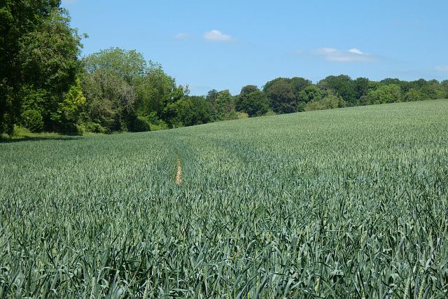
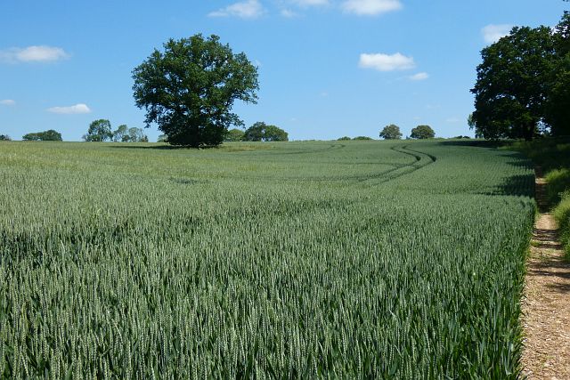
Cooper's Acre Plantation is a picturesque woodland located in Hampshire, England. Situated in the heart of the county, it covers an area of approximately 200 acres and is known for its dense and diverse forest ecosystem. The plantation is named after the Cooper family, who have owned the land for several generations.
The woodland consists mainly of native deciduous trees, such as oak, beech, and birch, creating a stunning display of colors throughout the seasons. The canopy provides ample shade, and the forest floor is carpeted with a variety of plants and wildflowers, including bluebells and primroses in the spring.
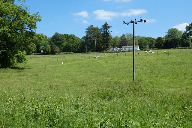
Cooper's Acre is home to a rich array of wildlife. Deer, foxes, and rabbits can often be spotted among the trees, while a variety of bird species, including woodpeckers and owls, can be heard singing and calling from above. The plantation also supports a diverse insect population, with butterflies and dragonflies flitting about in the warmer months.
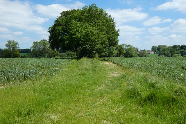
The woodland is open to the public, attracting nature enthusiasts, hikers, and families looking for a tranquil escape. A network of well-maintained trails winds through the forest, providing opportunities for leisurely walks or more challenging hikes. There are also picnic areas and benches strategically placed throughout, allowing visitors to soak in the serene surroundings.
Cooper's Acre Plantation is not only a haven for wildlife but also an important conservation area. Efforts are made to preserve the natural habitat and protect the delicate balance of the ecosystem. It is a place where visitors can reconnect with nature and appreciate the beauty of Hampshire's woodlands.
If you have any feedback on the listing, please let us know in the comments section below.
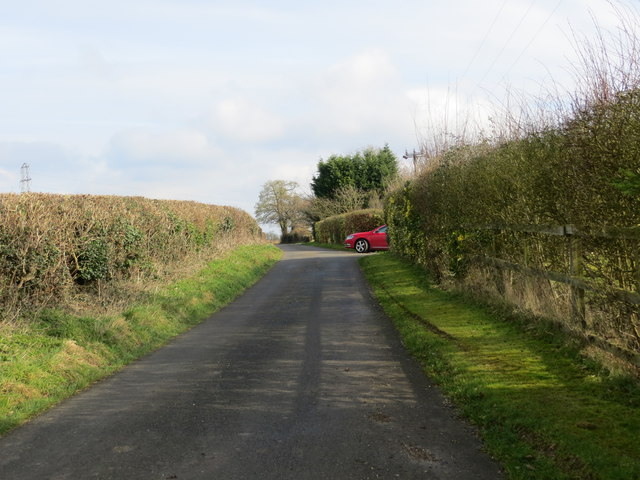
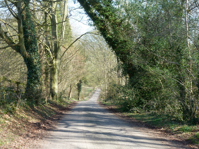
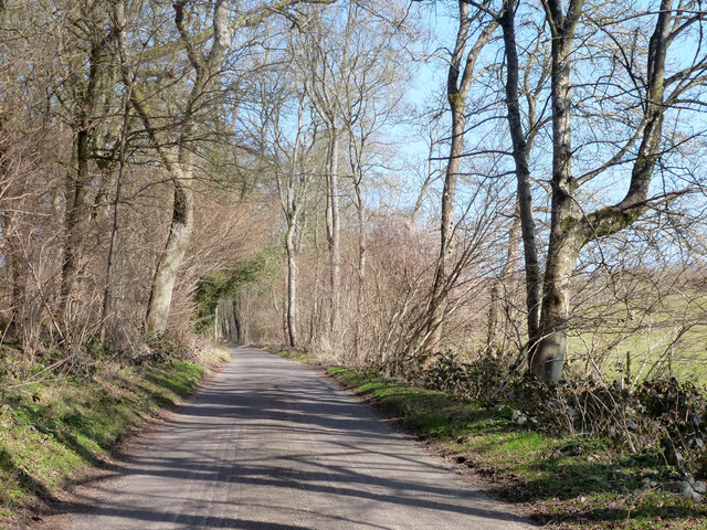
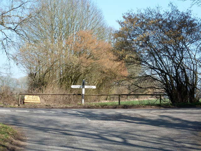
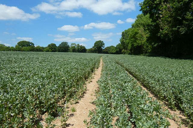
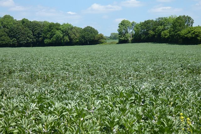
Cooper's Acre Plantation Images
Images are sourced within 2km of 51.260202/-1.5337594 or Grid Reference SU3251. Thanks to Geograph Open Source API. All images are credited.


Cooper's Acre Plantation is located at Grid Ref: SU3251 (Lat: 51.260202, Lng: -1.5337594)
Unitary Authority: Wiltshire
Police Authority: Wiltshire
What 3 Words
///pinging.rattled.sobered. Near Andover, Hampshire
Nearby Locations
Related Wikis

Tangley
Tangley is a village in the English county of Hampshire. Tangley is situated north of the old market town of Andover and the village of Charlton, Hampshire...

Chute Forest
Chute Forest is a village and civil parish in east Wiltshire, England. The parish is bordered to the east and south by the county of Hampshire. The village...

St Mary's Church, Chute Forest
St Mary's Church in Chute Forest, Wiltshire, England, was built between 1870 and 1871 and consecrated in 1875. It is recorded in the National Heritage...

Hatherden
Hatherden is a village and civil parish in the Test Valley district of Hampshire, England. Its nearest town is Andover, which lies approximately 3.3 miles...
Little Hatherden
Little Hatherden is a small village in the civil parish of Hatherden in the Test Valley district of Hampshire, England. It is in the civil parish of Tangley...

Clanville
Clanville is a hamlet in the civil parish of Penton Grafton in the Test Valley district of Hampshire, England. The hamlet lies within the North Downs Area...
Wildhern
Wildhern is a small village and civil parish in the Test Valley district of Hampshire, England. It is in the civil parish of Tangley. Its nearest town...
Bevisbury
Bevisbury is the site of a former Iron Age plateau fort in Hampshire, England. The fort lies on a chalk ridge and is of a single bank and ditch construction...
Nearby Amenities
Located within 500m of 51.260202,-1.5337594Have you been to Cooper's Acre Plantation?
Leave your review of Cooper's Acre Plantation below (or comments, questions and feedback).