Rodlease Rough
Wood, Forest in Hampshire New Forest
England
Rodlease Rough
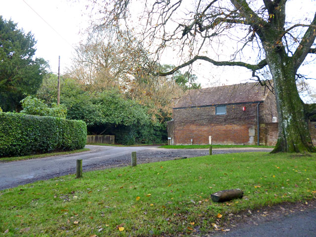
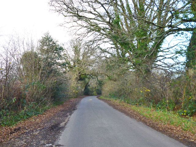
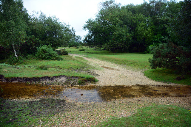
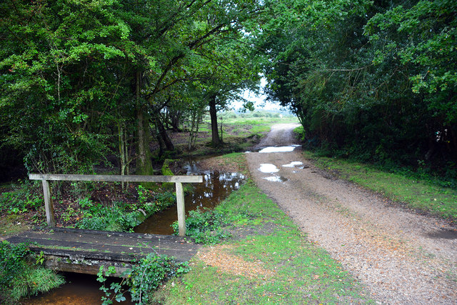
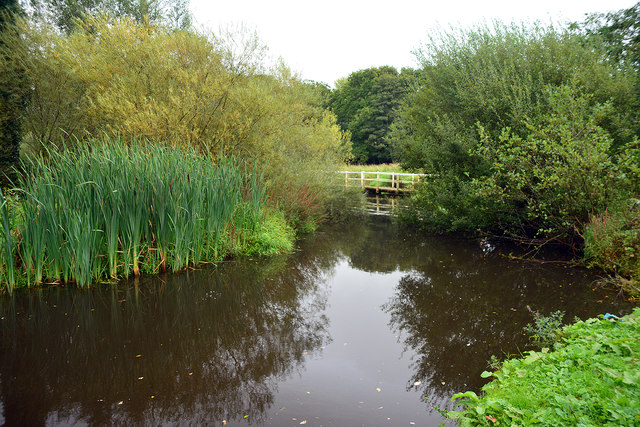
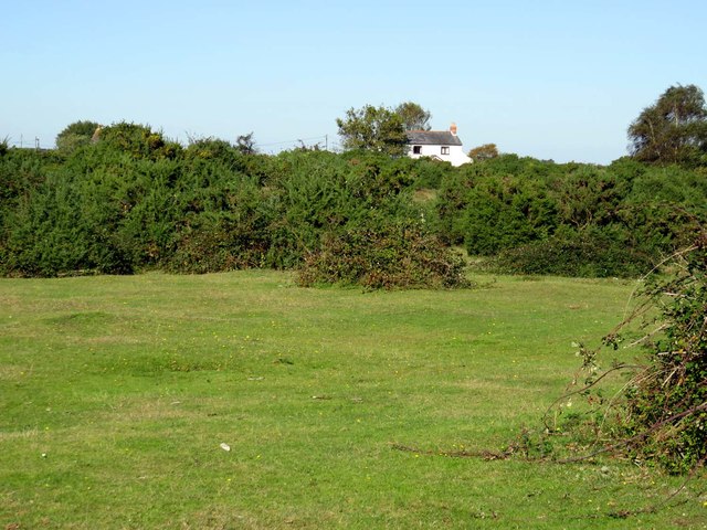
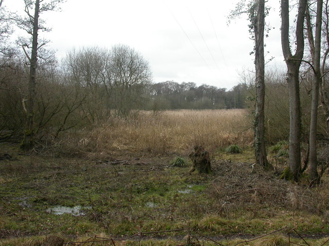
Rodlease Rough is a picturesque woodland located in the county of Hampshire, England. Covering an area of approximately 100 acres, it is a true haven for nature lovers and outdoor enthusiasts. The woodland is situated near the village of Rodlease and is a popular destination for locals and visitors alike.
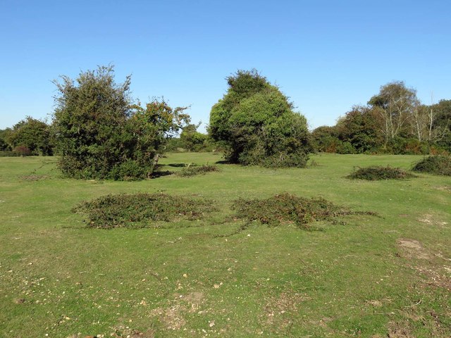
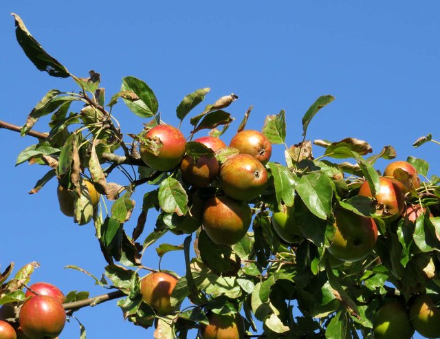
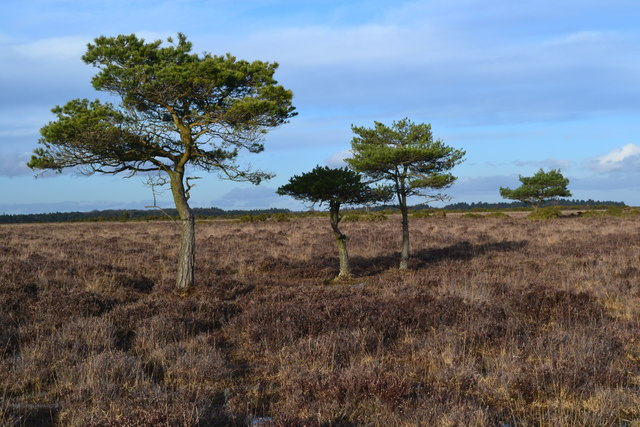
With its diverse range of trees, including oak, beech, and birch, Rodlease Rough offers a stunning display of colors throughout the seasons. In spring, the forest floor is adorned with vibrant wildflowers, creating a magical atmosphere. The trees provide ample shade during the summer months, making it an ideal spot for picnicking and relaxation.
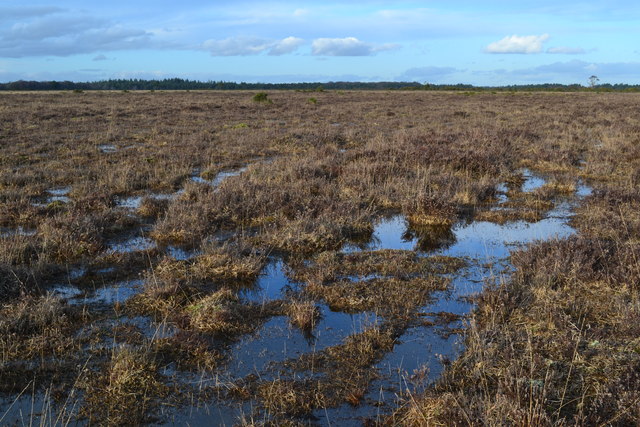
The woodland is home to a variety of wildlife, including deer, foxes, and a rich assortment of bird species. Birdwatchers flock to Rodlease Rough to catch a glimpse of elusive species such as woodpeckers and tawny owls. The tranquil setting also attracts photographers, who seek to capture the beauty of the surrounding flora and fauna.
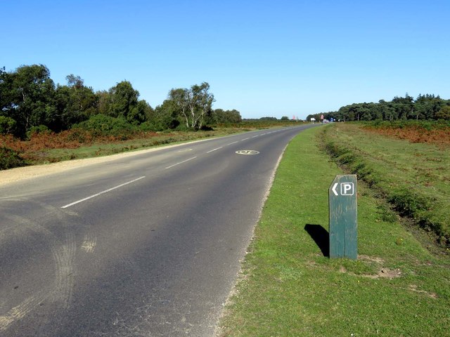
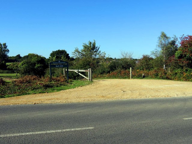
There are several well-maintained walking trails that crisscross the woodland, providing visitors with the opportunity to explore its hidden treasures. These trails range in difficulty, catering to both casual walkers and more avid hikers. Additionally, there are designated areas for camping and barbecues, allowing visitors to fully immerse themselves in the natural beauty of the forest.
Overall, Rodlease Rough in Hampshire offers a serene and idyllic setting for those seeking respite from the hustle and bustle of everyday life. Its lush vegetation, abundant wildlife, and well-maintained trails make it a must-visit destination for nature enthusiasts and those looking to reconnect with the great outdoors.
If you have any feedback on the listing, please let us know in the comments section below.
Rodlease Rough Images
Images are sourced within 2km of 50.787724/-1.5411817 or Grid Reference SZ3298. Thanks to Geograph Open Source API. All images are credited.


Rodlease Rough is located at Grid Ref: SZ3298 (Lat: 50.787724, Lng: -1.5411817)
Administrative County: Hampshire
District: New Forest
Police Authority: Hampshire
What 3 Words
///jugs.tops.printer. Near Lymington, Hampshire
Nearby Locations
Related Wikis

Pilley, Hampshire
Pilley is a small village in the civil parish of Boldre, in the New Forest national park in Hampshire, England. Pilley is located 2 miles north of the...
Boldre
Boldre is a village and civil parish in the New Forest district of Hampshire, England. It is in the south of the New Forest National Park, above the broadening...

Ampress Works Halt railway station
Ampress Works Halt was a halt station on the Lymington Branch Line which, between 1956 and 1989, served the Wellworthy engineering works near Lymington...

Roydon Woods
Roydon Woods is a 294.9-hectare (729-acre) biological Site of Special Scientific Interest near Brockenhurst in Hampshire. It is a nature reserve managed...
Lymington River Reedbeds
Lymington River Reedbeds is a 41.7-hectare (103-acre) biological Site of Special Scientific Interest in Lymington in Hampshire. It is a nature reserve...

Portmore, Hampshire
Portmore is a hamlet in the New Forest National Park of Hampshire, England. It is in the civil parish of Boldre. Its nearest town is Lymington, which...

A337 road
The A337 road is a road in southern England that runs from the M27 motorway in Hampshire to Christchurch in Dorset. == Route of Road == The A337 begins...

Lymington New Forest Hospital
Lymington New Forest Hospital is a community hospital in Lymington, Hampshire. It is managed by the Southern Health NHS Foundation Trust. == History... ==
Nearby Amenities
Located within 500m of 50.787724,-1.5411817Have you been to Rodlease Rough?
Leave your review of Rodlease Rough below (or comments, questions and feedback).