Long Croft Copse
Wood, Forest in Hampshire Test Valley
England
Long Croft Copse
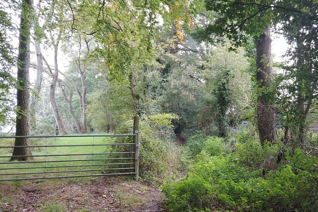
Long Croft Copse is a picturesque woodland located in the county of Hampshire, England. Spanning over several acres, this enchanting copse is a natural treasure that captivates visitors with its abundant flora and fauna.
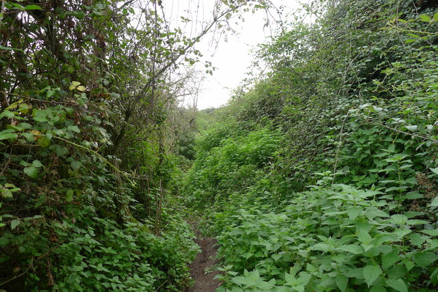
Situated in the heart of the Hampshire countryside, Long Croft Copse is characterized by its dense canopy of towering trees, predominantly consisting of oak, beech, and birch. The woodland floor is adorned with a vibrant tapestry of wildflowers, including bluebells, primroses, and wood anemones, creating a breathtaking display during the spring months.
The copse is home to a diverse array of wildlife, offering a haven for nature enthusiasts and birdwatchers alike. Visitors may be lucky enough to spot species such as deer, foxes, badgers, and a variety of birdlife, including woodpeckers, owls, and warblers.
Long Croft Copse is a popular destination for outdoor activities and offers numerous walking trails and nature paths that wind through the woodland, providing visitors with opportunities to explore its beauty at their own pace. The tranquil atmosphere and the soothing sounds of nature make it an ideal location for those seeking peace and relaxation.
Managed by local conservation groups, Long Croft Copse is carefully preserved to maintain its natural integrity. Regular maintenance work, such as tree thinning and path upkeep, ensures the copse remains a healthy and thriving ecosystem for both flora and fauna.
Overall, Long Croft Copse is a captivating woodland that showcases the beauty of Hampshire's natural landscape. It serves as a peaceful retreat for nature lovers, offering a glimpse into the region's rich biodiversity and providing a serene escape from the hustle and bustle of everyday life.
If you have any feedback on the listing, please let us know in the comments section below.
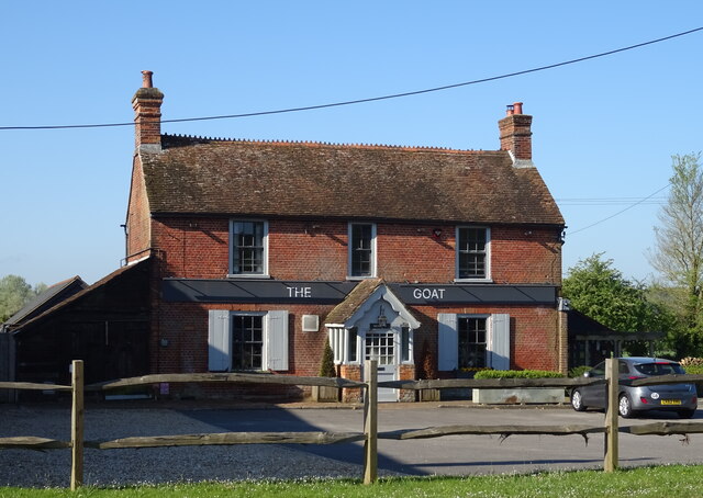
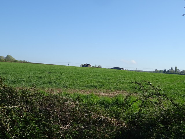
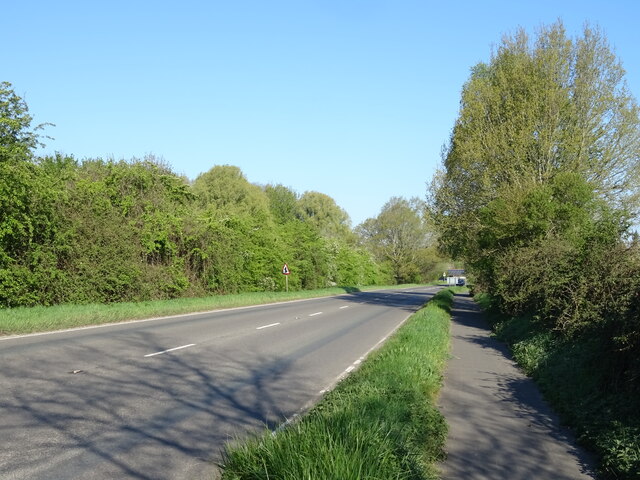
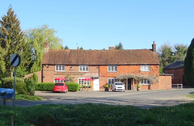
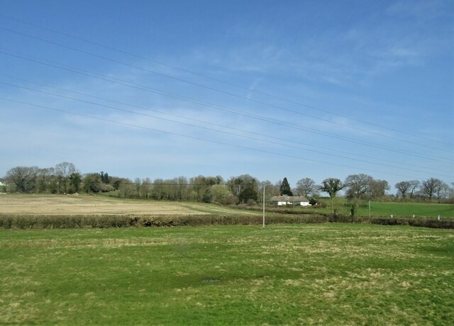
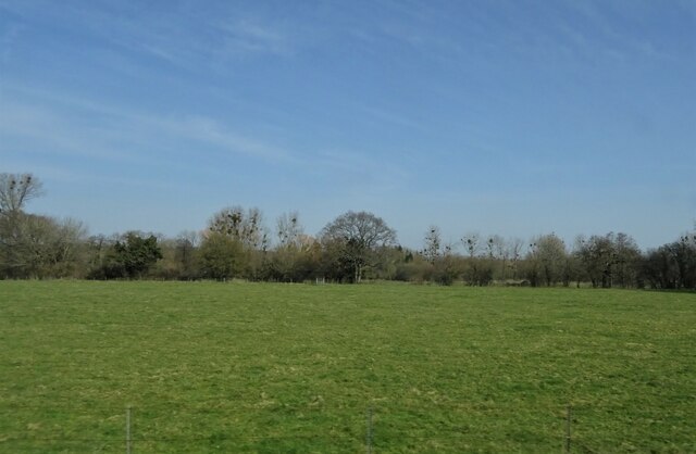
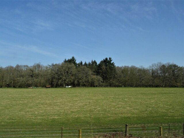
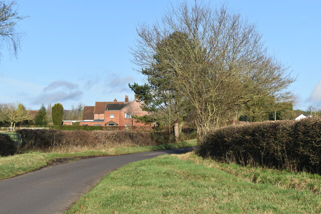
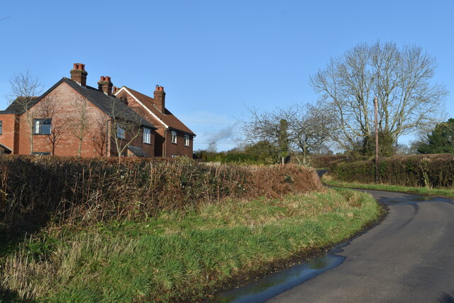
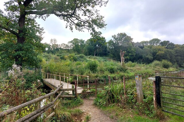
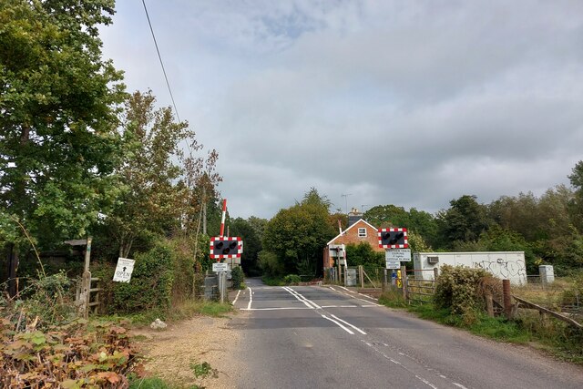
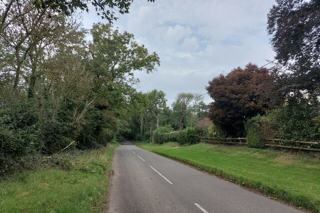
Long Croft Copse Images
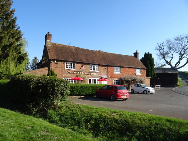
Images are sourced within 2km of 51.018758/-1.5389066 or Grid Reference SU3224. Thanks to Geograph Open Source API. All images are credited.
Long Croft Copse is located at Grid Ref: SU3224 (Lat: 51.018758, Lng: -1.5389066)
Administrative County: Hampshire
District: Test Valley
Police Authority: Hampshire
What 3 Words
///frowns.however.bookmark. Near Romsey, Hampshire
Related Wikis

Kimbridge
Kimbridge is a small village and civil parish in the Test Valley district of Hampshire, England. Its nearest town is Romsey, which lies approximately 4...

Awbridge
Awbridge is a small village and civil parish in the Test Valley district of Hampshire, England, about three miles northwest of Romsey, and near the River...
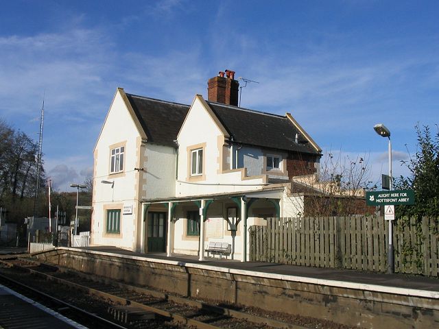
Mottisfont & Dunbridge railway station
Mottisfont & Dunbridge railway station serves the village of Dunbridge in Hampshire, England. It is on the Wessex Main Line, 84 miles 21 chains (135.6...

Dunwood Camp
Dunwood Camp is the site of an Iron Age hillfort located in Hampshire. It occupies the summit of a sandy hill. It has a single Rampart (fortification)...
Nearby Amenities
Located within 500m of 51.018758,-1.5389066Have you been to Long Croft Copse?
Leave your review of Long Croft Copse below (or comments, questions and feedback).