Dillington

Settlement in Huntingdonshire Huntingdonshire

England

Dillington

Beachampstead Road, Great Staughton From The Highway which goes to Kimbolton.
Beachampstead Road, Great Staughton Credit: David Howard

Dillington is a small village located in the district of Huntingdonshire, England. Situated in the eastern region of the county, it is surrounded by picturesque countryside and offers a tranquil atmosphere for its residents. The village is part of the civil parish of Catworth and is nestled between the towns of Kimbolton and Thrapston.

Dillington is a quintessential English village, known for its quaint charm and traditional architecture. The village mainly consists of residential properties, ranging from charming cottages to larger family homes. The community is tight-knit, with a population of around 200 residents, fostering a strong sense of community spirit.

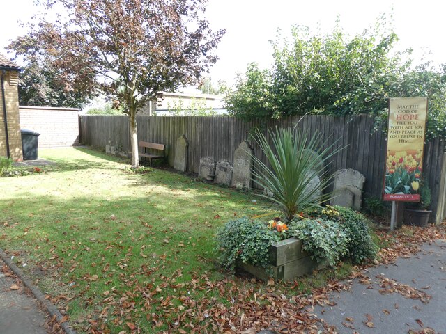
The village is home to St. Nicholas Church, a beautiful medieval church that serves as a focal point for religious and community events. The church's architecture showcases a mixture of Norman and Gothic styles, attracting visitors with its historical significance.

Although Dillington is a small village, it benefits from its proximity to nearby towns, providing easy access to essential amenities and services. Residents can enjoy the tranquility of village life while still having the convenience of urban facilities within a short distance.

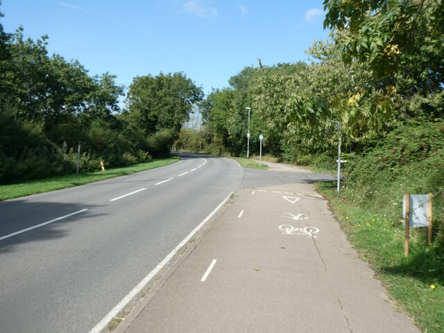
Surrounded by stunning countryside, Dillington offers ample opportunities for outdoor activities and exploration. The area boasts scenic walking trails, allowing residents and visitors to immerse themselves in the natural beauty of the region.

In summary, Dillington is a charming and idyllic village in Huntingdonshire, offering residents a peaceful and close-knit community lifestyle, while being within reach of essential amenities and surrounded by picturesque countryside.

If you have any feedback on the listing, please let us know in the comments section below.
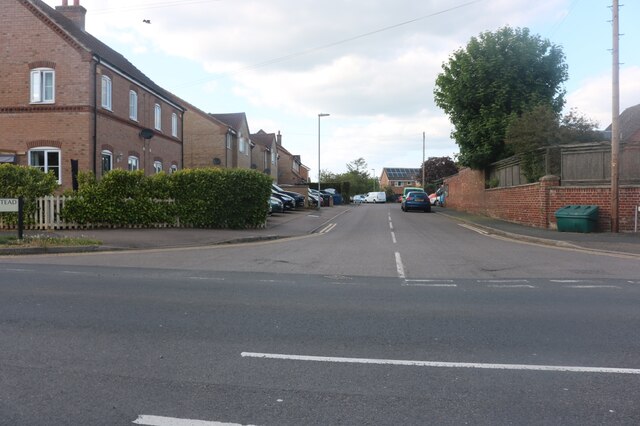
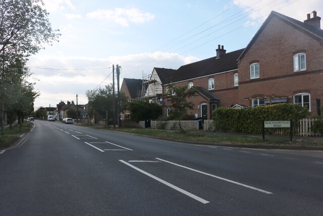
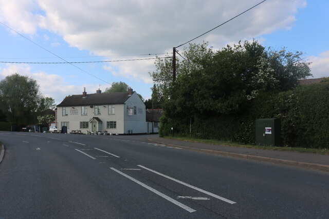
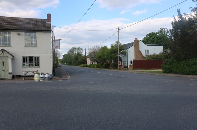
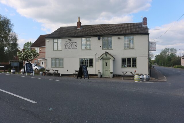
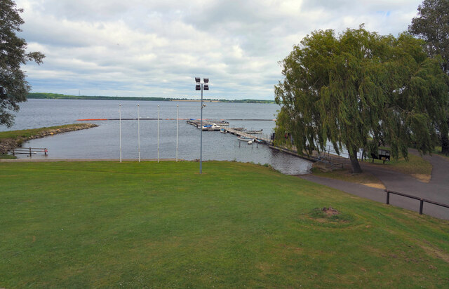
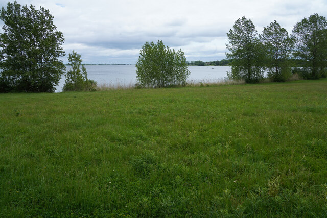
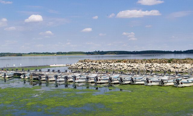
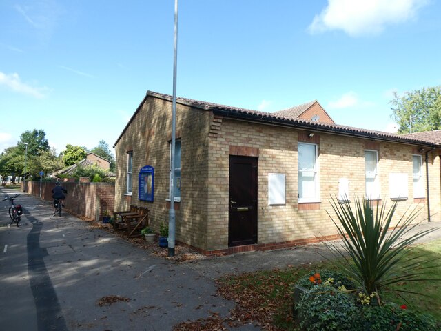
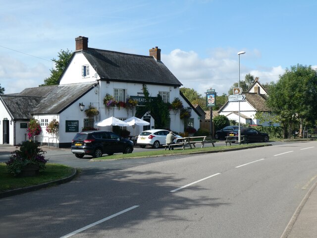
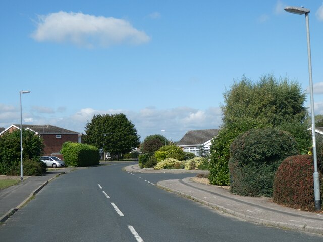
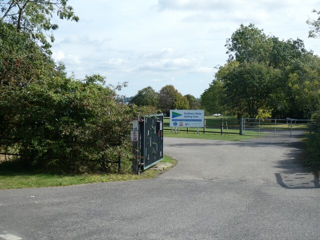
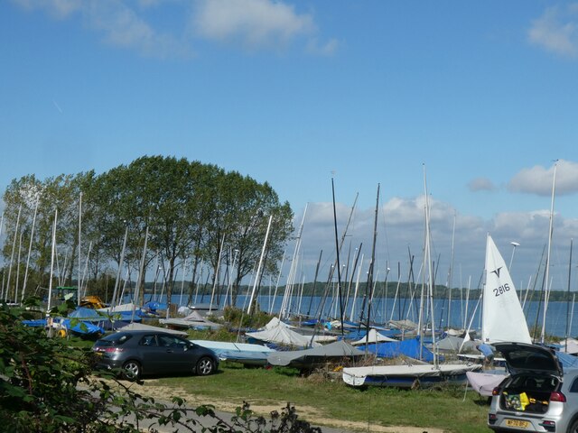
Dillington Images

Images are sourced within 2km of 52.277191/-0.333397 or Grid Reference TL1365. Thanks to Geograph Open Source API. All images are credited.

Beachampstead Road, Great Staughton From The Highway which goes to Kimbolton.
Beachampstead Road, Great Staughton
From The Highway which goes to Kimbolton.
The Highway, Great Staughton
The Green, Great Staughton Looking towards the Snooty Tavern
The Green, Great Staughton
Looking towards the Snooty Tavern
The B661, Great Staughton At the junction of The Green. The Snooty Tavern is on the left.
The B661, Great Staughton
At the junction of The Green. The Snooty Tavern is on the left.
The Snooty Tavern, Staughton Green
Grafham Water A view across Grafham Water from a position to the right of the cafe. Next to the jetty are a series of rowing and powered boats for the use of fishermen.
Grafham Water
A view across Grafham Water from a position to the right of the cafe. Next to the jetty are a series of rowing and powered boats for the use of fishermen.
A woodland path One of the varied paths and or cycle tracks that are to be found around Grafham Water.
A woodland path
One of the varied paths and or cycle tracks that are to be found around Grafham Water.
Grafham Water Looking back across an area of grass towards the visitor centre and car park, which cannot be seen as they are hidden by the sparse trees and bushes.
Grafham Water
Looking back across an area of grass towards the visitor centre and car park, which cannot be seen as they are hidden by the sparse trees and bushes.
East Perry : Perry Baptist Church
Grafham Water : fishing boats for hire
Cycle path by B661 east of Perry Part of the cycle route around the reservoir runs beside the road, as there is no convenient way closer to the water
Cycle path by B661 east of Perry
Part of the cycle route around the reservoir runs beside the road, as there is no convenient way closer to the water
The church garden and old gravestones, Perry Baptist Church The church <a href="https://www.geograph.org.uk/photo/7241580">TL1466 : East Perry : Perry Baptist Church</a> dates from 1990, replacing the unsafe building dated 1841; the gravestones had to be moved when the present building was built
The church garden and old gravestones, Perry Baptist Church
The church TL1466 : East Perry : Perry Baptist Church dates from 1990, replacing the unsafe building dated 1841; the gravestones had to be moved when the present building was built
Perry Baptist Church
The Wheatsheaf, Perry
Glebe Road, Perry A small housing estate
Glebe Road, Perry
A small housing estate
Entrance to Grafham Water Sailing Club
Sailing boats, Grafham Water Sailing Club
Seats with a view of Grafham Water, Perry
Show me another place!

Dillington is located at Grid Ref: TL1365 (Lat: 52.277191, Lng: -0.333397)

Administrative County: Cambridgeshire

District: Huntingdonshire

Police Authority: Cambridgeshire

What 3 Words

///tinsel.nurses.snowballs. Near Kimbolton, Cambridgeshire

Nearby Locations

Dillington

Related Wikis

Perry Woods

Perry Woods is a 67.9-hectare (168-acre) biological Site of Special Scientific Interest south-east of Kimbolton in Cambridgeshire. It is composed of three...

Perry, Cambridgeshire

Perry is a village and civil parish in Cambridgeshire, England, approximately 6 miles (10 km) south-west of Huntingdon. Perry is in Huntingdonshire, a...

Gaynes Hall

Gaynes Hall is a Grade II* listed Georgian mansion set in 20 acres (81,000 m2) of parkland in the heart of the Cambridgeshire countryside. Located in the...

Great Staughton

Great Staughton is a village and civil parish in Cambridgeshire, England. Great Staughton lies approximately 8 miles (13 km) south-west of Huntingdon....

Nearby Amenities

Located within 500m of 52.277191,-0.333397
Post Box
Created By: Potlatch 0.4b
Lat/Long: 52.2771322/-0.3362221
Dillington
Is In: Cambridgeshire
Place: village
Lat/Long: 52.2774148/-0.3360914
Agden Green Farm
Naptan AtcoCode: 0500HGRES001
Naptan Bearing: NE
Naptan BusStopType: CUS
Naptan CommonName: Agden Green Farm
Naptan Indicator: opp
Naptan Landmark: Agden Green Farm
Naptan NaptanCode: cmbdpdjd
Naptan ShortCommonName: Agden Green Farm
Naptan Street: The Green
Naptan Verified: no
Source: naptan_import
Lat/Long: 52.2781345/-0.3389074
Agden Green Farm
Naptan AtcoCode: 0500HGRES002
Naptan Bearing: SW
Naptan BusStopType: CUS
Naptan CommonName: Agden Green Farm
Naptan Indicator: near
Naptan Landmark: Agden Green Farm
Naptan NaptanCode: cmbdpdjg
Naptan ShortCommonName: Agden Green Farm
Naptan Street: The Green
Naptan Verified: no
Source: naptan_import
Lat/Long: 52.2780969/-0.3387915
Power: tower
Source: bing
Lat/Long: 52.2746944/-0.3328667
Power: tower
Source: bing
Lat/Long: 52.2767389/-0.3326586
Power: tower
Source: bing
Lat/Long: 52.2795921/-0.3323771
Power: pole
Lat/Long: 52.2759964/-0.3287475
Power: pole
Lat/Long: 52.275773/-0.3315585
Power: pole
Lat/Long: 52.2747907/-0.3331187
Power: pole
Lat/Long: 52.2742568/-0.3346805
Power: pole
Lat/Long: 52.2737413/-0.3362306
Power: pole
Lat/Long: 52.2754415/-0.3319286
Place: farm
Lat/Long: 52.2749229/-0.3301286
The data included in this document is from www.openstreetmap.org. The data is made available under ODbL.

Have you been to Dillington?

Leave your review of Dillington below (or comments, questions and feedback).