Kings Wood
Wood, Forest in Warwickshire Warwick
England
Kings Wood
Kings Wood, located in Warwickshire, England, is a picturesque forest that spans approximately 150 acres. It is a part of the historic Forest of Arden and is nestled between the charming villages of Lapworth and Earlswood. The wood is owned and maintained by the Kingswood Trust, a non-profit organization dedicated to the preservation and education of the local environment.
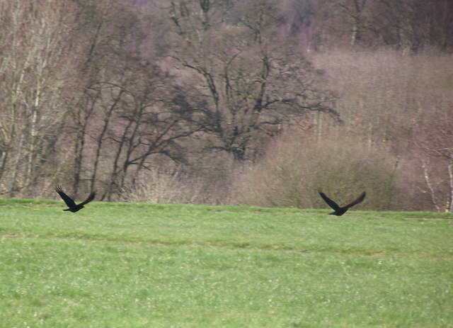
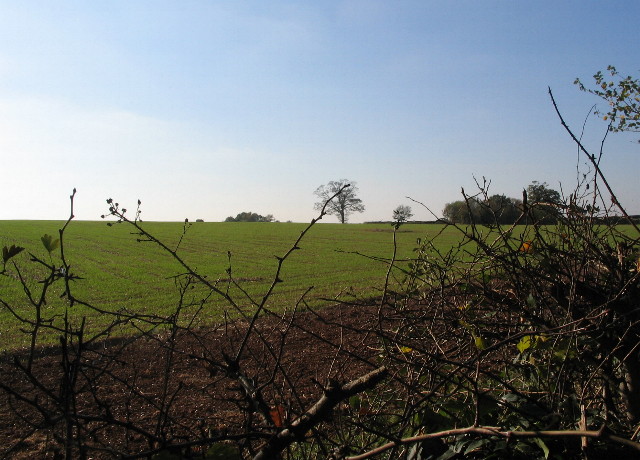
The woodland is predominantly made up of broadleaf trees, including oak, ash, birch, and beech, which create a rich and diverse ecosystem. The forest floor is covered in a blanket of wildflowers, ferns, and mosses, adding to its natural beauty. Kings Wood is also home to a variety of wildlife, including deer, badgers, foxes, and a wide range of bird species.
The wood offers a network of well-maintained walking trails, allowing visitors to explore the peaceful surroundings. These trails cater to different levels of difficulty, making it accessible for all ages and abilities. Additionally, there are designated picnic areas and benches scattered throughout the wood, providing visitors with the perfect opportunity to relax and immerse themselves in nature.
Kings Wood is not only a haven for nature enthusiasts but also serves as an educational resource. The Kingswood Trust organizes various workshops and activities for schools and community groups, aiming to promote environmental awareness and conservation. These initiatives include tree planting, wildlife surveys, and educational sessions on woodland management.
Overall, Kings Wood, Warwickshire, offers a serene and idyllic setting for individuals seeking a retreat into nature. Its diverse flora and fauna, coupled with its commitment to environmental education, make it a valuable asset to the local community and a must-visit destination for nature lovers.
If you have any feedback on the listing, please let us know in the comments section below.
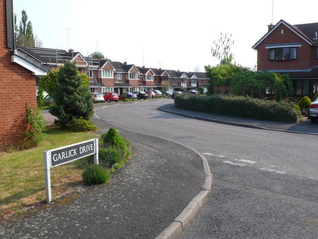
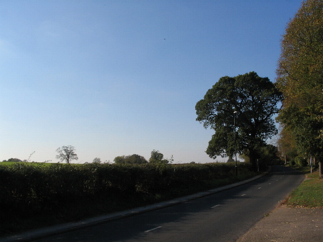
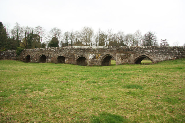
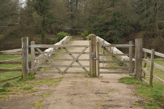
Kings Wood Images
Images are sourced within 2km of 52.354139/-1.5277441 or Grid Reference SP3273. Thanks to Geograph Open Source API. All images are credited.


Kings Wood is located at Grid Ref: SP3273 (Lat: 52.354139, Lng: -1.5277441)
Administrative County: Warwickshire
District: Warwick
Police Authority: Warwickshire
What 3 Words
///emerge.sheets.dizzy. Near Kenilworth, Warwickshire
Nearby Locations
Related Wikis

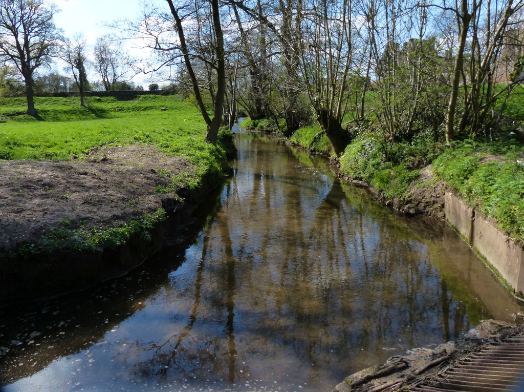
River Sowe
The River Sowe is a river in Warwickshire and West Midlands, England. It is a tributary of the River Avon, and flows into it just south of Stoneleigh...
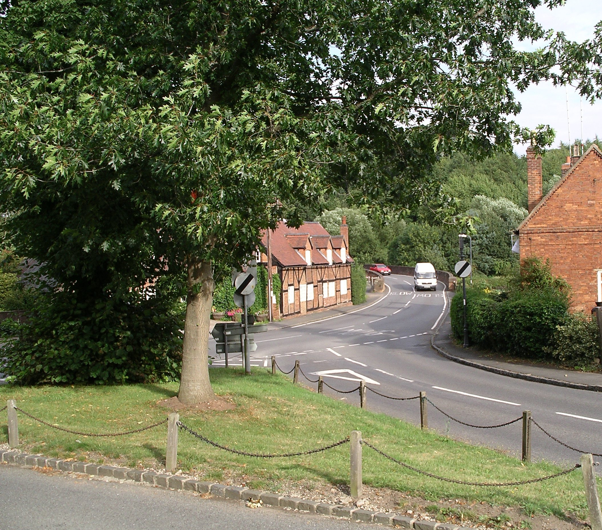
Stoneleigh, Warwickshire
Stoneleigh is a small village in Warwickshire, England, on the River Sowe, situated 4.5 miles (7.25 km) south of Coventry and 5.5 miles (9 km) north of...
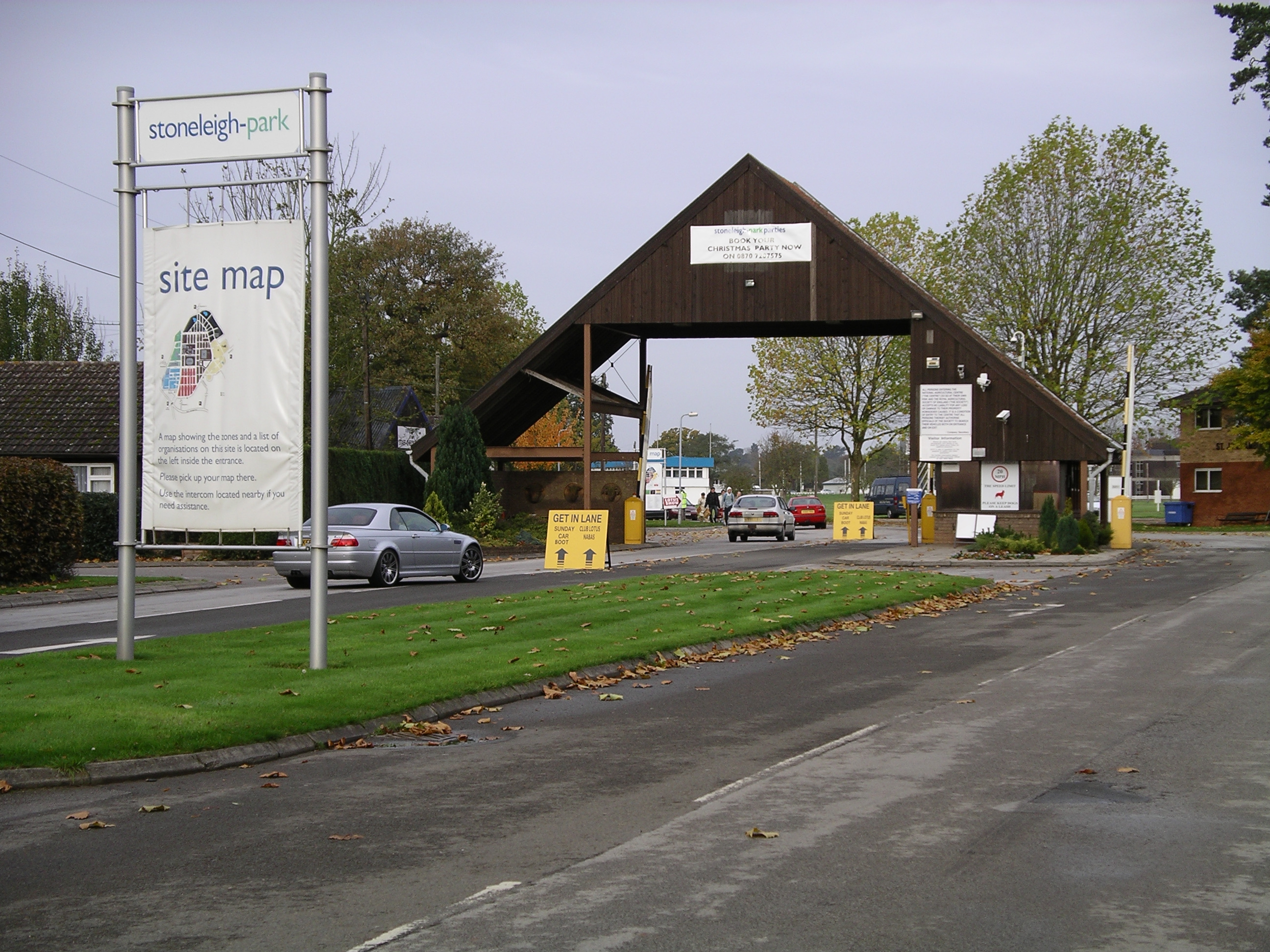
Stoneleigh Park
Stoneleigh Park, known between 1963 and 2013 as the National Agricultural Centre, is a business park located south-west of the village of Stoneleigh, Warwickshire...
Finham Brook
The Finham Brook is a lower tributary of the River Sowe, it flows through Kenilworth and Warwickshire, England, to join the Sowe near Finham. Its principal...
Nearby Amenities
Located within 500m of 52.354139,-1.5277441Have you been to Kings Wood?
Leave your review of Kings Wood below (or comments, questions and feedback).