Beamore Wood

Wood, Forest in Derbyshire Amber Valley

England

Beamore Wood

View to a water pumping station North of Carr Lane between Riber and Tansley
View to a water pumping station Credit: Neil Theasby

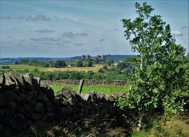
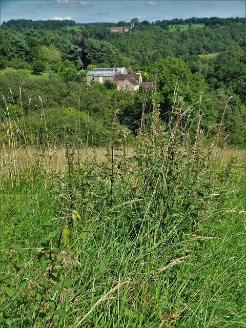
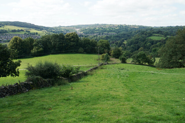
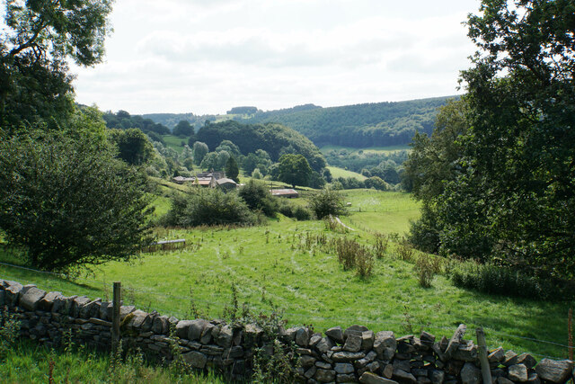
Beamore Wood, located in Derbyshire, is a picturesque woodland area that covers an approximate area of 50 hectares. This enchanting forest is situated near the village of Beamore, attracting nature enthusiasts, hikers, and wildlife lovers alike. The wood is well-known for its diverse range of flora and fauna and offers a tranquil escape for visitors seeking solace in nature.

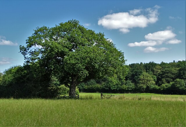
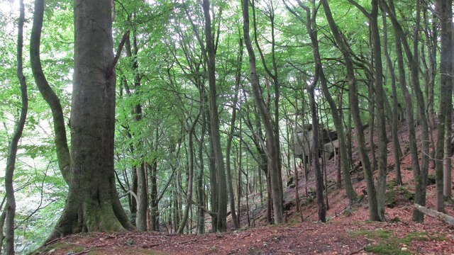
The woodland is predominantly composed of broadleaf trees, including oak, beech, and birch, which create a dense canopy, providing shade and shelter to the forest floor. In spring, the forest is adorned with a vibrant carpet of bluebells, creating a breathtaking spectacle that attracts photographers and nature lovers from far and wide.

Walking through Beamore Wood, one can encounter a variety of wildlife species. Squirrels can be spotted scurrying up the trees, while bird enthusiasts may be delighted by the songs of various avian species such as thrushes, woodpeckers, and owls. The more observant visitors may even catch a glimpse of deer or foxes, adding to the enchantment of the woodland experience.

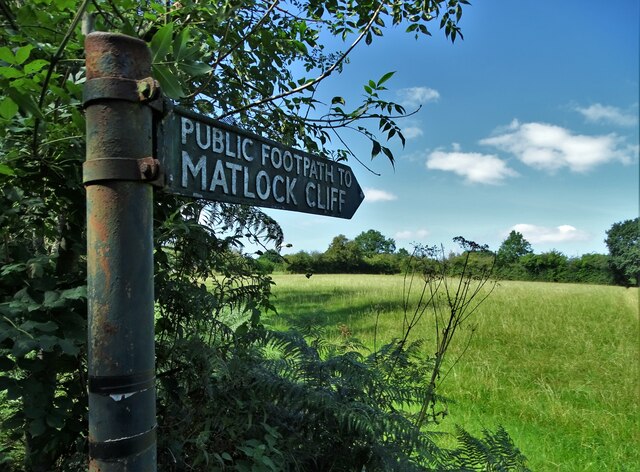
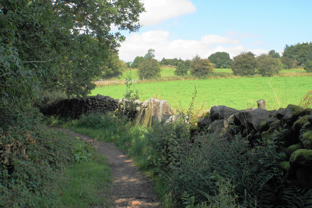
Well-maintained footpaths and trails crisscross through the wood, allowing visitors to explore its beauty at their own pace. Whether one prefers a leisurely stroll or a challenging hike, Beamore Wood caters to all levels of fitness and outdoor interests. Additionally, the area offers picnic spots and benches, providing opportunities for visitors to rest and enjoy the serene surroundings.

Beamore Wood is a cherished natural treasure in Derbyshire, offering a haven of tranquility and beauty for all those who venture into its embrace.

If you have any feedback on the listing, please let us know in the comments section below.
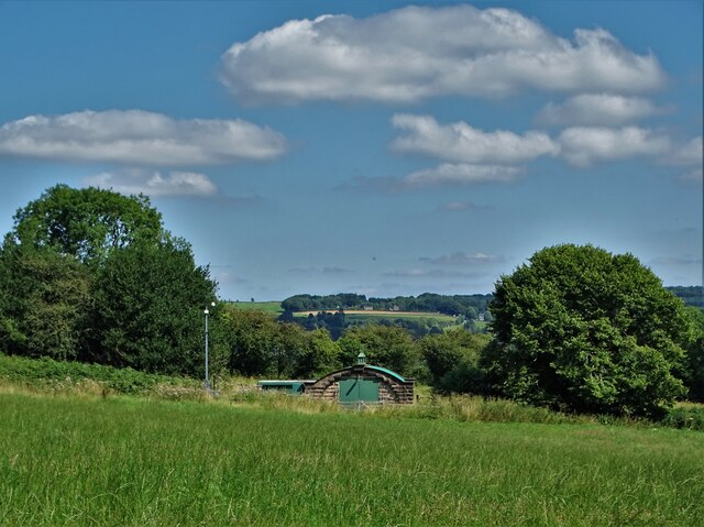
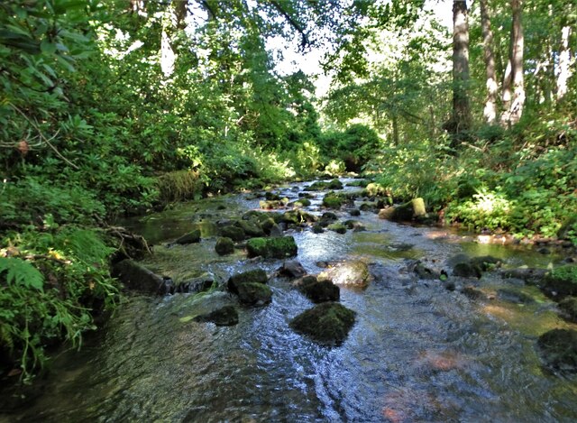
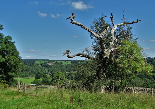
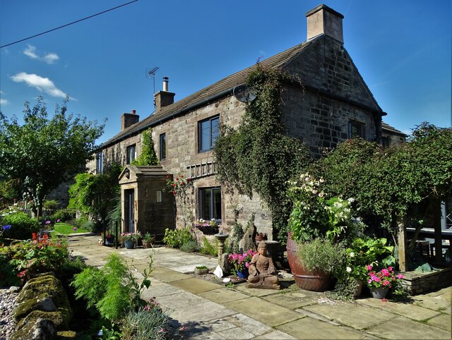
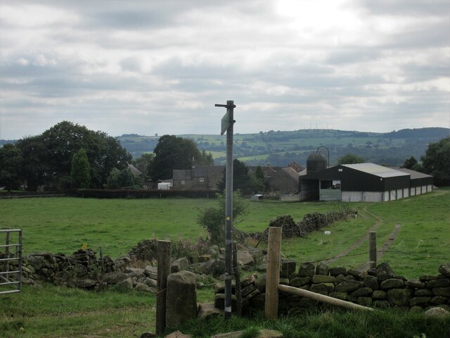
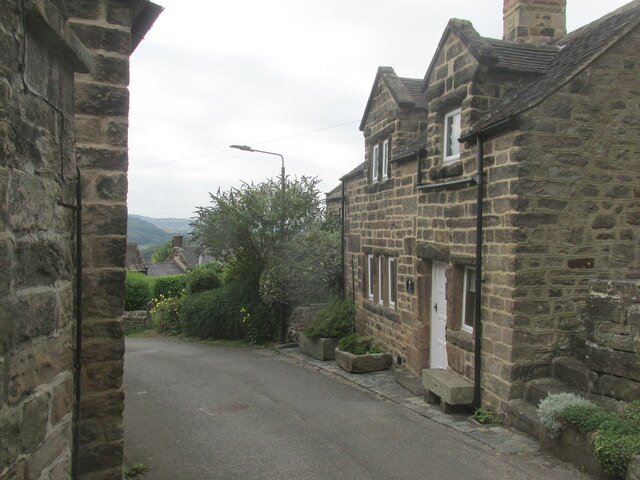
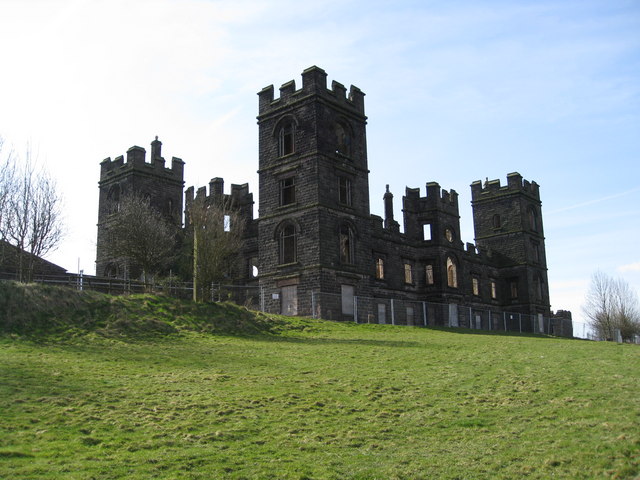
Beamore Wood Images

Images are sourced within 2km of 53.112179/-1.522294 or Grid Reference SK3257. Thanks to Geograph Open Source API. All images are credited.

View to a water pumping station North of Carr Lane between Riber and Tansley
View to a water pumping station
North of Carr Lane between Riber and Tansley
Footpath to Matlock Cliff From Littlemoor Lane
Footpath to Matlock Cliff
From Littlemoor Lane
Oak tree near Littlemoor Farm
Mill House, Lea Mill With the old mill pond in the foreground now an attractive garden feature.
Mill House, Lea Mill
With the old mill pond in the foreground now an attractive garden feature.
Lea Brook Flowing through Upper Doe Carr Wood
Lea Brook
Flowing through Upper Doe Carr Wood
North of Coumbs Wood looking towards Dethick
The farmhouse - Hearthstone Farm
Upper Holloway Farm Walking along the footpath that runs down towards the farm.
Upper Holloway Farm
Walking along the footpath that runs down towards the farm.
Cottages in Holloway Narrow street in the village.
Cottages in Holloway
Narrow street in the village.
Bauston Tor In the trees above the Incline.
Bauston Tor
In the trees above the Incline.
View to Riber Castle from Hearthstone Lane
View to Low Leas House ...and beyond that to Dethick with its church tower peeping above the trees. Dethick was the home of Anthony Babington after whom The Babington Plot of 1586 was named. It was a plan born out of bitter religious competition that would have involved the assassination of Queen Elizabeth I.
View to Low Leas House
...and beyond that to Dethick with its church tower peeping above the trees. Dethick was the home of Anthony Babington after whom The Babington Plot of 1586 was named. It was a plan born out of bitter religious competition that would have involved the assassination of Queen Elizabeth I.
Matlock town sign on Littlemoor Lane
Modern barn on a hillside by High Leas Farm
Raised path along the street at Lea. A quiet little village.
Raised path along the street at Lea.
A quiet little village.
Hillside above Cromford A footpath from Lea descends into the Derwent valley here. Middleton Top is on the opposite hill.
Hillside above Cromford
A footpath from Lea descends into the Derwent valley here. Middleton Top is on the opposite hill.
Meadow Wood Farm The eastern side of the Derwent valley.
Meadow Wood Farm
The eastern side of the Derwent valley.
Hearthstone Lane An ancient route which climbs the ridge between Lea Brook and the River Derwent.
Hearthstone Lane
An ancient route which climbs the ridge between Lea Brook and the River Derwent.
Show me another place!

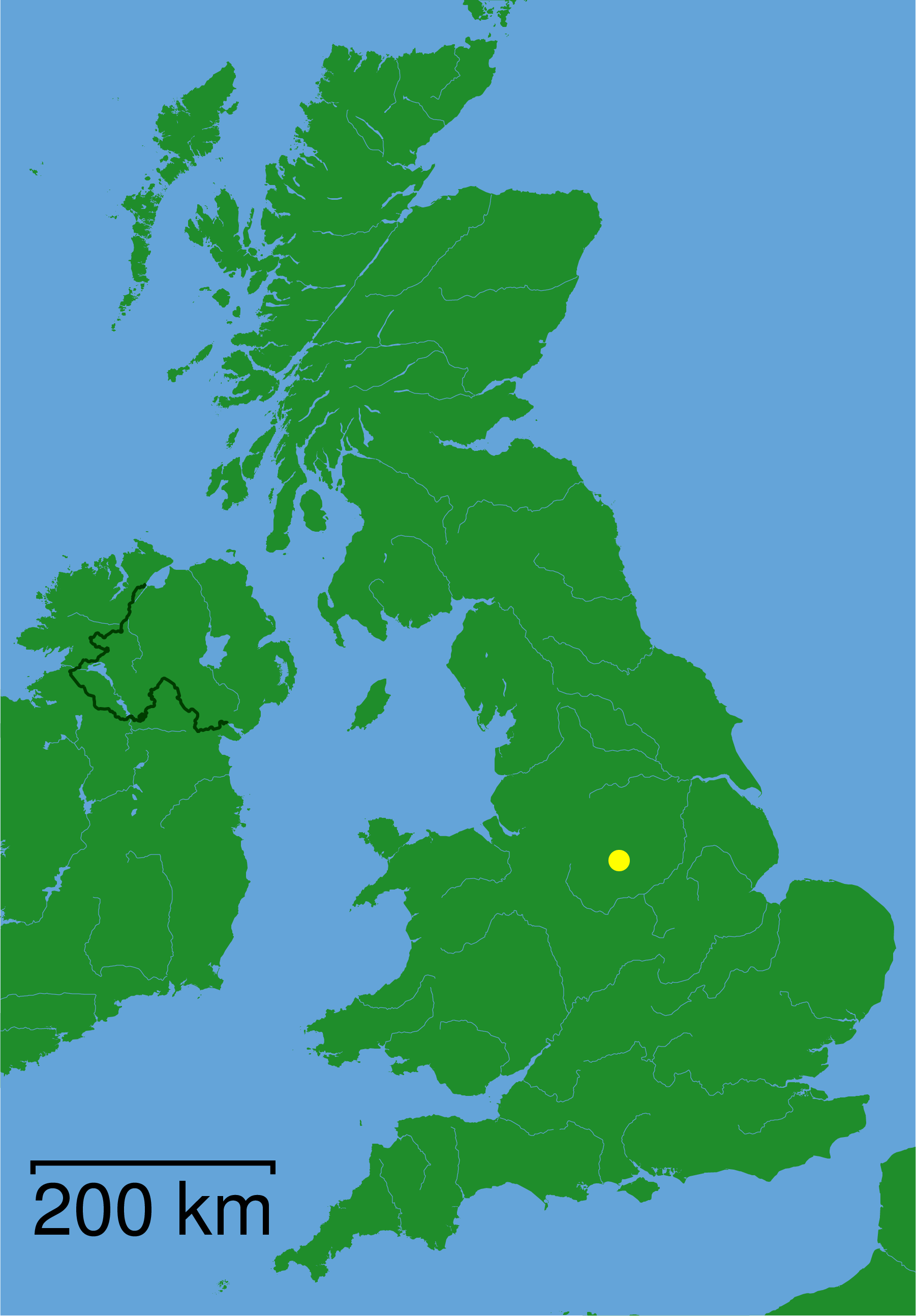
Beamore Wood is located at Grid Ref: SK3257 (Lat: 53.112179, Lng: -1.522294)

Administrative County: Derbyshire

District: Amber Valley

Police Authority: Derbyshire

What 3 Words

///loom.simulates.tablets. Near Tansley, Derbyshire

Related Wikis

Christ Church, Holloway

Christ Church, Holloway is a Grade II* listed parish church in the Church of England in Holloway, Derbyshire. == History == The foundation stone was laid...

St John the Baptist's Church, Dethick

St John the Baptist's Church, Dethick is a Grade II* listed parish church in the Church of England in Dethick, Derbyshire. == History == The church was...
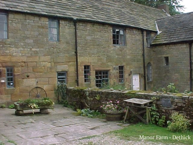
Dethick Manor

Dethick Manor is a 16th-century manor house, situated at Dethick, Amber Valley, Derbyshire, much altered in the 18th century and converted to use as a...

St Michael and All Angels' Church, Littlethorpe

St Michael and All Angels’ Church, Littlethorpe is a Grade II listed parish church in the Church of England in Littlethorpe, North Yorkshire England....

Riber

Riber is a hamlet in the civil parish of Matlock Town, in the Derbyshire Dales district, in the county of Derbyshire, England. It is situated high on a...

High Peak Junction

High Peak Junction, near Cromford, Derbyshire, England, is the name now used to describe the site where the former Cromford and High Peak Railway (C&HPR...

Leawood Pump House

The Leawood Pump House (also known as High Peak Pump House) was built near Cromford, Derbyshire, England in 1849 to supply water to the Cromford Canal...

Cromford railway station

Cromford railway station is a Grade II listed railway station owned by Network Rail and managed by East Midlands Railway. It is located in the village...

Nearby Amenities

Located within 500m of 53.112179,-1.522294
Pipeline: valve
Source: Bing
Lat/Long: 53.1080858/-1.5202806
Ele: 133.0000000
Lat/Long: 53.1142583/-1.523378
Ele: 130.0000000
Lat/Long: 53.1143195/-1.5227139
Barrier: stile
Ele: 121.0000000
Stile: squeezer
Lat/Long: 53.1146222/-1.5211236
Ele: 118.0000000
Lat/Long: 53.1144621/-1.5213267
Barrier: stile
Ele: 133.0000000
Stile: squeezer
Lat/Long: 53.114183/-1.5235794
Barrier: stile
Dog Gate: yes
Ele: 131.0000000
Steps: 2
Stile: stepover
Lat/Long: 53.1141322/-1.5243496
Barrier: stile
Steps: 0
Stile: stepover
Lat/Long: 53.1134101/-1.5284321
Ford: stepping_stones
Lat/Long: 53.1146479/-1.5206288
Barrier: stile
Ele: 131.0000000
Steps: 0
Stile: stepover
Lat/Long: 53.1145906/-1.51897
Barrier: stile
Steps: 0
Stile: stepover
Lat/Long: 53.1146412/-1.5205913
Barrier: stile
Ele: 131.0000000
Stile: squeezer
Lat/Long: 53.1145078/-1.5188719
Barrier: stile
Ele: 146.0000000
Stile: squeezer
Lat/Long: 53.1143525/-1.517954
Parking
Description: Patch of dirt by side of road
Lat/Long: 53.1102944/-1.5178124
Ele: 174.0000000
Lat/Long: 53.1118795/-1.5180096
Ele: 180.0000000
Lat/Long: 53.1106889/-1.5179828
Bench
Ele: 140.0000000
Lat/Long: 53.1150586/-1.5187145
Ele: 190.0000000
Lat/Long: 53.1101018/-1.5173993
Barrier: entrance
Lat/Long: 53.1107193/-1.518088
Parking
Access: unknown
Description: Coach Park for Lea Gardens
Ele: 170.0000000
Lat/Long: 53.111915/-1.517921
Historic Operator: Derwent Valley Water Board
Operator: Severn Trent Water
Pipeline: valve
Substance: water
Lat/Long: 53.1129999/-1.5207753
Pipeline: valve
Lat/Long: 53.1080832/-1.5203232
Historic Operator: Derwent Valley Water Board
Operator: Severn Trent Water
Pipeline: valve
Substance: water
Lat/Long: 53.1129955/-1.520815
The data included in this document is from www.openstreetmap.org. The data is made available under ODbL.

Have you been to Beamore Wood?

Leave your review of Beamore Wood below (or comments, questions and feedback).