Ash Plantation
Wood, Forest in Derbyshire South Derbyshire
England
Ash Plantation
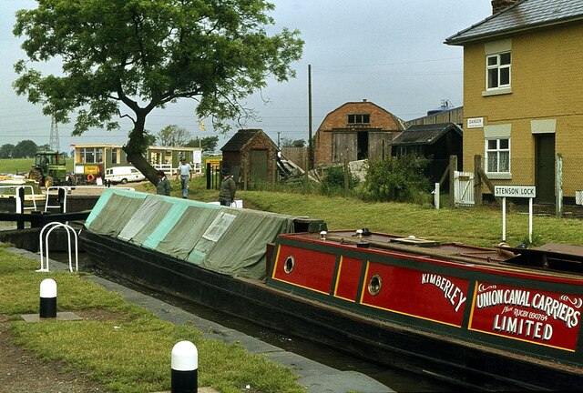
Ash Plantation is a charming woodland area located in Derbyshire, England. Nestled within the picturesque countryside, it covers an expansive area of approximately 100 acres. The plantation is primarily composed of ash trees, from which it derives its name. It is a popular spot for nature enthusiasts, hikers, and those seeking tranquility.
The woodland is home to a diverse range of flora and fauna, making it a haven for wildlife. Visitors can expect to encounter various species of birds, such as woodpeckers and owls, as well as small mammals like squirrels and rabbits. The vibrant colors of wildflowers that dot the forest floor add to its natural beauty.
Ash Plantation offers well-maintained walking trails that wind through its dense foliage. The paths are suitable for both leisurely strolls and more challenging hikes, accommodating visitors of all fitness levels. Along the way, there are several designated picnic areas where visitors can take a break and enjoy the peaceful surroundings.
For those interested in history, the plantation has a rich past. It was once part of a larger estate and has witnessed centuries of human activity. Remnants of old stone walls and foundations can still be seen, giving visitors a glimpse into its historical significance.
Overall, Ash Plantation in Derbyshire is a delightful woodland retreat that showcases the beauty of nature in all its glory. Its serene atmosphere, diverse ecosystem, and accessibility make it a must-visit destination for nature lovers and outdoor enthusiasts alike.
If you have any feedback on the listing, please let us know in the comments section below.
Ash Plantation Images
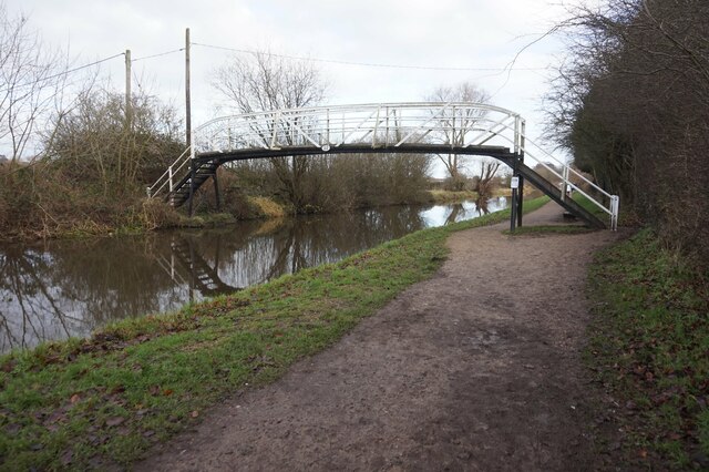
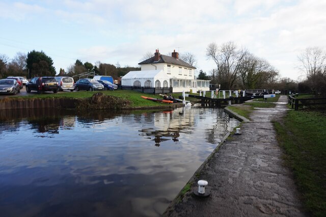
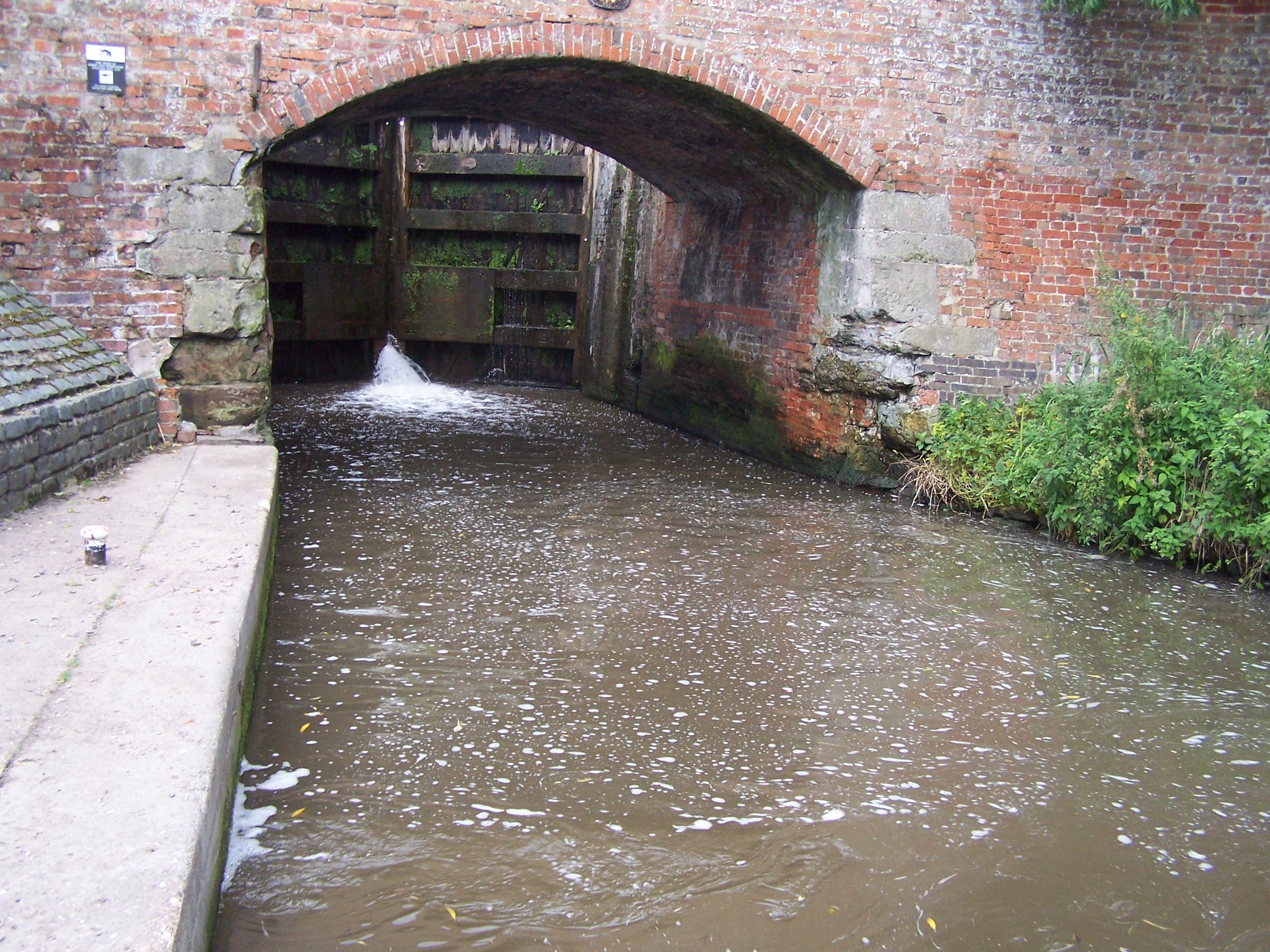
Images are sourced within 2km of 52.872171/-1.5281129 or Grid Reference SK3130. Thanks to Geograph Open Source API. All images are credited.


Ash Plantation is located at Grid Ref: SK3130 (Lat: 52.872171, Lng: -1.5281129)
Administrative County: Derbyshire
District: South Derbyshire
Police Authority: Derbyshire
What 3 Words
///customers.jeeps.remind. Near Findern, Derbyshire
Nearby Locations
Related Wikis
Twyford and Stenson
Twyford and Stenson is a civil parish in the South Derbyshire district of Derbyshire, England. Located south of Derby on the Trent and Mersey Canal, it...

Findern
Findern is a village and civil parish in the District of South Derbyshire, approximately 5–6 miles (9.7 km) south of Derby (Grid reference: SK309307)....
Stenson Fields
Stenson Fields is a semi-rural suburban housing development and civil parish in the South Derbyshire district of Derbyshire, England. The parish is contiguous...

Barrow Camera
Barrow Camera was a Knights Hospitaller foundation in the parish of Barrow upon Trent, Derbyshire, England.A Camera is: "A residence used during short...

Arleston
Arleston is a hamlet in the South Derbyshire district of Derbyshire, England, about 4 miles (6.4 km) south of the centre of Derby. It is located 1.2 miles...

Heatherton Village
Heatherton Village (or Heatherton) is a modern residential housing development in Derby, England, located at the southern end of the older suburb of Littleover...

St Andrew's Church, Twyford
St Andrew’s Church, Twyford is a Grade I listed parish church in the Church of England in Twyford, Derbyshire. == History == The church dates from the...
Derby Airport (England)
Derby Airport (also known as Derby Municipal Airport, Burnaston Airport and during the Second World War as RAF Burnaston) was an airport located at Burnaston...
Nearby Amenities
Located within 500m of 52.872171,-1.5281129Have you been to Ash Plantation?
Leave your review of Ash Plantation below (or comments, questions and feedback).